20의 오드스탁가지 명소 & 주요 장소
Odstock 주변 최고의 명소 및 볼거리에는 역사적 랜드마크와 자연의 아름다움이 조화롭게 어우러져 있습니다. 영국 윌트셔주 솔즈베리에서 남쪽으로 3마일 떨어진 곳에 위치한 이 마을은 에블 강(River Ebble)의 고요한 계곡에 자리 잡고 있습니다. 이 지역은 마을 안팎으로 다양한 관심 지점을 제공합니다. Odstock은 고요한 시골 풍경과 역사적인 매력으로 유명하며, 역사와 자연에 관심 있는 사람들을 위한 목적지입니다.
Odstock 주변 최고의 명소 및 볼거리
- 가장 인기 있는 명소는 영국 고딕 양식 건축과 역사적 중요성으로 유명한 종교 건물인 솔즈베리 대성당(Salisbury Cathedral)입니다. 이곳에는 마그나 카르타의 네…
마지막 업데이트: 8월 25, 2026


이런 장소를 발견하려면 지금 가입하세요
최고의 싱글 트랙, 봉우리 및 다양한 흥미로운 야외 장소에 대한 추천을 받아보세요.
무료 회원 가입
솔즈베리 마켓 광장
하이라이트 • 정착지
팁에 의해

퀸 엘리자베스 가든스
하이라이트 • 전망대
팁에 의해
Bokerley Dyke
하이라이트 • 트레일
팁에 의해

무료로 가입하여 오드스탁 주변의 더 많은 명소를 발견하세요.
무료 회원 가입
이미 komoot 계정이 있나요?
오늘 무료 계정으로 시작하세요
다음 모험이 기다리고 있어요.
로그인 또는 가입하기
커뮤니티 팁

Salisbury의 역사적인 중심부에 위치한 Market Square는 영국에서 가장 특징적인 시장 광장 중 하나입니다. 13세기부터 이곳에서는 정기적으로 거래가 이루어졌으며, 이 광장은 오늘날까지도 도시의 경제적, 사회적 중심지 역할을 하고 있습니다. 중세의 분위기, 역사적인 목골 가옥, 그리고 영국에 몇 안 남은 보존된 시장 십자가 중 하나인 유명한 Poultry Cross가 특히 인상적입니다. 전통적인 주간 시장이 여전히 열리고 현지인과 방문객 모두를 끌어들이기 때문에 이 광장은 역사와 현재를 인상적으로 연결합니다.
1
0
퀸 엘리자베스 가든은 솔즈베리 중심부 에이번 강가에 위치한 잘 가꾸어진 공원입니다. 화려한 화단, 오래된 나무, 조용한 산책로가 있어 휴식을 취하기에 좋은 장소입니다. 강 전망과 역사적인 구시가지와의 근접성 또한 특히 아름답습니다.
1
0

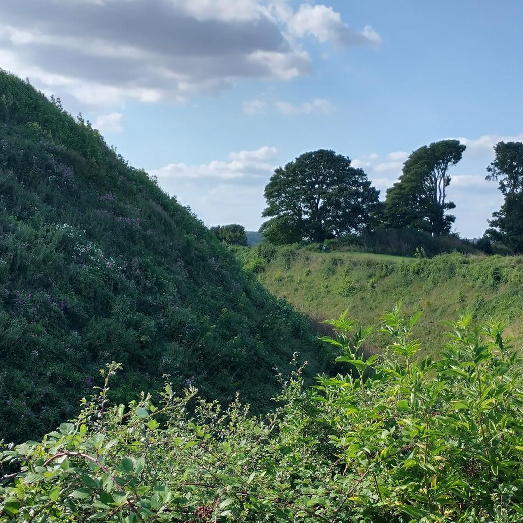
언덕 요새의 안쪽 부분만 유료입니다. 대성당의 기초를 볼 수 있고 성벽 주위를 무료로 걸을 수 있습니다.
0
0

Still very original and with a lot of charm - it is a pleasure to stroll here or just sit in a café and watch the hustle and bustle on the market square
3
0
This is a must-see if you are in the area; it is very impressive to be able to immerse yourself in the history of the country in this way.
2
0

Bokerley Dyke is a substantial linear earthwork, approximately 5.75 kilometers (3.6 miles) long, located on Cranborne Chase. It runs along part of the border between Dorset and Hampshire, specifically between Woodyates and Martin. It is part of a larger Scheduled Monument that also includes Grim's Ditch and other earthworks. The dyke has a multi-period history. It is believed to have originated in the Bronze Age or Early Iron Age as an important political and cultural boundary. In the 1st century, it was cut through by a Roman road, Ackling Dyke, which ran between Old Sarum and Badbury Rings. In the 4th century, the dyke was remodeled and brought back into use. During this period, the Roman road was blocked. A coin of Valens found during excavations dates this activity to shortly after 364 AD, with some sources suggesting it was built between 367-368 AD. This remodeling may have been a defensive measure against attacks on Britain by Picts, Scots, and Saxons. The Roman road was eventually reopened, but the dyke may have continued to be used as a boundary after the Roman administration ended. Today, it still forms part of the border between the counties of Dorset and Hampshire.
0
0
오드스탁 주변에서 가장 인기 있는 명소


더 살펴보기
찾고 있는 하이라이트를 아직 못 찾으셨나요? 다른 지역의 주요 명소 가이드를 확인해보세요:
