20의 틸스헤드가지 명소 & 주요 장소
틸스헤드에는 둘러볼 만한 장소가 많답니다. 하이킹 또는 사이클링을 좋아한다면 틸스헤드에 숨겨진 20
가지 보석을 만날 수 있을 거예요. 이 지역의 주요 명소를 살펴보면서 다음 모험을 계획해보세요.
마지막 업데이트: 10월 18, 2026
스톤헨지
하이라이트 • 역사적 장소
팁에 의해

스톤헨지 방문자 센터의 사센 스톤
하이라이트 • 기념물
번역자 Google •
팁에 의해

이런 장소를 발견하려면 지금 가입하세요
최고의 싱글 트랙, 봉우리 및 다양한 흥미로운 야외 장소에 대한 추천을 받아보세요.

세인트 제임스 교회, 브래튼
하이라이트 • 기타
팁에 의해

무료로 가입하여 틸스헤드 주변의 더 많은 명소를 발견하세요.
이미 komoot 계정이 있나요?
오늘 무료 계정으로 시작하세요
다음 모험이 기다리고 있어요.



커뮤니티 팁


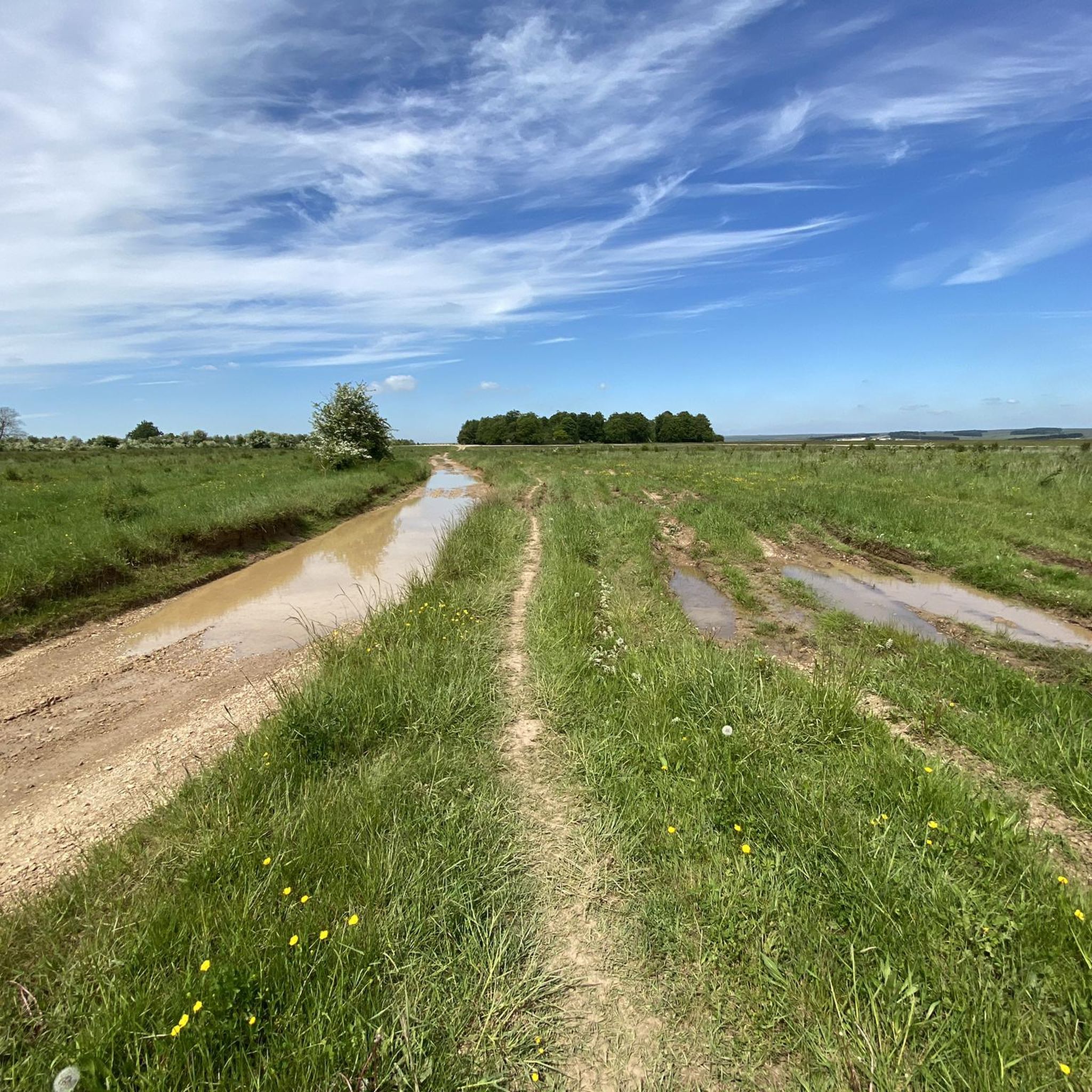
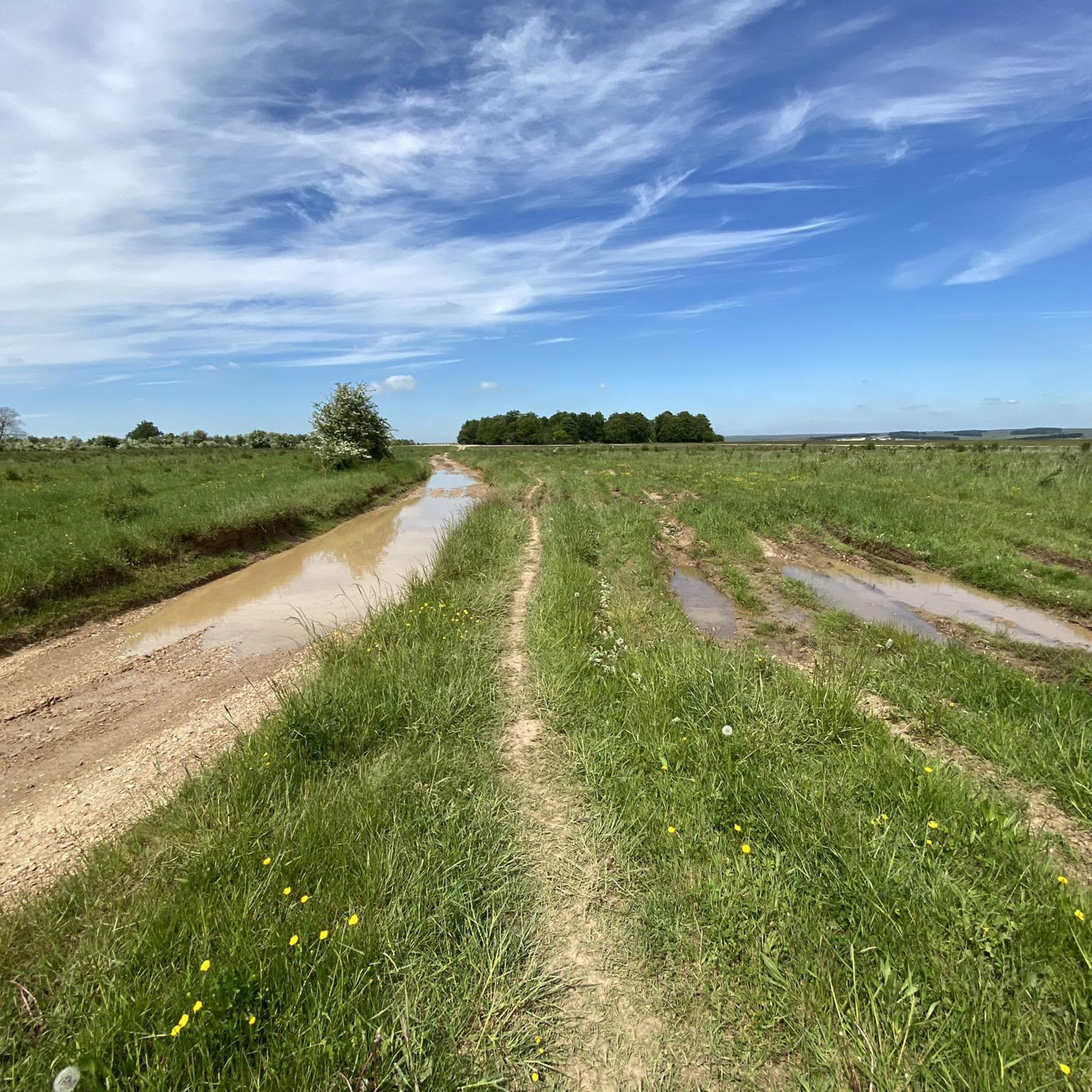
Why exactly there? Archaeologists suspect several reasons: Line of sight From the mounds, there is a direct view of Stonehenge. Sacred landscape The entire plain was a ritual area with paths, graves, and ceremonial sites. Status symbol Important people were buried near the famous sanctuary. Interesting fact There are over 300 burial mounds in the vicinity of Stonehenge – one of the largest prehistoric burial landscapes in Europe.
0
0
Here is a simple overview map explaining the landscape south of Stonehenge and why the burial mounds are located there. Landscape south of Stonehenge The most important range of mounds is called Normanton Down Barrows. It lies about 1 km south of Stonehenge. There are over 40 burial mounds there, dating from 2600–1600 BC. The mounds are situated on a long ridge that faces directly towards Stonehenge. Simplified diagram of the location North ↑ Stonehenge ○ | | approx. 1 km | ───────────────── Hill ridge with many burial mounds (Normanton Down) ○ ○ ○ ○ ○ ○ ○ ○ ○ ○ ↓ South Important hills there One particularly famous burial mound is Bush Barrow A richly furnished grave of a Bronze Age prince, containing gold objects and weapons, was found there.
0
0

It's unbelievable what people have achieved and built in the past (without any technology) - it's simply impressive and breathtaking
2
0

James the Greater (the Latin 'major' is not translated as 'great' in English), to whom this church near Bratton was dedicated, was, together with his brother, part of the inner circle of Jesus' disciples. In his version of the "Good News" (this is the meaning of the word "gospel"), the Evangelist Mark enumerates a list of the apostles: "James, the son of Zebedee, and John, the brother of James—them he surnamed Boanerges, which means Sons of Thunder" (Mark 3:17). They were said to have had strong tempers, but were faithful followers of Jesus Christ, in whom they recognized the promised Messiah. According to the Acts of the Apostles, James was executed for his faith. His tomb in Santiago de Compostela, Galicia (Spain), is one of the most famous and important pilgrimage destinations in the world.
0
0
A television series that I wholeheartedly recommend introduces culture-loving viewers to remarkable testimonies to human activity from many countries around the world. What they all have in common is that they have been granted "World Heritage" status by UNESCO. One of the episodes documents the ancient and still mysterious stone circle of Stonehenge. The accompanying documentary states: "The Salisbury Plateau in southern England is a harsh and uninviting area, often subject to cold and biting winds. About 5,000 years ago, during the Neolithic period, people lived here, about whom we know very little. But what they and subsequent generations left behind is impressive beyond measure: the stone circles and burial mounds of the Megalithic culture." This film (in German) can be found in the ARD media library under the following link => https://www.ardmediathek.de/video/schaetze-der-welt/stonehenge-grossbritannien-folge-16/swr/Y3JpZDovL3N3ci5kZS83MjQ1ODkw
0
1

If you are in the area, a mandatory stopover, and there is also no need to pay an entrance fee because you pass very close to the monument. When you leave, be careful if you are going to pass through the A303.
3
0

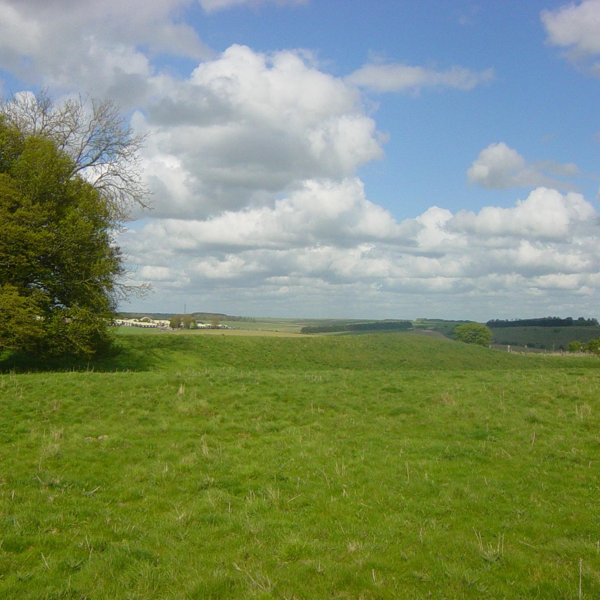
To the south lies a group of burial mounds called the Cursus Barrows. The footpath to the impressive stone circle leads across the fields with the burial mounds, which can be clearly seen and are well explained on a display board. Bone remains and various beads were found in the graves.
5
0
틸스헤드 주변에서 가장 인기 있는 명소


더 살펴보기
찾고 있는 하이라이트를 아직 못 찾으셨나요? 다른 지역의 주요 명소 가이드를 확인해보세요:
