20의 노스 뉴턴가지 명소 & 주요 장소
노스 뉴턴에는 둘러볼 만한 장소가 많답니다. 하이킹 또는 사이클링을 좋아한다면 노스 뉴턴에 숨겨진 20
가지 보석을 만날 수 있을 거예요. 이 지역의 주요 명소를 살펴보면서 다음 모험을 계획해보세요.
마지막 업데이트: 8월 29, 2026

웨스트 케넷 롱 배로우
하이라이트 • 역사적 장소
팁에 의해

이런 장소를 발견하려면 지금 가입하세요
최고의 싱글 트랙, 봉우리 및 다양한 흥미로운 야외 장소에 대한 추천을 받아보세요.
무료 회원 가입


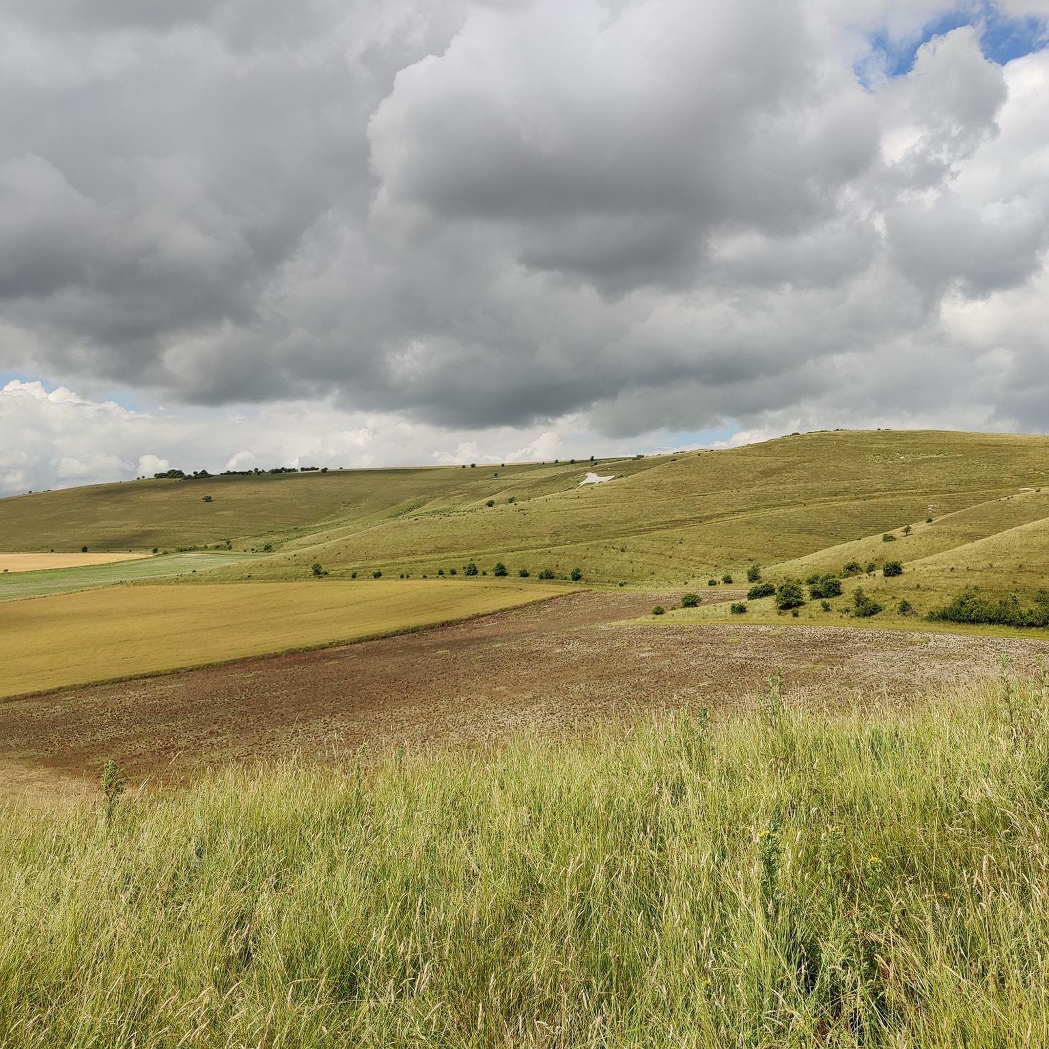
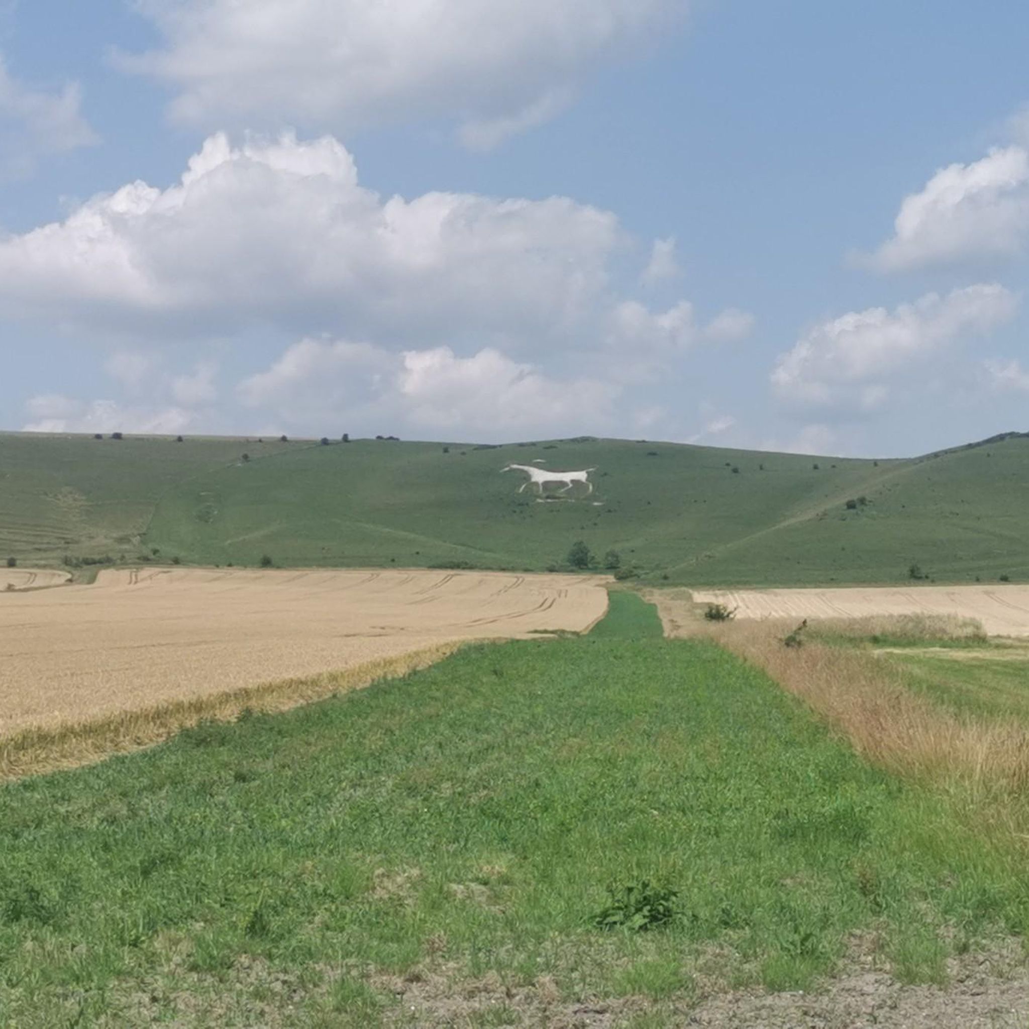
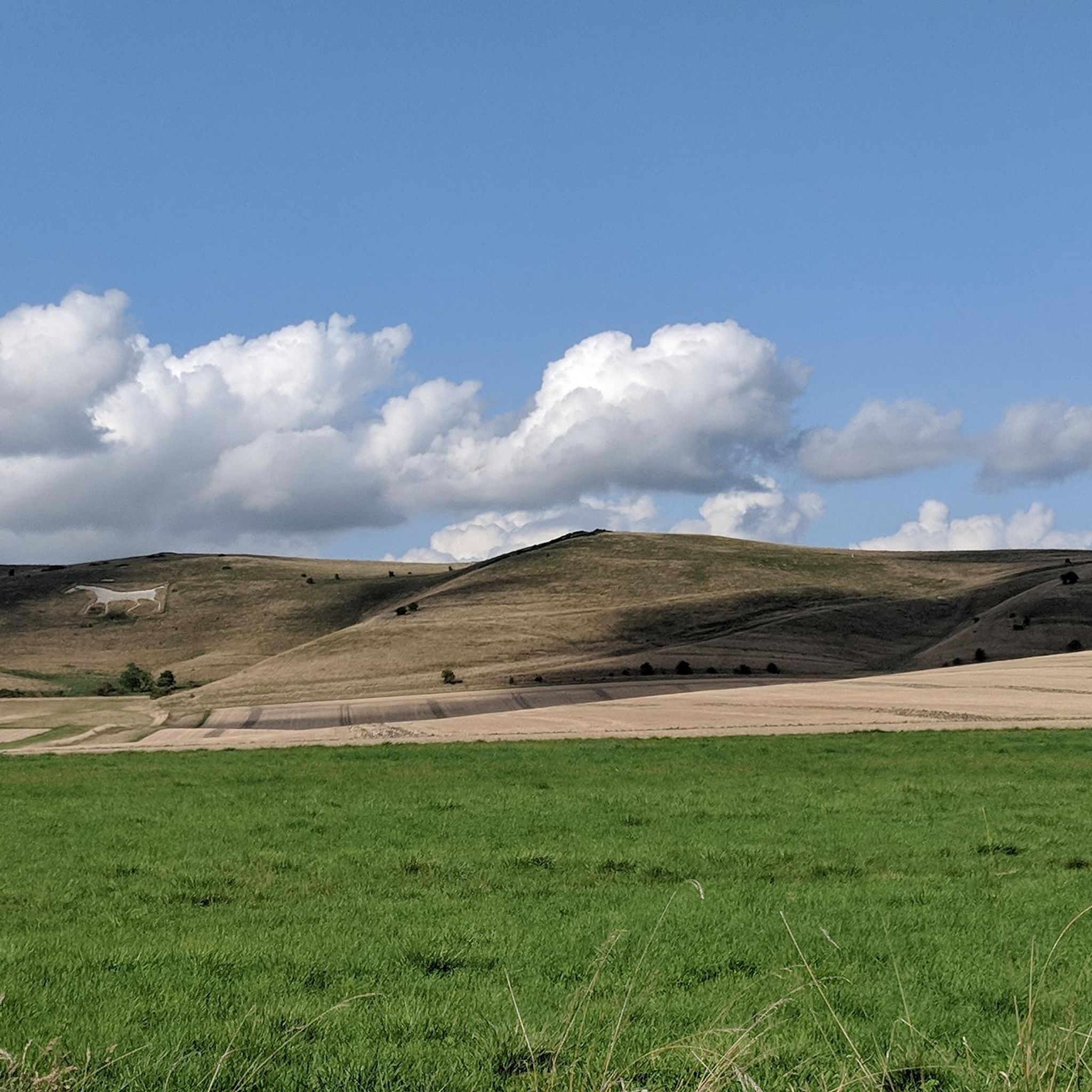
Alton Barnes 화이트 호스
하이라이트 • 전망대
팁에 의해

무료로 가입하여 노스 뉴턴 주변의 더 많은 명소를 발견하세요.
무료 회원 가입
이미 komoot 계정이 있나요?
오늘 무료 계정으로 시작하세요
다음 모험이 기다리고 있어요.
로그인 또는 가입하기
커뮤니티 팁


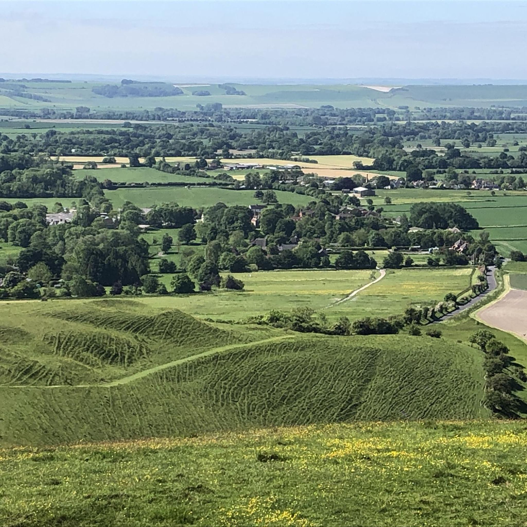
The Path: The formal Wansdyke Path is a long-distance walking route that primarily follows the impressive East Wansdyke in Wiltshire. Route: It typically runs for about 13 miles (21 km) between Marlborough and Morgan's Hill. Experience: Walking the path offers a spectacular experience, with sections that allow you to walk along the top of the impressive bank, providing commanding views over the surrounding Marlborough Downs and Pewsey Vale. Connectivity: Parts of the Wansdyke Path coincide with other regional walking routes, such as the White Horse Trail and the Wessex Ridgeway.
0
0
The Wansdyke is traditionally divided into two main parts: East Wansdyke: The most impressive and best-preserved section, running between Savernake Forest near Marlborough and Morgan's Hill in Wiltshire. West Wansdyke: A less substantial section running from Monkton Combe (south of Bath) to the hill fort of Maes Knoll (south of Bristol). Middle Section: The section connecting the two is often marked by the line of the old London to Bath Roman road.
0
0
Dating and Purpose: It is generally believed to be post-Roman (late Roman or sub-Roman, possibly 5th or 6th century AD) and was likely built by the native Britons as a defensive measure against the expanding Anglo-Saxons.
0
0
A series of early medieval defensive linear earthworks consisting of a large bank and a deep ditch. The ditch generally faces north, suggesting it was built as a defence against invaders coming from the north. Location: The Wansdyke runs in an east-west direction through the West Country of England, stretching across parts of Wiltshire and Somerset. Name Origin: Its name, Wansdyke, is thought to be derived from "Woden's Dyke", referring to the Anglo-Saxon god Woden.
0
0

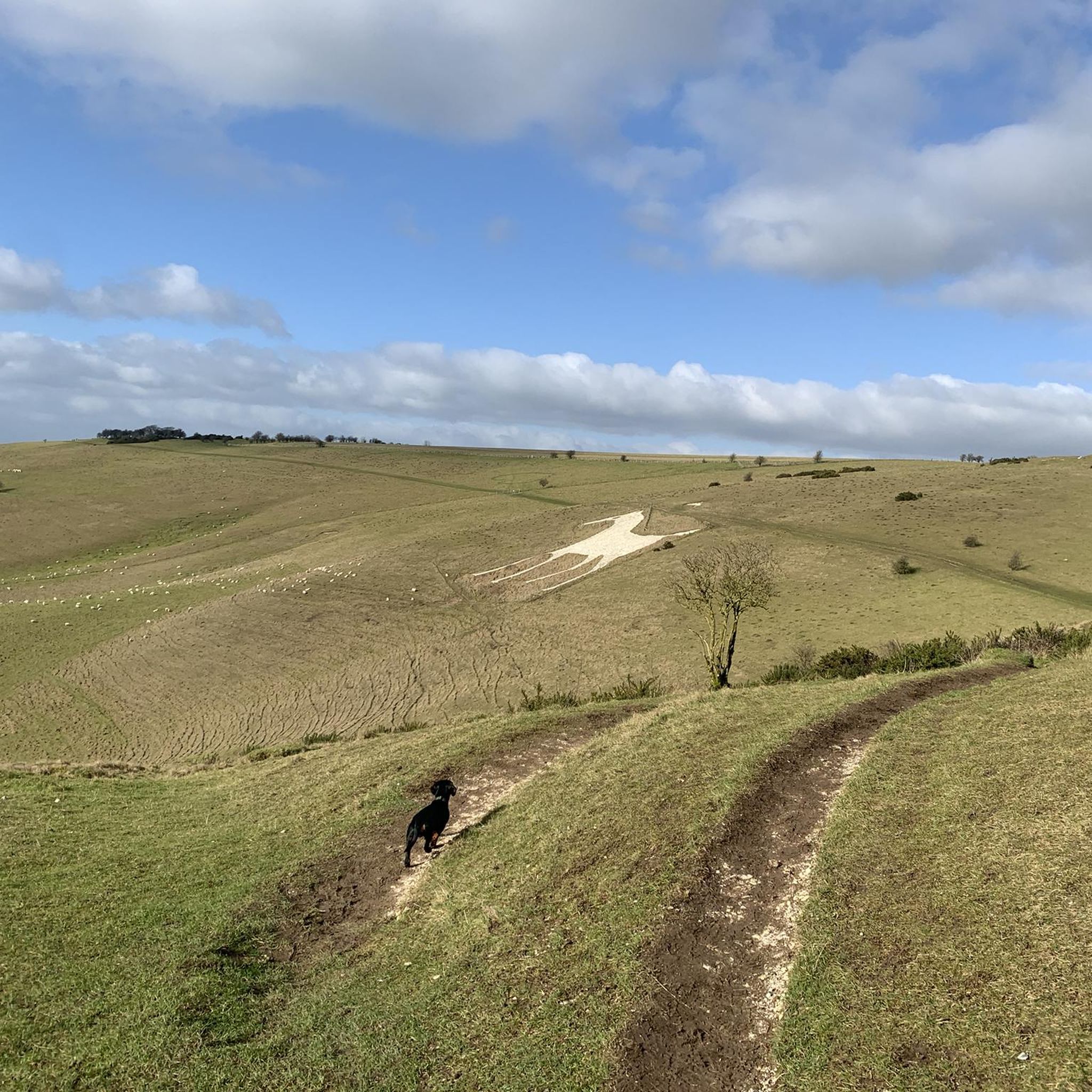
Sidbury Hill, or Sidbury Camp, is the site of an Iron Age bivallate hillfort on the eastern edge of Salisbury Plain in Wiltshire, England. The site is sub-triangular in shape, approximately 17 acres in area, and is constructed on the site of a Neolithic settlement. The hill offers excellent defensive slopes on all sides, which have been supplemented by the double ditch and rampart earthworks. The settlement and hillfort were partially excavated in the 19th century and the 1950s; there were finds of pottery and other artefacts. A Neolithic settlement site was discovered during the excavation in the 1950s, being of a section of the south-east rampart of the hillfort. A number of flint flakes and tools were recovered. The site is a scheduled national monument. Trees planted in the 1960s were removed from 2002 and the area was allowed to revert to the natural chalk downland. Access to the site is difficult as it is on, or near, Ministry of Defence land, and there are many tank tracks and occasional artillery firing in the area. There are also numerous ditches, barrows, trackways, field systems, and tumuli in the area. Due to erosion issues climbing on the barrow is now forbidden. Such a shame, but understandable.
0
0
A well preserved bell barrow, the mound of which measures 22m in diameter and stands up to 2.8m high. The mound is surrounded by a berm up to 5m in diameter and a ditch 0.7m deep and up to 6.2m wide. One of these two bell barrows produced a sherd of Bronze Age pottery and a fragment of a polished greenstone axe, both found by Owen Meyrick. A bell barrow, the mound of which measures 24m in diameter and stands 2.7m high. The berm and ditch which surround this barrow have been levelled by cultivation on three sides but survive as buried features on the fourth. From measurements on the western side it can be seen that the berm is c.3m wide and that the ditch is c.5m wide.
0
0
노스 뉴턴 주변에서 가장 인기 있는 명소


더 살펴보기
찾고 있는 하이라이트를 아직 못 찾으셨나요? 다른 지역의 주요 명소 가이드를 확인해보세요:
