락 단테른 최고의 러닝 경로
4.7
(61)
5,355
달리기 하는 사람
54
러닝
락 단테른에서 하이킹하며 본네빌 구석 부분까지 살펴볼까요? 락 단테른에 있는 모든 하이킹 및 워킹 경로 컬렉션 중 가장 멋진 하이킹 경로를 엄선하여 소개해드릴게요. 다른 하이커가 공유한 실제 팁과 사진을 살펴보고 후기를 읽으며 마음에 드는 락 단테른 워킹 경로를 찾아보세요.
마지막 업데이트: 9월 3, 2026
94
달리기 하는 사람
15.6km
03:10
1,060m
1,060m
어려운 조깅. 우수한 체력 필요. 튼튼한 신발을 신고 미끄러지지 않게 조심해야 하며, 높은 산을 오른 경험이 있어야 함.
20
달리기 하는 사람
7.20km
01:33
570m
570m
어려운 조깅. 우수한 체력 필요. 튼튼한 신발을 신고 미끄러지지 않게 조심해야 하며, 높은 산을 오른 경험이 있어야 함.

4.5
(4)
194
달리기 하는 사람
15.6km
01:59
420m
420m
어려운 조깅. 우수한 체력 필요. 튼튼한 신발을 신고 미끄러지지 않게 조심해야 하며, 높은 산을 오른 경험이 있어야 함.
4.0
(2)
48
달리기 하는 사람
8.52km
01:22
440m
440m
어려운 조깅. 우수한 체력 필요. 튼튼한 신발을 신고 미끄러지지 않게 조심해야 하며, 높은 산을 오른 경험이 있어야 함.
13
달리기 하는 사람
15.7km
03:25
1,370m
1,370m
어려운 조깅. 우수한 체력 필요. 튼튼한 신발을 신고 미끄러지지 않게 조심해야 하며, 높은 산을 오른 경험이 있어야 함.
더 다양한 경로와 다른 탐험가들의 추천을 살펴보세요.
이미 komoot 계정이 있나요?
투어 추천은 다른 사람들이 komoot에서 완료한 수천 개의 활동을 바탕으로 구성되어 있습니다.
오늘 무료 계정으로 시작하세요
다음 모험이 기다리고 있어요.
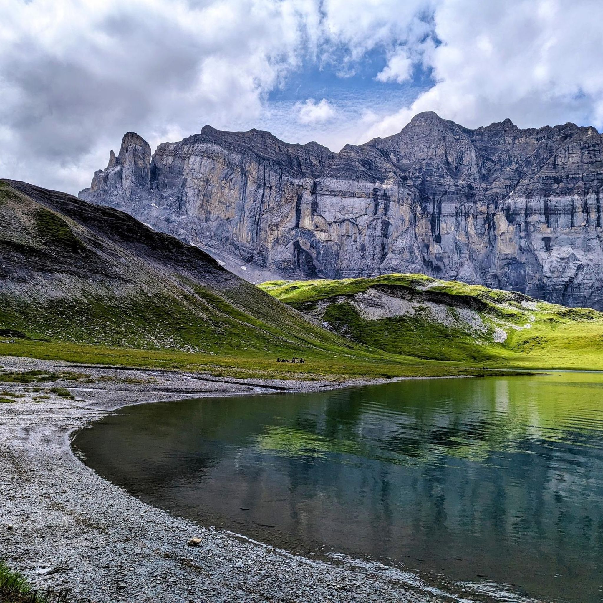
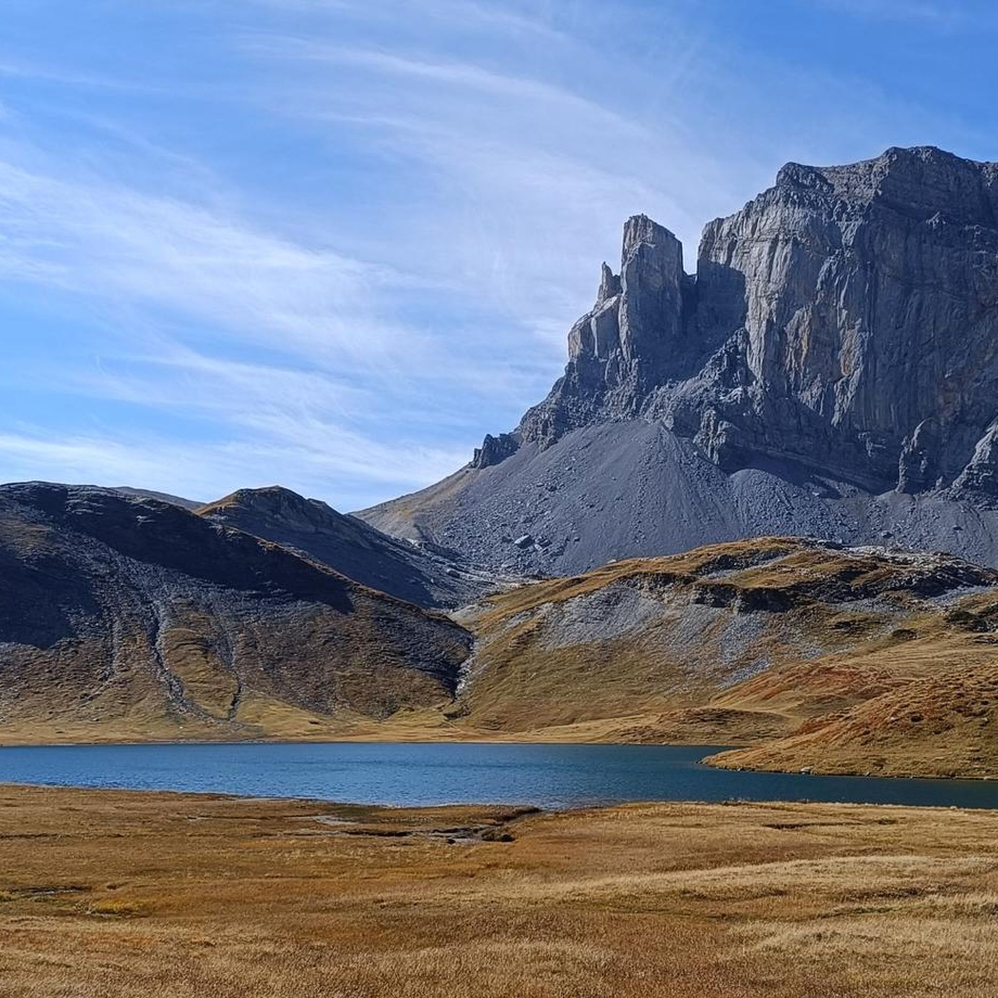
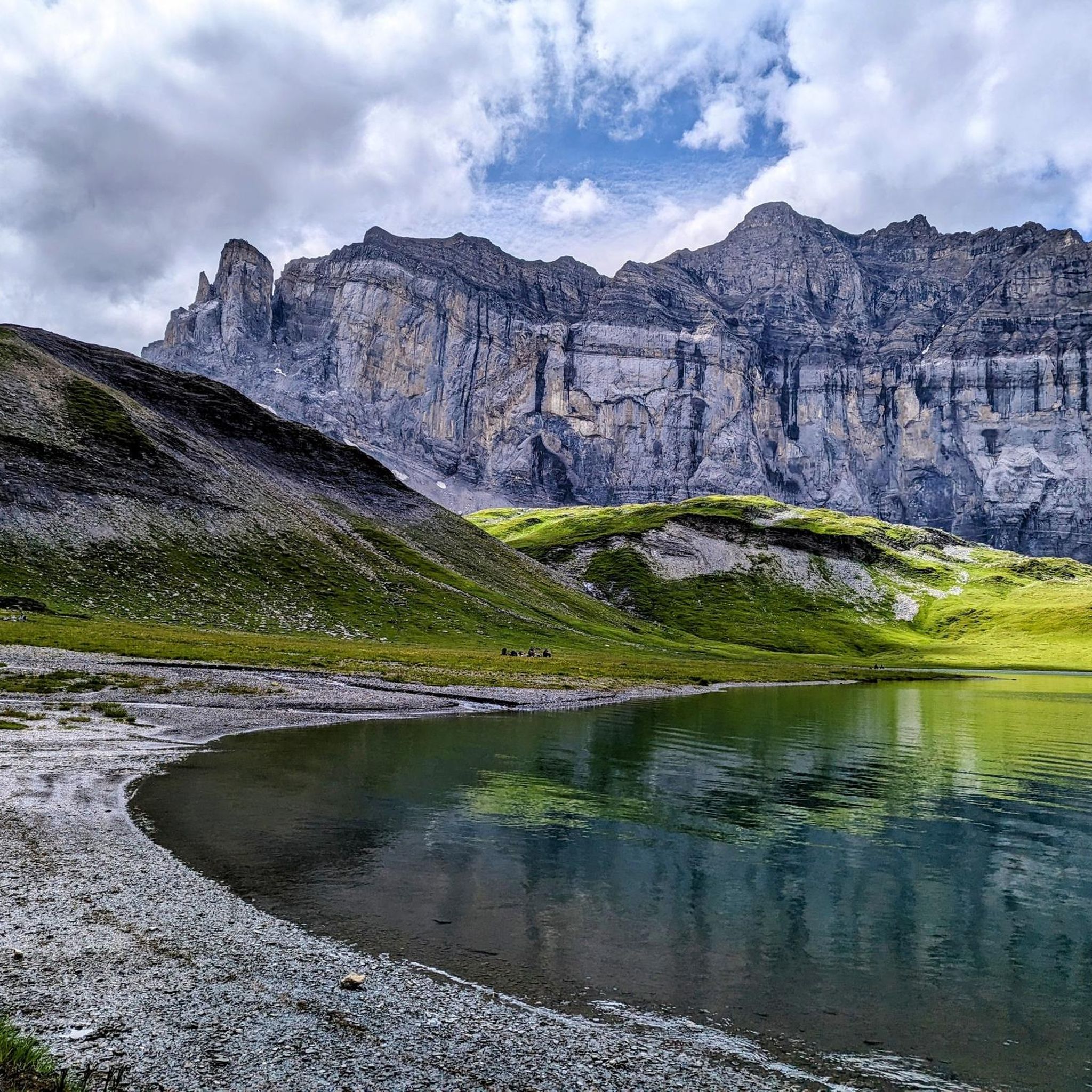
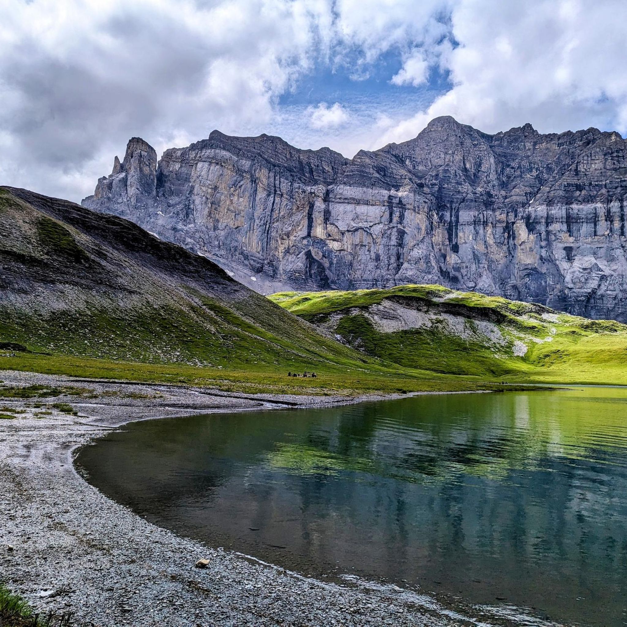


커뮤니티 팁

In autumn, a room is open as a place to sleep (go up the steel stairs at the back).
0
1

The views of the ravine from this bridge are impressive.
1
0

The Cascade du Rouget, also known as the "Queen of the Alps," is one of the most impressive waterfalls in Haute-Savoie. It's a lovely place to linger, and you can park right there 🙂
1
0

You have to have your footing sure to go around the Buet. You have to look carefully where the path is in the scree, if you are a little apprehensive, there is the possibility of going around it by going through the Cheval Blanc. You will have to pass cables and the last climb is very steep but it is so beautiful. In mid-July when I did it the small lake was still frozen and snowy. Possibility of doing this tour in 2 days by sleeping at the Grenairon refuge
0
0

The Rouget waterfall is a waterfall in the Giffre Valley (France) which flows all year round from the Sales torrent upstream and which joins the Giffre des Fonds downstream to constitute the Petit Giffre in the commune of Sixt- Horseshoe. It is made up of three jumps: the first two upstream of the road separated by a short flat which constitutes the upstream fall and a last one downstream of the road after a short course of the torrent which constitutes the downstream fall. The upstream fall is around a hundred meters high with a jump halfway up which can be impressive when the snow melts due to the rebound of the water on the stone slab. In case of high flow, splashes of water make the surrounding stones slippery; accidents have already occurred in these dangerous conditions. It is accessible directly by a small road, which makes it a very popular tourist site despite the deterioration of the surface. It is one of the two referenced sites in the commune with the Fer-à-Cheval cirque. Her nickname is “the queen of the Alps”. Popular traditions have attributed to it virtues of virility and fertility to such an extent that the elders still offer a bottle of this water to newlyweds, without the qualities of this water having ever been proven. This waterfall was named the most beautiful French waterfall in 2009.
1
0
Point of intersection La Cascade du Rouget Altitude 960m The Rouget waterfall is a waterfall in the Giffre Valley (France) which flows all year round from the Sales torrent upstream and which joins the Giffre des Fonds downstream to constitute the Petit Giffre in the commune of Sixt- Horseshoe. It is made up of three jumps: the first two upstream of the road separated by a short flat which constitutes the upstream fall and a last one downstream of the road after a short course of the torrent which constitutes the downstream fall. The upstream fall is around a hundred meters high with a jump halfway up which can be impressive when the snow melts due to the rebound of the water on the stone slab. In case of high flow, splashes of water make the surrounding stones slippery; accidents have already occurred in these dangerous conditions. It is accessible directly by a small road, which makes it a very popular tourist site despite the deterioration of the surface. It is one of the two referenced sites in the commune with the Fer-à-Cheval cirque. Her nickname is “the queen of the Alps”. Popular traditions have attributed to it virtues of virility and fertility to such an extent that the elders still offer a bottle of this water to newlyweds, without the qualities of this water having ever been proven. This waterfall was named the most beautiful French waterfall in 2009.
1
0

Buvette and restaurant on the outskirts of Sixt-Fer-à-Cheval, offering food and drinks in a beautiful alpine setting. A great place to have a coffee before a long mountain walk or a cold beer afterwards.
1
0


더 살펴보기
다른 지역의 최고의 러닝 트레일 & 경로를 살펴보세요.
