20의 디마가지 명소 & 주요 장소
디마에는 둘러볼 만한 장소가 많답니다. 하이킹 또는 사이클링을 좋아한다면 디마에 숨겨진 20
가지 보석을 만날 수 있을 거예요. 이 지역의 주요 명소를 살펴보면서 다음 모험을 계획해보세요.
마지막 업데이트: 8월 29, 2026

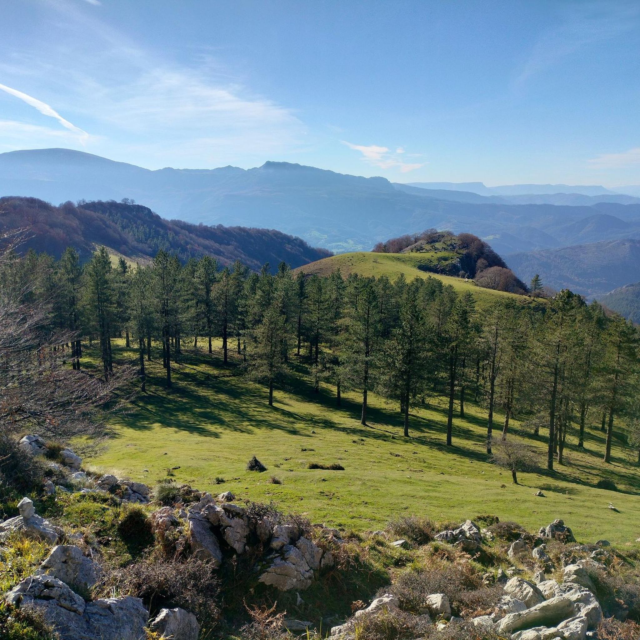
안보토(1331m)
하이라이트 • 정상
번역자 Google •
팁에 의해

이런 장소를 발견하려면 지금 가입하세요
최고의 싱글 트랙, 봉우리 및 다양한 흥미로운 야외 장소에 대한 추천을 받아보세요.
무료 회원 가입
알토 데 무니케타 (몬테칼보)
하이라이트 • 산악 고개
번역자 Google •
팁에 의해


Alto de Sarasola
하이라이트 • 산악 고개
번역자 Google •
팁에 의해

무료로 가입하여 디마 주변의 더 많은 명소를 발견하세요.
무료 회원 가입
이미 komoot 계정이 있나요?
오늘 무료 계정으로 시작하세요
다음 모험이 기다리고 있어요.
로그인 또는 가입하기


커뮤니티 팁


모든 취향을 위한 아름다운 장소 하이킹, 자전거 타기, 아이들과 함께 놀이터와 그네가 있는 공원으로
0
0

The BI-3524 regional highway connects the towns of Ugao-Miraballes and Artea, crossing the municipality of Zeberio. It is a conventional two-way road with a variable road width of about six meters and has a winding layout, with very tight curves. The section of road on which action has been taken begins before reaching the Olatxu neighborhood, in Zeberio, P.K. 15+800, and ends at the station. 26+060, coinciding with the intersection with the BI-3513 highway, in the municipality of Artea. There are two sections of this road transferred to the municipalities in which no action has been taken; a section of 840 meters in the Olatxu neighborhood and another of 1,300 meters in the urban center of Zubialde.
0
0

Montecalvo is located at an altitude of 381 meters, offering impressive views of the sea and Urdaibai on one side and Duranguesado on the other. The Muniketa road was the main communication route south through Durango until 1848, when the Autzagane road was improved.
1
0

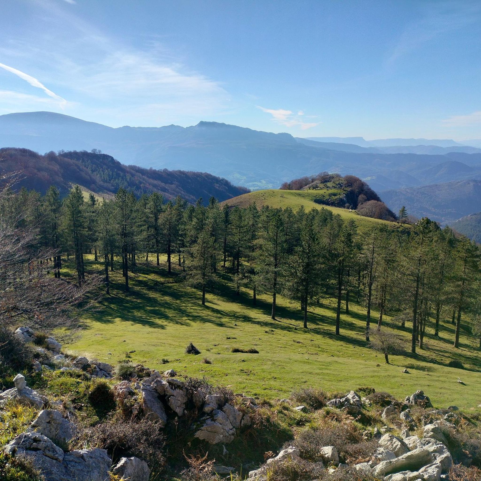
Mountain between Vizcaya and Álava of 1331 meters of altitude. It is one of the best-known mountains of the Basque Mountains due to its importance in traditional Basque culture. In it, Basque mythology establishes the main dwelling of the goddess Mari, known as the Lady of Amboto.
2
0

Mythical place for Biscayan cyclists, the scene of endless races of all categories!
0
0

amazing of the Best peaks in Euskadi, yes, climb on days when it doesn't rain
0
0

From the top of Muniketa or Montecalvo, there are exceptional views and you can see the sea and Urdaibai on one side, as well as the Duranguesado on the other. Muniketa is a dispersed neighborhood with several typical hamlets and until 1848 it was the main route of communication to the south through Durango. That year the Autzagane road was improved. In Muniketa is the Astei agrotourism, a rehabilitated farmhouse with restaurant service from where we can perfectly see a slope of Mount Oiz and Goraño. From Artatza, the ascent is a 3.7-kilometre climb with 261 meters of positive elevation gain, 12 beautiful horseshoe curves and a very regular slope of around 7%. From Muxika, the ascent is 9 kilometers and a total of 382 meters of positive slope. More info at: https://www.muxikakoudala.eus/es-ES/informacion-cultural/Barrios/Paginas/Muniketa.aspx
0
0
디마 주변에서 가장 인기 있는 명소


더 살펴보기
찾고 있는 하이라이트를 아직 못 찾으셨나요? 다른 지역의 주요 명소 가이드를 확인해보세요:
