베니아르다/베니아르다 최고의 등산 경로
4.9
(5)
16
등산객
1
하이킹
베니아르다/베니아르다에서 하이킹하며 몬타냐 구석 부분까지 살펴볼까요? 베니아르다/베니아르다에 있는 모든 하이킹 및 워킹 경로 컬렉션 중 가장 멋진 하이킹 경로를 엄선하여 소개해드릴게요. 다른 하이커가 공유한 실제 팁과 사진을 살펴보고 후기를 읽으며 마음에 드는 베니아르다/베니아르다 워킹 경로를 찾아보세요.
마지막 업데이트: 8월 31, 2026
6
등산객
11.4km
05:01
650m
650m
어려운 등산 코스. 우수한 체력 필요. 대부분 갈 수 있는 길. 미끄러지지 않게 조심해야 함.
4.8
(4)
5
등산객
6.26km
02:27
280m
280m
보통 등산 코스. 좋은 체력 필요. 대부분 갈 수 있는 길. 미끄러지지 않게 조심해야 함.

무료 회원 가입
5.0
(1)
5
등산객
14.1km
05:35
750m
750m
어려운 등산 코스. 우수한 체력 필요. 튼튼한 신발을 신고 미끄러지지 않게 조심해야 하며, 높은 산을 오른 경험이 있어야 함.
투어 추천은 다른 사람들이 komoot에서 완료한 수천 개의 활동을 바탕으로 구성되어 있습니다.
오늘 무료 계정으로 시작하세요
다음 모험이 기다리고 있어요.
로그인 또는 가입하기
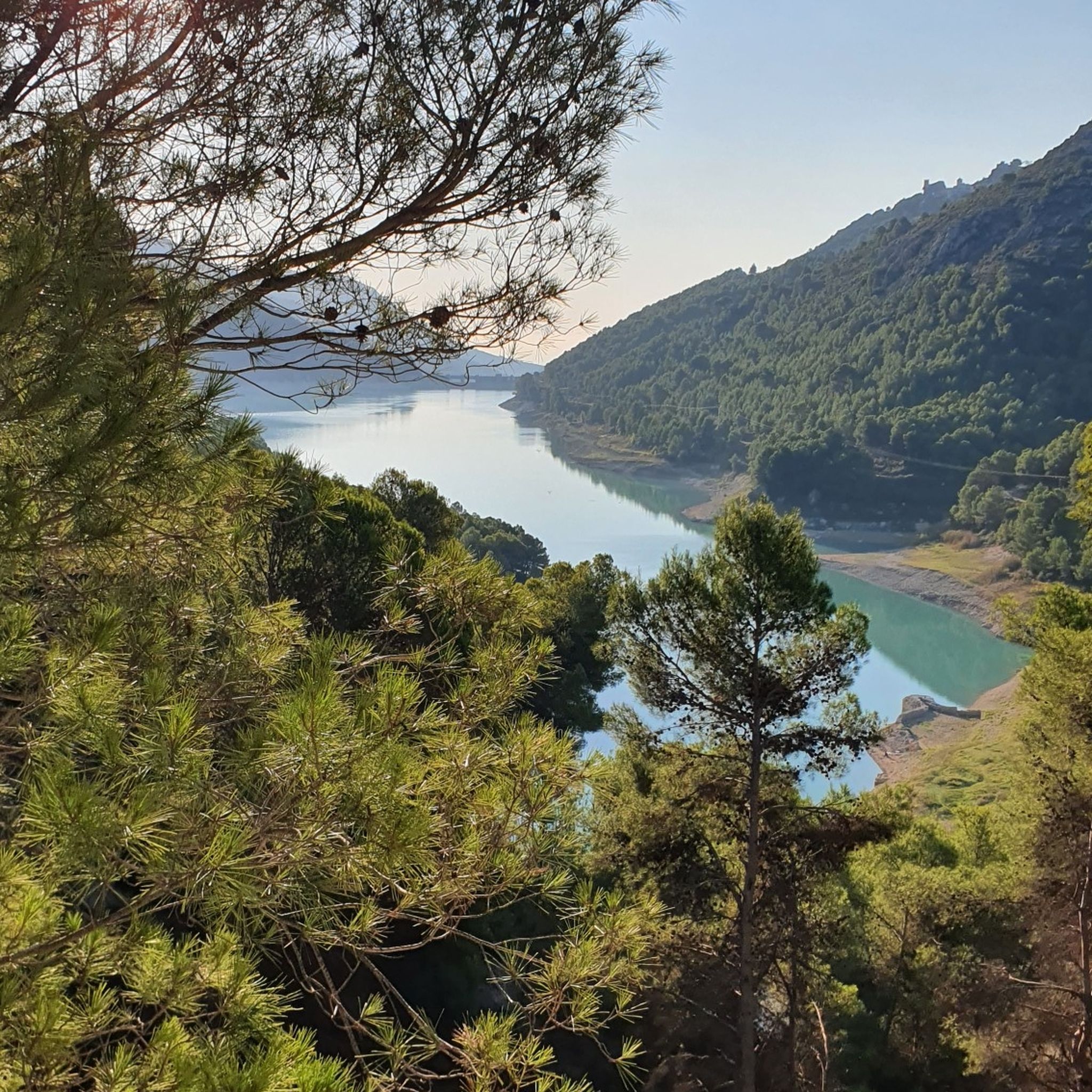
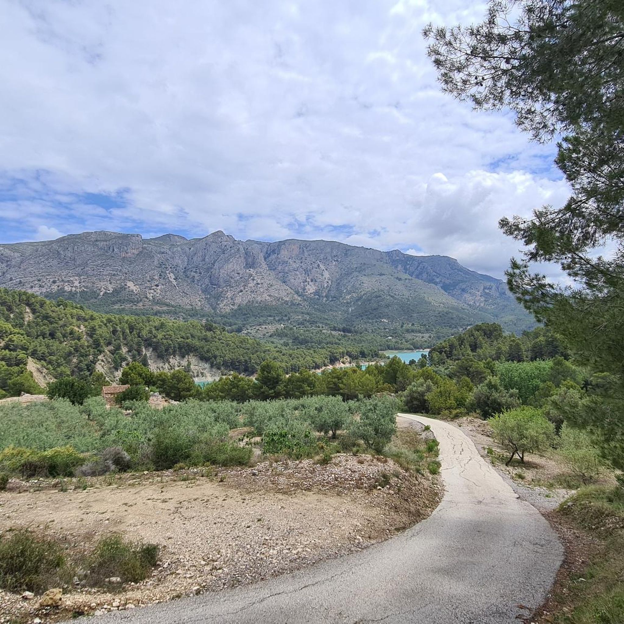
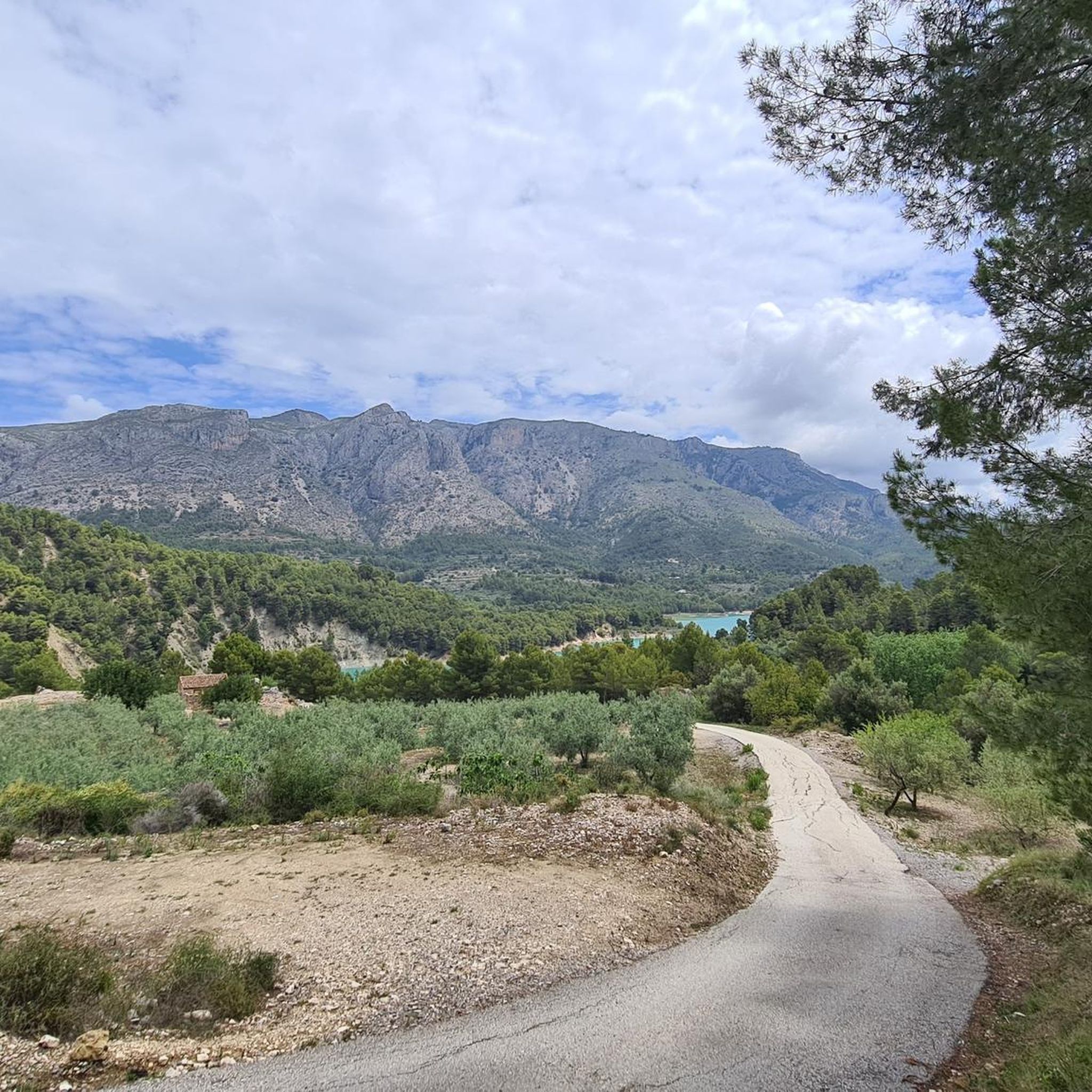
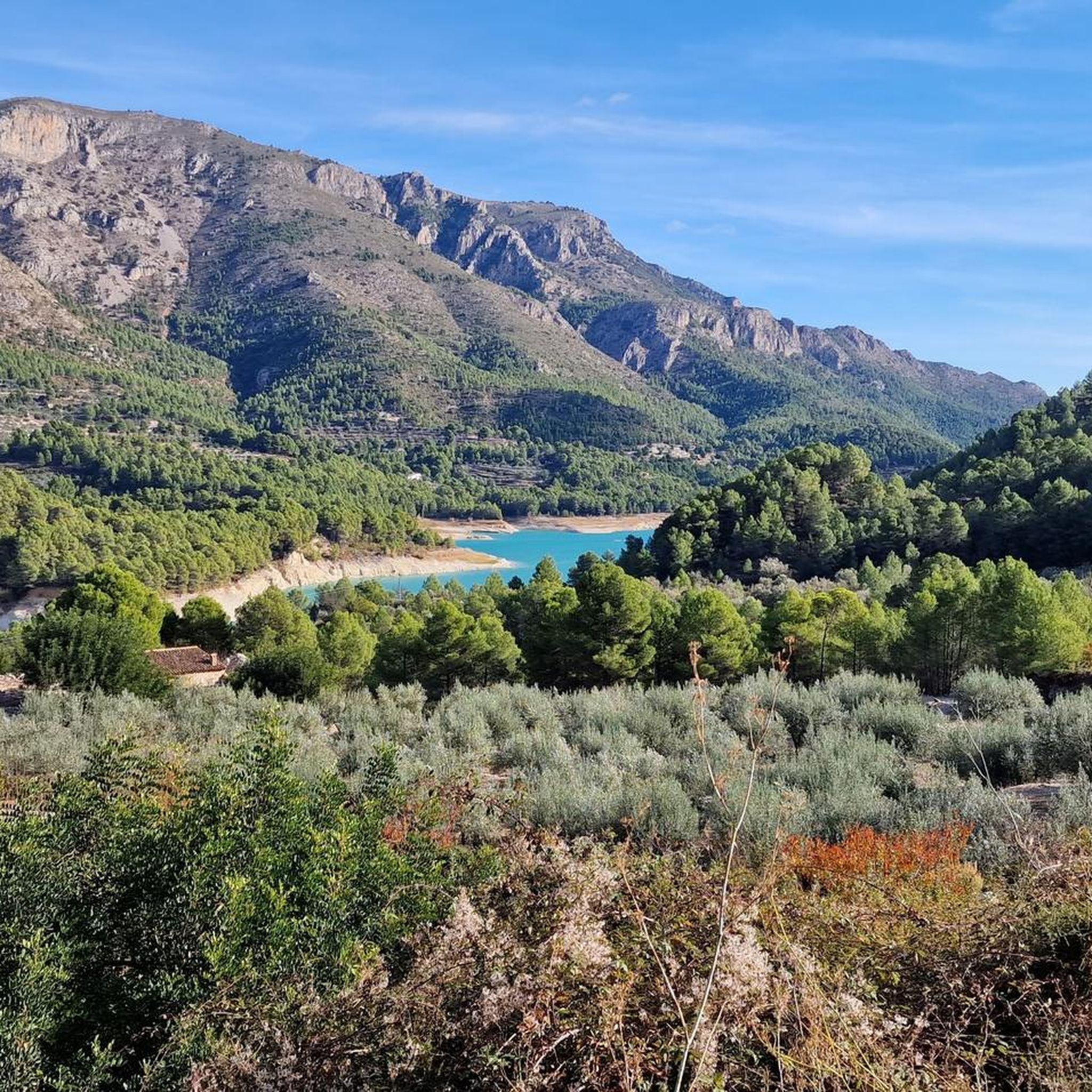

커뮤니티 팁

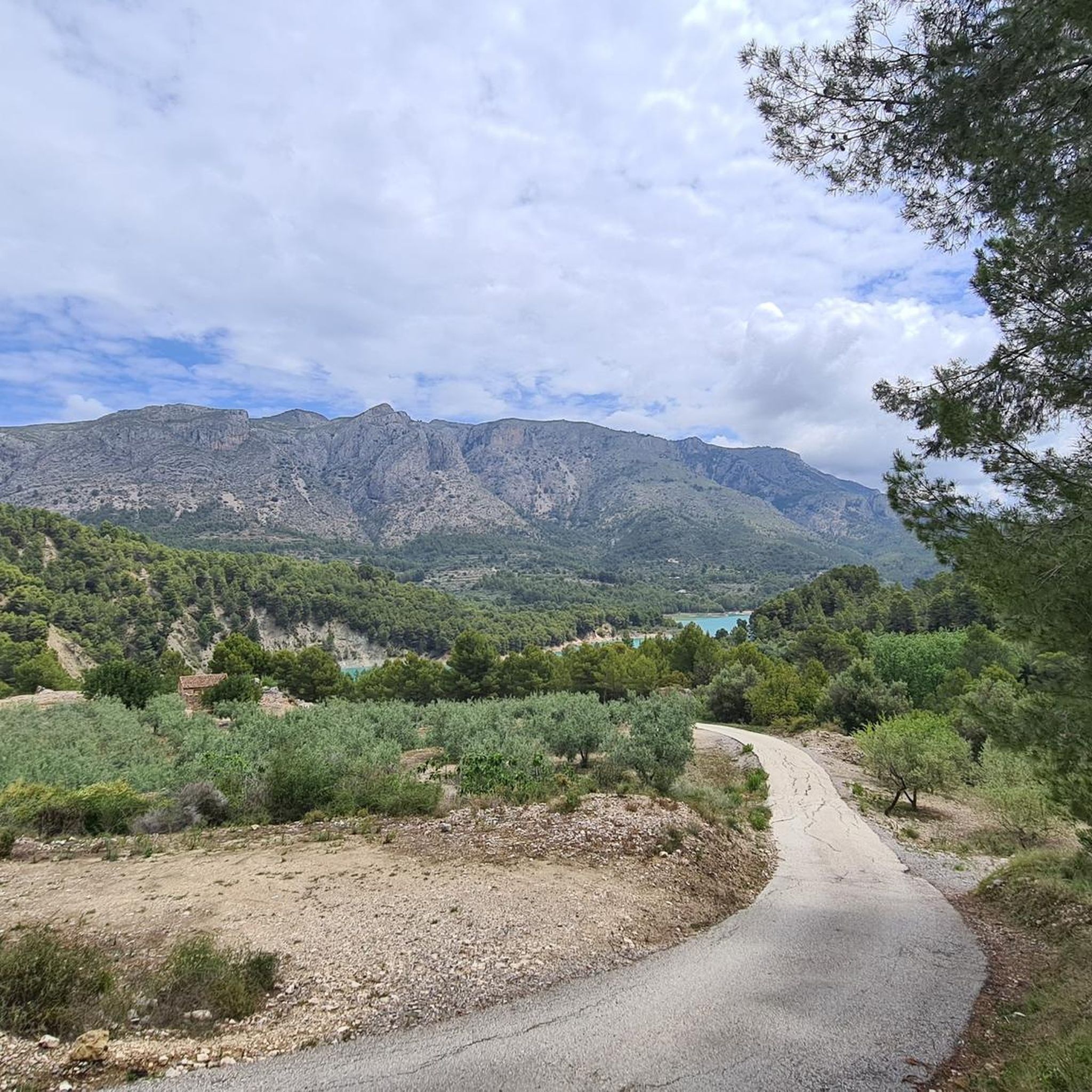
The trail is well marked. It is advisable to use appropriate footwear that supports the ankle well and trekking poles, since there are loose stones. The views of the stone mass are very beautiful.
0
2

Very steep gravel trail with views of a large Rock
0
1

Get to the parking lot early because there is not much space. Great view.
0
1
Past the church you come to the plantations and signposts.
0
0

Both on the way to its top at 1,359 meters above sea level, and once up there, the Recingle offers wonderful views in all directions! The path can be somewhat rocky in parts but in general it does not offer too much technical difficulty and it is an ideal place to test yourself.
2
0
The views offered by the pass are simply amazing. In all directions you will be able to appreciate the valleys of La Marina Alta and Baja and with good visibility you will be able to see the Costa Blanca between Denia and Gandía. A highly recommended site as well as the walk along the Penyal Roig path.
4
0
With its top at 1359 meters above sea level, it offers wonderful views in all directions! The path can be somewhat steep and rocky in some sectors, but in general it does not offer too much technical difficulty and it is an ideal place to watch the sunset, just remember to bring a flashlight to return without problems.
2
1


