20의 라 바로니아 드 리알브가지 명소 & 주요 장소
라 바로니아 드 리알브에는 둘러볼 만한 장소가 많답니다. 하이킹 또는 사이클링을 좋아한다면 라 바로니아 드 리알브에 숨겨진 20
가지 보석을 만날 수 있을 거예요. 이 지역의 주요 명소를 살펴보면서 다음 모험을 계획해보세요.
마지막 업데이트: 10월 11, 2026
Coll de Comiols
하이라이트 • 산악 고개
번역자 Google •
팁에 의해

Coll de Bóixols
하이라이트 • 산악 고개
번역자 Google •
팁에 의해

이런 장소를 발견하려면 지금 가입하세요
최고의 싱글 트랙, 봉우리 및 다양한 흥미로운 야외 장소에 대한 추천을 받아보세요.
클라레트의 버려진 마을
하이라이트 • 정착지
번역자 Google •
팁에 의해
Aguja del Corb와 Ermita de Sant Salvador 유적지
하이라이트 • 역사적 장소
번역자 Google •
팁에 의해
Canal d'Urgell
하이라이트 • 강
번역자 Google •
팁에 의해

무료로 가입하여 라 바로니아 드 리알브 주변의 더 많은 명소를 발견하세요.
이미 komoot 계정이 있나요?
오늘 무료 계정으로 시작하세요
다음 모험이 기다리고 있어요.

라 바로니아 드 리알브 주변의 다른 모험

커뮤니티 팁

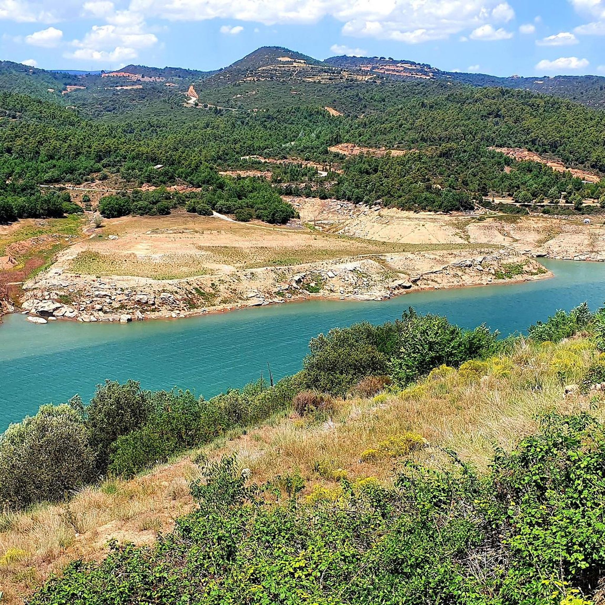
The Canal d'Urgell is a hydraulic infrastructure intended for irrigation, which carries water from the Segre River to the fields of crops in different municipalities in the counties of Urgell, Pla d'Urgell, Noguera, Segrià and Garrigues, with a total irrigated area of about 70,000 hectares and serving about 77,000 inhabitants. This infrastructure is on the left bank of the Segre River. It begins in the Segre River downstream of the town of Ponts and after traveling about 144 km it ends its route in the town of Montoliu de Lleida. Source: Wikipedia.
0
0
Small town located on top of a hill, abandoned, and part of the La Noguera region.
0
0

Next to the Coll d'Ares, it is the most iconic port in the Montsec mountain range and the Lleida Pre-Pyrenees. The views from above, either towards the Pyrenees and the Isona and Tremp valley, as well as the Plana de Lleida, are magnificent. It is a port with 4 aspects, each one different: - The southern slope, which begins in Artesa de Segre, is almost 24 km long and runs along a road with a lot of traffic, very wide and with long straights. After passing the town of Folquer, you face the hardest section of the climb, now with continuous curves and horseshoes, although with a road that is still very wide. The best are the views of the Lleida plain. It is not a side that I like since it is very stinky. - The southeast slope, the one that begins in Pons, is longer than the previous one, with 29 km. It has 2 rest sections, with some descent, and the road is narrow and twisty. There are good views along the climb. This slope joins the southern slope that comes from Artesa de Segre at the height of Folquer, where the hardest 7 km remain until reaching the top of the pass. - The main northern slope begins in Tremp and is 28.2 km. It is similar to the Artesa de Segre slope, with a similar gradient and a wide, busy road with a progressive slope, although it is true that there are no kilometers that reach 7%. I don't like. - The northwest slope, which also begins in Tremp, takes the old road that goes up through the town of Sant Salvador de Toló. It is a climb without traffic, on an irregular asphalt road, one of the old ones, which is grippy and difficult to roll, but in good condition. If you plan to go up to Comiols on the northern slope, you have to do it here and forget about the slope that runs along the main road.
0
0


The Coll de Comiols is a hill located at 1101 meters high. It acts as the border of several municipalities in the Pallars Jussà region. It offers magnificent views of the surrounding mountains and the Cuenca de Tremp.
0
0

Ideal place for cyclists. We can enjoy an incredible landscape and views throughout the climb to the pass. Located at a height of 1,321 metres, in the Catalan pre-Pyrenees, it joins the counties of Pallars Jussà and Alt Urgell.
0
0
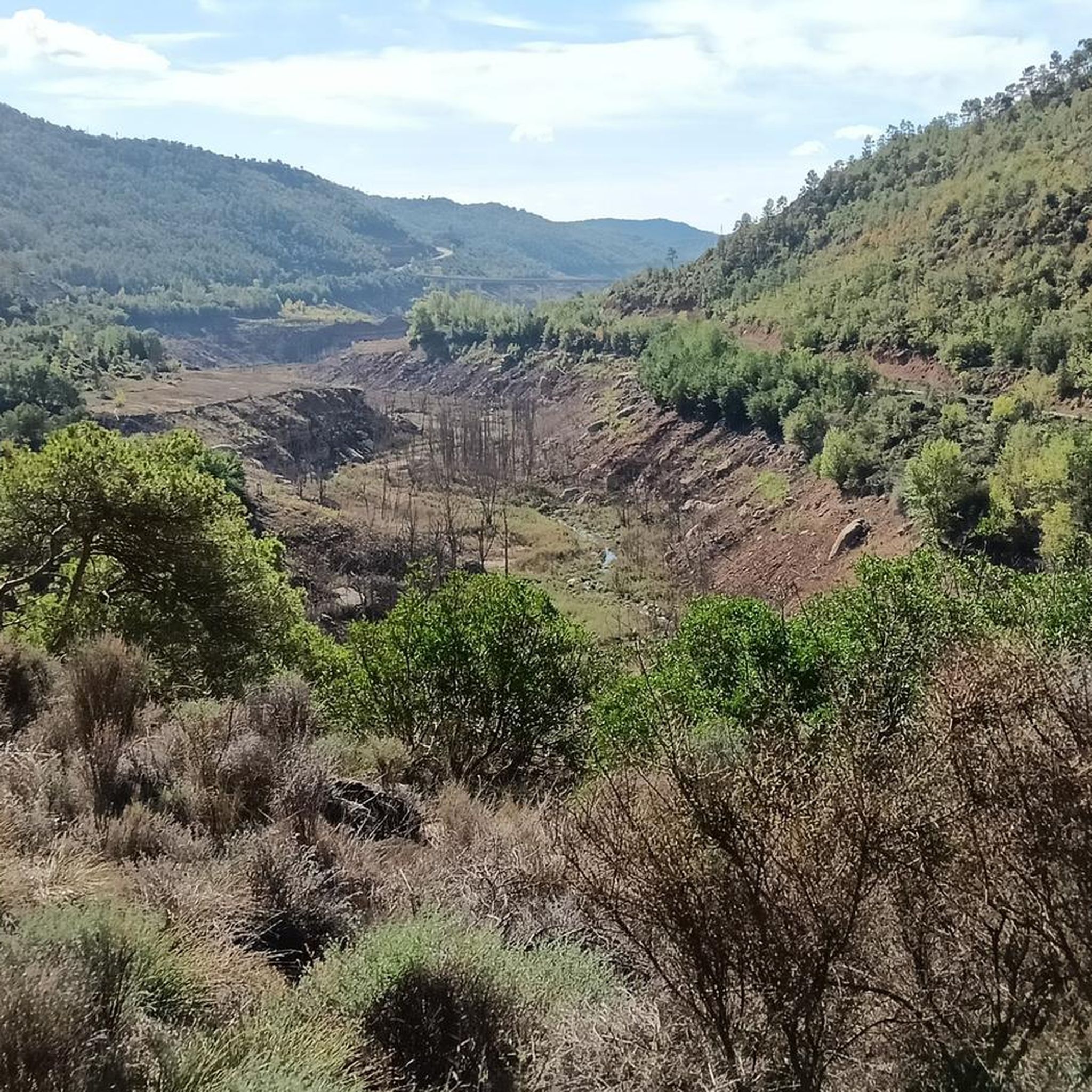
Within the municipality of Oliola, we find this abandoned town, on top of a small hill. Much of the town is already in ruins. There is a church dedicated to the Madre de Dios del Carme.
2
0
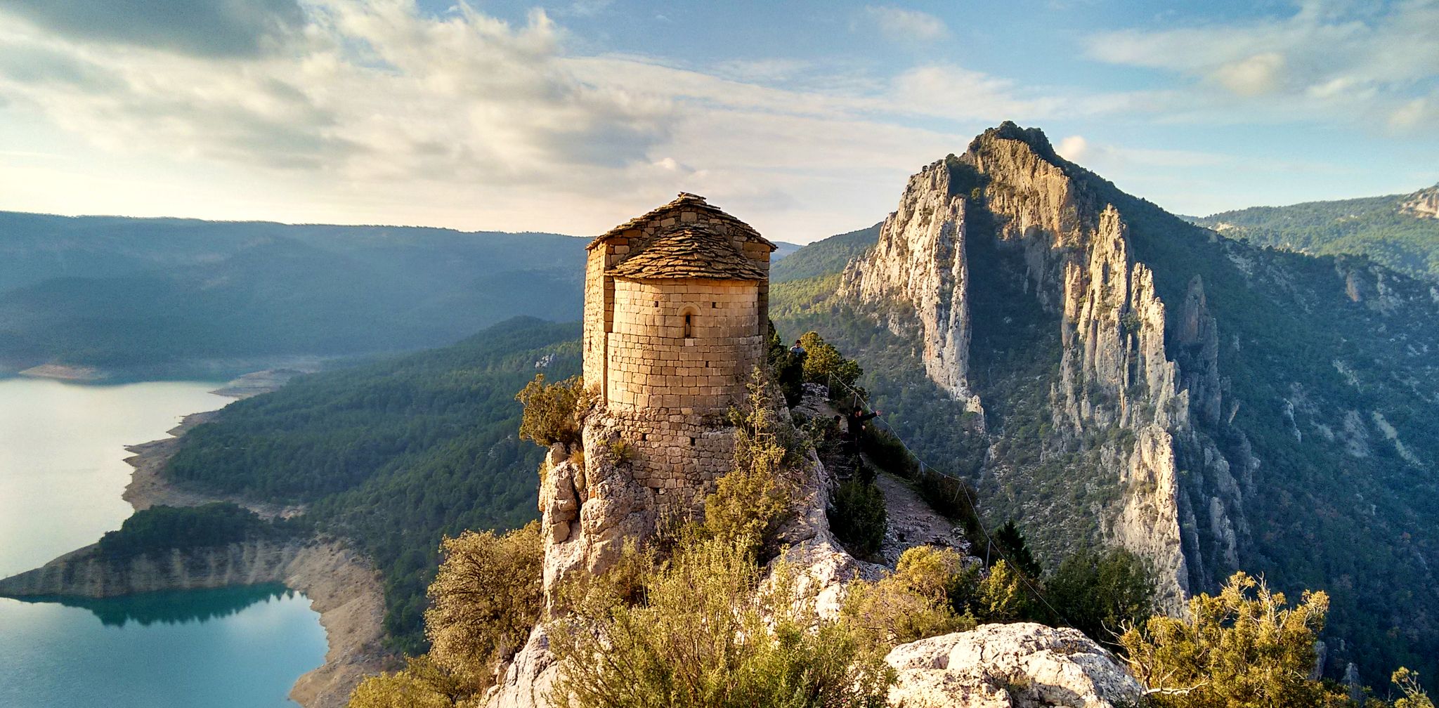
Collado where we can find the ruins of the hermitage of San Salvador. Romanesque hermitage built well into the 11th century on a surprising site.
1
0
라 바로니아 드 리알브 주변에서 가장 인기 있는 명소


더 살펴보기
찾고 있는 하이라이트를 아직 못 찾으셨나요? 다른 지역의 주요 명소 가이드를 확인해보세요:
