트리올로에서 가장 멋진 13개의 산 정상
트리올로의 산 정상에 오르면 이 지역의 아름다운 모습을 제대로 구경할 수 있어요. 다만, 13
곳이나 되는 산 정상 중에서 어떤 곳을 가야 할 지 고민된다는 게 문제죠. 트리올로에서 가장 멋진 산 정상을 살펴본 후에 마음에 드는 산 정상을 다음 모험 계획에 추가해보세요.
마지막 업데이트: 9월 5, 2026
Curavacas (2524m)
하이라이트 • 정상
번역자 Google •
팁에 의해

에스피구에테 정상 (2454m)
하이라이트 • 정상
번역자 Google •
팁에 의해
이런 장소를 발견하려면 지금 가입하세요
최고의 싱글 트랙, 봉우리 및 다양한 흥미로운 야외 장소에 대한 추천을 받아보세요.
Pico del Fraile (2,001m)
하이라이트 • 정상
번역자 Google •
팁에 의해

페냐 프리에타 정상
하이라이트 • 정상
번역자 Google •
팁에 의해
알토 델 쿠빌 델 칸
하이라이트 • 정상
번역자 Google •
팁에 의해

무료로 가입하여 트리올로 주변의 더 많은 봉우리를 발견하세요.
이미 komoot 계정이 있나요?
오늘 무료 계정으로 시작하세요
다음 모험이 기다리고 있어요.
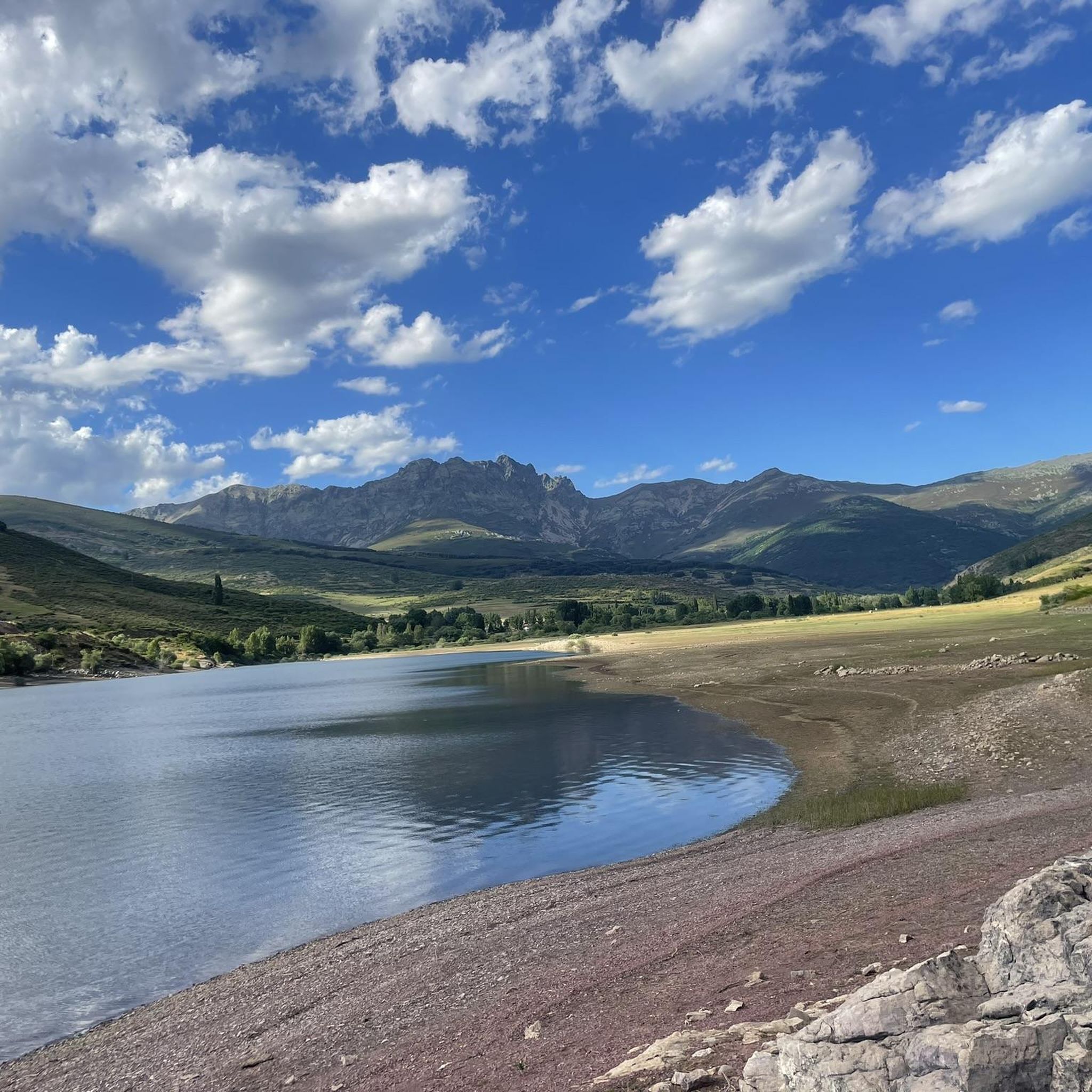
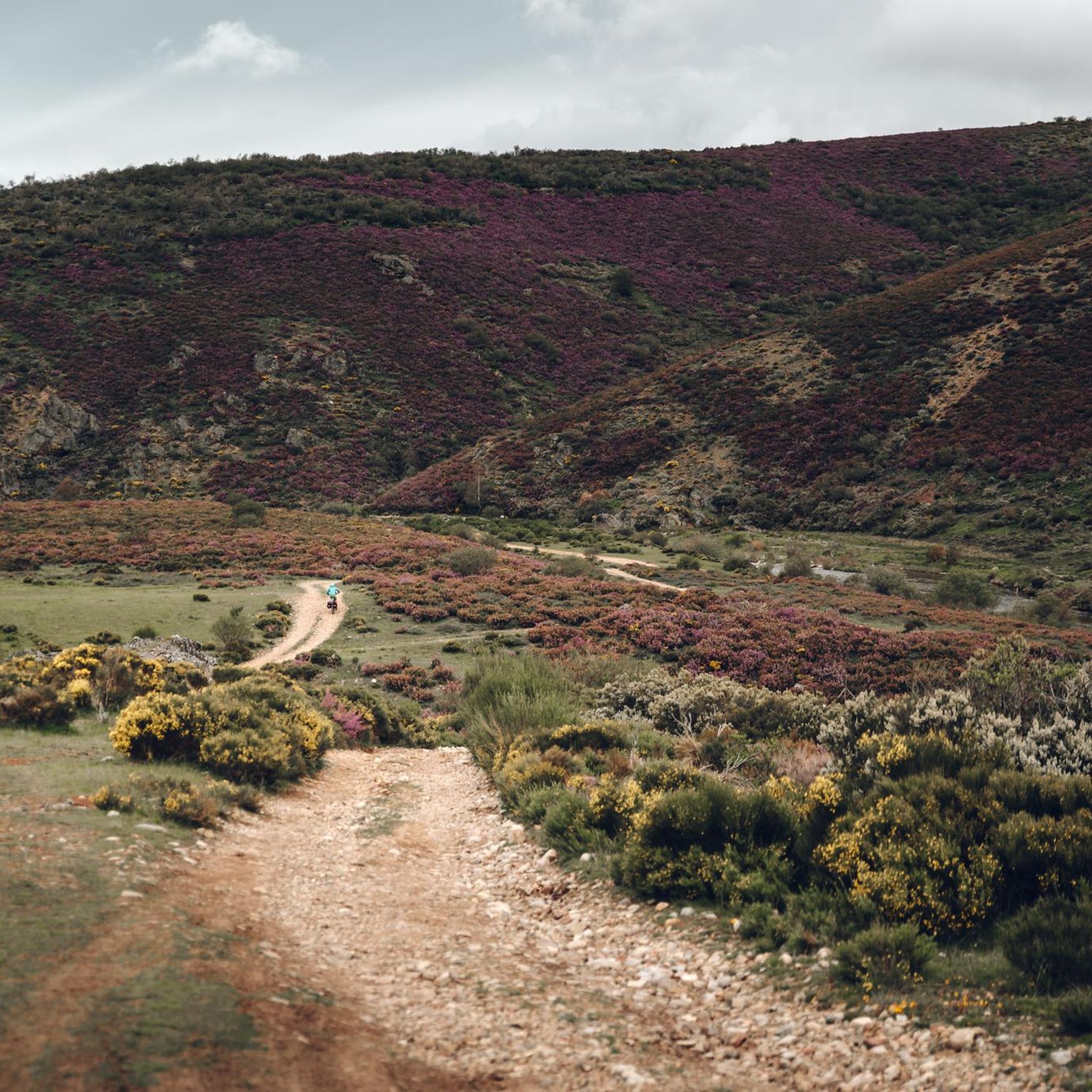
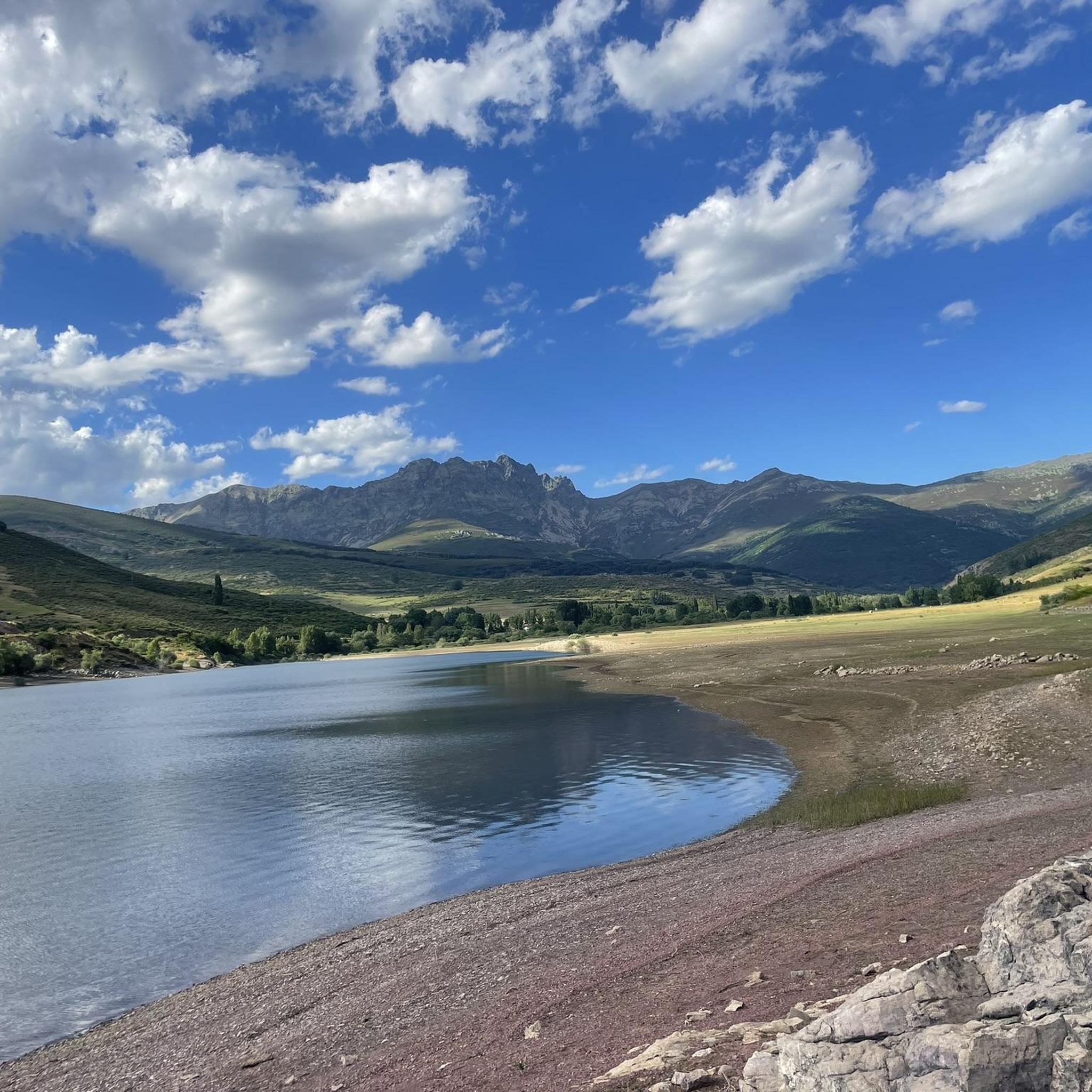
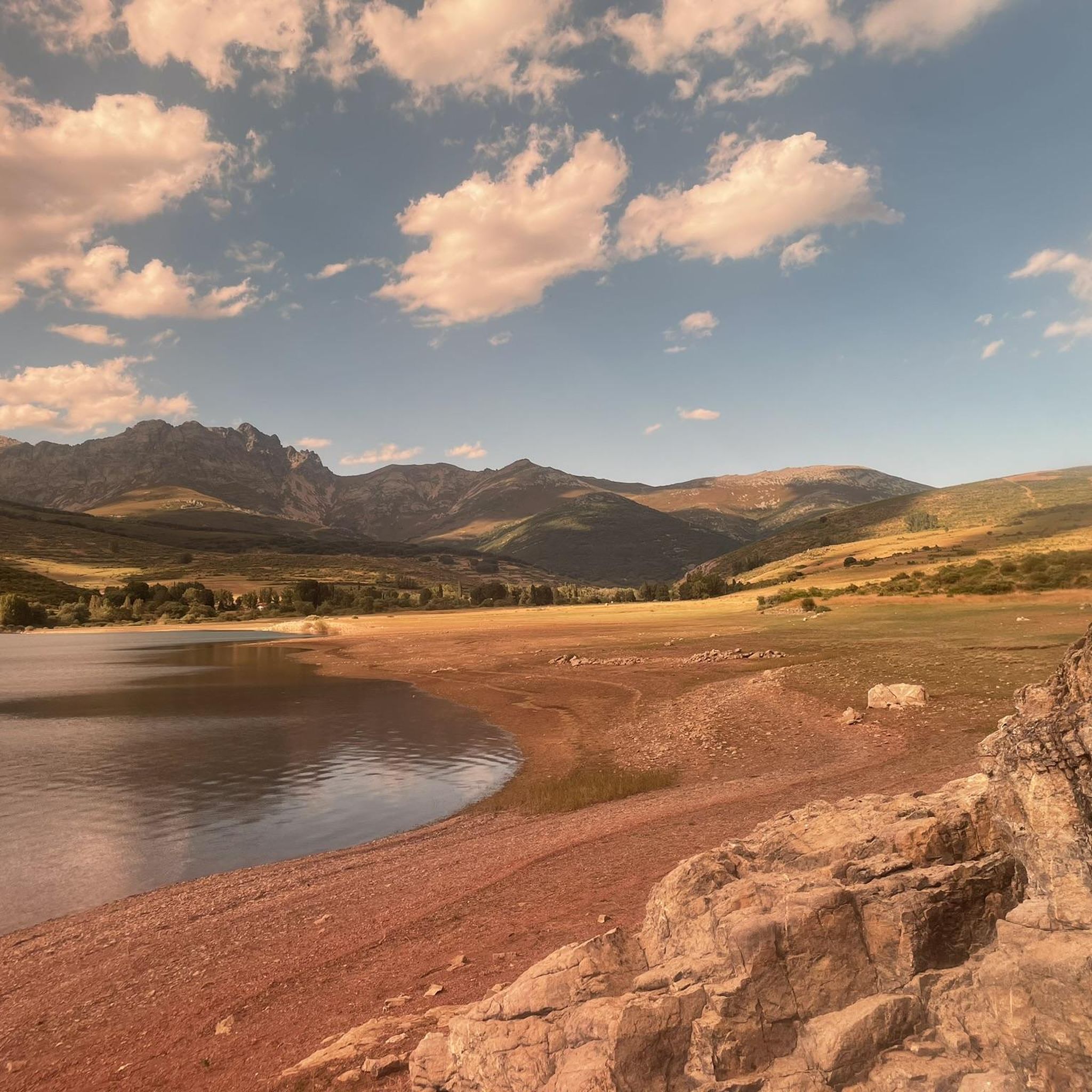
커뮤니티 팁

Climbing Curavacas is an exciting experience for mountain lovers. There are several routes available, such as Callejo Grande and Senda del Notario, which offer different levels of difficulty. In addition, in the area you can find glacial lagoons, such as Pozo Curavacas and Pozos del Ves, which add a special touch to the landscape.
5
0

The mountain journey enters a comfortable and quiet section on the western slope of Alto del Naranjo, passes through the extensive Robadorio hill and heads directly along the ridge towards the northern spur of Alto del Cubil del Can, the key pass of the route. Under normal conditions, without ice or snow on the mountain, it is an atmospheric ascent along the side cliffs and quite steep, but it does not present technical difficulties, except for a climb (II) at the end of about three meters to crown the spur. The path climbs through the shade of the mountain range and in winter it usually has sections of hard snow or ice. It is important to assess the conditions before starting the ascent and always carry crampons and ice axe. In the channel located on the left side of the climb there is a corridor (45/50 degrees) which is an interesting option when the mountain is covered in snow, sometimes you may need two ice axes. The entrance is in a gap in the rope about ten meters before reaching the climbing step. In case of doubt, it is advisable to go up along the shoulder of the normal route. The climb ends on the northern shoulder of the summit of Alto del Cubil del Can (2,420 m) and continues on comfortable and safe terrain towards the Tres Provincias peak.
0
0

Second highest summit of the Cantabrian mountain range and the highest in the province of Palencia. It offers impressive views of the famous Curavacas Well, the Curruquilla peak and many other emblems of the province.
1
1
Palencia summit located in the town of Cardaño de Abajo which can be ascended by several routes, although several of them present a fairly high technical difficulty.
1
1
Highest summit of the Sierra del Brezo with spectacular panoramic views of the Palencia Mountain.
1
1
It is the highest peak of the Fuentes Carrionas massif, in the Cantabrian mountain range. Unlike its neighboring peak, the Peña del Infierno, which is located in the province of Palencia, the summit of Peña Prieta is Cantabrian.
3
0

Climbing the east ridge is very demanding. Going down the north slope requires a lot of attention to avoid falls.
1
0
The Curavacas peak (2,524 masl) located in the Fuentes Carrionas massif is considered the highest elevation of the Palencia Mountain.
4
0
트리올로 주변에서 가장 인기 있는 명소


더 살펴보기
이 가이드를 통해 트리올로 주변의 더 놀라운 정상들을 확인해보세요:
