라마손 최고의 MTB 라이딩 경로
4.7
(14)
192
자전거 타는 사람
25
라이딩
라마손에 있는 멋진 산악자전거 라이딩 경로를 따라 어디로 가 볼까요? 라마손에 있는 MTB 경로 컬렉션 중에서 가장 멋진 장소를 아래에서 살펴보세요.
마지막 업데이트: 9월 21, 2026
2
자전거 타는 사람
36.5km
04:53
1,830m
1,830m
This difficult 22.7-mile mountain biking loop in Picos de Europa National Park offers extreme terrain, technical features, and stunning view
5.0
(1)
23
자전거 타는 사람
29.2km
02:25
660m
660m
보통 산악 자전거 타기. 좋은 체력 필요. 실력과 관계없이 누구나 갈 수 있음.

23
자전거 타는 사람
45.1km
04:11
1,200m
1,200m
어려운 산악 자전거 타기. 우수한 체력 필요. 실력과 관계없이 누구나 갈 수 있음.
8
자전거 타는 사람
50.0km
05:12
1,630m
1,630m
어려운 산악 자전거 타기. 우수한 체력 필요. 실력과 관계없이 누구나 갈 수 있음.
5.0
(1)
9
자전거 타는 사람
31.6km
03:06
980m
980m
어려운 산악 자전거 타기. 우수한 체력 필요. 실력과 관계없이 누구나 갈 수 있음.
더 다양한 경로와 다른 탐험가들의 추천을 살펴보세요.
이미 komoot 계정이 있나요?
투어 추천은 다른 사람들이 komoot에서 완료한 수천 개의 활동을 바탕으로 구성되어 있습니다.
오늘 무료 계정으로 시작하세요
다음 모험이 기다리고 있어요.
라마손 주변 인기 장소
커뮤니티 팁


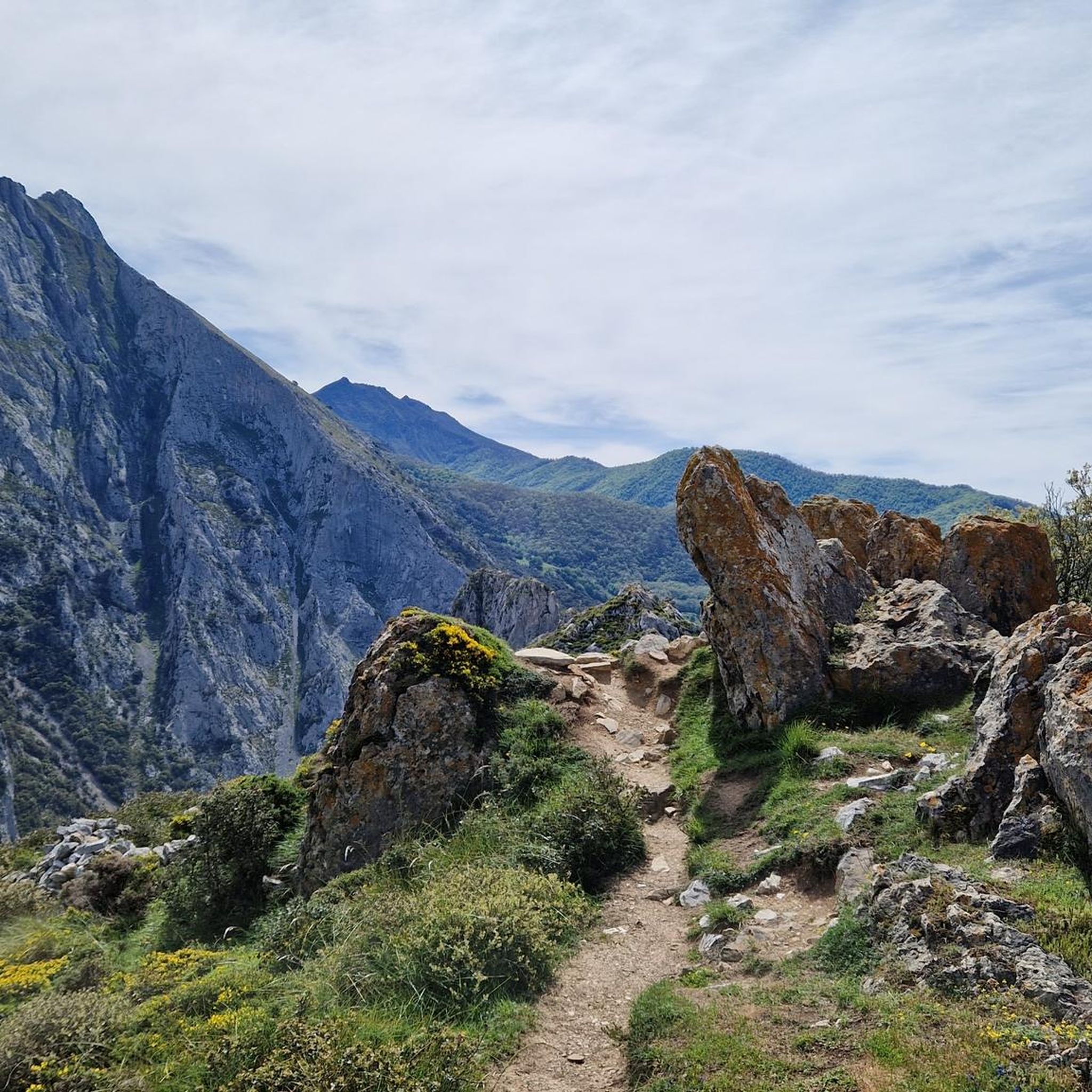
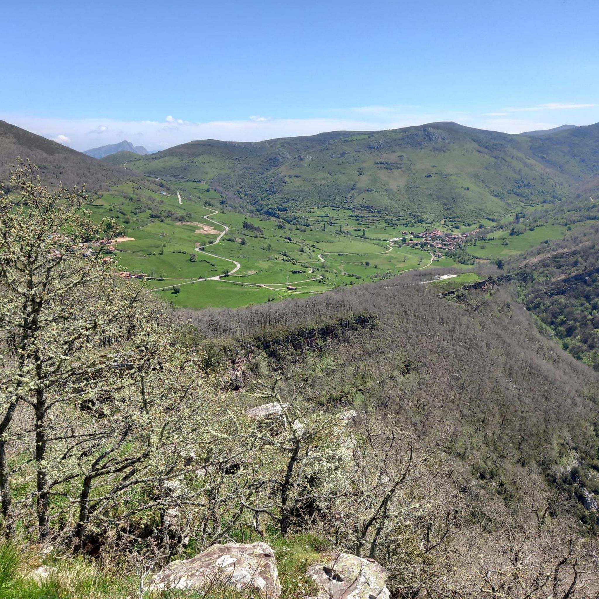
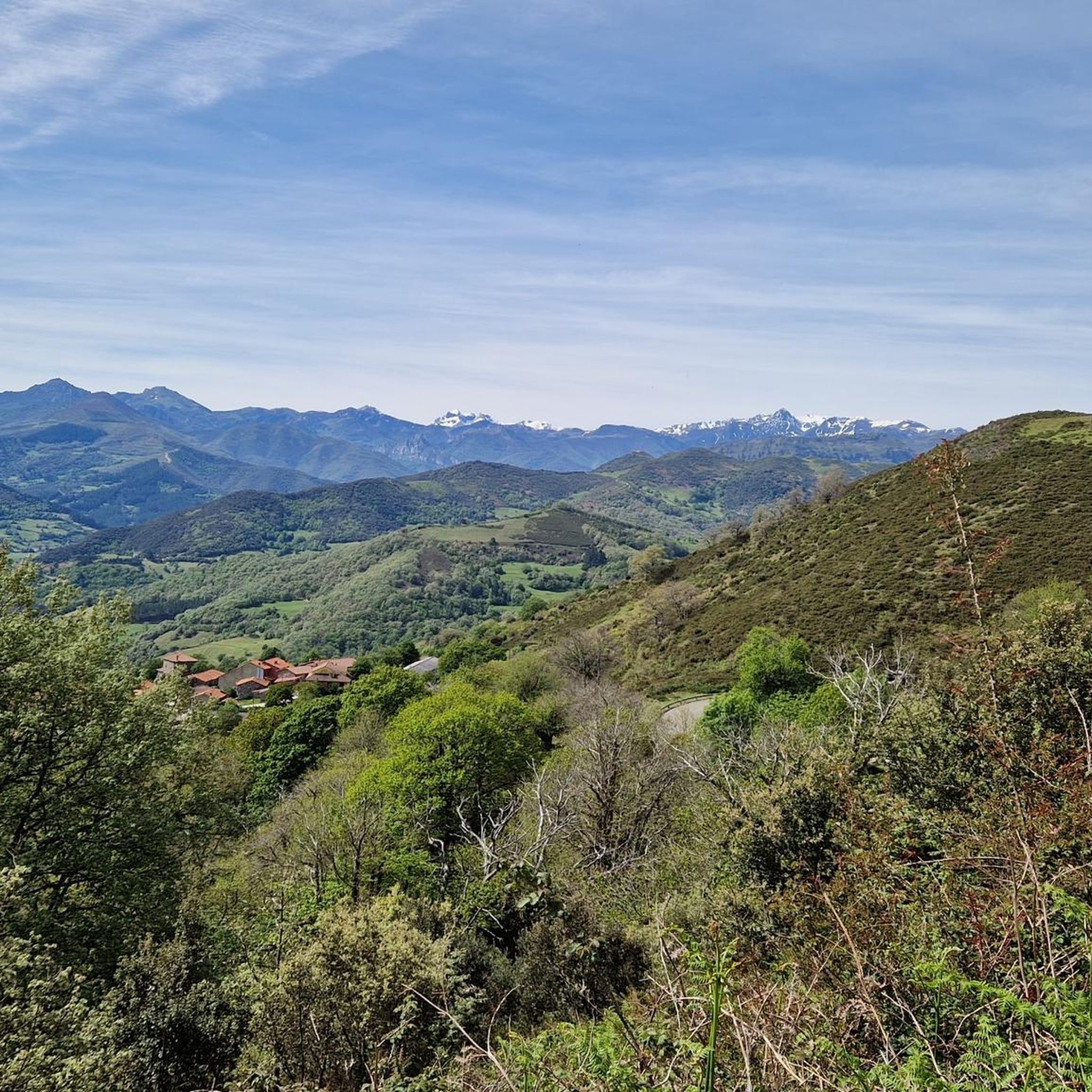
The Zarceillo, at 905 metres above sea level, is an excellent viewing point over the Cantabrian valleys of Cabuérniga, the Sierra del Escudo de Cabuérniga, Picos de Europa, etc. Halfway up, you can also climb the Matamiguela, which is at a lower altitude. At the top there is a hut with a repeater.
0
0
The Monte Aa Pass is a very beautiful climb with spectacular landscapes. The pass is located on the mountain that separates Carmona from Ruente. Along the route we will find different trees catalogued within the Inventory of Singular Trees of Cantabria. These are spectacular specimens of oak and beech. The Monte Aa forest is made up of a mature oak forest dominated by oaks. To a lesser extent, there are beeches, sessile oaks and oaks. The abundance of holly trees is remarkable. As for the fauna that inhabits it, birds such as the goshawk, the sparrowhawk, the black kite, the common buzzard, the common kestrel, the woodpecker and other forest birds stand out. Mammals such as the roe deer, the deer or the badger and carnivores such as the marten or the polecat.
2
0
The climb to Negreo along the southern slopes of Renedo and Moscadoriu, due to its length, is not one of the longest, it is only 6 kilometres but in two sections, each one stickier than the other, the first 3 kilometres with very hard concrete ramps with a gradient of up to 18-20% that make the bike rise more than expected and the last three kilometres with a lesser gradient but on more technical and broken terrain.
0
0

Incredible views of the Hermida gorge.
1
0

Just as you’re about to pull into Potes there’s a great little platform that looks over the town and the mountain range behind it. They’ve installed a mount for phones so you can easily nab a selfie! Potes in general has a few of these mounts around for great photos — keep an eye out!
0
0

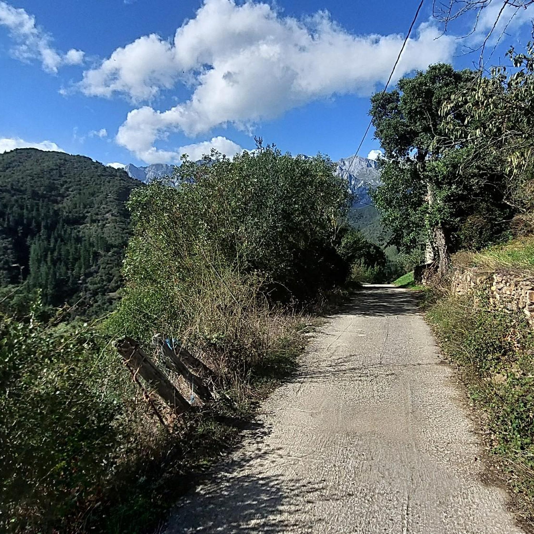
the higher paths have gravel and are sometimes stony, great for a mountain bike
11
0
most lower paths have a layer of ribbed concrete because of the slope.
11
0
라마손 주변에서 가장 인기 있는 경로
라마손 주변에서 가장 인기 있는 명소


더 살펴보기
다른 지역의 최고의 MTB 트레일를 살펴보세요.
