20의 마엘라가지 명소 & 주요 장소
마엘라에는 둘러볼 만한 장소가 많답니다. 하이킹 또는 사이클링을 좋아한다면 마엘라에 숨겨진 20
가지 보석을 만날 수 있을 거예요. 이 지역의 주요 명소를 살펴보면서 다음 모험을 계획해보세요.
마지막 업데이트: 10월 10, 2026
Valdealgorfa
하이라이트 • 트레일
40.2 kilometers. 320 positive meters.
The end of the bikepacking trip has a magnificent closure. The route leaves the Horta de Sant Joan station, …
번역자 Google •
팁에 의해


이런 장소를 발견하려면 지금 가입하세요
최고의 싱글 트랙, 봉우리 및 다양한 흥미로운 야외 장소에 대한 추천을 받아보세요.

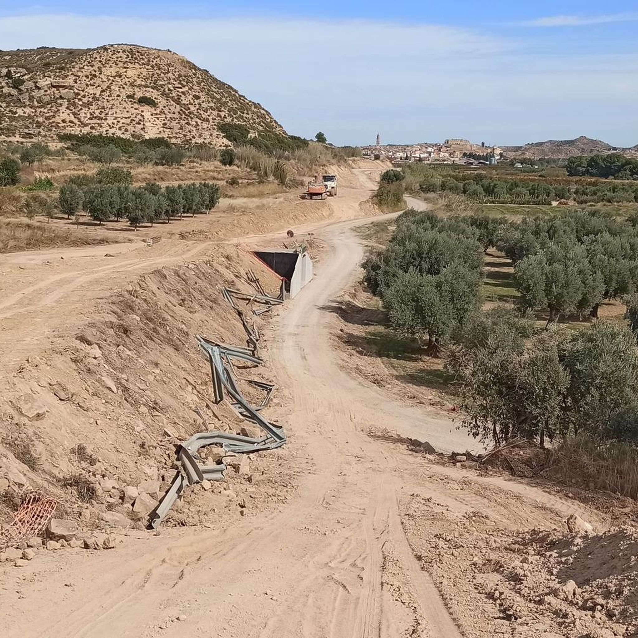
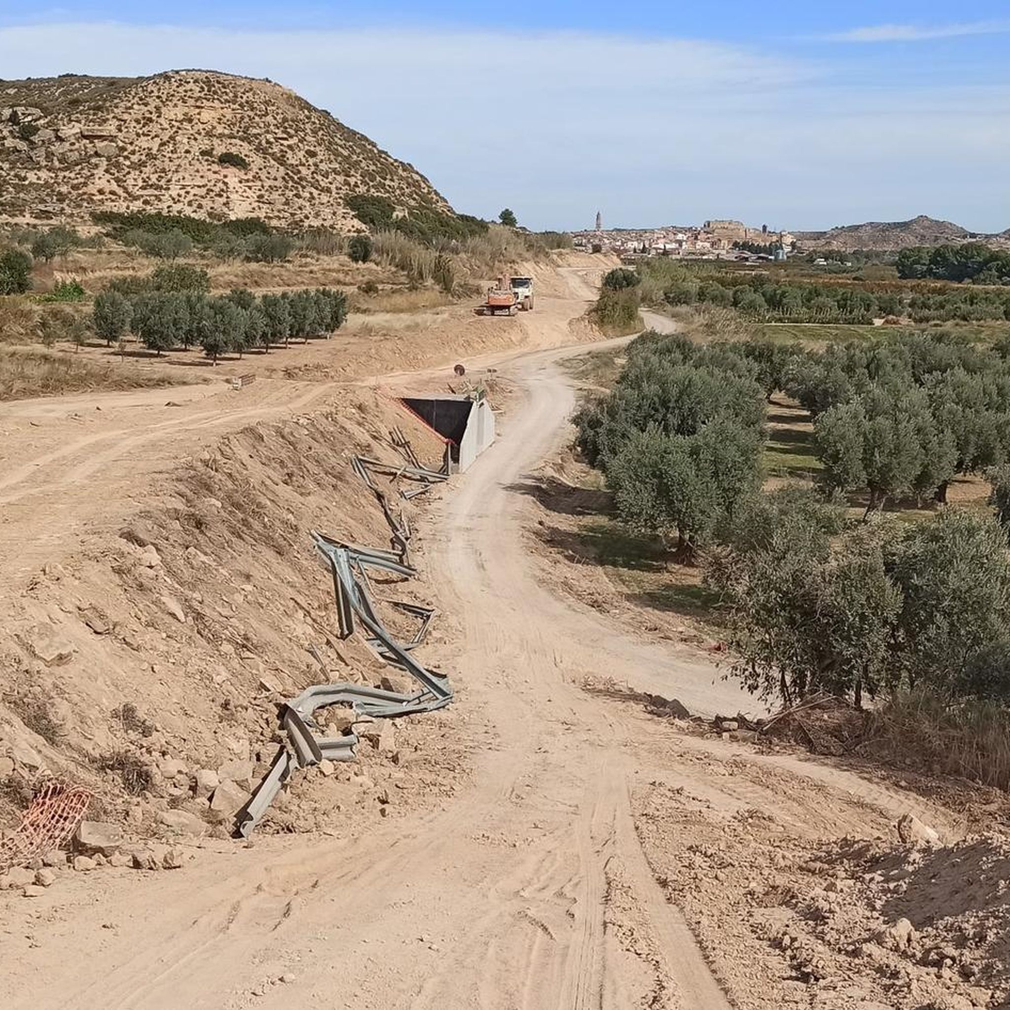
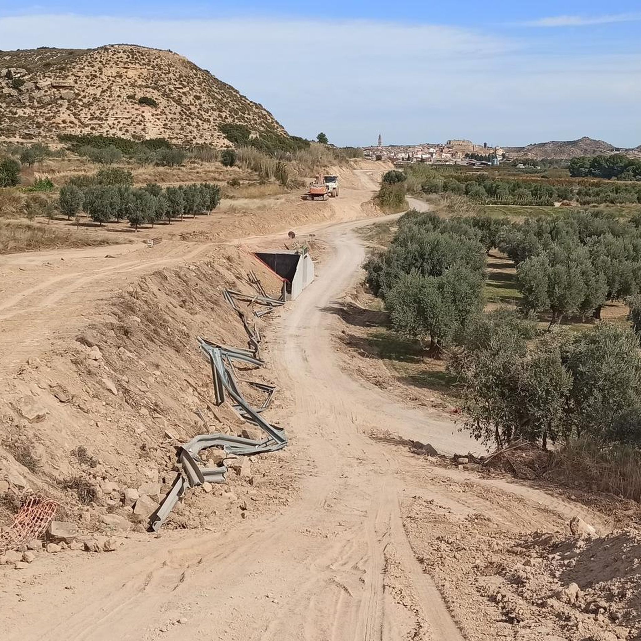
폐쇄된 발훈케라 기차역
하이라이트 • 기념물
번역자 Google •
팁에 의해

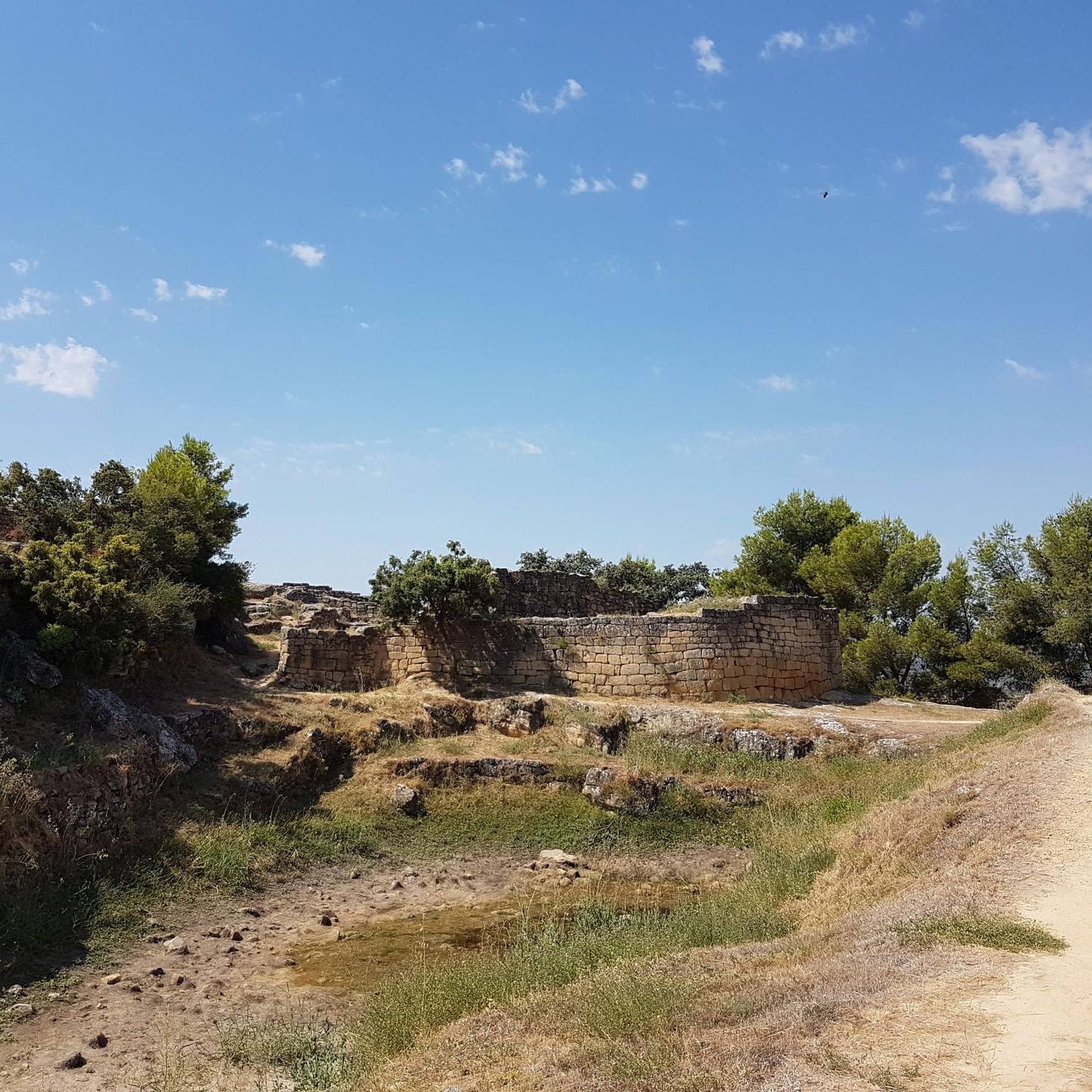
산 안토니오 이베리아 유적지
하이라이트 • 역사적 장소
번역자 Google •
팁에 의해

무료로 가입하여 마엘라 주변의 더 많은 명소를 발견하세요.
이미 komoot 계정이 있나요?
오늘 무료 계정으로 시작하세요
다음 모험이 기다리고 있어요.


커뮤니티 팁


Stage 4. Horta de Sant Joan/Valdealgorfa 40.2 kilometers. 320 positive meters. The end of the bikepacking trip has a magnificent closure. The route leaves the Horta de Sant Joan station, passes through one of the last tunnels on the way and the Algars River Viaduct appears, impressive, 170 meters long and four large arches 20 meters high. At the bridge you cross the Matarraña-Algars Natural Trail. The path advances through a landscape of crops, vines and scrubland until the Cretas station. The town leaves the mountains on the right and the route runs along the highest section of the old railway route, at the old Valderrobres station. The descent through the Canaleta valley is fantastic, the bikes launch at full speed towards the plain of the Matarraña river. On some hills to the left, the silhouette of the Torre del Compte houses appears attached to the crest of a lookout hill, like most of the towns in the region. The path passes through the old station, converted into a rural hotel, and crosses the Matarraña viaduct, 275 meters long, one of the great works of the railway. The meadow is a beautiful agricultural area of impeccable crops, adapted to the soil and relief of the valley. The Matarraña River marks the end of the mountain landscapes. The road passes through a new curved tunnel and immediately the Valdeltorno station appears, where the detour to the Matarraña Natural Path that we used three days before in the first stage towards Fayón departs. Now the route continues straight on through familiar terrain, it crosses the straight that goes up to the attractive Valjunquera station and shortly after the decisive moment of the stage arrives. On the first day of the trip we leave the Equinox Tunnel for the return and it is time to face the experience. The milestones of the Natural Trail indicate the route outside the tunnel for safety, since it is not conditioned or maintained, landslides and waterlogged sections may appear, the ground is stony and it is easy to suffer incidents, it is a 2.4 kilometer journey of darkness and It is the responsibility of each person to make the decision to travel through the old railway tunnel. In our case we asked in the town and at that time it was in acceptable condition. And we chose the direction from east to west so that it was downhill because there is a 60 meter difference in altitude. The surface has sections with quite a few stones and you have to hone in on the gravel to avoid skidding, it is a matter of patience, good light and skill. The exit hole grows little by little and finally the fence installed at the mouth of the tunnel appears to control the passage and a few meters later the Valdealgorfa station, the end of a new and intense bikepacking adventure.
0
0

It is mandatory to use lights inside the tunnel. Not only to see the way, but also to be seen. It's exciting to think that these structures were built for train use only.
0
0

A fantastic iberian town. Its access is easy by car. Inside the complex, you are well guided by indications, you can perfectly see the ancient walls and structures. Including a large pool.
1
1
Iberian town that tops a hill. This is the one closest to Calaceite of many others found in the region. Surrounding hermitage. Good views over Calaceite and the region! Paved or more natural access roads, with direct connection to the town. Relevant tilt! A "must see" in Calaceite.
1
1

Iberian town that is located to the south of the Calaceite center and that is on the high part of a hill, like all the Iberian towns of the peninsula. You can also find the Hermitage of San Antonio Abad, built later.
1
0

It is essential to bring light, it is totally dark. It has some doors, it may be closed at some point.
1
1

The station is in a spectacular location and relatively well preserved. Very easy access from the N-420 at the junction to go to Valljunquera. Ideal for walking along the greenway or for cycling along the route.
3
1


더 살펴보기
찾고 있는 하이라이트를 아직 못 찾으셨나요? 다른 지역의 주요 명소 가이드를 확인해보세요:
