라 리에라 데 가이아 최고의 러닝 경로
4.1
(151)
9,272
달리기 하는 사람
291
러닝
라 리에라 데 가이아에서 하이킹하며 타라곤 구석 부분까지 살펴볼까요? 라 리에라 데 가이아에 있는 모든 하이킹 및 워킹 경로 컬렉션 중 가장 멋진 하이킹 경로를 엄선하여 소개해드릴게요. 다른 하이커가 공유한 실제 팁과 사진을 살펴보고 후기를 읽으며 마음에 드는 라 리에라 데 가이아 워킹 경로를 찾아보세요.
마지막 업데이트: 8월 28, 2026
50
달리기 하는 사람
21.0km
02:38
470m
470m
어려운 조깅. 우수한 체력 필요. 대부분 포장된 지면. 실력과 관계없이 누구나 갈 수 있음.
4.0
(4)
47
달리기 하는 사람
10.6km
01:19
140m
140m
보통 조깅. 좋은 체력 필요. 대부분 포장된 지면. 실력과 관계없이 누구나 갈 수 있음.

무료 회원 가입
33
달리기 하는 사람
8.37km
01:02
140m
140m
보통 조깅. 좋은 체력 필요. 대부분 포장된 지면. 실력과 관계없이 누구나 갈 수 있음.
27
달리기 하는 사람
8.89km
01:03
30m
30m
보통 조깅. 좋은 체력 필요. 대부분 포장된 지면. 실력과 관계없이 누구나 갈 수 있음.
15
달리기 하는 사람
10.2km
01:11
100m
100m
보통 조깅. 좋은 체력 필요. 대부분 포장된 지면. 실력과 관계없이 누구나 갈 수 있음.
더 다양한 경로와 다른 탐험가들의 추천을 살펴보세요.
무료 회원 가입
이미 komoot 계정이 있나요?
투어 추천은 다른 사람들이 komoot에서 완료한 수천 개의 활동을 바탕으로 구성되어 있습니다.
오늘 무료 계정으로 시작하세요
다음 모험이 기다리고 있어요.
로그인 또는 가입하기
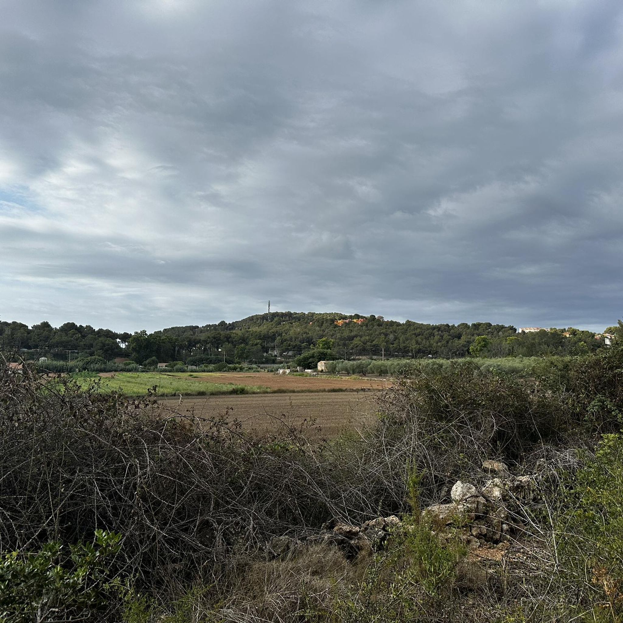
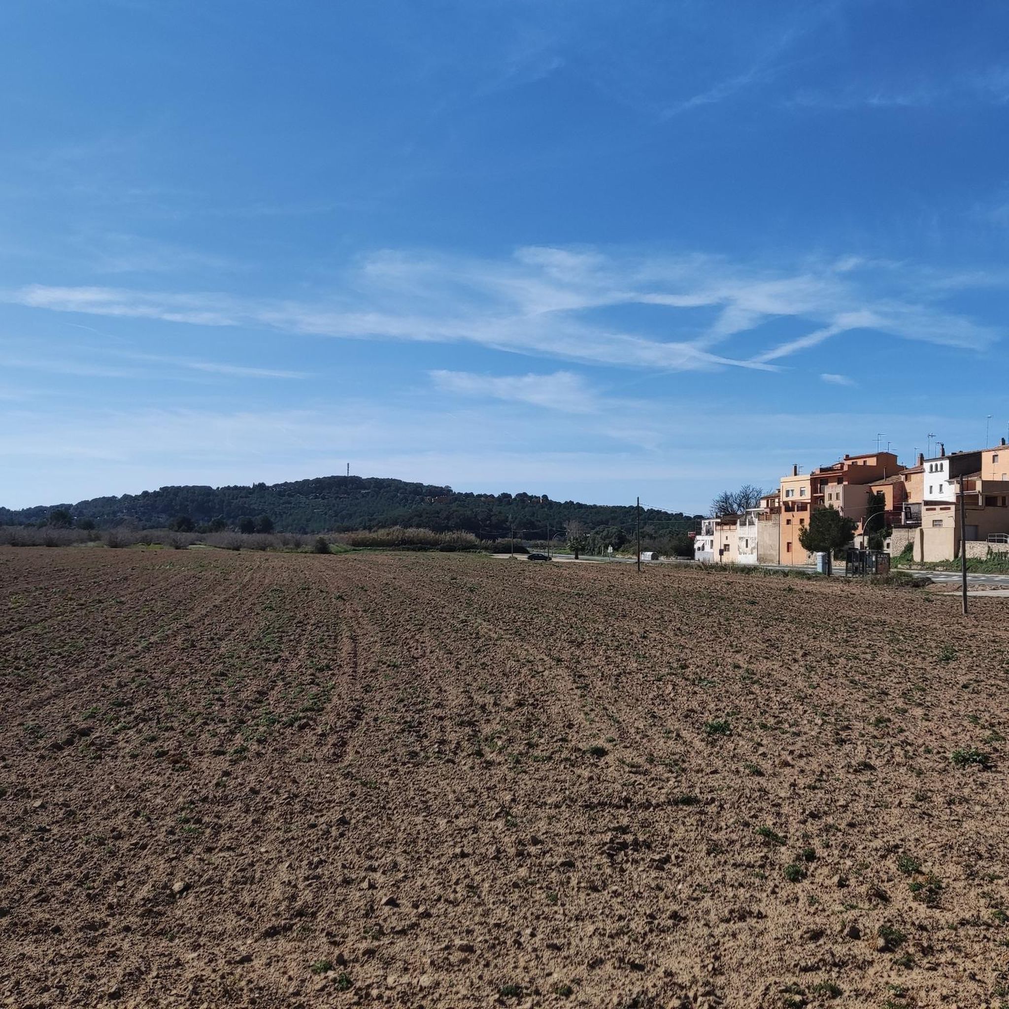
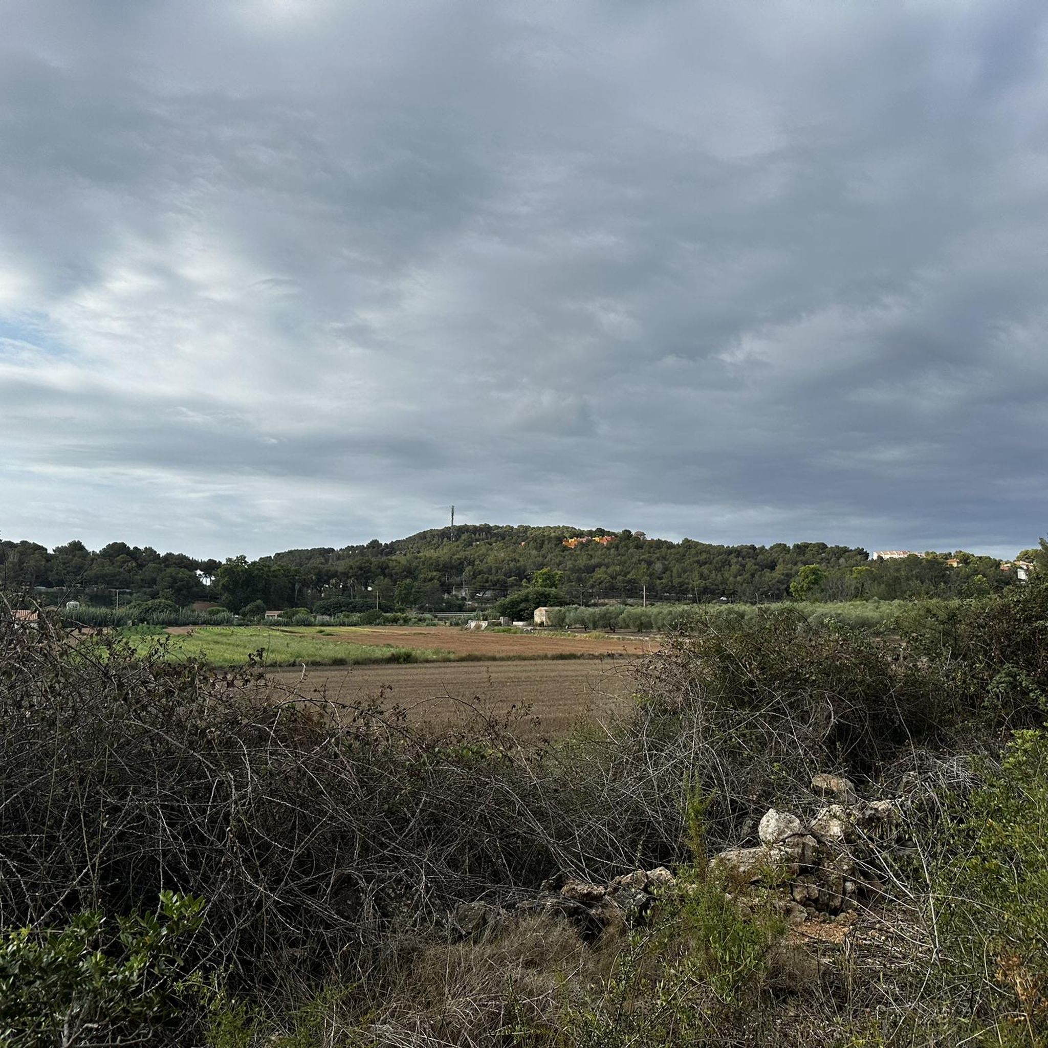
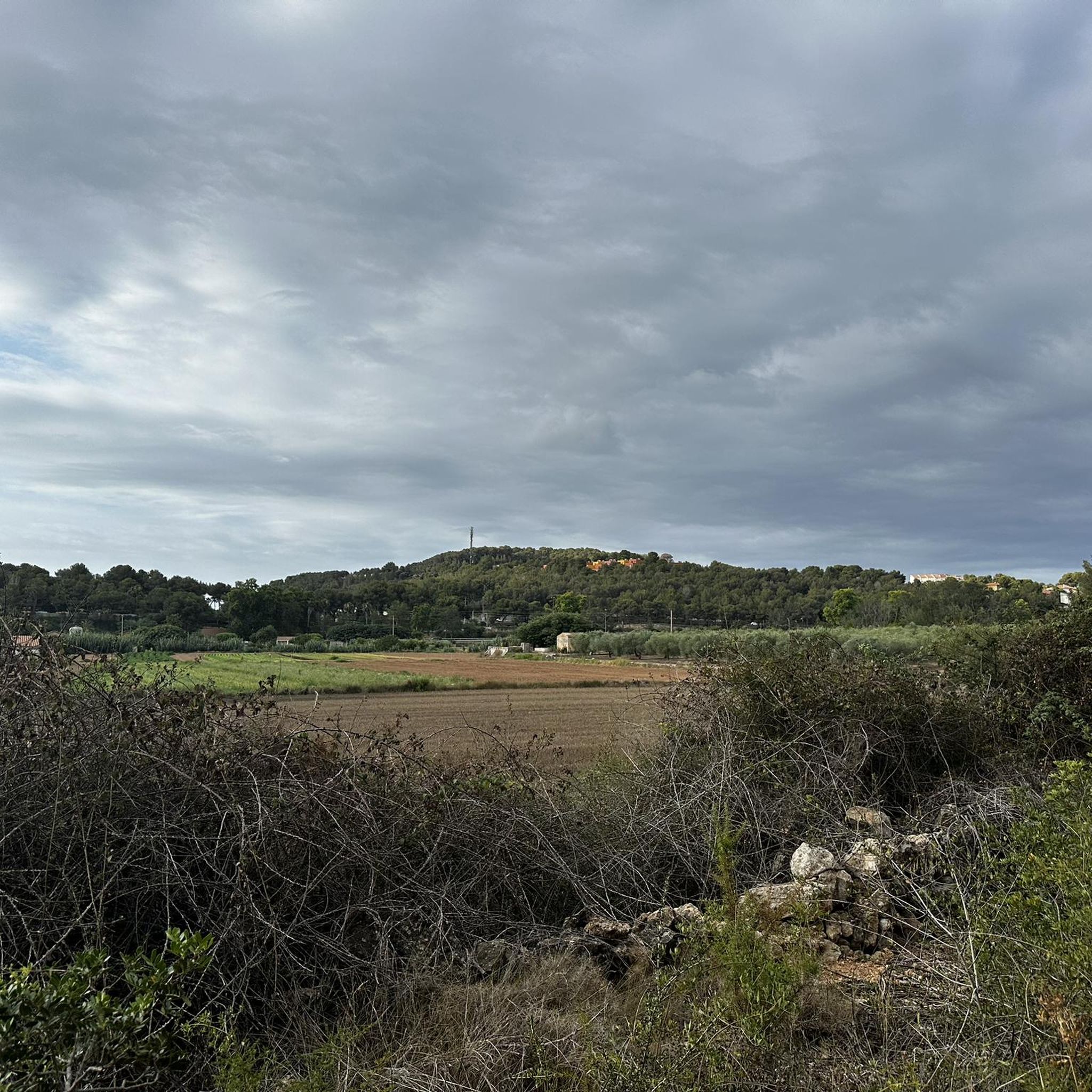

커뮤니티 팁

La Torre del Mas del Cusidó és un dels testimonis més singulars de l'arquitectura rural fortificada del litoral tarragoní. Adossada a una antiga masia d'origen baixmedieval, va ser reforçada amb una torre defensiva per protegir els seus habitants de les incursions pirates que assolaven la costa entre els segles XVI i XVII. De planta quadrada i construïda amb robusta maçoneria, encara conserva diversos elements defensius malgrat el seu avançat estat de ruïna. Declarada Bé Cultural d'Interès Nacional (BCIN), avui forma part de la Llista Roja del Patrimoni d'Hispania Nostra pel risc de col·lapse. Des d'aquest indret es pot descobrir un dels racons menys coneguts del patrimoni històric de la Móra-Tamarit.
0
0

Spectacular landscape full of native flora and fauna
0
0

An ideal route for the whole family, where grandchildren can share with grandparents, with plenty of samba, little to no elevation gain, and beautiful scenery.
0
0

It is the highest point of Altafulla
1
0


The mouth of the Gaià river is located next to Altafulla and is an area that has areas permanently flooded with fresh water that attract numerous species of birds, especially migratory ones. Various environmental education activities take place there. It is a small space, which follows the river Gaià in its last section to its mouth. It constitutes an islet of natural landscape of riparian and swamp vegetation, which contrasts with the rain-fed crops of its surroundings, as well as with tourist and recreational uses. It has areas permanently flooded with fresh water, which are a refuge for some faunal elements and serve as a resting point for migratory birds. The Hort de la Sínia Association carries out numerous environmental education activities there. Many people access it due to its location attached to the Tamarit campsite and the proximity of Altafulla beach. Hiking and beach activities are practiced there.
3
0

This is a sandy passage. Not passable by everyone, but the section is not too long. If you're unlucky, after heavy rain, the river may have too much water and then there's nothing to cross.
0
0

라 리에라 데 가이아 주변에서 가장 인기 있는 명소


더 살펴보기
다른 지역의 최고의 러닝 트레일 & 경로를 살펴보세요.
