크랄리키 스네즈니크 최고의 사이클링 경로
4.6
(70)
2,086
자전거 타는 사람
80
라이딩
크랄리키 스네즈니크 최고의 사이클링 경로를 지나며 멋진 자연공원을 만나보세요. 지금부터 가장 멋진 경로를 소개해드릴게요. 망설이지 말고, 크랄리키 스네즈니크에서 즐기고 싶은 자전거 라이딩을 아래에서 찾아보세요.
마지막 업데이트: 8월 24, 2026
5.0
(1)
219
자전거 타는 사람
12.5km
01:10
380m
380m
보통 자전거 타기. 좋은 체력 필요. 대부분 포장된 지면. 실력과 관계없이 누구나 갈 수 있음.
5.0
(1)
186
자전거 타는 사람
29.3km
02:45
830m
830m
어려운 자전거 타기. 우수한 체력 필요. 투어 중 자전거를 끌고 가야 하는 구간이 있을 수 있음.

무료 회원 가입
16
자전거 타는 사람
26.8km
02:43
770m
770m
어려운 자전거 타기. 우수한 체력 필요. 대부분 포장된 지면. 실력과 관계없이 누구나 갈 수 있음.
13
자전거 타는 사람
46.9km
05:03
1,550m
1,550m
어려운 자전거 타기. 우수한 체력 필요. 대부분 포장된 지면. 실력과 관계없이 누구나 갈 수 있음.
4.0
(1)
7
자전거 타는 사람
21.3km
01:32
440m
440m
보통 자전거 타기. 좋은 체력 필요. 대부분 포장된 지면. 실력과 관계없이 누구나 갈 수 있음.
더 다양한 경로와 다른 탐험가들의 추천을 살펴보세요.
무료 회원 가입
이미 komoot 계정이 있나요?
투어 추천은 다른 사람들이 komoot에서 완료한 수천 개의 활동을 바탕으로 구성되어 있습니다.
오늘 무료 계정으로 시작하세요
다음 모험이 기다리고 있어요.
로그인 또는 가입하기

커뮤니티 팁

The first mention of the development of Śnieżnik Mountain dates back to 1809, when the owner of Międzygórze, Count Wilhelm von Magnis, built barns and shepherd's huts on the mountain pasture below Śnieżnik. In 1838, Międzygórze was purchased by Princess Marianna of Orange, the Lady of Kamieniec Ząbkowicki – daughter of the King of the Netherlands and wife of a Prussian prince. In 1840, she invited her father, King Wilhelm, with whom she reached the summit of Śnieżnik on July 20th. In 1869, the Duchess took over the land on the mountain pasture below Śnieżnik. She commissioned a highlander from Switzerland to build a Swiss mountain hut (Schweizerei am Schneeberg or Schweizerei auf dem Schneeberg) on the mountain pasture below Śnieżnik, which now forms the main part of the mountain hut. Construction was completed in 1871. The building initially served as a tourist inn, with 50 beds and a large dining hall. In the following years, the buildings were modernized several times. In 1872, utility rooms were built on the site of an old dairy farm. In 1880, a meteorological station was opened at the inn. In the 1930s, the inn had 30 beds. After World War II, the building stood empty until 1946. The dilapidated buildings were taken over by "Orbis," renaming it "Szwajcarka." In 1947, the Polish Tatra Mountain Shelter Board took over. The following summer, a shelter was opened, named "Na Śnieżniku" to distinguish it from the "Szwajcarka" shelter in Rudawy Janowickie. In 1950, the building became the property of the Polish Tourist and Sightseeing Society. At that time, the shelter had 63 beds. In the 1980s, the shelter was thoroughly modernized and renovated thanks to the efforts of its then-lessee, Zbigniew Fastnacht, who managed the facility from 1982 to 2001. After his death, in recognition of his achievements, the shelter was named after him.
1
1


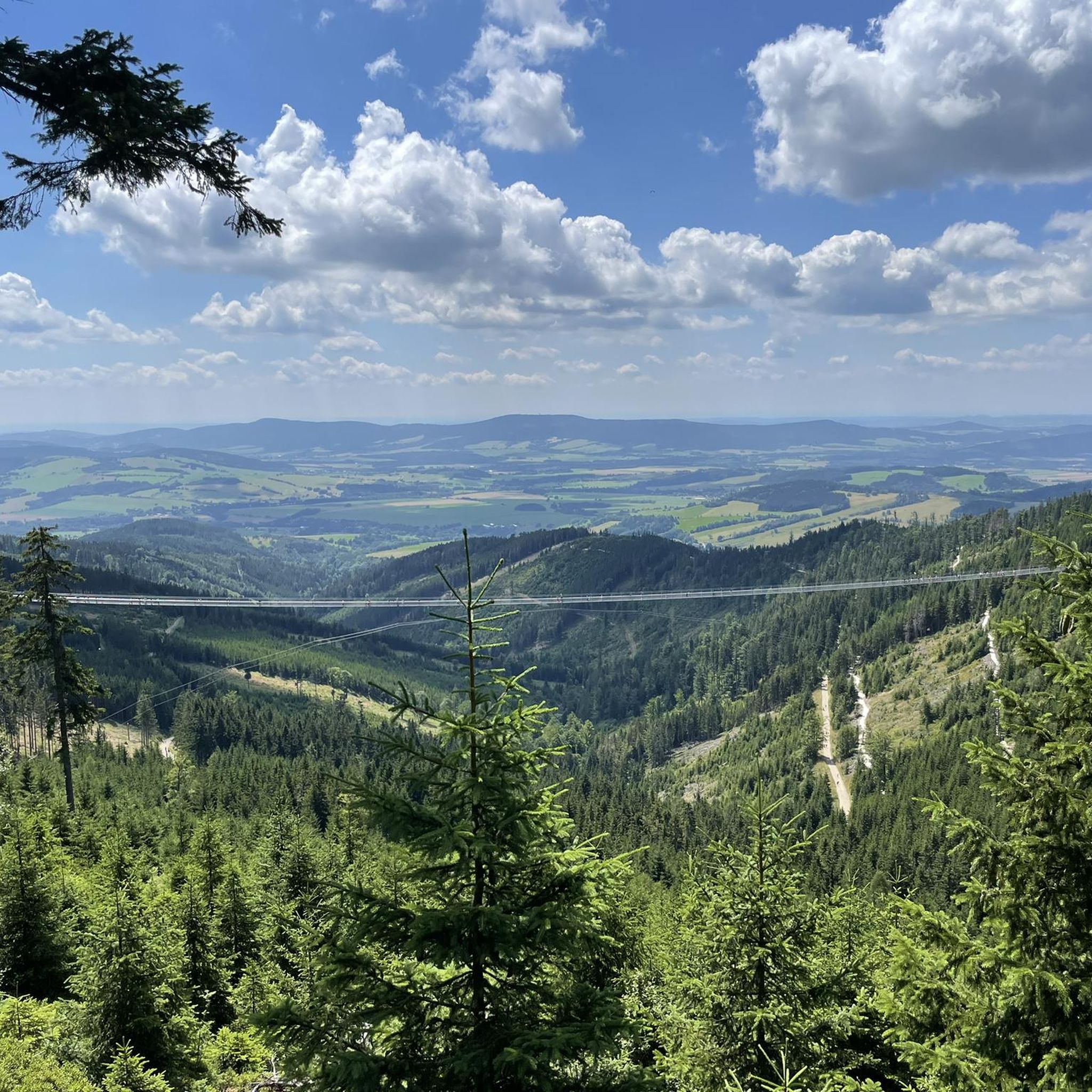
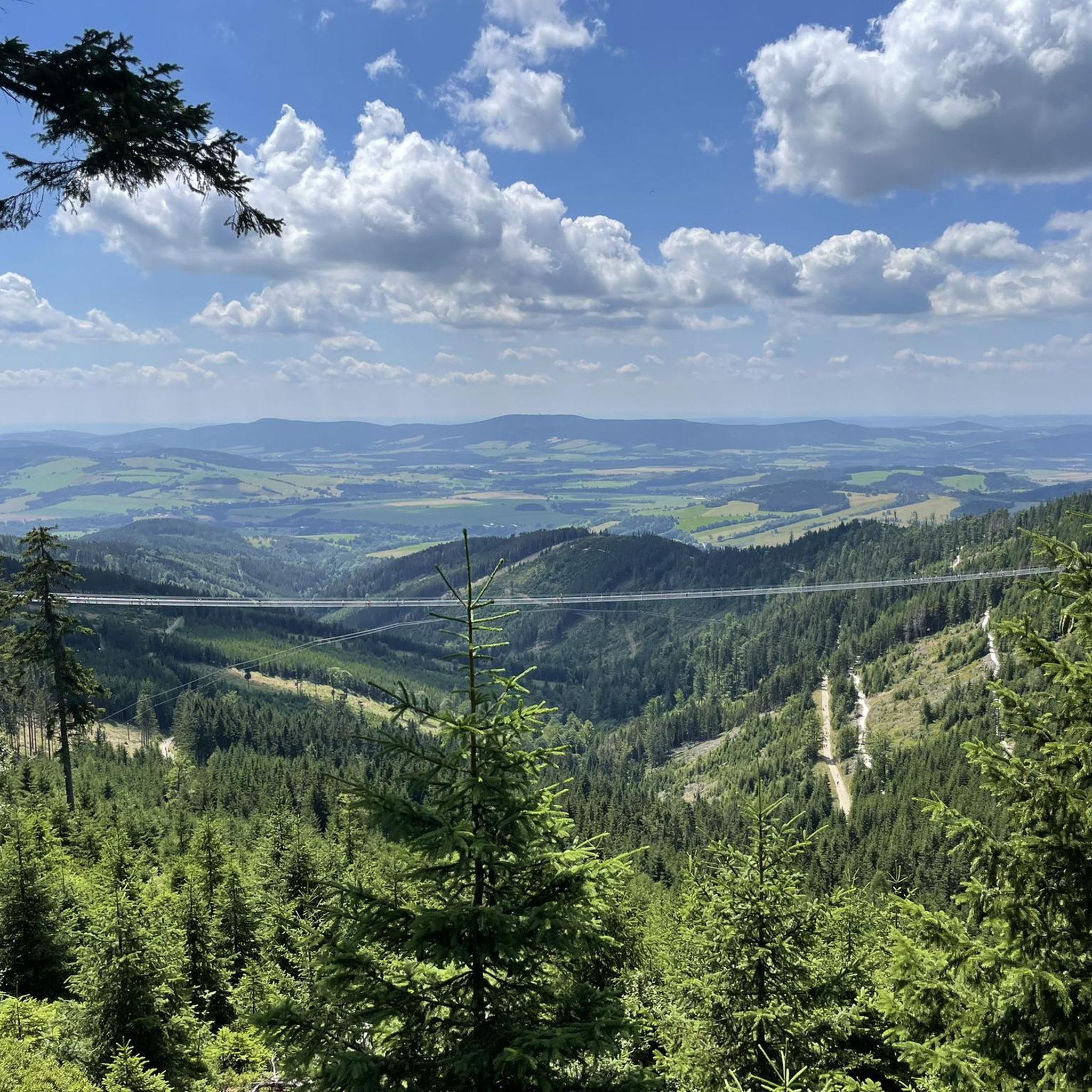
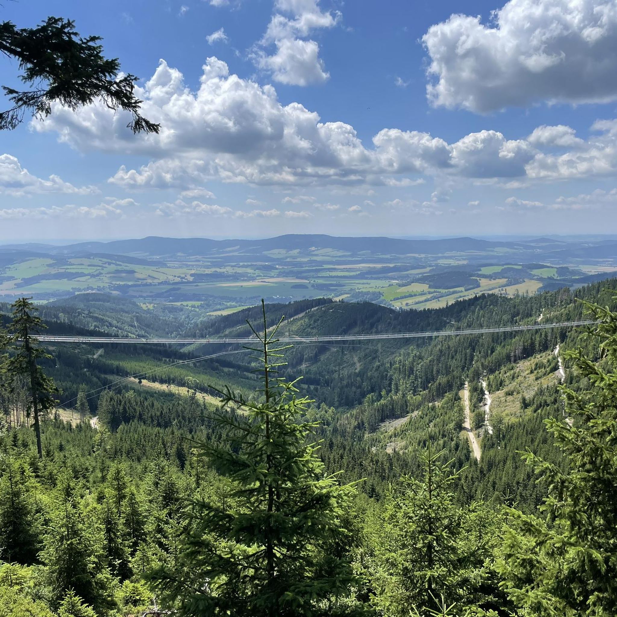
A view of Sky Bridge 721. Sky Bridge 721 in Dolní Morava is one of the most spectacular attractions in the Czech mountains, right on the border with Poland. This 721-meter-long suspension footbridge hangs 95 meters above the valley, guaranteeing a thrilling experience and exceptional panoramic views of the surrounding area. It connects the Slaměnka chalet on the slopes of Slamník Peak with the slopes of Chlum Mountain, providing a unique walking route for hikers who aren't afraid of heights. It's also worth noting that the "Sky Walk" is located nearby, a wooden observation deck 55 meters above the ground.
1
0

A mountain hike in the Dolni Morava ski area with unique experiences and impressions. The first destination after the approximately one-hour ascent is to cross the currently second-longest suspension bridge, the "Sky Bridge 721." Height difference: 91 meters to the ground. After a short walk back, past old World War II shooting ranges and information boards about the history of the area, we continue to the Sky Walk, a unique shooting range. (Warm clothing, long pants, and a windproof jacket are recommended. It's usually very windy on the Sky Walk (we're at an altitude of almost 1200 meters). As a reward, you can treat yourself to the longest coaster, the "CZ," and the second-longest summer toboggan run in Europe. Alternatively, you can take the chairlift or walk down the ski slopes to the valley to the starting point.
2
0

A visit is worthwhile. You'll be rewarded with a magnificent view. We booked tickets online in advance. During the week, we didn't have to wait, and it wasn't too crowded. But it was quite windy at the top.
0
0

A crossroads of trails under the last climb to the shelter, a nice place for a short rest. Next to the path there is a tourist information board, a table with benches and a small chapel/obelisk of the "Three Saints".
0
0
It is better to book a place to stay in advance, the food is OK, the prices are like in other shelters in Poland, you have to take into account that there is no Wi-Fi on the premises of the shelter, and the mobile internet is so-so.
2
0

TIP: The following book provides detailed descriptions of hikes in the Adršpach-Teplice Rocks, Broumov Region, Eagle Mountains & Jeseníky Mountains, and the entire region: Adršpach-Teplice Rocks - Eagle Mountains & Jeseníky Mountains A travel guide for Bohemia & Moravia with travel and hiking sections for: Adršpach-Teplice Rocks & Broumov Walls, Błędne Skały National Park, Eagle Mountains, Jeseníky Mountains with Sněžka (formerly Schneeberg) and with 43 long-distance hikes from Trutnov on the edge of the Giant Mountains to Ostrava in Moravian Silesia and from Olomouc to Hradec Králové & Pardubice ISBN: 978-3-9816577-5-3 Information about the book & ordering options Order: www.reise-karhu.de/reisebuecher/adersbacher-felsen-adlergebirge.html
1
0
크랄리키 스네즈니크 주변에서 가장 인기 있는 경로
크랄리키 스네즈니크 주변에서 가장 인기 있는 명소


더 살펴보기
다른 지역의 최고의 자전거 경로를 살펴보세요.
