발 달바 최고의 라이딩 경로
4.7
(8)
1,180
자전거 타는 사람
77
라이딩
발 달바의 로드 사이클링 경로를 찾으시나요? 그렇다면 발 달바 로드 라이딩 컬렉션 중에서 가장 멋진 라이딩 장소를 아래에서 살펴보세요.
마지막 업데이트: 9월 3, 2026
54
자전거 타는 사람
79.5km
04:22
1,620m
1,620m
어려운 도로 자전거 타기. 우수한 체력 필요. 지면 대부분이 잘 포장되어 있고 라이딩하기 쉬움.
52
자전거 타는 사람
44.4km
02:04
540m
540m
보통 도로 자전거 타기. 좋은 체력 필요. 지면 대부분이 잘 포장되어 있고 라이딩하기 쉬움.

35
자전거 타는 사람
80.9km
04:09
1,460m
1,460m
어려운 도로 자전거 타기. 우수한 체력 필요. 지면 대부분이 잘 포장되어 있고 라이딩하기 쉬움.
25
자전거 타는 사람
40.6km
02:08
660m
660m
보통 도로 자전거 타기. 좋은 체력 필요. 지면 대부분이 잘 포장되어 있고 라이딩하기 쉬움.
25
자전거 타는 사람
44.2km
02:17
730m
730m
보통 도로 자전거 타기. 좋은 체력 필요. 지면 대부분이 잘 포장되어 있고 라이딩하기 쉬움.
더 다양한 경로와 다른 탐험가들의 추천을 살펴보세요.
이미 komoot 계정이 있나요?
투어 추천은 다른 사람들이 komoot에서 완료한 수천 개의 활동을 바탕으로 구성되어 있습니다.
오늘 무료 계정으로 시작하세요
다음 모험이 기다리고 있어요.


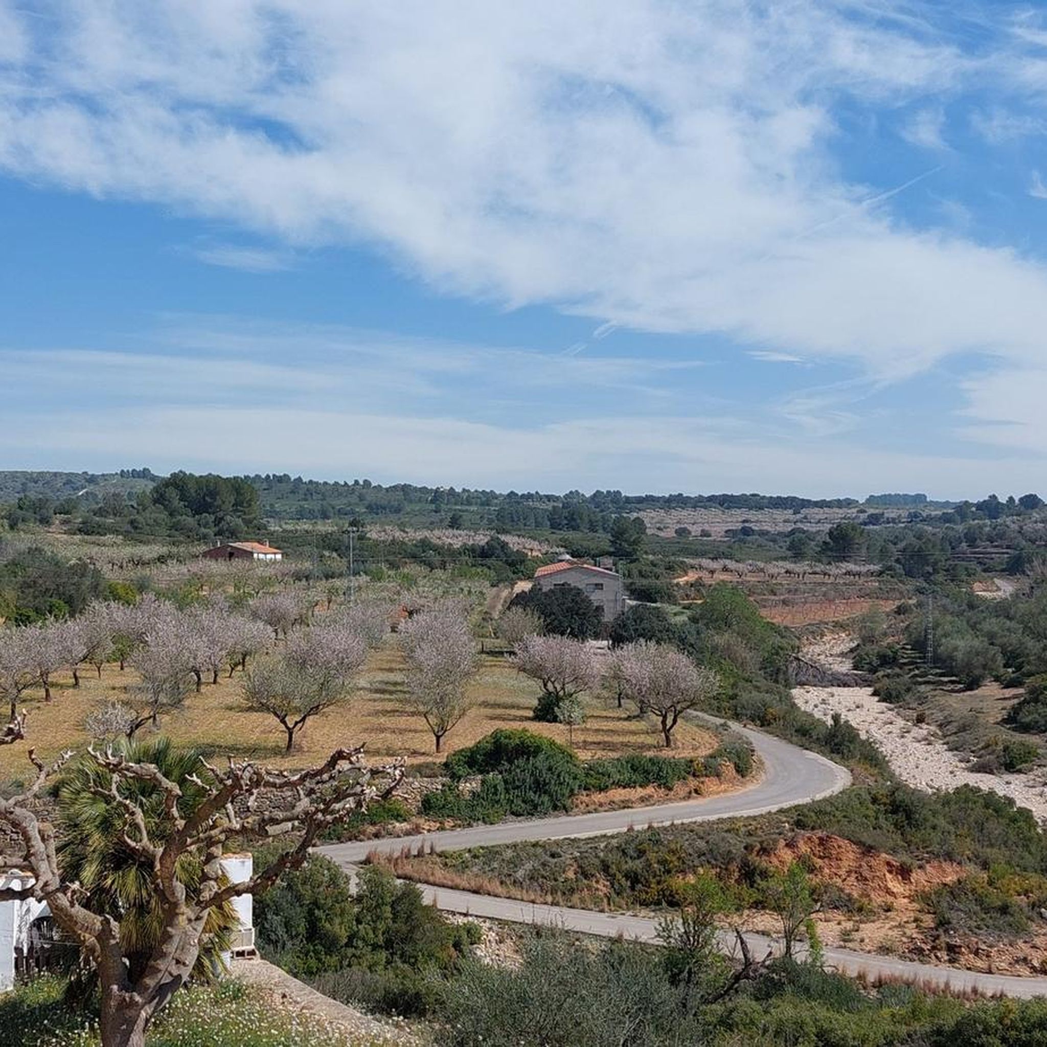


커뮤니티 팁

Giant Yellow Bike, located in the municipality of Vall d'Alba, is the yellow one and is part of the 7 in the Plana de l'Arc.
0
0
One of the 7 giant bikes that are spread around the Plana de l'Arc, the yellow one.
0
0

It is part of the 7 chairs scattered throughout the villages of the Plana de l'Arc. Each one is a different color and they play different messages. They are a tribute to the Valencian custom of sitting outside and having a relaxed conversation.
4
0

짧지만 매우 힘든 오르막으로, 그 힘듦에 아마 놀라게 될 것입니다. CV-15 교차로까지 이어지는 초기 구간부터 힘든 경사로를 오르기 시작할 것이며, Rosildos 마을을 지나 교회 주변을 돌아 Mas de Cervera로 향하는 거리를 찾을 것입니다. 그곳에서 Serra Engarcerán으로 가는 "주요" 도로와 연결될 것입니다. 조금 더 나무가 많은 지역에 도착하면 짧은 휴식을 발견하겠지만, 방심하지 마십시오. 왼쪽으로 커브를 돌고 나무가 사라지면 오르막의 가장 힘든 구간을 만나게 될 것입니다. 이곳에서는 500m 구간에서 최대 16%의 경사가 나타나며, 10% 이하로 떨어지지 않습니다. 조금 더 쉽게 끝낼 수 있겠지만, 의심할 여지 없이 이 오르막은 우리를 기쁘게 놀라게 할 것입니다.
0
0

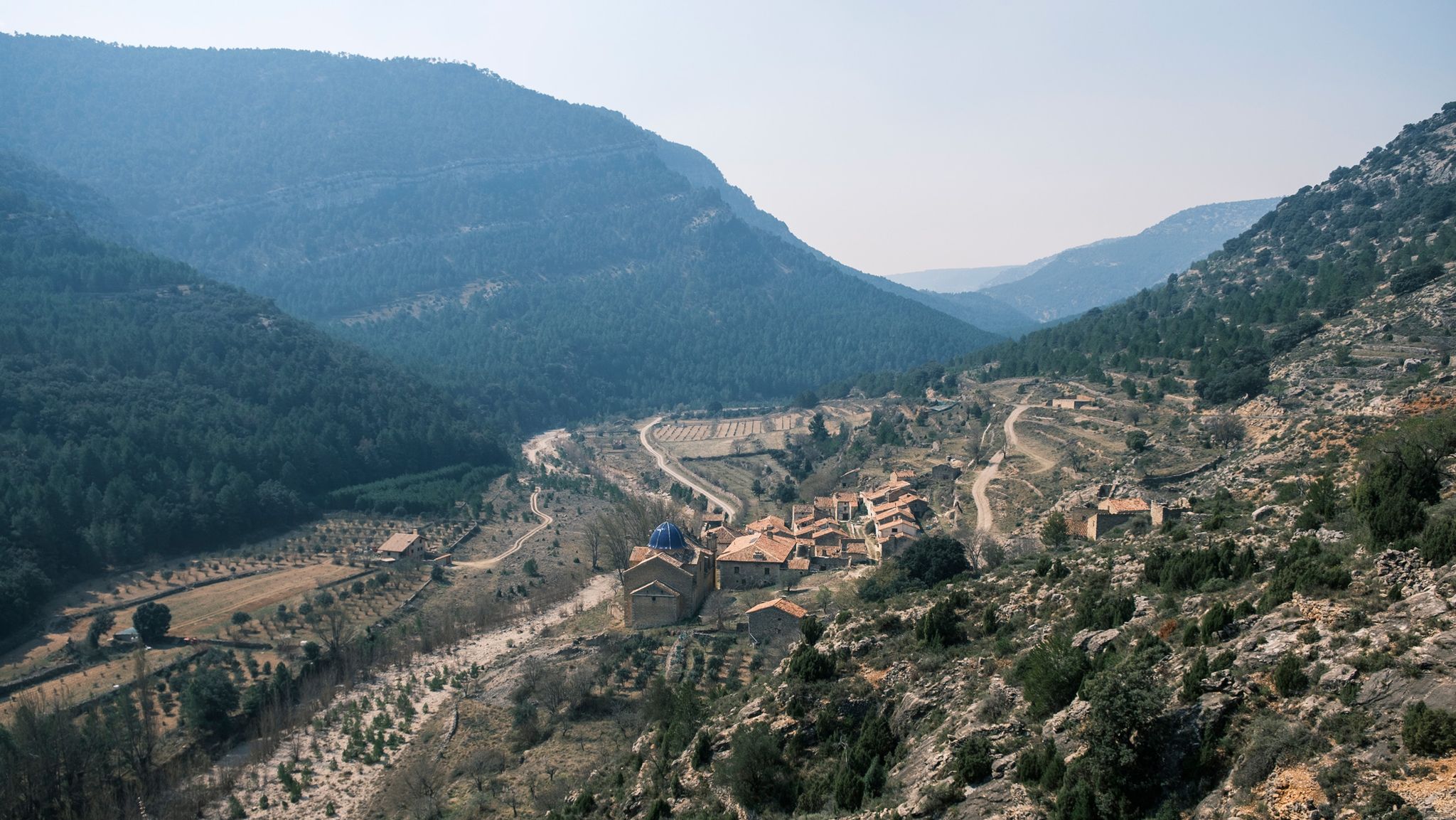
Les Useres (Useras in Spanish) is a town located between ravines and mountains. It is famous for being a place where several mountain and cycling races take place. In addition, the town celebrates one of the oldest pilgrimages in Valencia: the Useras Pilgrims. Dating back to the 14th century, it is a tradition that twelve pilgrims and a guide walk along mountain paths until they reach the sanctuary of San Juan de Peñagolosa. The GR 33 follows this same path that takes pilgrims to the sanctuary.
0
0

Municipality of the Alto Maestrazgo region, in the province of Castellón (Valencian Community). The place name comes from Arabic, and refers to the Berber tribe of the Zenatas. The abundant archaeological remains of the place explain its long history, from Iberian ceramics to the Arab castle and medieval walls. The remains of the medieval walls and the castle of Adzaneta, or the Torre de la Presó, form part of its cultural heritage. The current town hall, formerly a hospital and Palace of the Commander of the Setena Culla during the 16th century, is also a historic building.
0
0

Atzeneta del Maestrat, the best terreta in the world.
1
0

발 달바 주변에서 가장 인기 있는 명소


더 살펴보기
다른 지역의 최고의 로드 사이클링 경로를 살펴보세요.
