라 페스케라 최고의 워킹 & 하이킹 경로
4.6
(67)
336
등산객
24
하이킹
정확한 경로를 찾는 것이 때로는 어렵지만 라 페스케라에서 하이킹을 하면 다양한 경치를 마음껏 감상할 수 있답니다. 라 페스케라에서 가장 멋진 하이킹과 워킹 중에서 마음에 드는 활동을 시작해보세요.
마지막 업데이트: 8월 3, 2026
4.8
(25)
83
등산객
5.99km
01:47
190m
190m
Hike the Parque Natural de las Hoces del Cabriel to see Los Cuchillos and Barranco Moluengo, featuring dramatic geological formations.
4.2
(5)
46
등산객
6.38km
01:42
60m
60m
Hike the easy 4.0-mile Los Cuchillos del Cabriel Trail to see unique knife-like rock formations and river views in Hoces del Cabriel Natural

무료 회원 가입
5.0
(1)
2
등산객
17.9km
04:56
310m
310m
Hike the moderate 11.1-mile Embalse de Contreras circular route from La Pesquera, featuring Roman roads and reservoir views.
5.0
(1)
2
등산객
20.9km
06:15
450m
450m
Hike the difficult 13.0-mile Four Rivers Trail in Monumento Natural Chorreras del Cabriel, gaining 1466 feet over 6 hours.
4.4
(5)
54
등산객
8.12km
02:25
250m
250m
보통 하이킹. 좋은 체력 필요. 실력과 관계없이 누구나 쉽게 갈 수 있는 길.
더 다양한 경로와 다른 탐험가들의 추천을 살펴보세요.
무료 회원 가입
이미 komoot 계정이 있나요?
투어 추천은 다른 사람들이 komoot에서 완료한 수천 개의 활동을 바탕으로 구성되어 있습니다.
오늘 무료 계정으로 시작하세요
다음 모험이 기다리고 있어요.
로그인 또는 가입하기
라 페스케라 주변 인기 장소
커뮤니티 팁


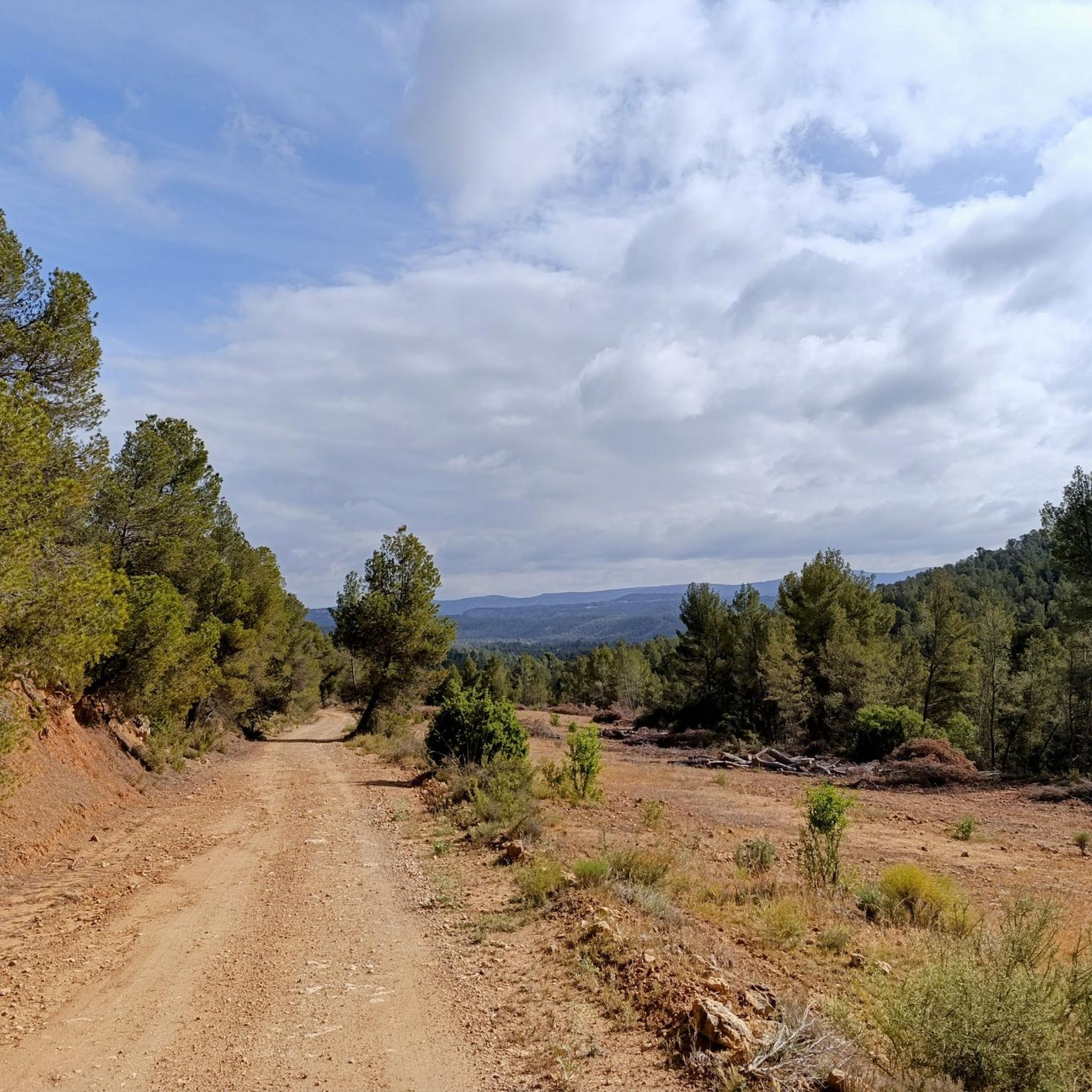
Walking along paths and roads. The land is also cool!
0
1

The path that leads there is without technical difficulty and flat, so there is no reason not to go and see this wonderful place.
0
1

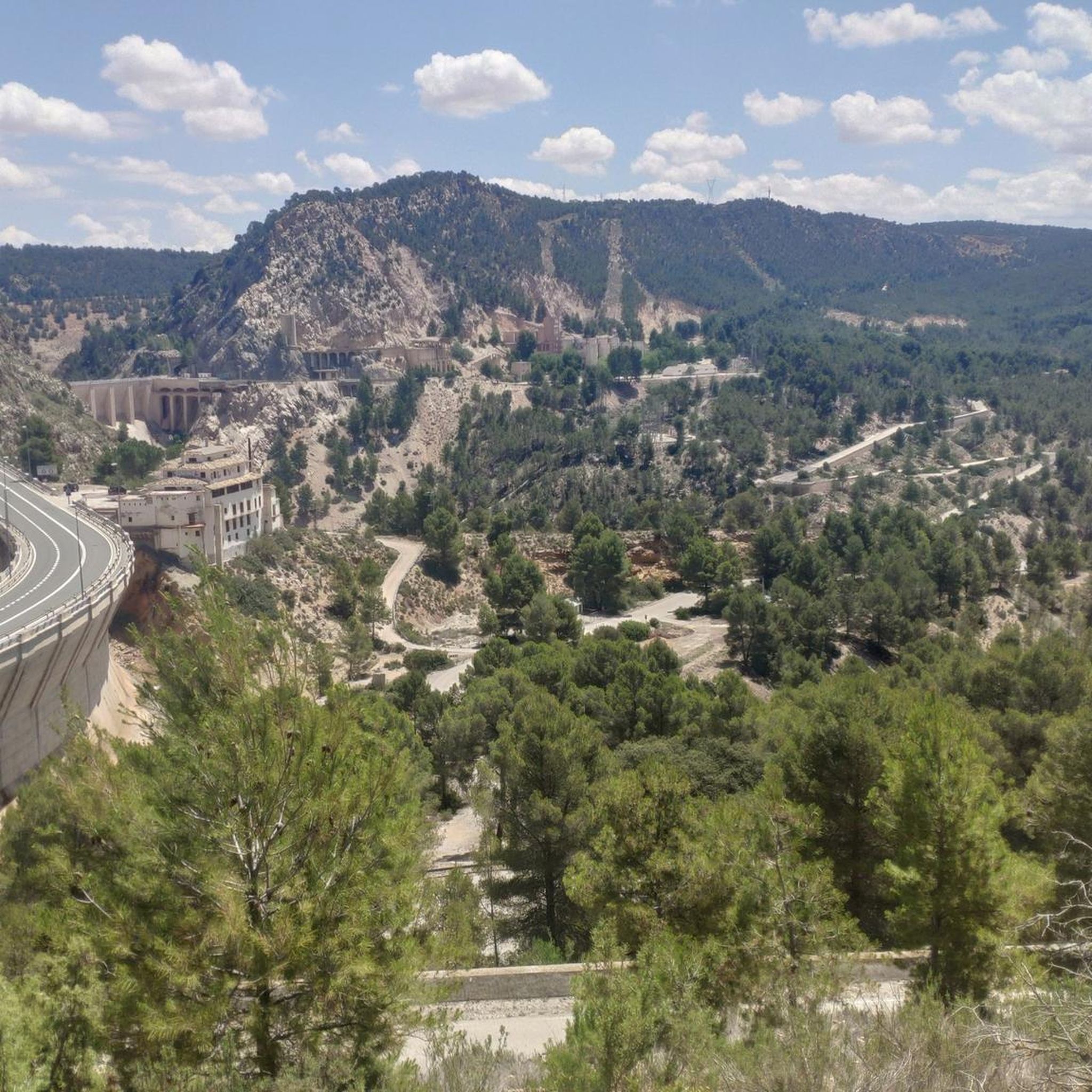
Built in the '70s, it accumulates the waters of the Cabriel and Guadazaón rivers at their confluence upon reaching the limits of the province of Cuenca and Valencia, also the regional border between these two communities.
1
1
Within the Hoces del Cabriel Natural Park are these wonderful and striking rock formations, one of the most visited attractions in the park. Due to its structure and the effects of erosion, peaks that resemble knives were formed, hence the name of the rocky line of Cuchillar de Contreras.
2
0
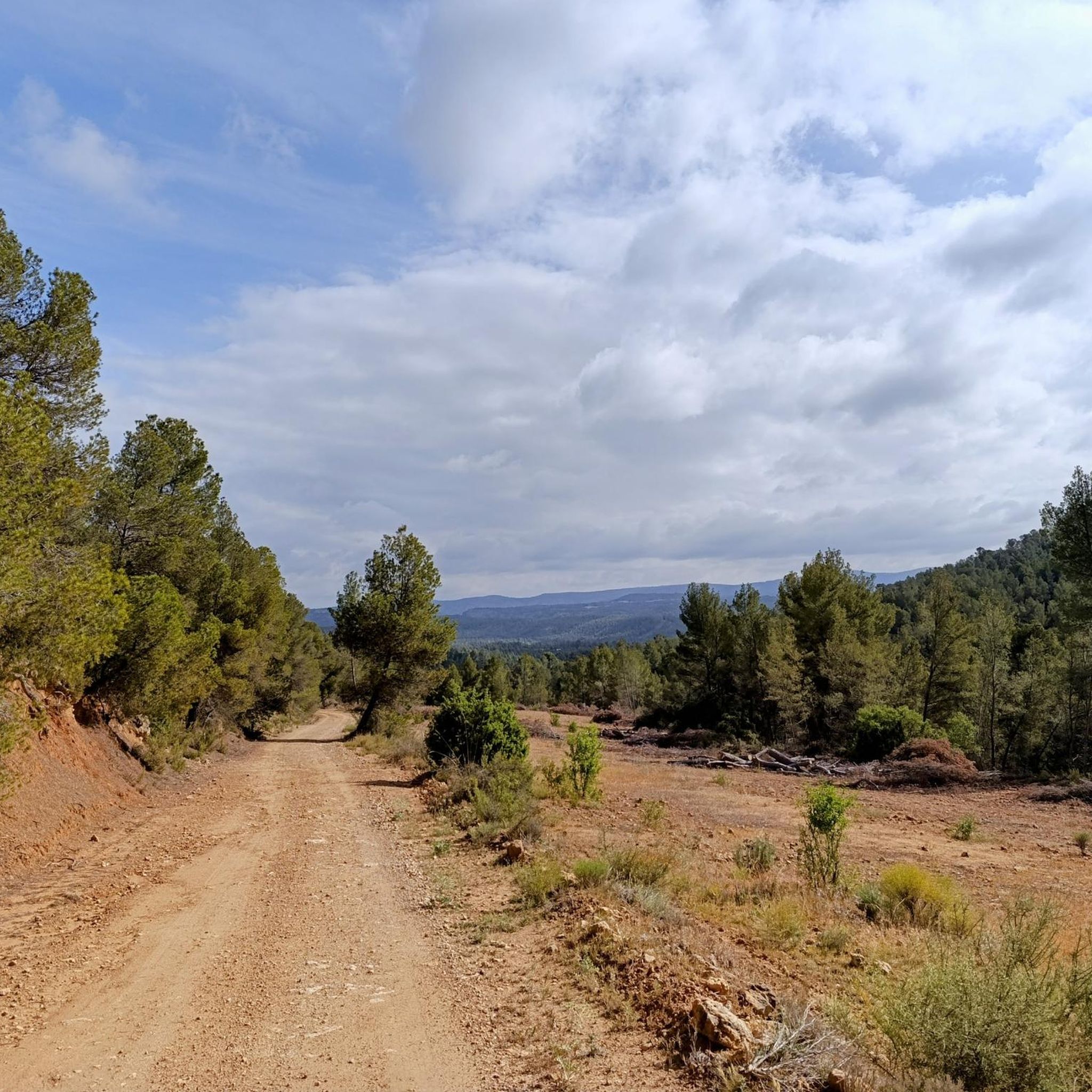
One of the many panoramic points offered by the Cuatro Ríos trail, in this case with beautiful views of Cabeza Moya flanked by the Cabriel River on its way to the Contreras Reservoir.
3
0
From the town of Enguídanos you can take the marked path PR-CU 54 that takes you through a wonderful landscape crossing the four rivers that converge in these areas, the Cabriel, San Martín, Mira and Narboneta rivers. The Route is about 20 kilometers, although you can take shortcuts in several sectors to shorten the journey.
3
0
라 페스케라 주변에서 가장 인기 있는 경로
라 페스케라 주변에서 가장 인기 있는 명소


더 살펴보기
다른 지역의 최고의 하이킹를 살펴보세요.
