오카냐 최고의 라이딩 경로
5.0
(3)
297
자전거 타는 사람
12
라이딩
오카냐의 로드 사이클링 경로를 찾으시나요? 그렇다면 오카냐 로드 라이딩 컬렉션 중에서 가장 멋진 라이딩 장소를 아래에서 살펴보세요.
마지막 업데이트: 8월 21, 2026
5.0
(1)
29
자전거 타는 사람
57.8km
03:08
1,190m
1,180m
어려운 도로 자전거 타기. 우수한 체력 필요. 지면 대부분이 잘 포장되어 있고 라이딩하기 쉬움.
12
자전거 타는 사람
102km
05:32
2,110m
2,110m
어려운 도로 자전거 타기. 우수한 체력 필요. 지면 대부분이 잘 포장되어 있고 라이딩하기 쉬움.

무료 회원 가입
12
자전거 타는 사람
60.9km
03:02
910m
910m
어려운 도로 자전거 타기. 우수한 체력 필요. 지면 대부분이 잘 포장되어 있고 라이딩하기 쉬움.
8
자전거 타는 사람
73.9km
03:41
1,150m
1,150m
어려운 도로 자전거 타기. 우수한 체력 필요. 지면 대부분이 잘 포장되어 있고 라이딩하기 쉬움.
9
자전거 타는 사람
129km
07:09
2,720m
2,720m
어려운 도로 자전거 타기. 우수한 체력 필요. 투어 중 라이딩하기 어려운 비포장 구간이 있을 수 있음.
더 다양한 경로와 다른 탐험가들의 추천을 살펴보세요.
무료 회원 가입
이미 komoot 계정이 있나요?
투어 추천은 다른 사람들이 komoot에서 완료한 수천 개의 활동을 바탕으로 구성되어 있습니다.
오늘 무료 계정으로 시작하세요
다음 모험이 기다리고 있어요.
로그인 또는 가입하기


커뮤니티 팁

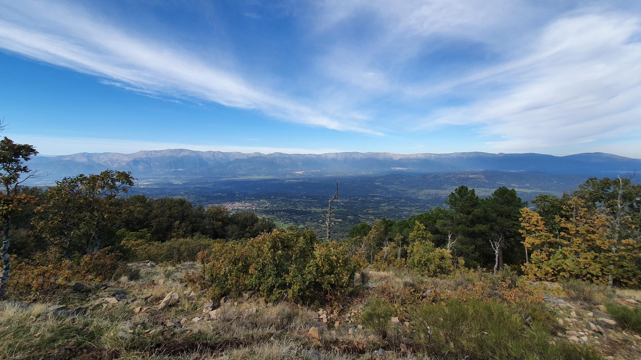
The Pedro Bernardo Pass is one of the classic climbs in the Sierra de Gredos mountains, highly prized by cyclists and a regular feature of races like the Vuelta a España. First section: Up to the village (Pedro Bernardo), with gradients of 5-6%, a road in good condition, and spectacular views of the Tiétar Valley. Urban section: In the village, the gradient eases, even offering some flatter sections. Second section: After the village, the asphalt becomes rougher, and the toughest kilometer (7-8%) appears, followed by a "balcony" section with incredible views and a sustained 5% gradient to the summit.
1
0

El Real de San Vicente is located at the foot of the mountain range from which it takes its name, in a prime setting for outdoor activities. Its location is associated with military settlements in the 11th and 12th centuries. Remains of its millennia-long occupation are preserved in the village.
0
0

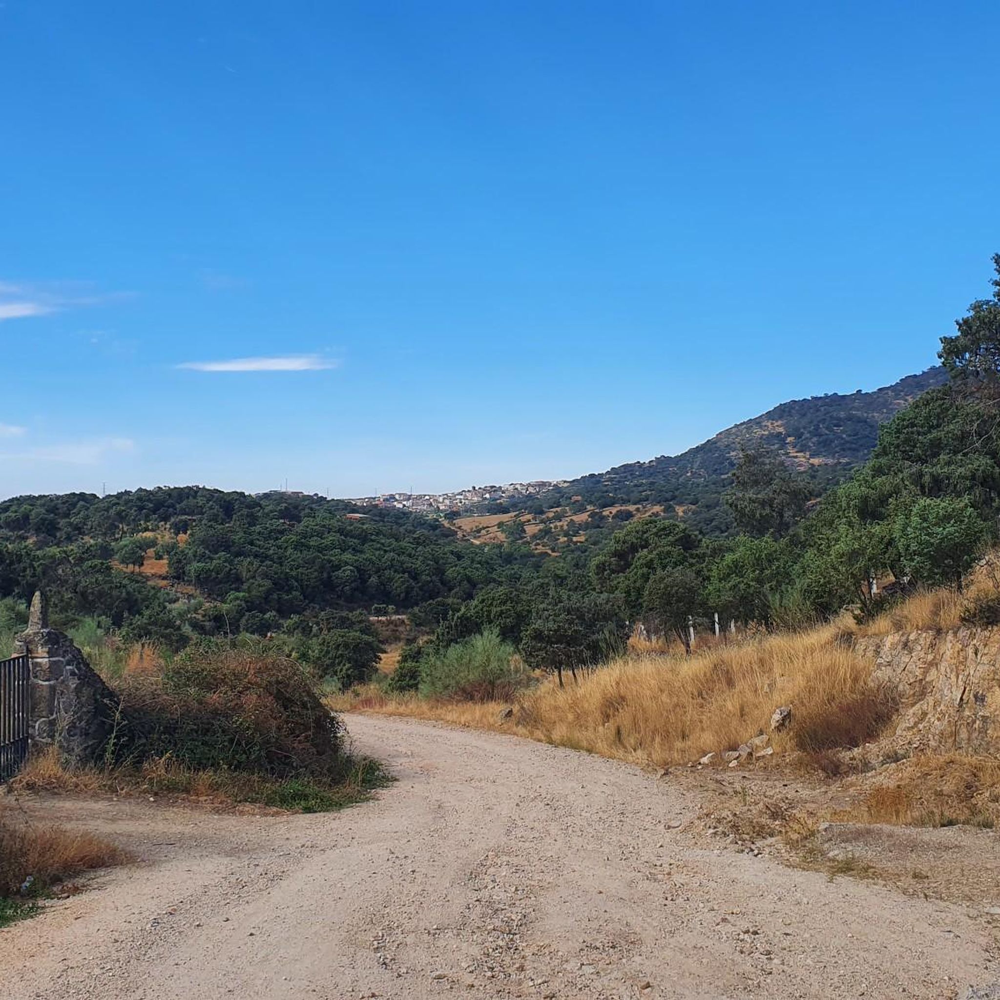
The Puerto de Pedro Bernardo is the younger brother of the Puerto de Serranillos. Almost every time this port has been climbed in a professional race it is linked to the Puerto de Serranillos, only the second being considered a port. However, the Puerto de Pedro Bernardo is in itself a hill where you can go from the valley where the CL-501 road runs (where the town with the same name is located) to the valley of the Puerto de Pico, where Esteban del Valle and Mombeltrán are located. The chain with Serranillos is the most typical, as I said previously, although it is also worth chaining it with the Puerto de la Centenera or the Puerto del Pico. The road is rough, with hardly any shoulder and very little traffic. It is a very pleasant port to climb... as long as the heat is not suffocating.
2
0
The place name Pelahustán seems to derive from the activity related to looms and the sale of linen that the population had in the past. In documents from the 18th century, it appears as Pelafustan. According to the dictionary of the Royal Spanish Academy, the concept of pelafustán is equated with that of pelagatos, which in turn means “insignificant or mediocre person, without social or economic position.” The town also had several water mills worked by Salamancan teleworkers. Pelahustán is located at an altitude of 673 meters above sea level and borders the terms of Higuera de las Dueñas in the province of Ávila, Nombela, Nuño Gómez, Garciotum and El Real de San Vicente in the province of Toledo, and Ceniientos in the Community of Madrid 😊
2
0

Mijares is located on the southern slope of the Villafranca mountain range, near the Tiétar river. The town is surrounded by a natural environment with forests and mountains, which makes it an attractive place for nature and hiking lovers. The most important points of the town are the parish church of San Bartolomé Apóstol, rebuilt in the 18th century, and the Plaza Mayor, the nerve center of the municipality, where various businesses are located and local events and activities are held.
2
0
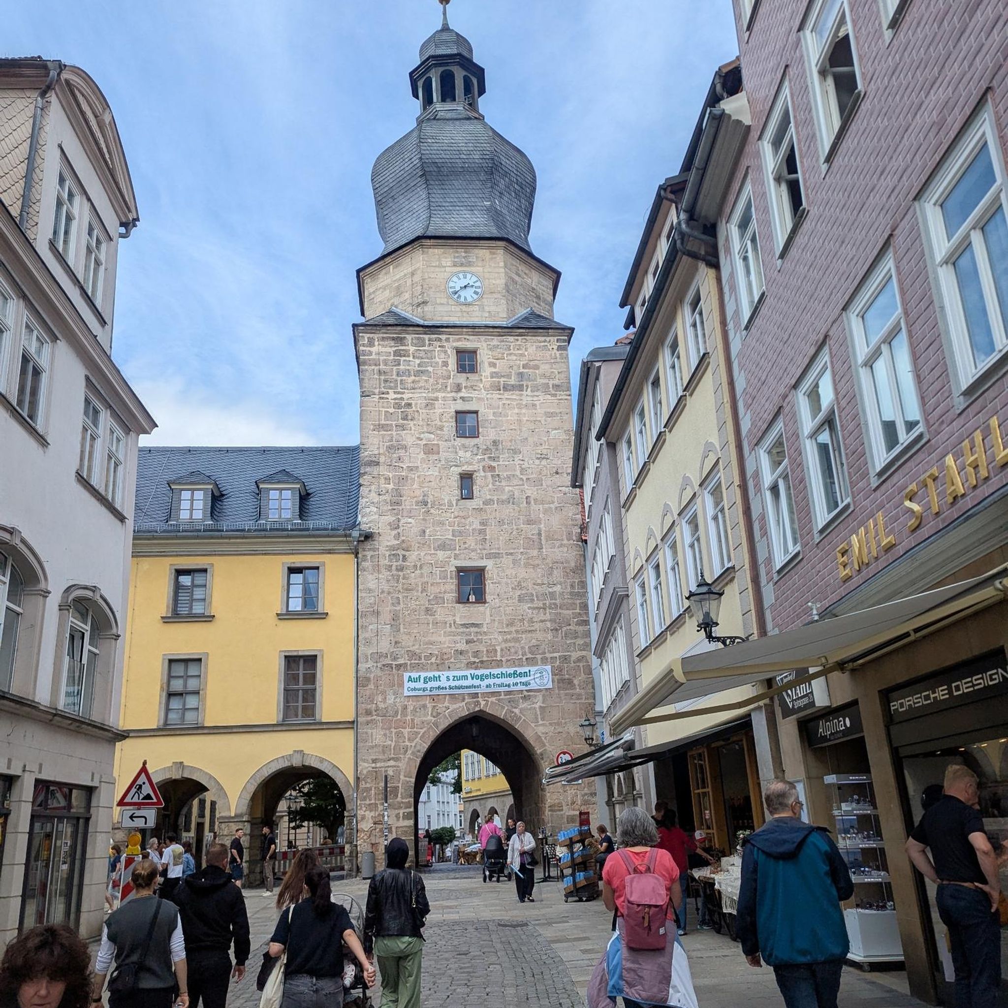
The Church of St. Mary Magdalene in Garciotum is a 15th-century Gothic-Renaissance church. You'll probably notice that the tower is in a different style; it dates back to the 17th century.
1
0
Castillo de Bayuela is a town in the Sierra de San Vicente region that has monuments that prove its historical importance, such as the Gothic-Renaissance church of San Andrés, the jurisdictional roll or some vetone boars. In addition, it has a series of ideal services for the traveler.
2
0
The port of Piélago is located at an altitude of 1,222 meters and is a classic of Toledo cycling. It is located in Real de San Vicente and is a pass between the north and south slopes of the Sierra de San Vicente. Towards the south face there are good views of the Toledo steppe.
0
0
오카냐 주변에서 가장 인기 있는 경로
오카냐 주변에서 가장 인기 있는 명소


더 살펴보기
다른 지역의 최고의 로드 사이클링 경로를 살펴보세요.
