20의 솔라나 데 리오알마르가지 명소 & 주요 장소
솔라나 데 리오알마르에는 둘러볼 만한 장소가 많답니다. 하이킹 또는 사이클링을 좋아한다면 솔라나 데 리오알마르에 숨겨진 20
가지 보석을 만날 수 있을 거예요. 이 지역의 주요 명소를 살펴보면서 다음 모험을 계획해보세요.
마지막 업데이트: 7월 15, 2026
카를로스 5세 다리
하이라이트 • 다리
번역자 Google •
팁에 의해

베하르 역과 비아 데 라 플라타 터널
하이라이트 • 트레일
80.1 kilometers. 730 positive meters.
The route leaves the Béjar station through a curved tunnel with automatic artificial lighting that passes under the historic complex, where the …
번역자 Google •
팁에 의해

이런 장소를 발견하려면 지금 가입하세요
최고의 싱글 트랙, 봉우리 및 다양한 흥미로운 야외 장소에 대한 추천을 받아보세요.
무료 회원 가입

엘 바르코 데 아빌라
하이라이트 • 정착지
번역자 Google •
팁에 의해
페냐 데 라 크루스와 밸런스드 볼더
하이라이트 • 기념물
At the end of the path we find …
번역자 Google •
팁에 의해
무료로 가입하여 솔라나 데 리오알마르 주변의 더 많은 명소를 발견하세요.
무료 회원 가입
이미 komoot 계정이 있나요?
오늘 무료 계정으로 시작하세요
다음 모험이 기다리고 있어요.
로그인 또는 가입하기

커뮤니티 팁

Valdecorneja Castle, located in El Barco de Ávila, is a medieval gem that dominates the Tormes River valley from a strategic, elevated position. It is one of the most emblematic monuments in the province of Ávila and a must-see for history and architecture lovers.
2
0
Visiting El Barco de Ávila is an excellent option for a cultural and natural getaway at any time of year. This medieval town, located in the Alto Tormes region and at the gateway to the Sierra de Gredos, combines history, architecture, landscapes, and gastronomy in a charming way.
2
0

Built on a Vettonian fort that was destroyed by the Romans, it was built in the 12th century and rebuilt in the 14th century. After being conquered from the Arabs, King Alfonso VI donated the Lordship of Valdecorneja to his daughter and son-in-law, Ramon de Borgoña, for repopulation. At the beginning of the 14th century, Henry II of Trastamara donated these lands to the House of Alba in the person of Don García Álvarez de Toledo. The House of Alba was responsible for building the castle. Grand Duke Don Fernando Álvarez de Toledo had his second residence here. During the Peninsular War, it suffered significant deterioration, not only due to the war itself but also because its stones were used to build private homes. The old interior arcade (which apparently formed a double gallery on the inside of the tower) was dismantled and rebuilt to provide arcades for the town hall building, located in the Plaza Mayor. Between 1851 and 1904, the interior of the castle grounds was used as a municipal cemetery, which further deteriorated its condition. Today, the exterior is in perfect condition after restorations carried out in 1985 and 2004, preserving its original perimeter. The pavement and part of the keep were repaired. Access to the monument is free, and visitors can see the well located in the center of the courtyard, a vaulted cistern excavated in the subsoil rock, and the ancient windows and oriel windows with double pointed arches. The courtyard is used for certain cultural events held in this town.
1
0

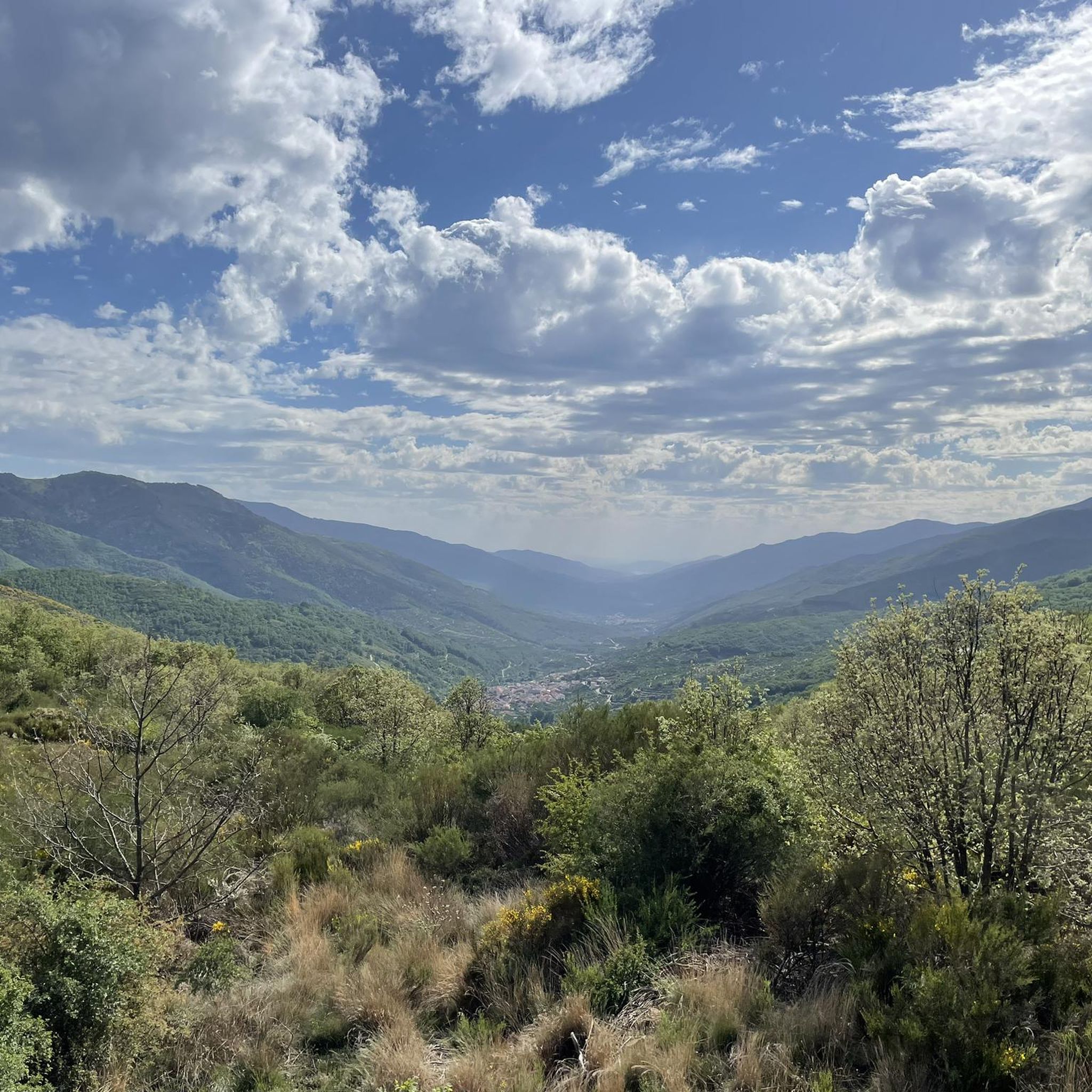
Stage 2. Béjar/Plasencia 80.1 kilometers. 730 positive meters. The route leaves the Béjar station through a curved tunnel with automatic artificial lighting that passes under the historic complex, where the main monuments and buildings are located around the Plaza Mayor, the Doge's Palace, the churches and the streets with a medieval atmosphere. The route passes through another tunnel that ends in a small gorge, with climbing routes, and leaves the Corpus de Hombre river valley towards the Navalmoral de Béjar pastures, where the conditioning of the natural path ends. The last kilometer to the town still has the rails of the road but it can be easily reached by pedaling to the town. At the entrance you turn towards the town and at the first intersection you have to turn left again to go down towards the Camino de Santiago. Immediately the Béjar road appears, you must continue on the right, pass the Calzada de Béjar detour and 400 meters later the yellow arrows of the Jacobean route appear marking the Vía de la Plata to Astorga. The gravel journey continues in the opposite direction to the indication of the arrows and at many intersections it is difficult to see the signs because they are painted so that they are useful in the opposite direction, towards Santiago de Compostela. The path runs through a stretch of land and reaches the beautiful street on the way to Calzada de Béjar. At the entrance there is a pilgrim fountain and a sealing place, but the pilgrim hostel is at the end of the town. The street has facades typical of the popular architecture of the region, with stone and wood arcades and balconies, adapted to the centuries-old passage of migrating herds and the active commerce generated by the Vía de la Plata. The descent to the valley of the Body of Man River follows the original layout of the medieval road and there is a section with stones but it is easy to navigate slowly. And then the dirt road continues parallel to the Montemayor del Río highway. In this section you could go along the road to the Malena bridge, losing the possibility of seeing the original milestones that are on the Camino de Santiago. The milestones marked the distance of the Roman roads, in this section there are several but they have been moved and do not coincide exactly with the original “miles”. The Sinforiano milestone is first, indicating mile 135, and then the Malena milestone appears, at the entrance to the medieval bridge that spans the Corpus de Hombre river. Mile 134 is about 200 meters after passing the bridge, at another milestone that is part of the wall of a farm. At the Malena bridge the hardest climb of the route begins, the slope is steep and there are sections with loose stones that require patience, grinding technique and good legs. The oak and chestnut forest and the beautiful rural environment help a lot to overcome the slope. The climb ends in Puerto de Béjar but it is not yet time to connect with the Vía de la Plata railway route. The route continues along the Camino de Santiago towards Baños de Montemayor and goes down a modern cobblestone built on the original one of the medieval itinerary. The views of the Ambroz Valley are fantastic. At the entrance to Baños de Montemayor the track leaves the urban complex on the right and continues along the La Garganta road to climb the Natural Path, right where the rest area and the stone fountain are. The bikepacking adventure continues through familiar terrain on the old railroad track. The slope is favorable, the bicycles fly along the side of the mountain, they pass by the Hervás station and one kilometer before the Aldeanueva del Camino station you have to take a detour to the right to enter the urban complex and connect again with the Camino de Santiago.
0
0

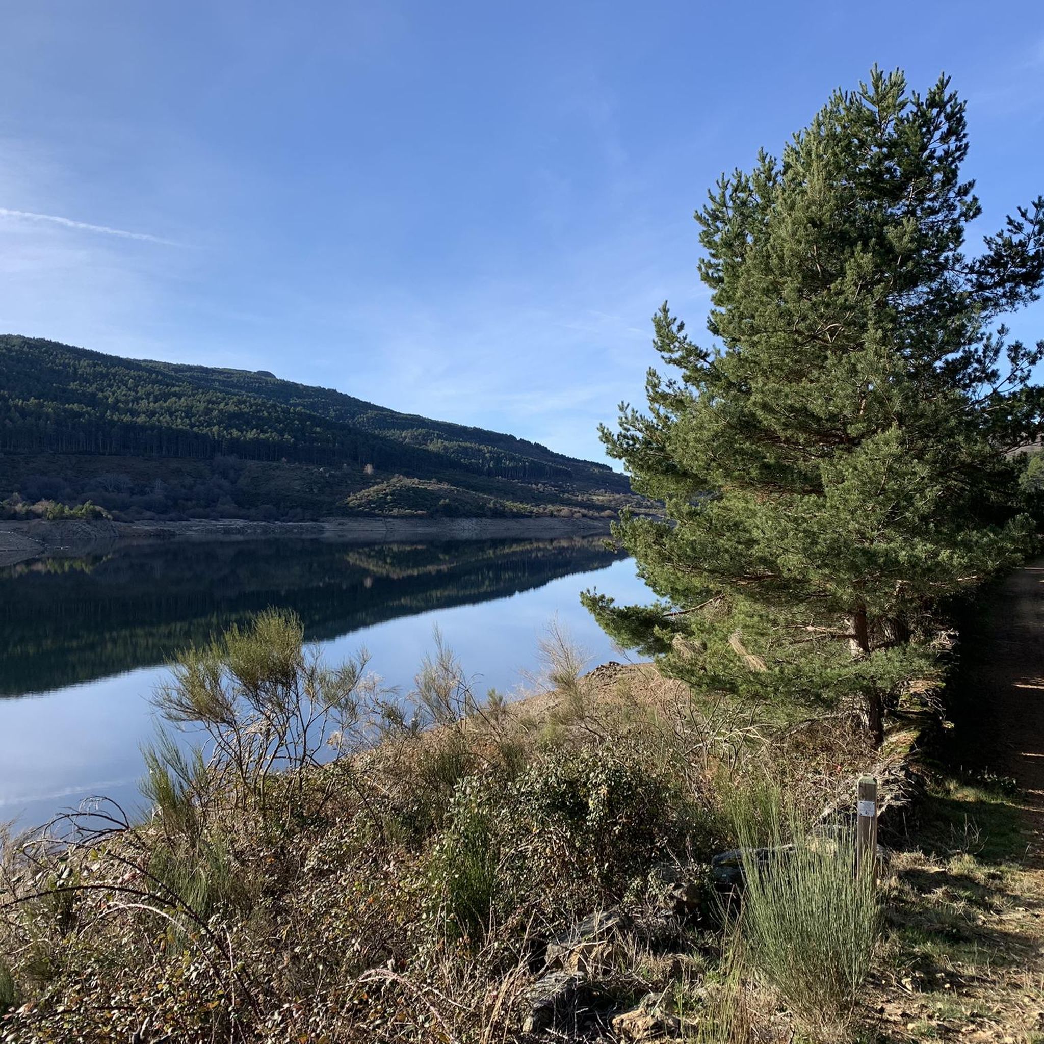
This beautiful stone bridge, which crosses over the Tres Cerros stream, is located in a spectacular setting. It is a much less crowded area than Los Pilones, and is part of the Carlos V hiking route. There are some pools of transparent water in which to relax your feet before continuing the march.
2
0

I wish more Spaniards bothered to know their own history to be able to combat this Hispanic phobia that we have been enduring for so many centuries but that today is especially vehement.
1
1

Beautiful castle that is located at the top of the town of El Barco de Ávila and that shows us the history that the town had in ancient times. On arrival at the town you can see the towers and walls.
0
0

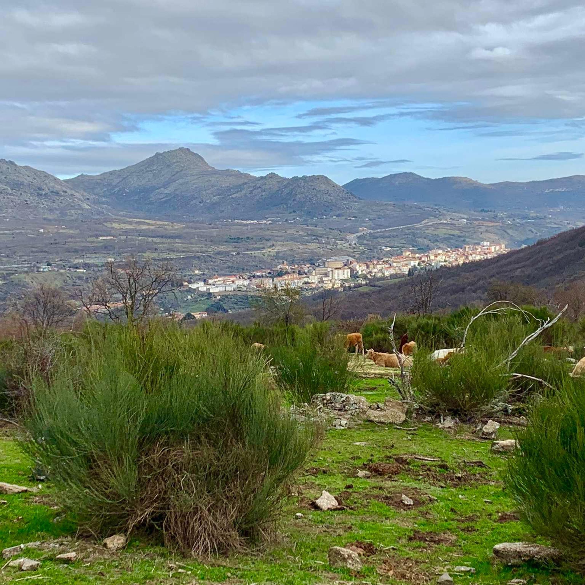
A very popular place in the area and with good reason it is. Next to the cross is the viewpoint that offers beautiful panoramic views of the entire Sierra de Béjar valley and the town below. A few meters away is the refuge and an area with tables to take a break and enjoy this wonderful place.
1
1
솔라나 데 리오알마르 주변에서 가장 인기 있는 명소


더 살펴보기
찾고 있는 하이라이트를 아직 못 찾으셨나요? 다른 지역의 주요 명소 가이드를 확인해보세요:
