산타 콜롬바 데 쿠루에뇨 최고의 라이딩 경로
3.8
(11)
777
자전거 타는 사람
31
라이딩
산타 콜롬바 데 쿠루에뇨의 로드 사이클링 경로를 찾으시나요? 그렇다면 산타 콜롬바 데 쿠루에뇨 로드 라이딩 컬렉션 중에서 가장 멋진 라이딩 장소를 아래에서 살펴보세요.
마지막 업데이트: 8월 25, 2026
4.0
(1)
65
자전거 타는 사람
80.0km
03:26
630m
630m
Cycle 49.7 miles (80.0 km) on this moderate road route from Vegas del Condado, exploring rural León and historical sites like Palacio de los
30
자전거 타는 사람
50.7km
02:30
780m
780m
보통 도로 자전거 타기. 좋은 체력 필요. 지면 대부분이 잘 포장되어 있고 라이딩하기 쉬움.

무료 회원 가입
24
자전거 타는 사람
65.5km
02:39
350m
350m
보통 도로 자전거 타기. 좋은 체력 필요. 지면 대부분이 잘 포장되어 있고 라이딩하기 쉬움.
22
자전거 타는 사람
96.5km
04:31
1,240m
1,240m
어려운 도로 자전거 타기. 우수한 체력 필요. 지면 대부분이 잘 포장되어 있고 라이딩하기 쉬움.
3.0
(1)
17
자전거 타는 사람
71.5km
03:17
780m
780m
보통 도로 자전거 타기. 좋은 체력 필요. 지면 대부분이 잘 포장되어 있고 라이딩하기 쉬움.
더 다양한 경로와 다른 탐험가들의 추천을 살펴보세요.
무료 회원 가입
이미 komoot 계정이 있나요?
투어 추천은 다른 사람들이 komoot에서 완료한 수천 개의 활동을 바탕으로 구성되어 있습니다.
오늘 무료 계정으로 시작하세요
다음 모험이 기다리고 있어요.
로그인 또는 가입하기
산타 콜롬바 데 쿠루에뇨 주변 인기 장소
커뮤니티 팁

Nocedo Waterfall, also known as Cola de Caballo Waterfall, is one of the most accessible and spectacular natural spots in the Central León Mountains, located near Nocedo de Curueño, in the municipality of Valdepiélago. Approximately 4 meters high, it was formed by the Valdecésar stream as it negotiates a steep drop on its way to the Curueño River.
4
0

La Collada de la Vid is a mountain pass located in the La Vid de Gordón area of León, Spain. It connects several villages and is part of historical and hiking trails in the area. Main features: • La Collada de la Vid is located near towns such as Buiza and Villasimpliz, and is part of traditional routes such as the Camino Real and the Northern Route of the Camino de Santiago to San Salvador de Oviedo. • In this area is the Hermitage of San Lorenzo, of historical and cultural significance, which opens its doors on August 10th for a pilgrimage. • The Las Colladas route from La Vid de Gordón is of medium difficulty, with a distance of approximately 12 km and an estimated time of 4 hours. • La Collada Villar, near La Vid, is a mountain pass with an ascent of about 3.3 km and an average gradient of about 7%, also used for cycling and hiking activities.
0
0
The Collada de Cármenes is a mountain pass located in the province of León, in the north-central area, near the town of Cármenes. Access and Routes • It can be ascended from two main slopes: • From Cármenes: 3.5 km route, with a vertical drop of 185 m and an average gradient of 5.24%. Maximum altitude: 1,337 m. • From Villamanín: 4.9 km route, a vertical drop of 200 m and an average gradient of 4.12%. Maximum altitude: 1,337 m
0
0
The Vegacervera Gorges are a protected natural area in the north of the province of León, Castile and León, Spain, near Asturias. • It is an impressive canyon carved by the Torío River, with limestone walls that exceed 100 meters in height and, in some sections, barely 15 meters wide. • The area encompasses municipalities such as Vegacervera, Cármenes, Matallana de Torío, and Valdepiélago.
0
0


Geologists group sedimented rocks into units called "formations", these are groups of rocks with a specific age and characteristics that can be recognized in the field and, therefore, represented on a geological map. Every formation has a reference outcrop, as representative and accessible as possible, known as a "stratotype." The stratotype of the La Vid Group is located in La Vid de Gordón, a set of four formations from the Devonian period that are named Felmin, La Pedrosa, Val Porquero and Coladilla. Each of them presents different types of rocks, as were the conditions in which they were formed. A tour of this stratotype. It allows us to verify that the Paleozoic seas were changing, due to the evidence that these changes have left in the rocks.
1
0

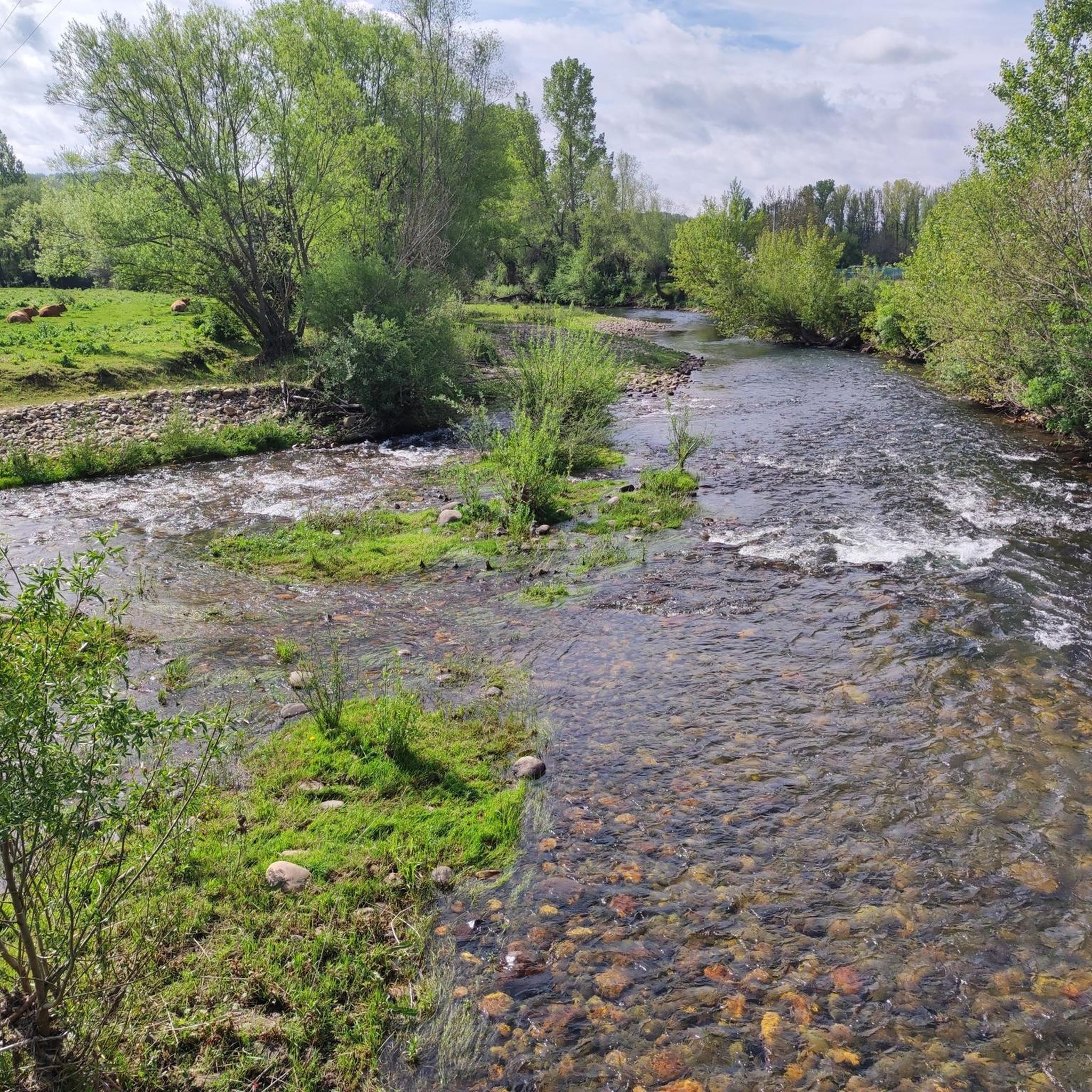
Quiet road that runs parallel to the Curueño River between Barrio de Nuestra Señora and La Vecilla
1
0

It is 50 meters from the road. It is accessed by some footbridges. Bike on the shoulder Please be calm: be discreet
0
0
산타 콜롬바 데 쿠루에뇨 주변에서 가장 인기 있는 명소


더 살펴보기
다른 지역의 최고의 로드 사이클링 경로를 살펴보세요.
