엘 폰 다르멘테라 최고의 워킹 & 하이킹 경로
4.7
(162)
1,138
등산객
80
하이킹
정확한 경로를 찾는 것이 때로는 어렵지만 엘 폰 다르멘테라에서 하이킹을 하면 다양한 경치를 마음껏 감상할 수 있답니다. 엘 폰 다르멘테라에서 가장 멋진 하이킹과 워킹 중에서 마음에 드는 활동을 시작해보세요.
마지막 업데이트: 10월 12, 2026
5.0
(9)
67
등산객
16.6km
04:37
300m
300m
보통 하이킹. 좋은 체력 필요. 실력과 관계없이 누구나 쉽게 갈 수 있는 길.
4.8
(12)
91
등산객
6.14km
01:39
70m
70m
초급용 하이킹. 모든 체력 수준에 적합. 실력과 관계없이 누구나 쉽게 갈 수 있는 길.

5.0
(3)
37
등산객
9.59km
02:36
130m
130m
보통 하이킹. 좋은 체력 필요. 실력과 관계없이 누구나 쉽게 갈 수 있는 길.
5.0
(1)
11
등산객
9.67km
02:36
120m
120m
보통 하이킹. 좋은 체력 필요. 실력과 관계없이 누구나 쉽게 갈 수 있는 길.
5.0
(1)
10
등산객
6.82km
02:15
260m
260m
보통 하이킹. 좋은 체력 필요. 대부분 갈 수 있는 길. 미끄러지지 않게 조심해야 함.
더 다양한 경로와 다른 탐험가들의 추천을 살펴보세요.
이미 komoot 계정이 있나요?
투어 추천은 다른 사람들이 komoot에서 완료한 수천 개의 활동을 바탕으로 구성되어 있습니다.
오늘 무료 계정으로 시작하세요
다음 모험이 기다리고 있어요.
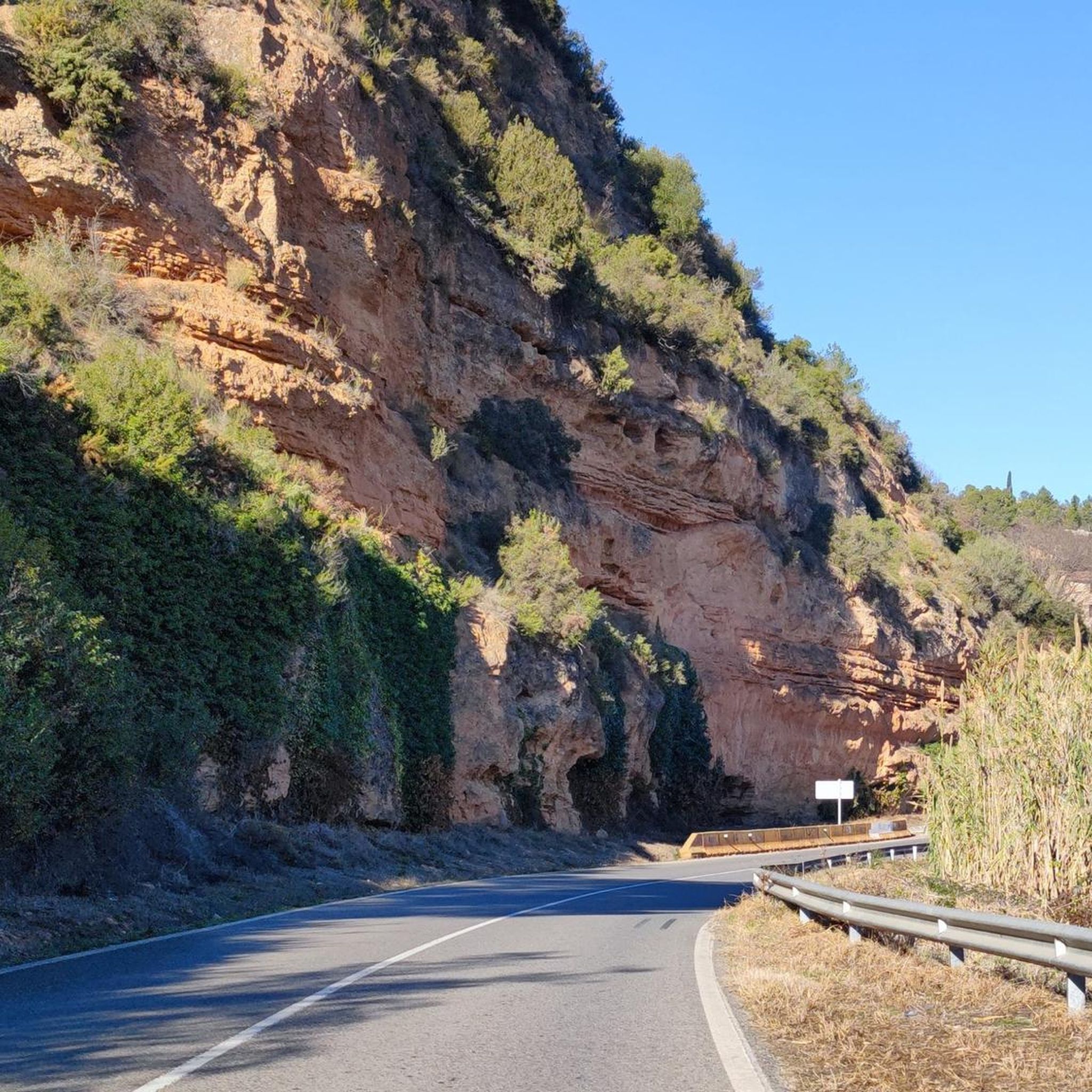
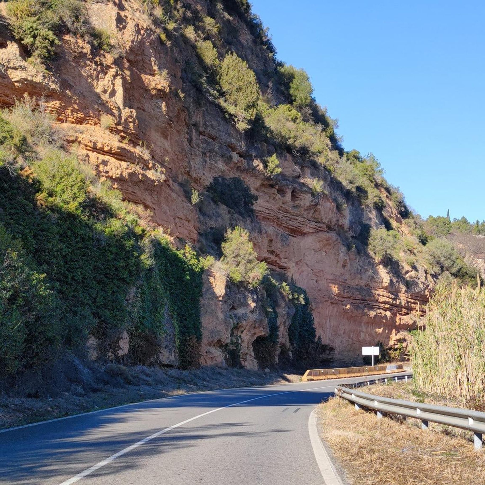
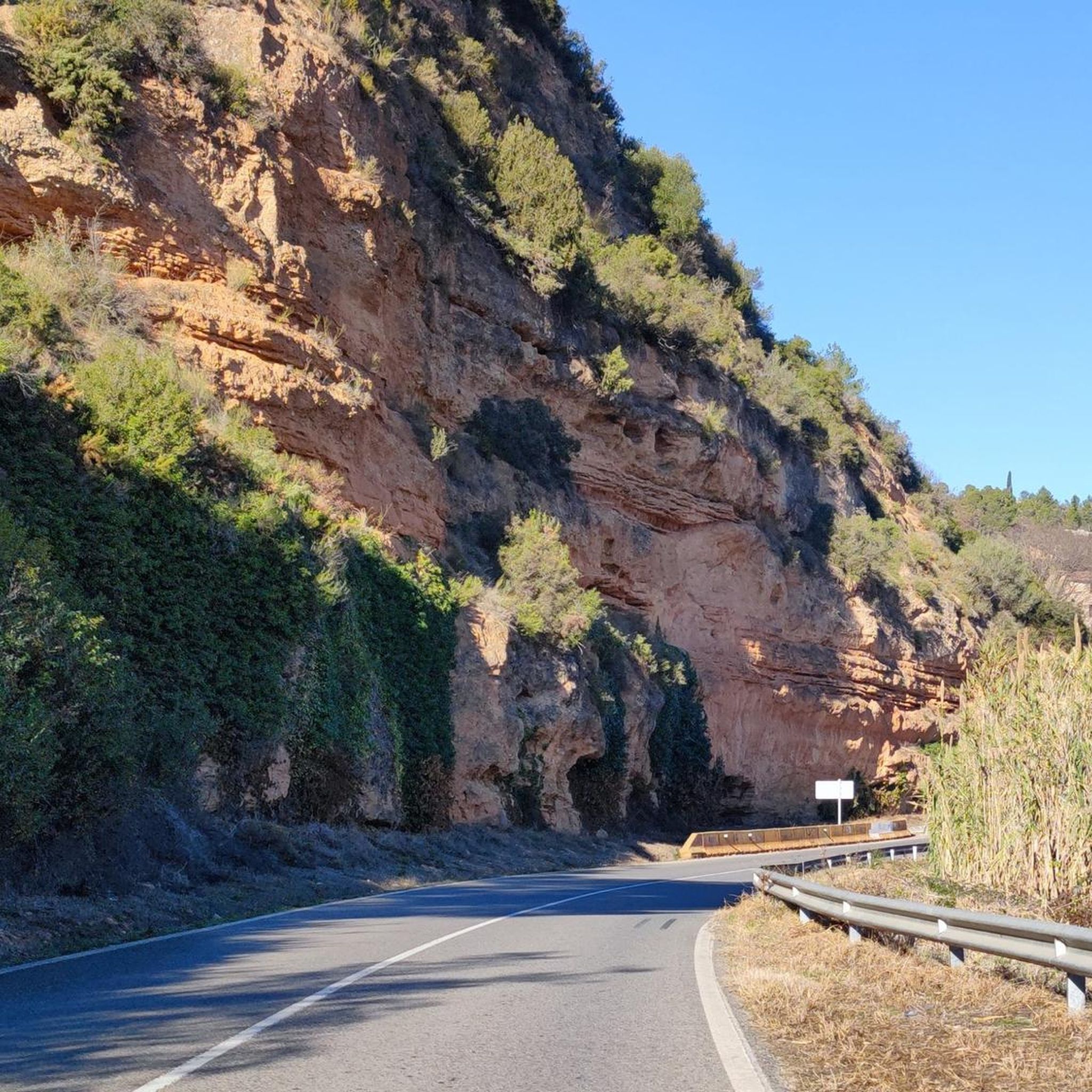
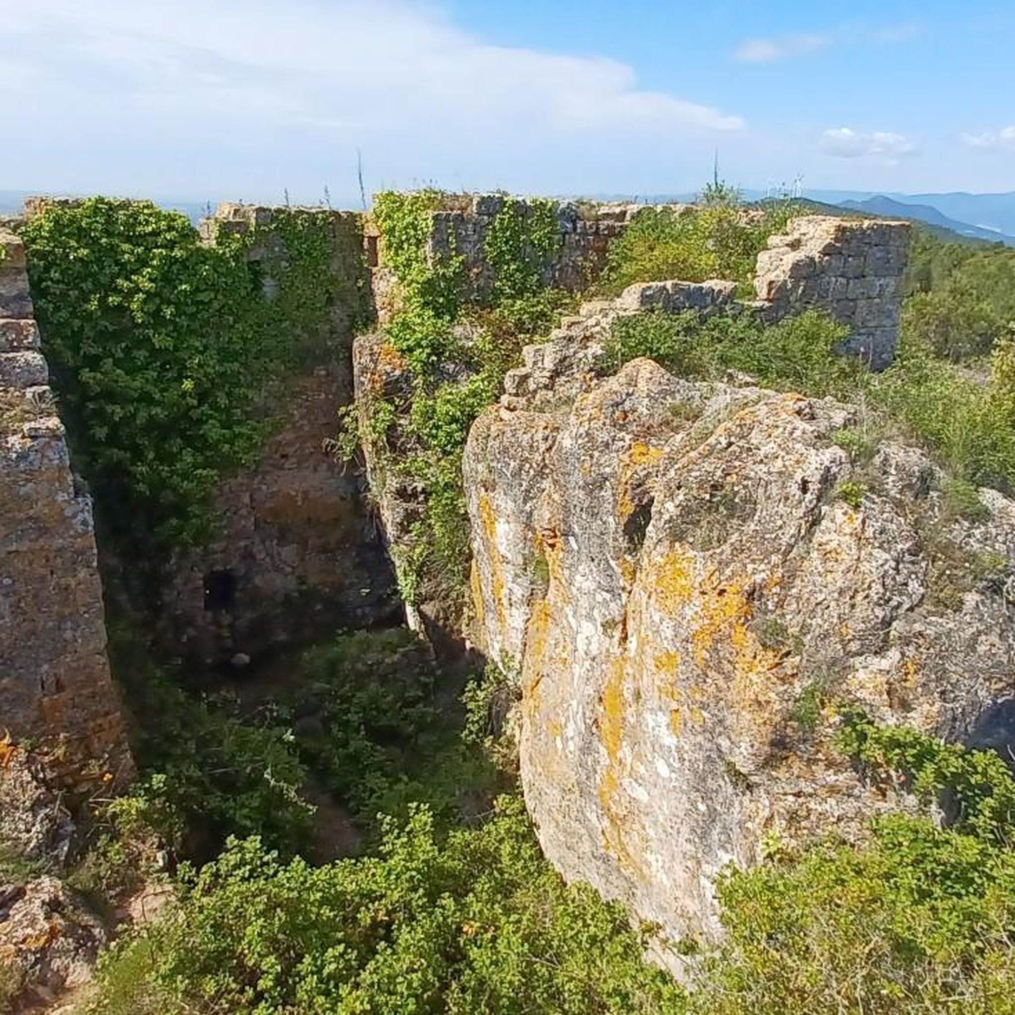

커뮤니티 팁

It's worth it, it's a Cistercian monastery
0
0

Yes, it is a summit with a selfie pole, for solo hikers without a tripod 😜
0
0


The Monastery of Santa María de Santes Creus is a Cistercian abbey built in the 12th century. The grandeur of the monastery is due to the donations received from the nobility who wanted to be buried here.
1
0

El Roc del Cogulló is one of the peaks of the Sierra de Comaverd, although with its 879 meters, it is not the highest of this mountain range, being the Cogulló de Cabra, located about 390 meters to the northeast. From the viewpoint you have a spectacular view of the Conca de Barberà region, with the plain of Poblet in the foreground and the Sierra del Tallat in the background.
1
0
Main square of the monastic precinct of the Santes Creus monastery, between the Assumpta portal and the main façade of the church. It is surrounded by a group of buildings decorated with sgraffito that had been part of the monastery (hospital, monks' homes, etc.). In the middle of the square is the Sant Bernat Calvo fountain, built in the 18th century, the time when the square acquired its current structure.
0
0
Pont d'Armentera is a town in the Alt Camp region (Tarragona) that has a long history. Of Roman origin, the first settlers settled when the aqueduct that fed the ancient Roman city of Tarraco (modern Tarragona) was built. In the northwest of the town there is a very well preserved Roman aqueduct (known as Pont de les Femades and restored in the 18th century) that carried the waters of the Gaià to Tarraco. This use of the waters of the Gaià reached the streets of the town, where various canals were built to feed both the important textile industry that developed from the 14th century onwards and the wheat mills.
1
0

Entertaining route that runs parallel to the river Gaià. The path is easy to do and has practically no complications, perhaps there will only be a couple of steps that can be a bit difficult and can be passed without problems, which would be the first walkway (where I go down the planks of about 50cm wide and supported on some "nails" sunk into the wall) with a rope to help us cross this first short section of footbridges and the first bridge with a length of about 15m (also with a width of about 50cm) that crosses the river Gaià, at about 2/3m above the river (which does not have any type of handrail, cable or rope to help cross it). From this point, continue very well until the fork to the right and to the left of the path (the route has been changed, and now to the left you reach the end of the path) and until you reach the fork, there are a couple of more sections of walkways but easy to pass where aided by the ropes will not pose any problem.
2
0
엘 폰 다르멘테라 주변에서 가장 인기 있는 명소


더 살펴보기
다른 지역의 최고의 하이킹를 살펴보세요.
