산타 에우랄리아 바헤라 최고의 라이딩 경로
4.5
(2)
636
자전거 타는 사람
34
라이딩
산타 에우랄리아 바헤라의 로드 사이클링 경로를 찾으시나요? 그렇다면 산타 에우랄리아 바헤라 로드 라이딩 컬렉션 중에서 가장 멋진 라이딩 장소를 아래에서 살펴보세요.
마지막 업데이트: 9월 4, 2026
38
자전거 타는 사람
65.7km
03:19
1,050m
1,060m
어려운 도로 자전거 타기. 우수한 체력 필요. 지면 대부분이 잘 포장되어 있고 라이딩하기 쉬움.
38
자전거 타는 사람
54.5km
02:26
500m
500m
Cycle 33.9 miles (54.5 km) from Arnedo to Autol, exploring the Cidacos Valley and the unique El Picuezo y la Picueza rock formations.

7
자전거 타는 사람
21.9km
01:00
260m
260m
An easy 13.6-mile (21.9 km) road cycling loop along the Cidacos River, featuring the Red Cliffs of Herce and valley views.
11.6km
00:33
150m
140m
This easy 7.2-mile (11.6 km) circular road cycling route from Préjano offers scenic views of the Cidacos River Valley in La Rioja.
50
자전거 타는 사람
52.9km
02:20
480m
480m
보통 도로 자전거 타기. 좋은 체력 필요. 지면 대부분이 잘 포장되어 있고 라이딩하기 쉬움.
더 다양한 경로와 다른 탐험가들의 추천을 살펴보세요.
이미 komoot 계정이 있나요?
투어 추천은 다른 사람들이 komoot에서 완료한 수천 개의 활동을 바탕으로 구성되어 있습니다.
오늘 무료 계정으로 시작하세요
다음 모험이 기다리고 있어요.
커뮤니티 팁

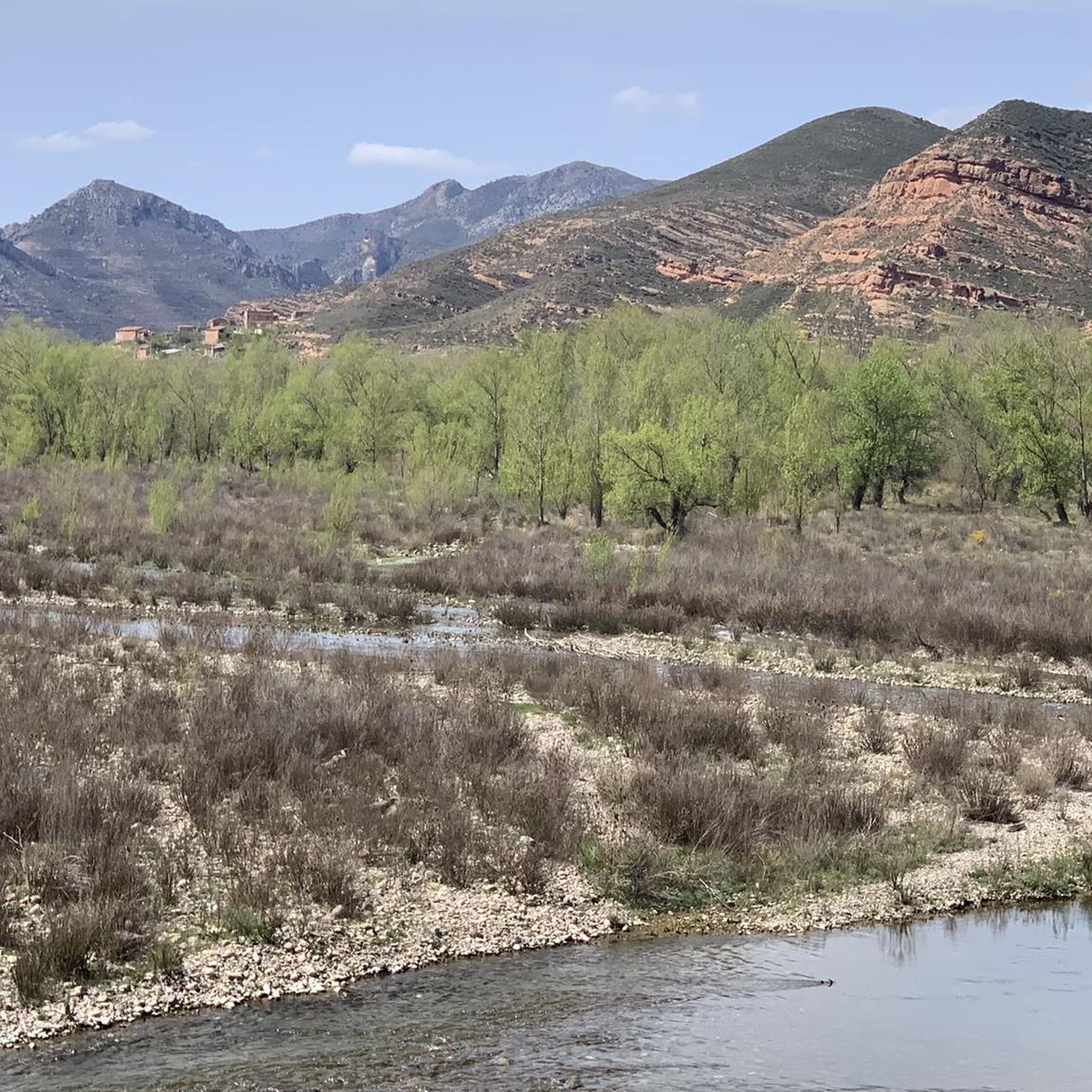
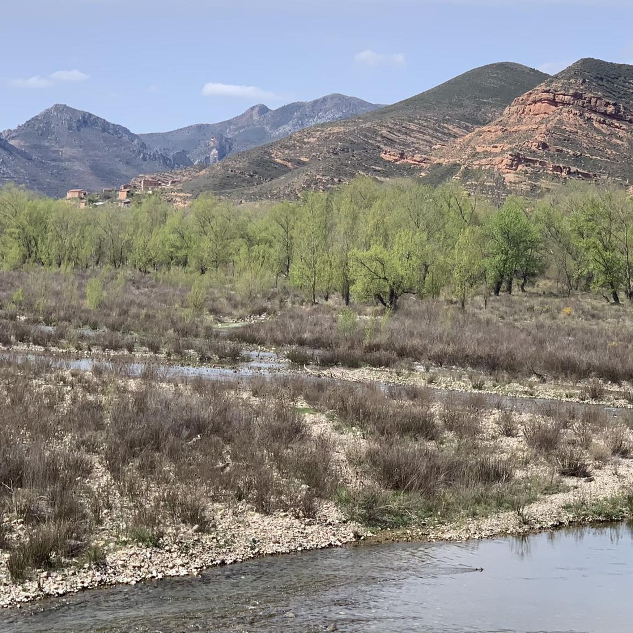
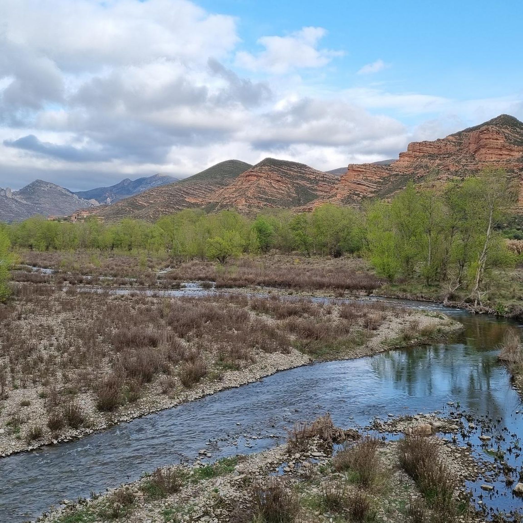
Beautiful views of the banks of the Cidacos.
0
0

Famous for its Cuevas del Ajedrezado caves, the LR-115 highway passes through Santa Eulalia Somera and Santa Eulalia Bajera with the impressive sheer rock as a guide.
0
0
The L-382 road runs along the gravel route of the Greenway before disappearing into a short tunnel. There is a nice wooden viewpoint over the valley.
0
0
Riding through the valley of the Cidacos River between the mountains of Bergasa and Cabimonteros with its dominant red rock towering above you.
0
0

Enciso has been declared a Biosphere Reserve by UNESCO because 3,000 dinosaur footprints have been found here. This paleo-adventure park shows you interactively how these prehistoric animals lived millions of years ago. It also has swimming pools, geysers, adventure circuits, a climbing wall, a restaurant and two cafeterias.
0
0
Enciso is located in a mountainous area of the Iberian system and is crossed by the Cidacos River. In the town there are more than 3,000 dinosaur footprints and it has a paleontological center with information on how they were formed.
0
0
Munilla is located at the foot of the Sierras de la Hez, Hayedo de Santiago and Cameros Viejos. It is famous for the many footprint sites found in its vicinity (around 900). The most important are those of "Peñaportillo" and "La Canal", which are 2 kilometers from Munilla and are easily accessible.
0
0

Above the cemetery, it is restored but I couldn't find a way to enter.
2
0
산타 에우랄리아 바헤라 주변에서 가장 인기 있는 명소


더 살펴보기
다른 지역의 최고의 로드 사이클링 경로를 살펴보세요.
