아무리오 최고의 러닝 경로
4.8
(10)
622
달리기 하는 사람
26
러닝
아무리오에서 하이킹하며 칸타브리카 구석 부분까지 살펴볼까요? 아무리오에 있는 모든 하이킹 및 워킹 경로 컬렉션 중 가장 멋진 하이킹 경로를 엄선하여 소개해드릴게요. 다른 하이커가 공유한 실제 팁과 사진을 살펴보고 후기를 읽으며 마음에 드는 아무리오 워킹 경로를 찾아보세요.
마지막 업데이트: 10월 10, 2026
5.0
(1)
24
달리기 하는 사람
9.89km
01:16
340m
340m
어려운 조깅. 우수한 체력 필요. 대부분 포장된 지면. 실력과 관계없이 누구나 갈 수 있음.
18
달리기 하는 사람
30.7km
04:49
1,490m
1,490m
어려운 조깅. 우수한 체력 필요. 튼튼한 신발을 신고 미끄러지지 않게 조심해야 하며, 높은 산을 오른 경험이 있어야 함.

14
달리기 하는 사람
17.5km
02:13
600m
600m
어려운 조깅. 우수한 체력 필요. 대부분 포장된 지면. 실력과 관계없이 누구나 갈 수 있음.
10
달리기 하는 사람
8.56km
00:55
70m
70m
보통 조깅. 좋은 체력 필요. 대부분 포장된 지면. 실력과 관계없이 누구나 갈 수 있음.
9
달리기 하는 사람
6.91km
00:43
50m
50m
보통 조깅. 좋은 체력 필요. 대부분 포장된 지면. 실력과 관계없이 누구나 갈 수 있음.
더 다양한 경로와 다른 탐험가들의 추천을 살펴보세요.
이미 komoot 계정이 있나요?
투어 추천은 다른 사람들이 komoot에서 완료한 수천 개의 활동을 바탕으로 구성되어 있습니다.
오늘 무료 계정으로 시작하세요
다음 모험이 기다리고 있어요.

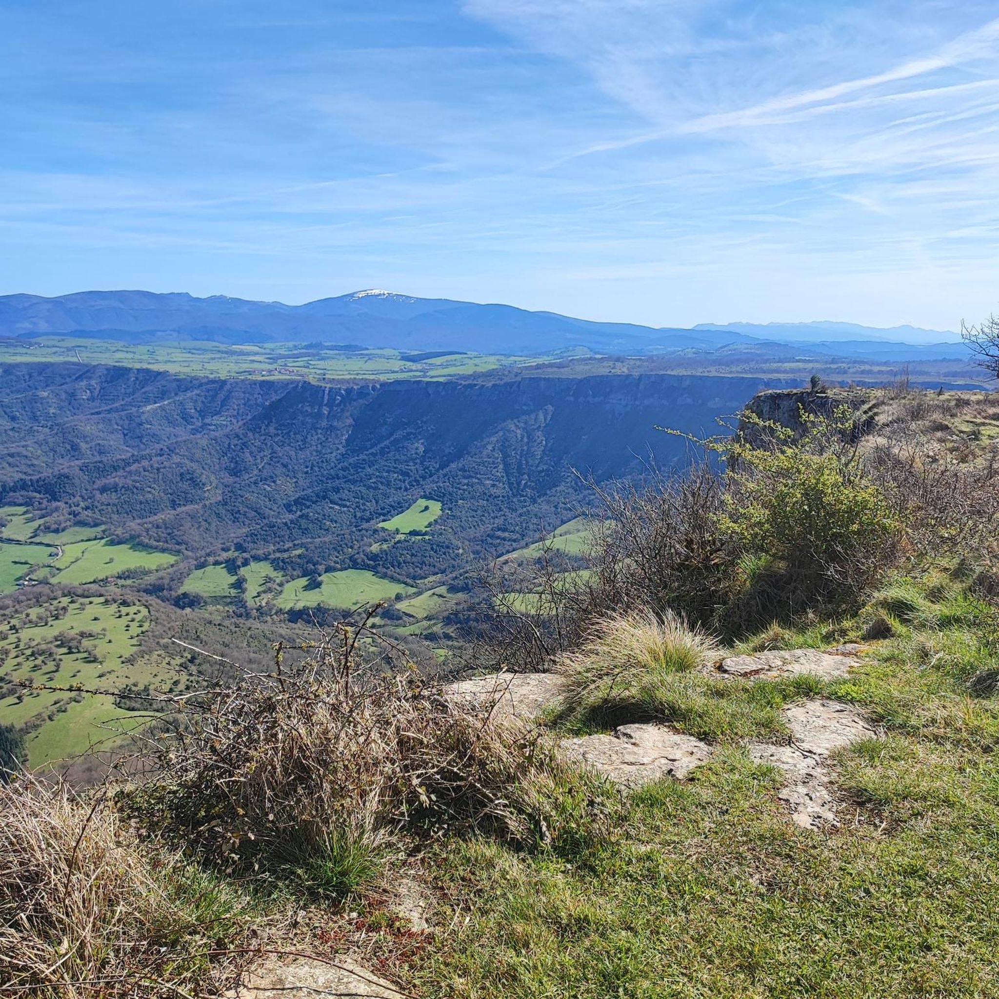
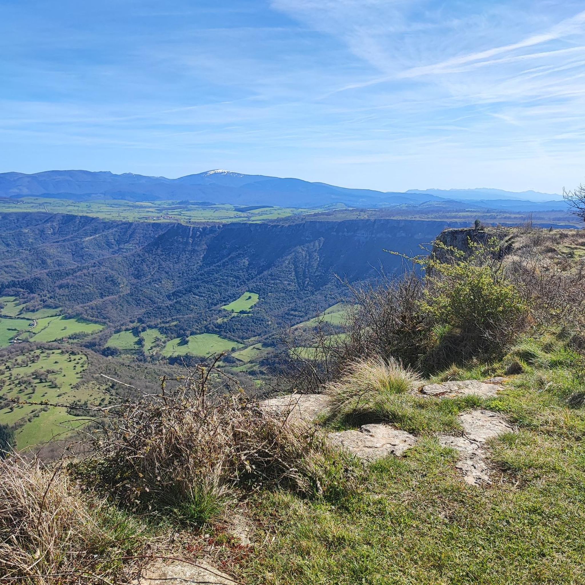
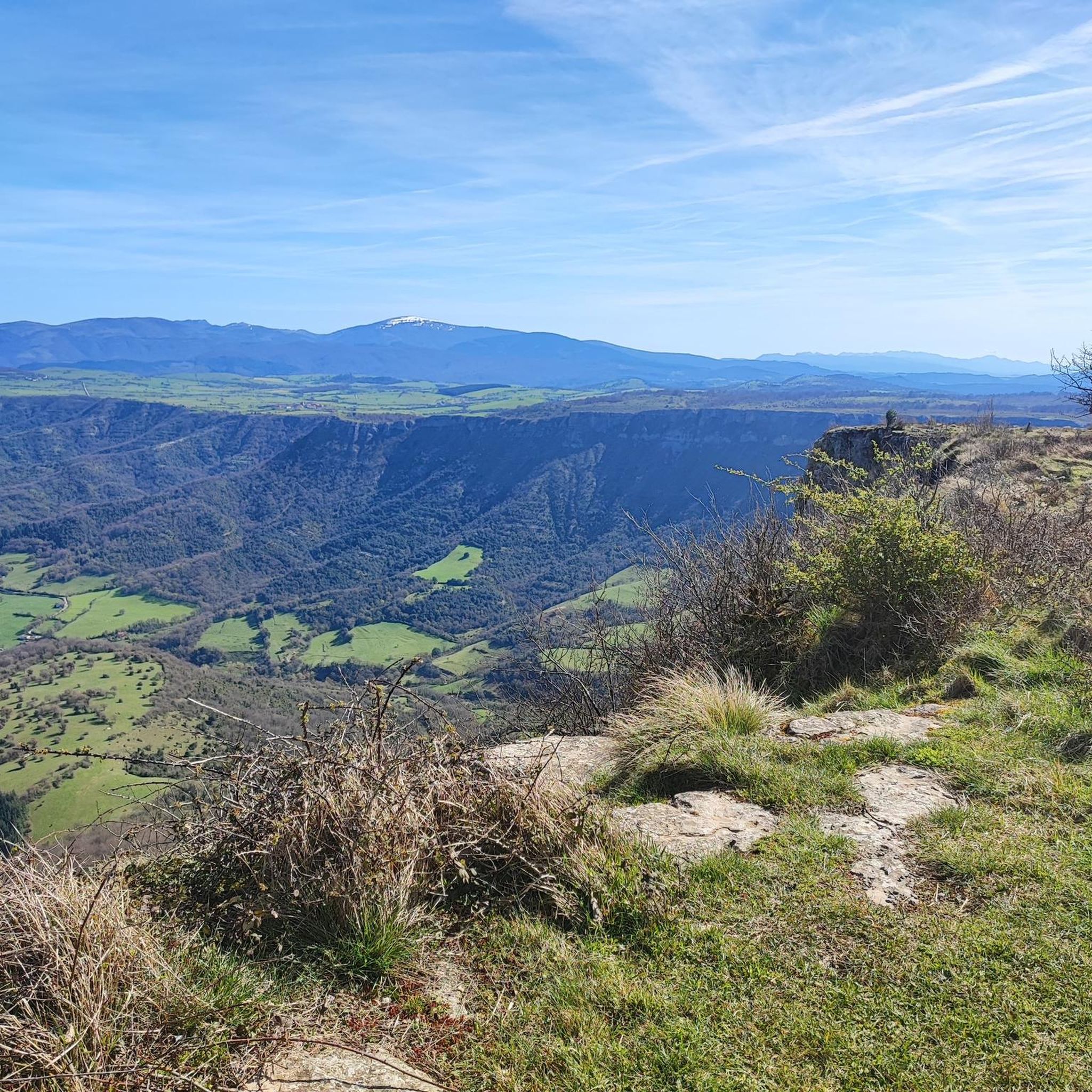
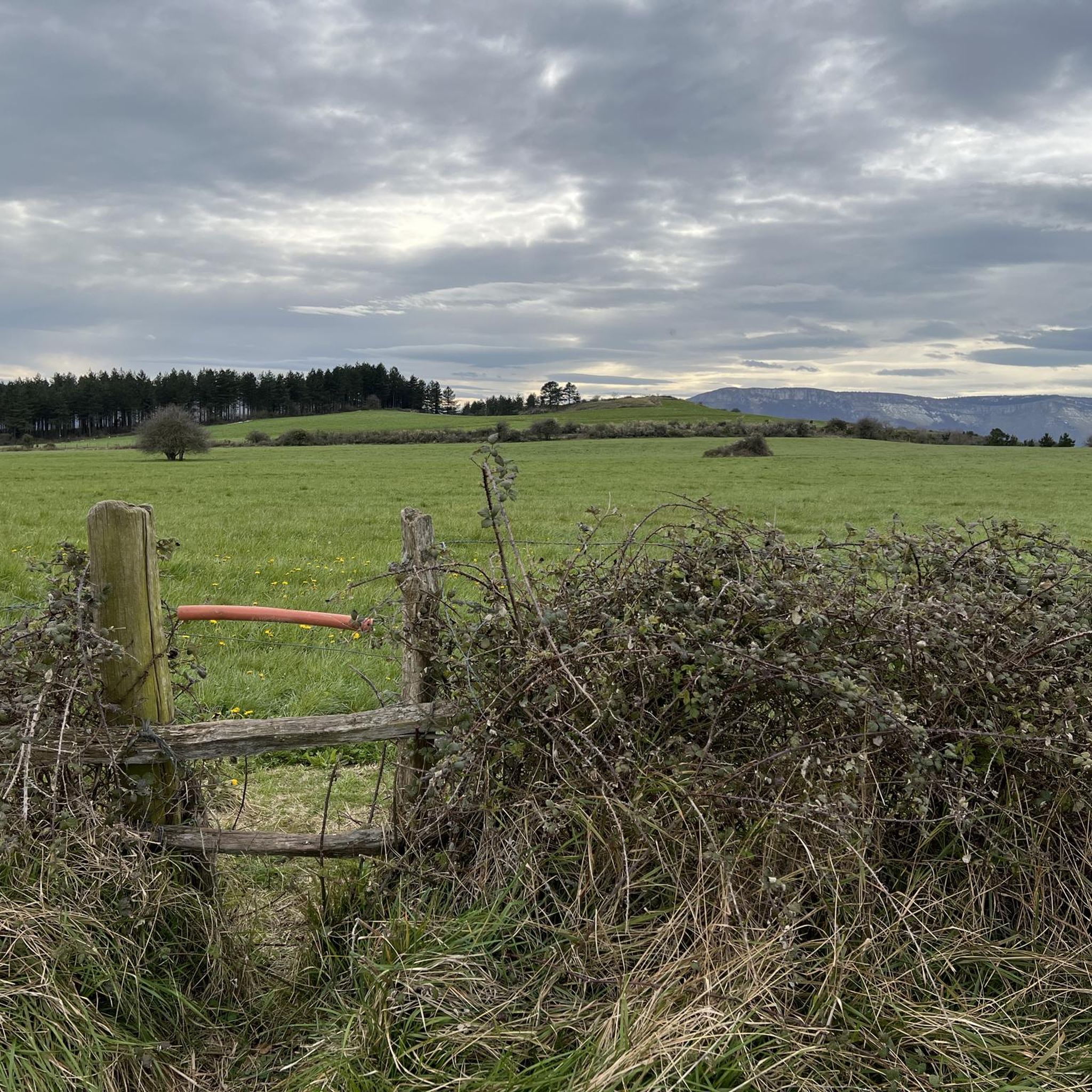


아무리오 주변의 다른 모험

커뮤니티 팁

A fantastic waterfall, if the Rio Nervión is flowing. If not, the viewpoint is still spectacular.
2
0

Amurrio was traditionally known as "El Crucero," a meeting point for routes between Castile and the Cantabrian ports. In the town center, the Ugarte Tower House (18th century), now the Cultural Center, the San Antón de Armuru Chapel (16th century), and the Church of Santa María with its 25-bell carillon, one of the largest in the Basque Country, stand out.
0
0

Unfortunately, the Nervión has no water today, 2.5.25, so the spectacular waterfall was only a viewpoint in the canyon
4
0

The Mirador is spectacular but not a drop of water from the waterfall when I went. Of course, I heard the water but I didn't see anything. The cuts are very worth it
2
0

Impressive viewpoint, especially if the waterfall carries water, something that doesn't happen much.
6
0

The Nervión waterfall, with its 222 meter drop, is the highest waterfall in the Iberian Peninsula. This impressive waterfall is located in the natural monument of Monte Santiago, in the province of Álava. It is a seasonal waterfall, since it only drops water in the thaw season or in heavy rain.
5
1

Beautiful Álava population located in the Ayala gang. Also known as "El crucero", since in the past it communicated the lands of Castilla with the important ports of the Cantabrian Sea. Among its main tourist and cultural attractions are the hermitage of San Antón, built in the 16th century; the Aresketamendi Open Air Museum or the Bicycle Museum.
0
0

A spectacular waterfall, it is impressive, it gives vertigo
3
1
아무리오 주변에서 가장 인기 있는 명소


더 살펴보기
다른 지역의 최고의 러닝 트레일 & 경로를 살펴보세요.
