살렘 최고의 워킹 & 하이킹 경로
4.6
(373)
2,128
등산객
83
하이킹
정확한 경로를 찾는 것이 때로는 어렵지만 살렘에서 하이킹을 하면 다양한 경치를 마음껏 감상할 수 있답니다. 살렘에서 가장 멋진 하이킹과 워킹 중에서 마음에 드는 활동을 시작해보세요.
마지막 업데이트: 10월 25, 2026
5.0
(1)
11
등산객
18.3km
06:46
770m
770m
어려운 하이킹. 우수한 체력 필요. 튼튼한 신발을 신고 미끄러지지 않게 조심해야 하며, 높은 산을 오른 경험이 있어야 함.
3.0
(1)
13
등산객
20.0km
07:44
960m
960m
어려운 하이킹. 우수한 체력 필요. 튼튼한 신발을 신고 미끄러지지 않게 조심해야 하며, 높은 산을 오른 경험이 있어야 함.

12
등산객
13.6km
04:57
540m
540m
어려운 하이킹. 좋은 체력 필요. 튼튼한 신발을 신고 미끄러지지 않게 조심해야 하며, 높은 산을 오른 경험이 있어야 함.
4.0
(3)
8
등산객
10.3km
03:41
440m
440m
보통 하이킹. 좋은 체력 필요. 대부분 걸을 수 있는 길. 안정적인 보행이 필요함.
6
등산객
8.75km
03:10
390m
390m
보통 하이킹. 좋은 체력 필요. 대부분 걸을 수 있는 길. 안정적인 보행이 필요함.
더 다양한 경로와 다른 탐험가들의 추천을 살펴보세요.
이미 komoot 계정이 있나요?
투어 추천은 다른 사람들이 komoot에서 완료한 수천 개의 활동을 바탕으로 구성되어 있습니다.
오늘 무료 계정으로 시작하세요
다음 모험이 기다리고 있어요.


커뮤니티 팁

This refrigerator, more than eight meters deep, was used between the 16th and 19th centuries for the ice trade in the Valencian Community. Although the structure is missing the semicircular arches that supported the roof, it is still an archaeological wonder worth visiting.
3
0
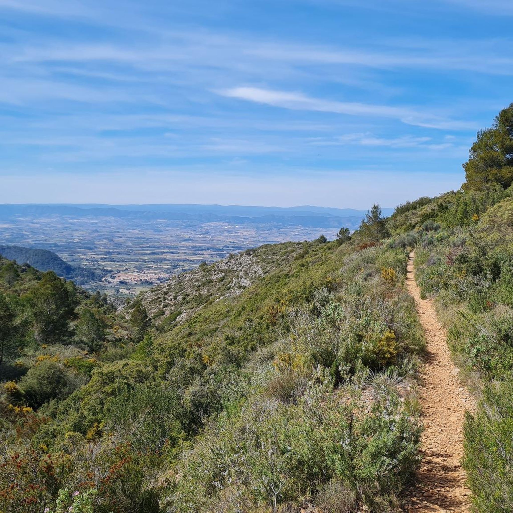
The remains of the castle are hidden among the vegetation, but one of its walls can still be seen at the top of the hill. This is a magical and very special corner. You are at one of the highest points of the mountains that separate the Serpis valley and the Albaida valley. Take a seat and enjoy unbeatable views.
1
0

Both Garmin and Google Maps route me to this hiking trail covered with rocks and boulders. I had to push my loaded 30+kg touring bike up the hill in the dark. Highly not recommended for cyclists, even cyclocross.
1
0

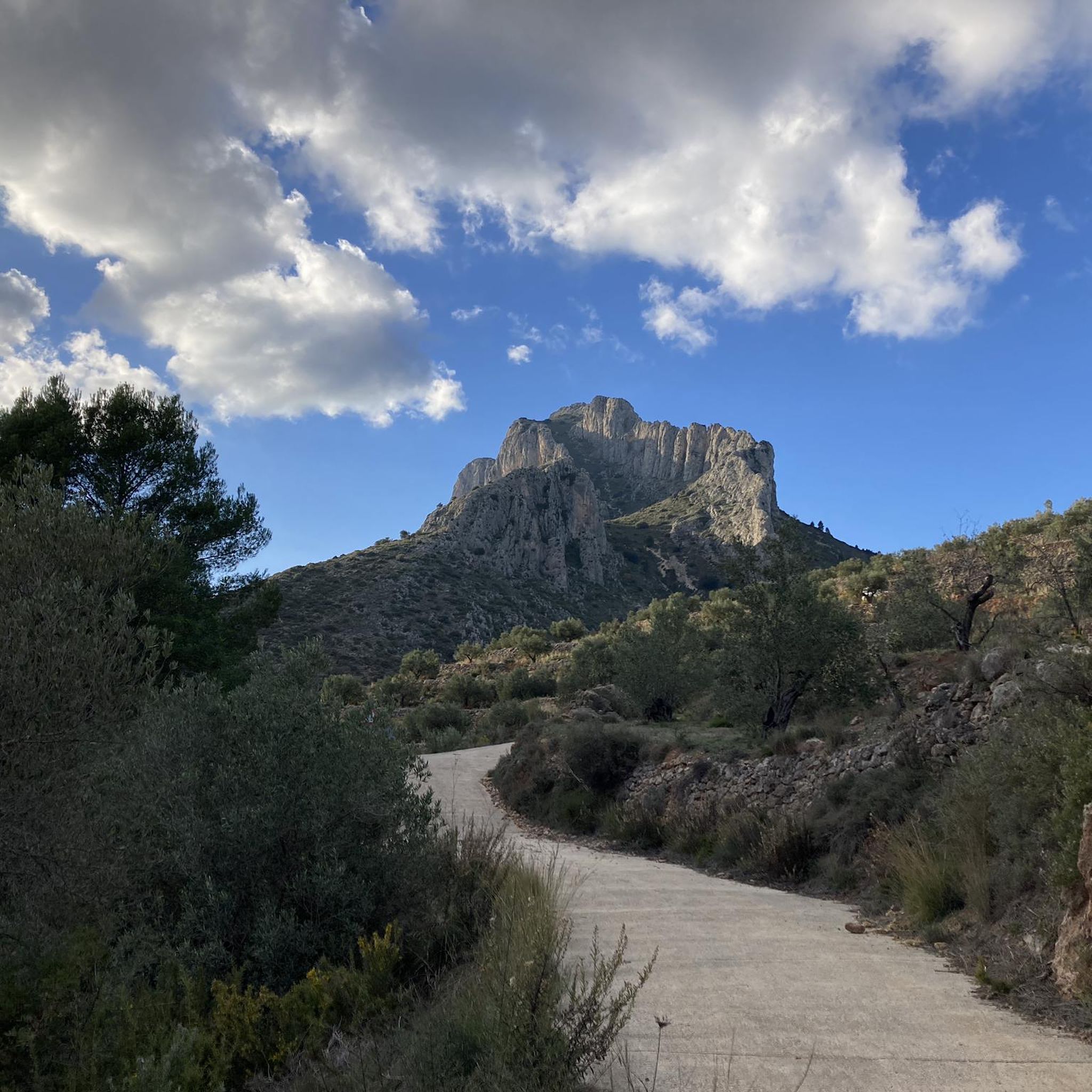
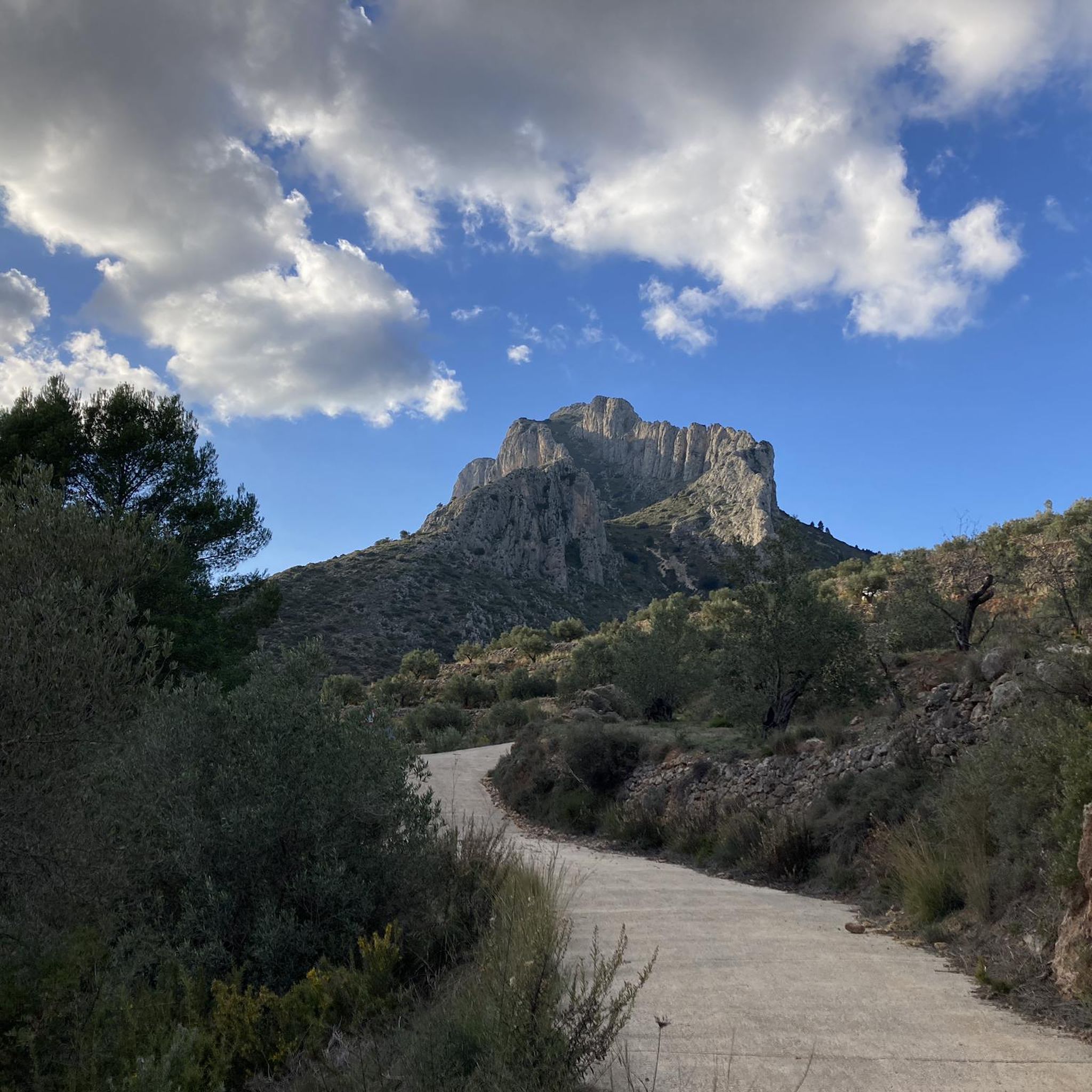
Top of Benicadell with incredible views in all directions. Going up from the Ombría path, it is an ascent with some technical difficulty but it can be reached without problems, especially when descending, with caution. Undoubtedly a point to visit for those who like views from the top!
3
0

Beautiful views from the Alt del Benicadell and the geodesic point.
9
2
The activity of artificial cellars has been known since Roman times. Their development took place between the 16th and 19th centuries and they were used until the middle of the 19th century, when, with the appearance of electrical appliances, they fell into disuse.
9
0
Place with the possibility of parking the car and from there start the path bordering Benicadell both by bike and walking
3
0

following this path to meet up with the other one is fairly straught forward. The last 20 minutes gets loose, steep and as you get to the bottom of the ridge you will notice some red wire to help assist your step down. The lath looks to carry on down, it doesn't it actually crossed the rocky steps. One up and over the 'nose' of the ridge you will see your original path up between the Gully.
0
0


더 살펴보기
다른 지역의 최고의 하이킹를 살펴보세요.
