발말라 최고의 러닝 경로
5.0
(1)
371
달리기 하는 사람
27
러닝
발말라에서 하이킹하며 디멘다 구석 부분까지 살펴볼까요? 발말라에 있는 모든 하이킹 및 워킹 경로 컬렉션 중 가장 멋진 하이킹 경로를 엄선하여 소개해드릴게요. 다른 하이커가 공유한 실제 팁과 사진을 살펴보고 후기를 읽으며 마음에 드는 발말라 워킹 경로를 찾아보세요.
마지막 업데이트: 10월 15, 2026
29
달리기 하는 사람
14.6km
02:47
1,090m
1,090m
This difficult 9.1-mile jogging loop to Pico San Millán offers challenging climbs, diverse forests, and panoramic views in Sierra de la Dema
35
달리기 하는 사람
24.1km
03:59
1,310m
1,310m
어려운 조깅. 우수한 체력 필요. 튼튼한 신발을 신고 미끄러지지 않게 조심해야 하며, 높은 산을 오른 경험이 있어야 함.

22
달리기 하는 사람
20.5km
02:31
870m
870m
어려운 조깅. 우수한 체력 필요. 튼튼한 신발을 신고 미끄러지지 않게 조심해야 하며, 높은 산을 오른 경험이 있어야 함.
15
달리기 하는 사람
47.4km
07:42
2,770m
2,770m
어려운 조깅. 우수한 체력 필요. 튼튼한 신발을 신고 미끄러지지 않게 조심해야 하며, 높은 산을 오른 경험이 있어야 함.
9
달리기 하는 사람
21.2km
03:04
1,060m
1,060m
어려운 조깅. 우수한 체력 필요. 튼튼한 신발을 신고 미끄러지지 않게 조심해야 하며, 높은 산을 오른 경험이 있어야 함.
더 다양한 경로와 다른 탐험가들의 추천을 살펴보세요.
이미 komoot 계정이 있나요?
투어 추천은 다른 사람들이 komoot에서 완료한 수천 개의 활동을 바탕으로 구성되어 있습니다.
오늘 무료 계정으로 시작하세요
다음 모험이 기다리고 있어요.
발말라 주변 인기 장소

커뮤니티 팁

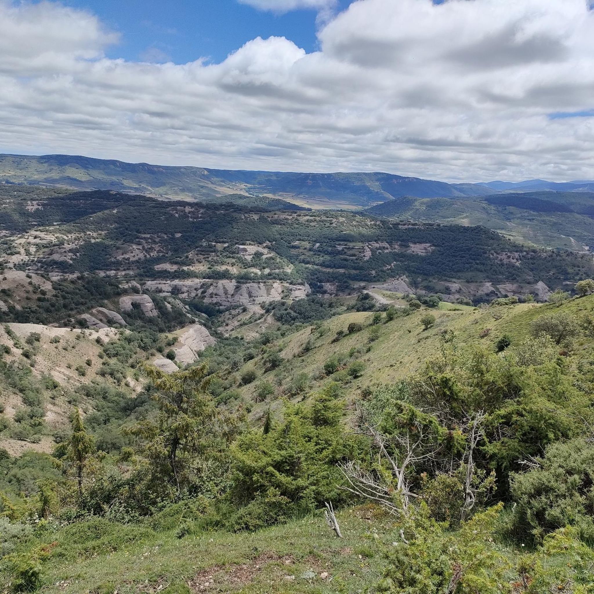
El Mencilla는 이베리아 산맥 내 Sierra de la Demanda의 일부인 Sierra de Mencilla의 가장 높은 봉우리입니다. 해발 1932미터의 고도와 532미터의 돌출부로, 같은 이름의 산맥에 이름을 부여합니다. Sierra de la Demanda 자연 공간에 위치하며, 부르고스 주의 Sierra de la Demanda 지역의 일부인 Pineda de la Sierra와 Tinieblas de la Sierra의 지방 자치 단체 경계가 이곳에서 만납니다.
0
0


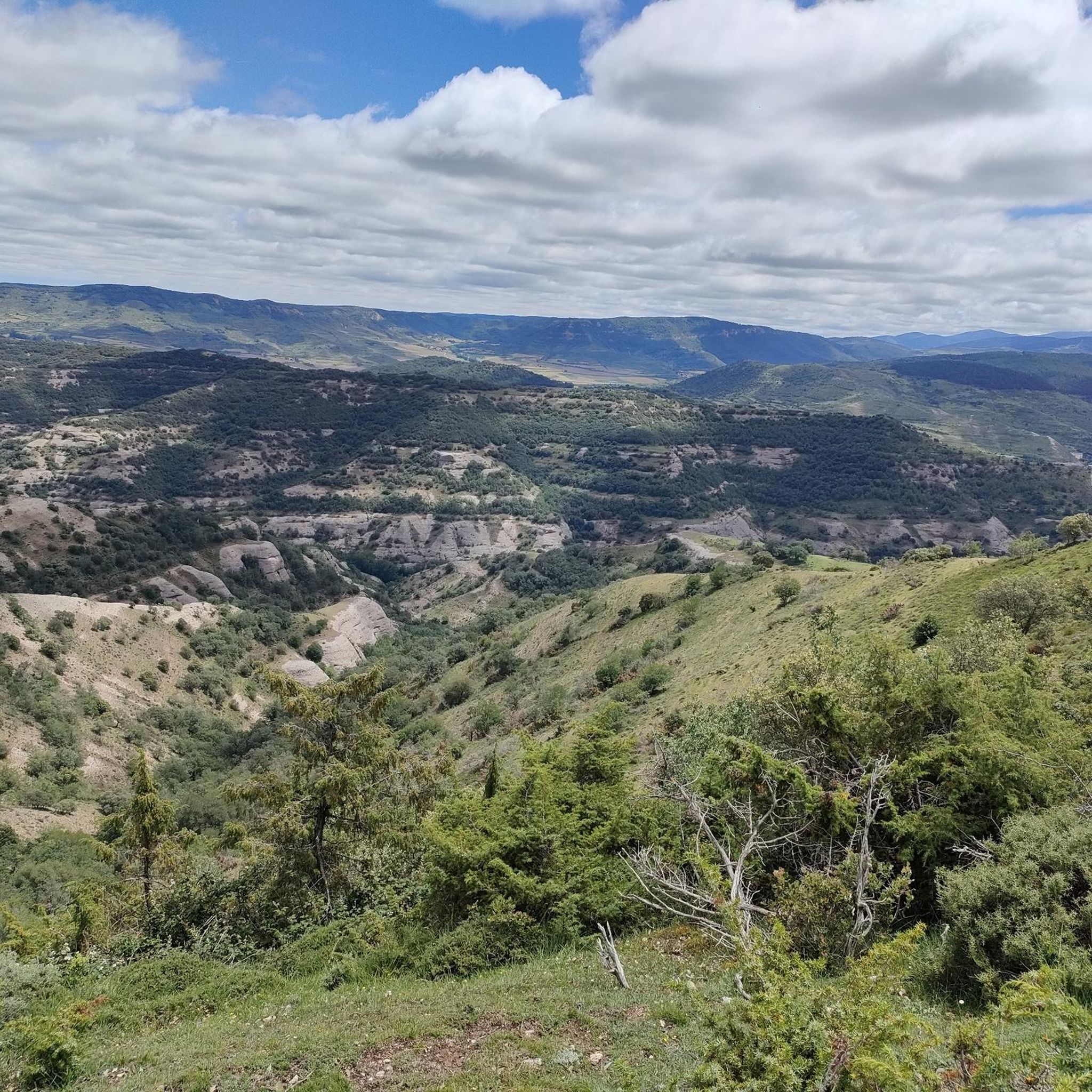
The path leaves El Portillo on the east side, goes up a few meters along a channel and enters the north side. If the mountain has snow, this section is dangerous because the cold and shady conditions keep the path icy and the fall is fatal; crampons and ice axes would be essential. The alternative is to climb directly along the channel on the east face, with less slope, sunnier and direct to the summit of San Millán (2,131 m), also called El Torruco. At the top there is a small circular stone tower adorned with a metal house and other festival motifs left by mountaineers. The southern slope of the mountain is a large mass of gentle slopes with no remains of glacial activity towards the valley of the Arlanzón River. The descent continues along the west face, enjoying extraordinary views of the Urbión River valley and the glacial cirque where the San Millán lagoon appears half frozen.
0
0

From the top of Pico Mencilla, you can see Pico Trigaza and San Millan
2
0

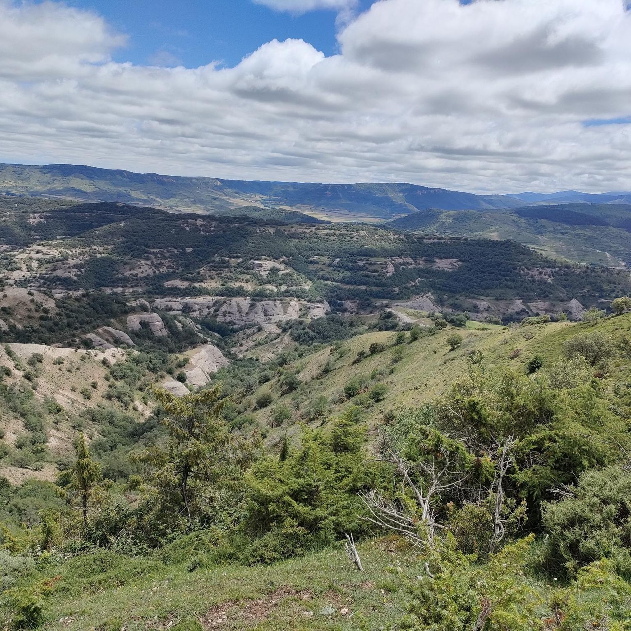
The Alto de la Garrula is a halfway point from where the Sendero de las Cascadas leaves and where you can take the direction towards the highest mountains of the Sierra de la Demanda, as is the case with Pico Millán.
0
0
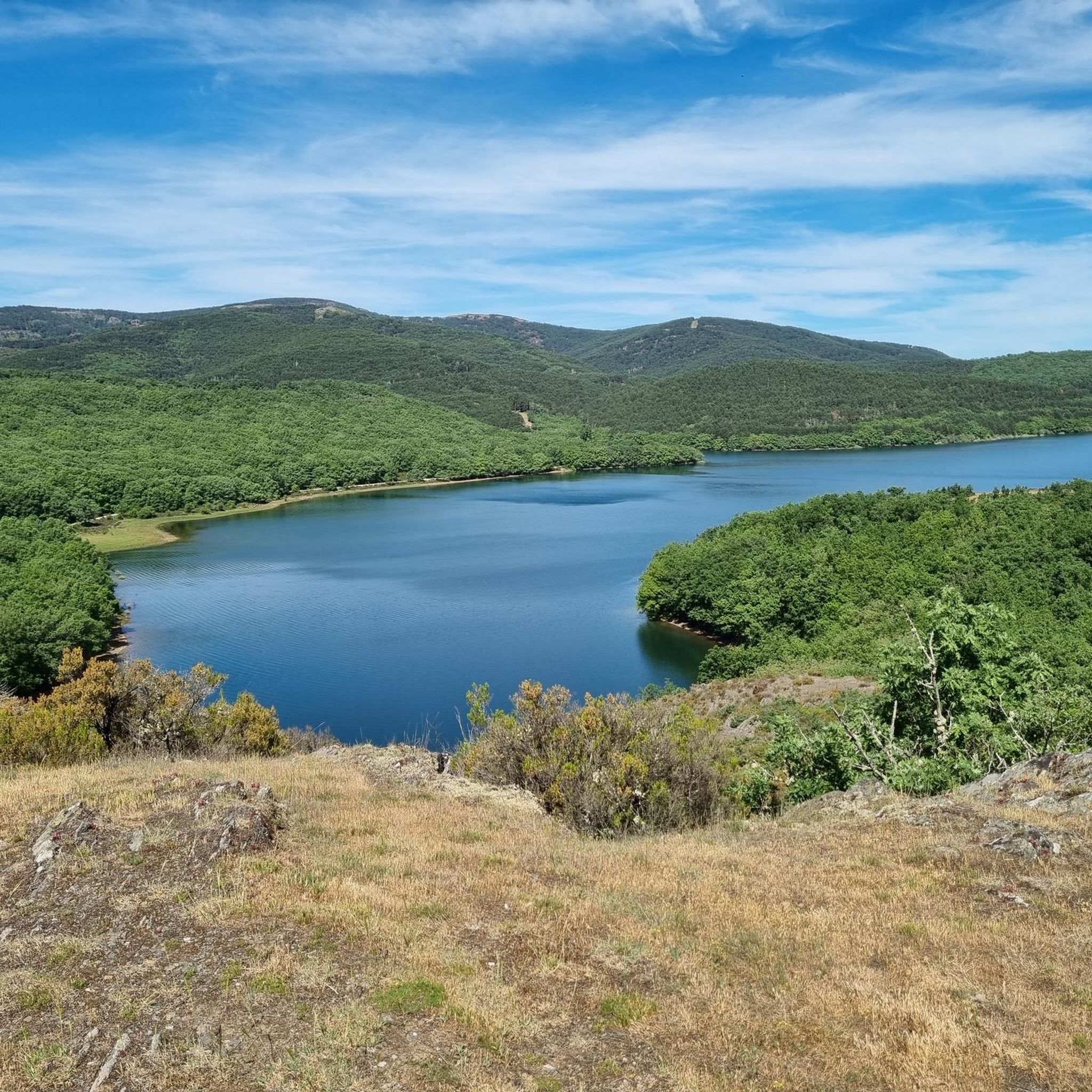
It is one of the waterfalls that are found in this valley and that are part of the Arroyo del Allúzarra, in the upper part of it. The waters come from the high mountains that are flanking the mountains above.
0
0
발말라 주변에서 가장 인기 있는 경로
발말라 주변에서 가장 인기 있는 명소


더 살펴보기
다른 지역의 최고의 러닝 트레일 & 경로를 살펴보세요.
