20의 산타 마리아 델 쿠비요가지 명소 & 주요 장소
산타 마리아 델 쿠비요에는 둘러볼 만한 장소가 많답니다. 하이킹 또는 사이클링을 좋아한다면 산타 마리아 델 쿠비요에 숨겨진 20
가지 보석을 만날 수 있을 거예요. 이 지역의 주요 명소를 살펴보면서 다음 모험을 계획해보세요.
마지막 업데이트: 8월 23, 2026
푸에르토 데 라 란차
하이라이트 • 산악 고개
번역자 Google •
팁에 의해

쿠에바 밍구벨라 암각화
하이라이트 • 동굴
번역자 Google •
팁에 의해

이런 장소를 발견하려면 지금 가입하세요
최고의 싱글 트랙, 봉우리 및 다양한 흥미로운 야외 장소에 대한 추천을 받아보세요.
무료 회원 가입
Cañada Real Soriana Occidental
하이라이트 (구간) • 트레일
번역자 Google •
팁에 의해

Mirador del Canchal
하이라이트 • 전망대
번역자 Google •
팁에 의해

미라도르 델 리스코 데 로스 디네로스
하이라이트 • 전망대
번역자 Google •
팁에 의해
무료로 가입하여 산타 마리아 델 쿠비요 주변의 더 많은 명소를 발견하세요.
무료 회원 가입
이미 komoot 계정이 있나요?
오늘 무료 계정으로 시작하세요
다음 모험이 기다리고 있어요.
로그인 또는 가입하기

커뮤니티 팁

Mingubela Cave, also known as Peña Mingubela, is a fascinating rock shelter located near the small village of Ojos Albos in Ávila, Spain. This site is known for its ancient cave paintings, which depict various figures, including warriors, some of whom are shown holding shields or in prayer positions. The cave is divided by a stone column, which adds to its unique structure. If you are interested in visiting, it is important to note that the cave is only accessible on foot and the path can be quite steep, so it is advisable to bring a flashlight and seek precise directions from locals. Additionally, there are several hiking trails in the area, such as the circular trail from Ojos Albos that includes La Atalaya and Mingubela Cave.
5
0

In Urraca-Miguel we enter Western Soriana and follow the Cañada Real to the streets of Ávila. The surface of the livestock trail is paved and reserved for pedestrians and cyclists, perfect for ending a fantastic day of mountain bike tourism. The ravine passes through Bernuy-Salinero, where the Prado de las Cruces dolmen is located, a notable site of the megalithic culture in Ávila declared a Site of Cultural Interest. The little road of the canyon crosses the hills of Canto Campanario and finally enters Ávila enjoying extraordinary views of the immense plain of the Chico and Cardiel rivers. We passed through the railway station, went up to the gates of the wall, photos and celebration of an unforgettable cycling day.
1
0
The crossing of the Malagón mountain range has several options and I look for livestock trails, forests, fountains and significant places that have roads with rights of way. Between Las Navas del Marqués and Navalperal de Pinares we continue halfway down the slope through the pastures of Cantos Gordos, with a strategic refreshment stop at the Fuente de Peña Cigüete. In summer it is essential to pass through hydration points along the route. In Navalperal de Pinares the yellow arrows of a Camino de Santiago appear but I do not discover the exact route and we follow our initial plan along the rural road that leads to the Navalperal reservoir, linking with the Cañada Real Leonesa on the edge of the reservoir. The climb up the ravine is beautiful, there is the little lake next to the road and in front of it is a splendid plain of mountain pastures populated by herds of cows and horses, an authentic image of the mountain ranges of Ávila. The rope of the mountain range is bristled with wind turbines that serve as a reference during the climb because it is about following the route of the royal ravine to the path of the modern “windmills”. The surface is complicated throughout the climb, they are mountain cattle trails with stones, ditches and grass areas that make pedaling difficult, especially for cyclists carrying gravel bicycles. On the other hand, along the gravel path of the mills the bicycles fly along the mountain range until the Valdi Wind Farm ends and a broken and steep section of track appears that connects with the Valdihuelo Wind Farm. The mountain crossing continues until the last wind turbine and after passing a new gate the descent towards Urraca-Miguel begins. Pay attention to the track on grassy meadows. The beginning of the descent is a fairly steep cattle track with water furrows and grass stumps, then it enters the pastoral plain of Peñaluenga and turns west along cow trails to a hill where it connects with the rural road that goes down to Urraca -Miguel.
1
0

On the other side of the Arroyo del Corral is this well-known cave where cave paintings are found. Just above it, we can find Peña de la Mora.
0
1
Set of rocks that are at the top of this set of hills near Las Navas del Marqués and that allow us to see good views of the area.
1
0
In the middle of the Sierra de Ojos Albos is a mountain at the foot of which, hidden, is this cave with ancient rock paintings. The peak is called Peña de la Mora and the cave in the direction of Arroyo del Corral Hondo.
2
0

In 1974 these exciting cave paintings were discovered, drawn by the different prehistoric populations that occupied the place. I leave the bike on the road to get closer to the paintings and see them closer and observe each of the details, as well as inform myself thanks to the panel that is in place.
1
0
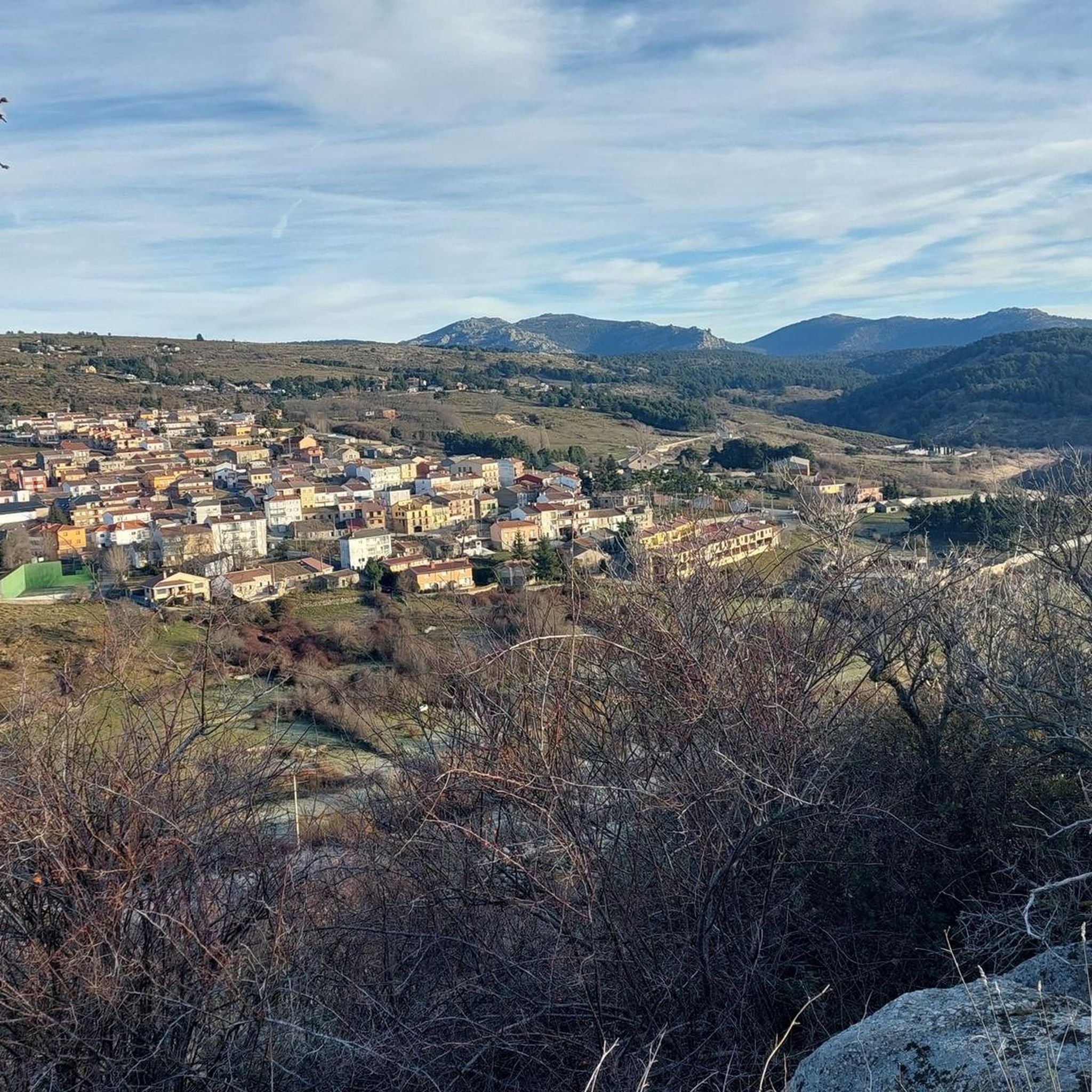
The Mirador del Canchal is located on top of a rock on a plateau surrounded by fields of different shapes and colors. From the viewpoint we have a fantastic panoramic view.
1
0
산타 마리아 델 쿠비요 주변에서 가장 인기 있는 명소


더 살펴보기
찾고 있는 하이라이트를 아직 못 찾으셨나요? 다른 지역의 주요 명소 가이드를 확인해보세요:
