부렐라 최고의 사이클링 경로
4.8
(19)
149
자전거 타는 사람
20
라이딩
부렐라 최고의 사이클링 경로를 따라 지역을 둘러볼까요? 부렐라에서 가장 멋진 자전거 라이딩 장소 중에서 가장 마음에 드는 라이딩을 선택해보세요.
마지막 업데이트: 10월 16, 2026
1
자전거 타는 사람
30.8km
02:15
550m
550m
어려운 자전거 타기. 우수한 체력 필요. 대부분 포장된 지면. 실력과 관계없이 누구나 갈 수 있음.
5.0
(6)
23
자전거 타는 사람
22.2km
01:25
230m
230m
보통 자전거 타기. 좋은 체력 필요. 대부분 포장된 지면. 실력과 관계없이 누구나 갈 수 있음.

4.8
(4)
18
자전거 타는 사람
51.5km
03:15
520m
520m
어려운 자전거 타기. 우수한 체력 필요. 대부분 포장된 지면. 실력과 관계없이 누구나 갈 수 있음.
5.0
(1)
14
자전거 타는 사람
72.6km
04:51
1,130m
1,130m
어려운 자전거 타기. 우수한 체력 필요. 대부분 포장된 지면. 실력과 관계없이 누구나 갈 수 있음.
5.0
(1)
13
자전거 타는 사람
44.1km
02:53
520m
510m
어려운 자전거 타기. 우수한 체력 필요. 대부분 포장된 지면. 실력과 관계없이 누구나 갈 수 있음.
더 다양한 경로와 다른 탐험가들의 추천을 살펴보세요.
이미 komoot 계정이 있나요?
투어 추천은 다른 사람들이 komoot에서 완료한 수천 개의 활동을 바탕으로 구성되어 있습니다.
오늘 무료 계정으로 시작하세요
다음 모험이 기다리고 있어요.

커뮤니티 팁

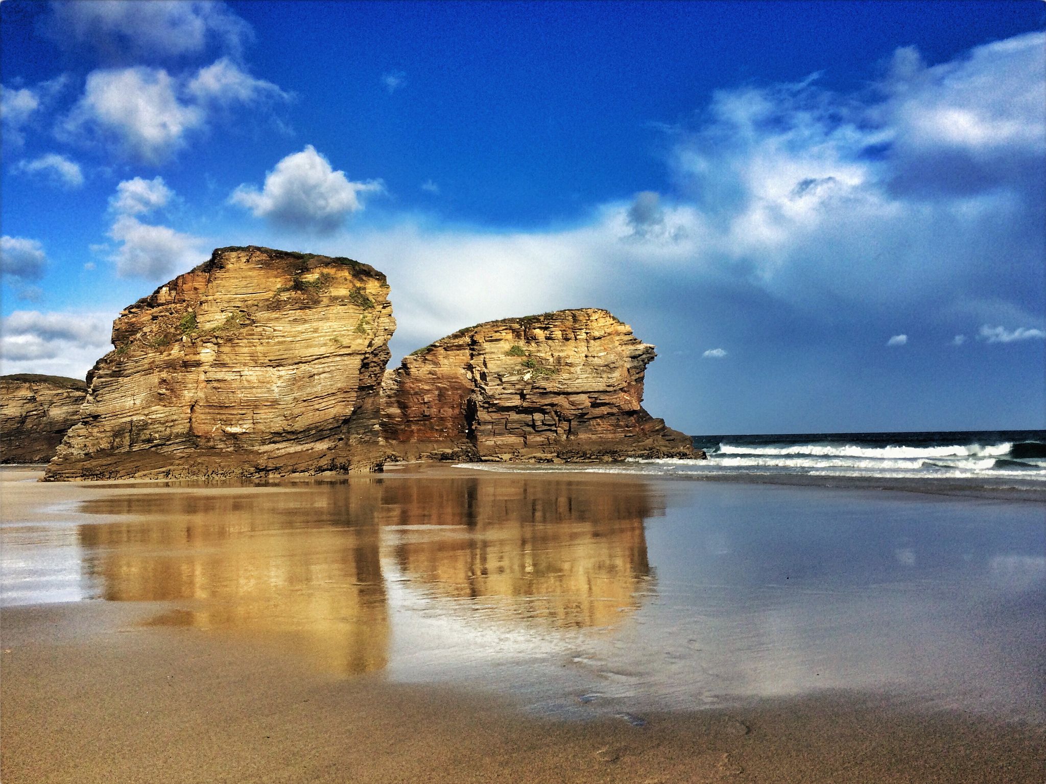
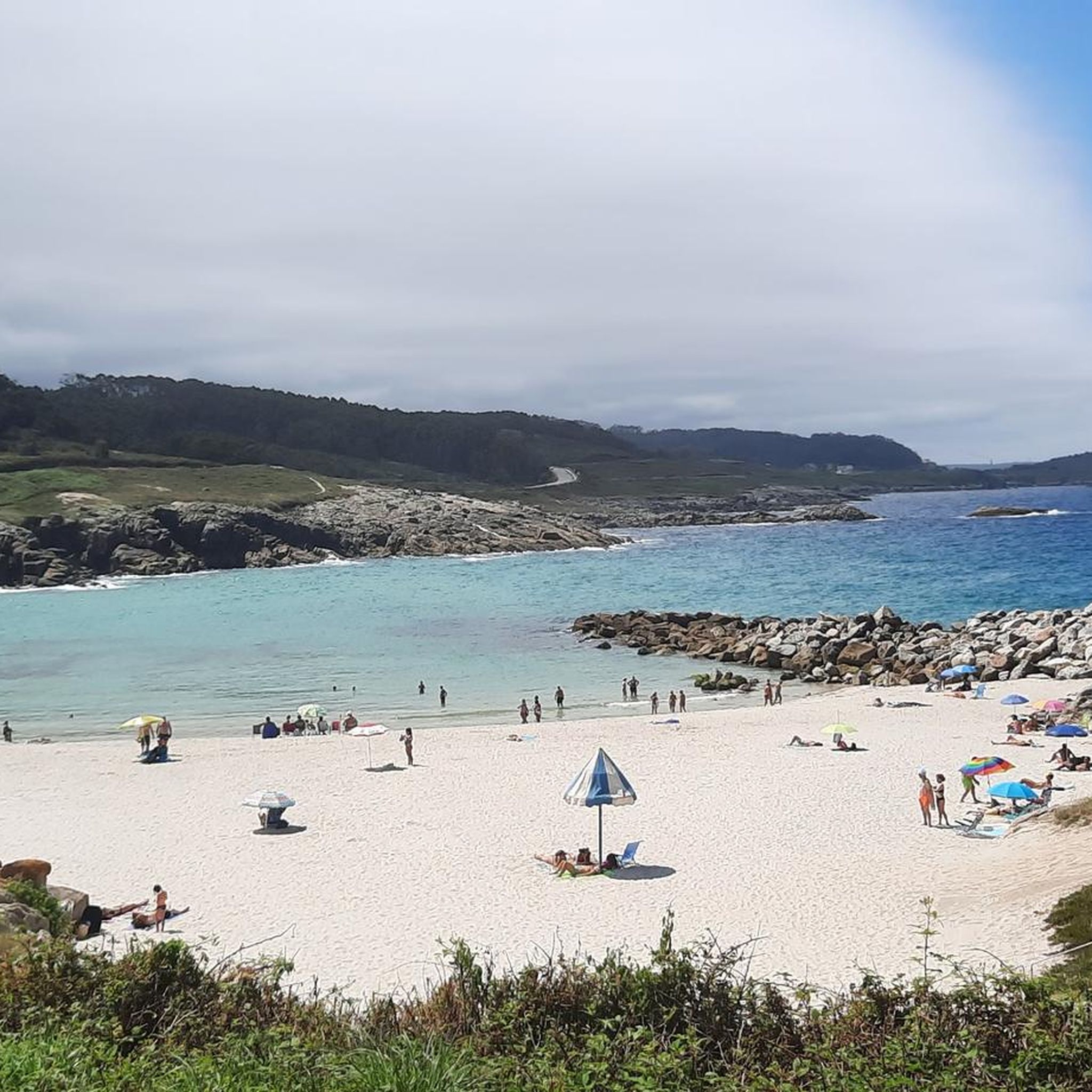
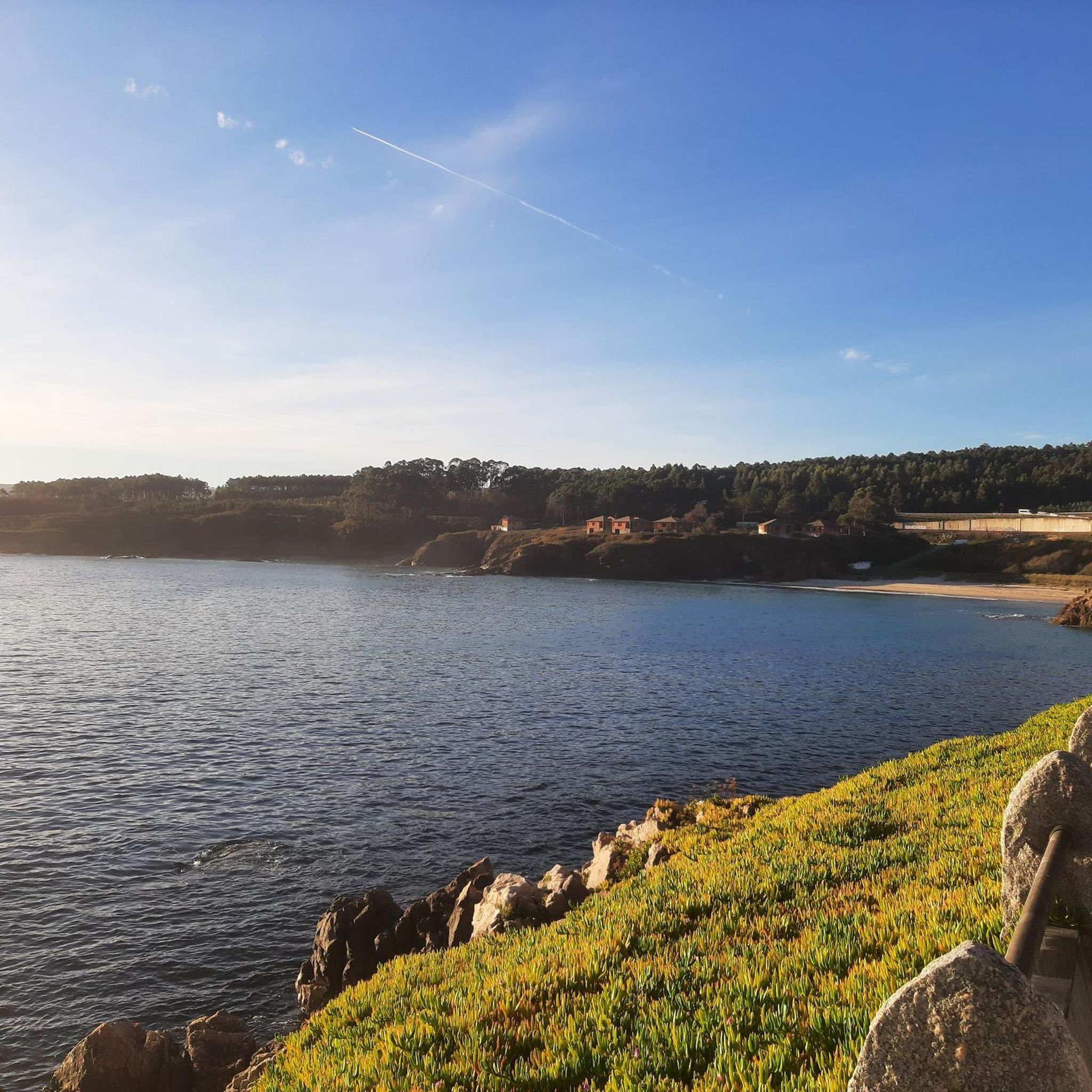
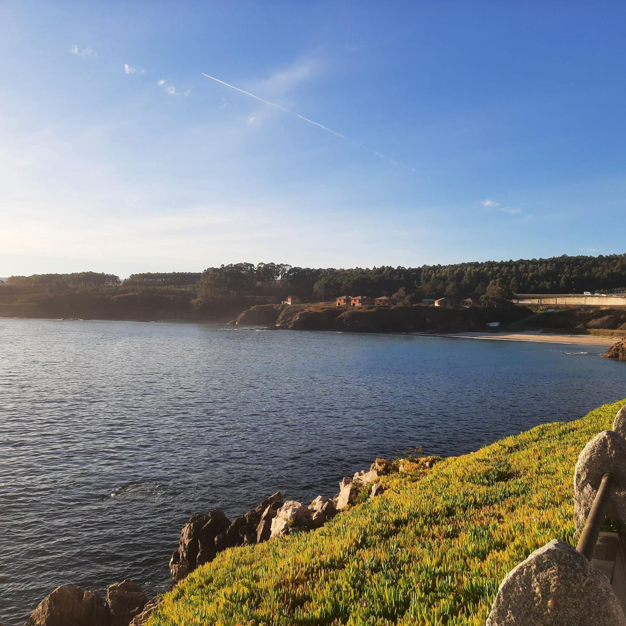
Stage 2. Burela/Viveiro 128 kilometers. 2,660 positive meters. The spectacular Cabo de Burela bike path makes it easy to get out of the town by bicycle along the coastal cliffs and the little beaches of Reliño and Marosa, then comes the crossing near the Cervo business park and again the charms of the coastal towns in San Cibrao, a beautiful fishing port formed by two neighborhoods that were created when the coastal sediments joined the coastal point with the islet where the Punta da Atalaia lighthouse is now located. The Nature Trail draws a curious perimeter route through the town that culminates in views of the coast from the spectacular overhanging balcony of the Miradoiro da Atalaia and descends through O Pedregal. The landmarks of the route move away from the coast to surround the industrial complex of an immense aluminum factory and return again to coastal fantasies in the port of Morás, an important whaling port during the Middle Ages. The entrance to the port and the surrounding area are decorated with hundreds of idols, which are the remains of the concrete pieces that were made to build the docks of the current industrial port of San Cibrao. The coastal landscape changes its atmosphere, the first serious slopes arrive. Near the famous Paper Cliffs, a fun stretch along mountain trails begins on the cliffs of Morás and the viewpoints of Monte Castelo, in Punta Roncadoira, accumulating a good positive gradient before descending again to the shore of the Cantabrian Sea and passing through Viveiro. and Covas for the first time. The stage ends in Viveiro although there is still the fabulous final stretch to the Ortigueira estuary and the return. In Covas there is a bicycle shop, it is next to a giant specimen of Monterrey cypress, 32 meters high, planted in 1880. The Natural Trail leaves the urban environment of the Viveiro estuary through Mount O Facho and the surprising viewpoint of the Cruz de San Román, between the beaches of San Román and Area Grande. The route is a constant see-saw through eucalyptus and pine forests between beaches, estuaries and small coves that seem inaccessible from the edge of the cliffs. The crossing of the Barqueiro estuary is another environmental fantasy, on the eastern shore is the port of O Vicedo and on the western shore the fishing streets of O Porto do Barqueiro, staggered on the slope of the mouth of the Sor river, the gateway to the Estaca de Bares, the northernmost point of the Iberian Peninsula.
0
0

Founded by the Franciscans in 1219, this church is just outside the old Roman wall and has a well-preserved Romanesque portal and Gothic apse (renovated in 1965!). A visit to the cloister is worthwhile.
1
0

Burela is a small, but very active, fishing port. In its surroundings you will find the typical green landscape of the Galician coast facing the Bay of Biscay and its dream beaches.
2
0

This is an arched stone gate to the old city. Travelers who crossed the estuary via the Mayor or La Misericordia bridges reached the entrance to the old town.
3
0
The Paseo Marítimo de Foz is a public space for recreation and promenade with incredible views of the Galician north Atlantic coast.
3
0
Foz, a small fishing village and former whaling port at the mouth of the Foz estuary. The area is a unique natural habitat of salt marshes for one of the largest seabird colonies in northwestern Spain.
1
0

The castro of Fazouro is an old fortified settlement dating between the 1st and 3rd centuries AD. Rectangular buildings, benches attached to the stone walls and remains of homes are preserved. It is the only fort on the Galician Cantabrian coast that is preserved as a museum.
1
2
The strategic position of Cape Burela is possibly the reason why an important fort was built right next to it. Although few vestiges of this pre-Roman fortified town remain today, valuable objects such as the famous Burela torc were found here.
1
0
부렐라 주변에서 가장 인기 있는 경로
부렐라 주변에서 가장 인기 있는 명소


더 살펴보기
다른 지역의 최고의 자전거 경로를 살펴보세요.
