카르노타 최고의 사이클링 경로
4.8
(75)
6,576
자전거 타는 사람
18
라이딩
카르노타 최고의 사이클링 경로를 따라 지역을 둘러볼까요? 카르노타에서 가장 멋진 자전거 라이딩 장소 중에서 가장 마음에 드는 라이딩을 선택해보세요.
마지막 업데이트: 7월 28, 2026
5.0
(2)
3,937
자전거 타는 사람
44.7km
03:10
550m
550m
어려운 자전거 타기. 우수한 체력 필요. 대부분 포장된 지면. 실력과 관계없이 누구나 갈 수 있음.
4.3
(4)
266
자전거 타는 사람
27.1km
01:42
270m
270m
보통 자전거 타기. 좋은 체력 필요. 대부분 포장된 지면. 실력과 관계없이 누구나 갈 수 있음.

무료 회원 가입
5.0
(1)
198
자전거 타는 사람
24.9km
01:56
460m
460m
어려운 자전거 타기. 우수한 체력 필요. 대부분 포장된 지면. 실력과 관계없이 누구나 갈 수 있음.
53
자전거 타는 사람
30.8km
01:55
240m
240m
보통 자전거 타기. 좋은 체력 필요. 대부분 포장된 지면. 실력과 관계없이 누구나 갈 수 있음.
5.0
(3)
50
자전거 타는 사람
43.7km
02:57
540m
540m
어려운 자전거 타기. 우수한 체력 필요. 대부분 포장된 지면. 실력과 관계없이 누구나 갈 수 있음.
더 다양한 경로와 다른 탐험가들의 추천을 살펴보세요.
무료 회원 가입
이미 komoot 계정이 있나요?
투어 추천은 다른 사람들이 komoot에서 완료한 수천 개의 활동을 바탕으로 구성되어 있습니다.
오늘 무료 계정으로 시작하세요
다음 모험이 기다리고 있어요.
로그인 또는 가입하기
카르노타 주변 인기 장소
커뮤니티 팁

Ézaro Beach, located in the parish of O Ézaro (municipality of Dumbría, A Coruña), is one of the natural gems of the Costa da Morte in Galicia. It is especially known for its proximity to the famous Xallas River waterfall, which flows directly into the sea, a unique phenomenon in Europe.
4
0

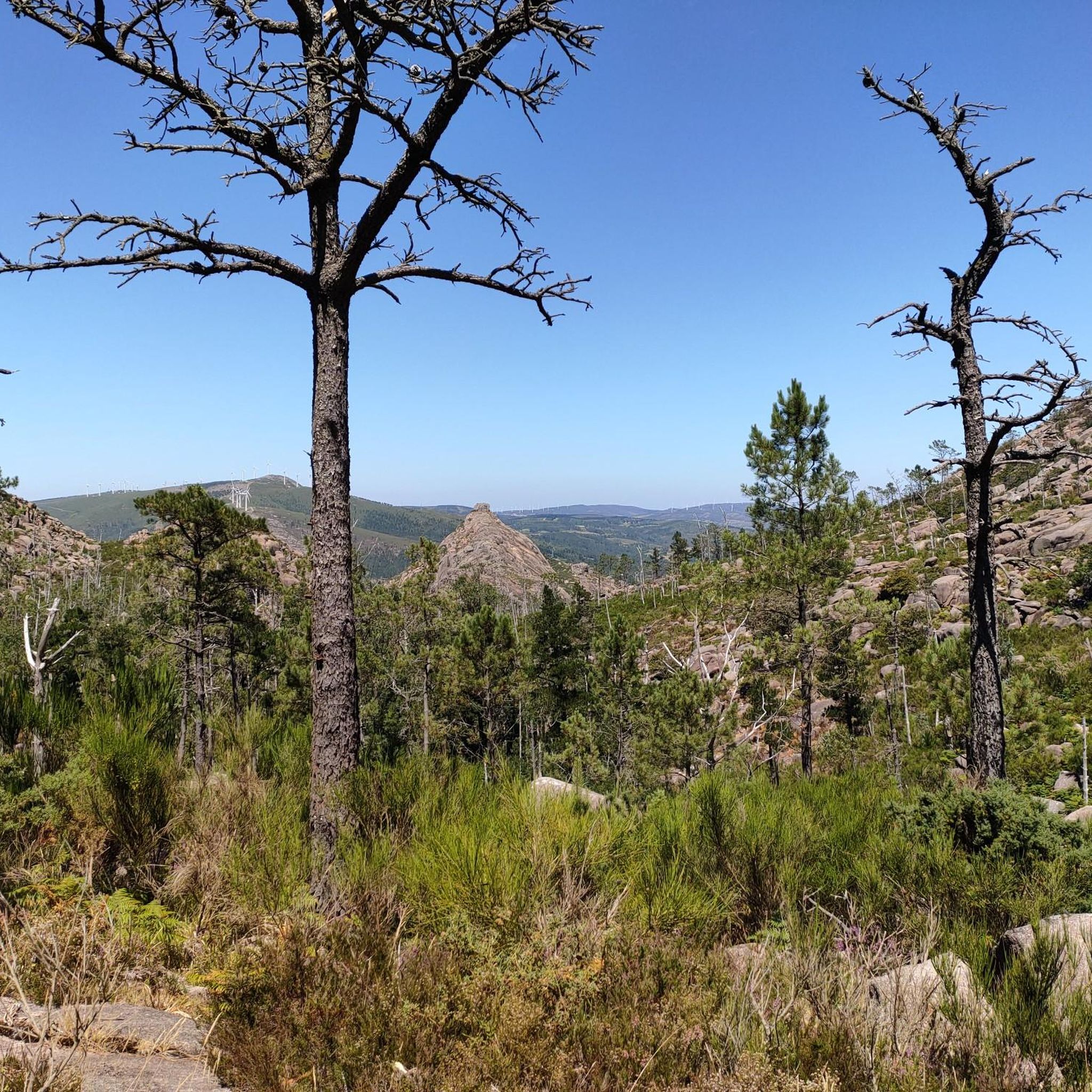
Good area for hiking or cycling. In summer there are quite a few cars on the main road.
0
0

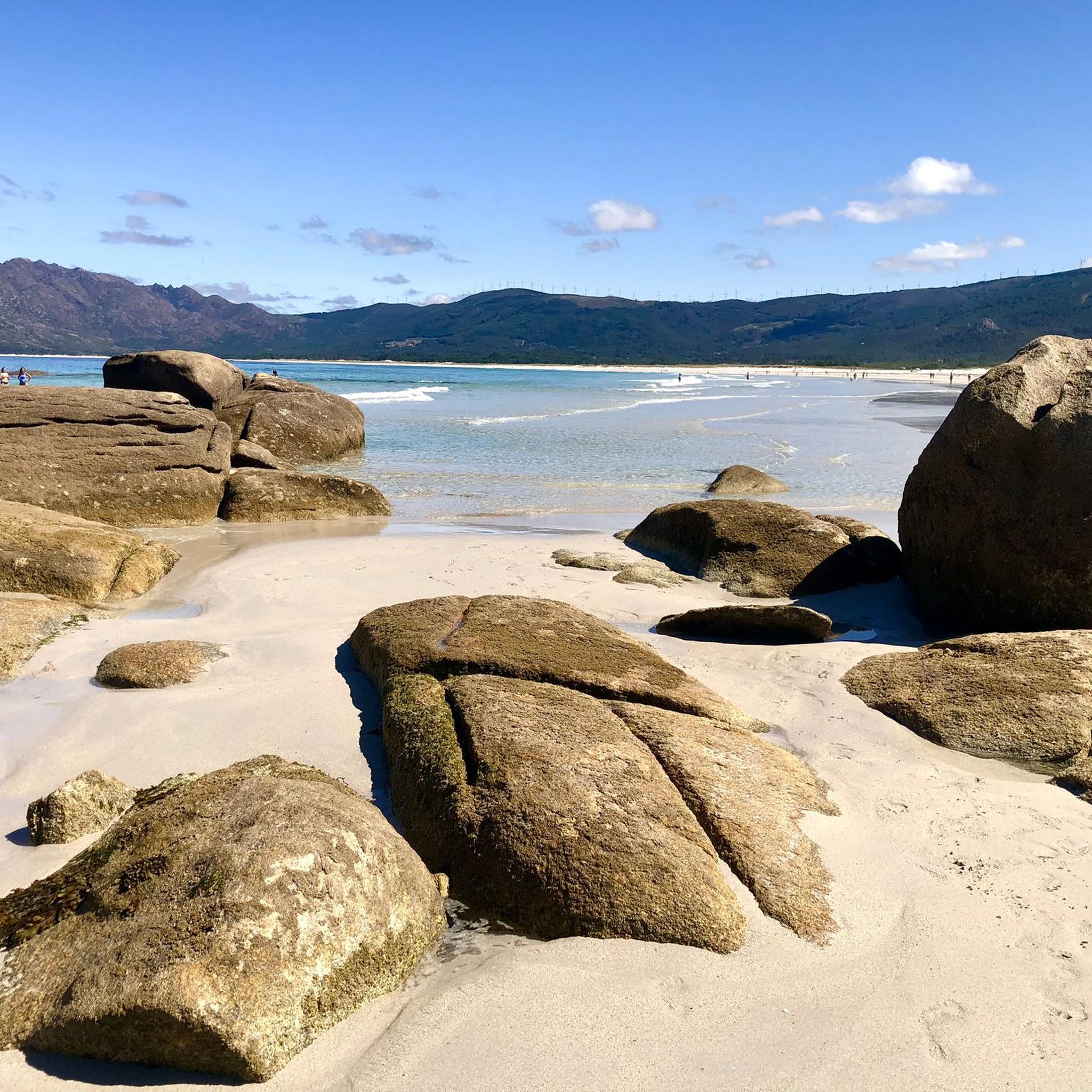
Carnota beach is considered the longest in Galicia, with more than 7 km.
0
0

Promenade from the mouth of the Ezaro River to the sea, through the Ezaro Bridge towards Pindo. Spectacular views over the white sand beach and the ria
1
1

Small port exclusively dedicated to the mooring of the artisanal fishing fleet. It is located at the foot of Mount Pindo. https://www.paxinasgalegas.es/porto-de-o-pindo-244870em.html
4
0
Fisterra is a coastal municipality on a headland in the Spanish province of A Coruña in the region of Galicia with an area of 29 km². In 2005 Fisterra had 5042 inhabitants. The Spanish name is Finisterre, Galician is Fisterra, the westernmost "end of the world". https://en.wikipedia.org/wiki/Fisterra_(A_Coru%C3%B1a)
3
0
Beautiful beach, nice, with white sand and some small rocks
5
0
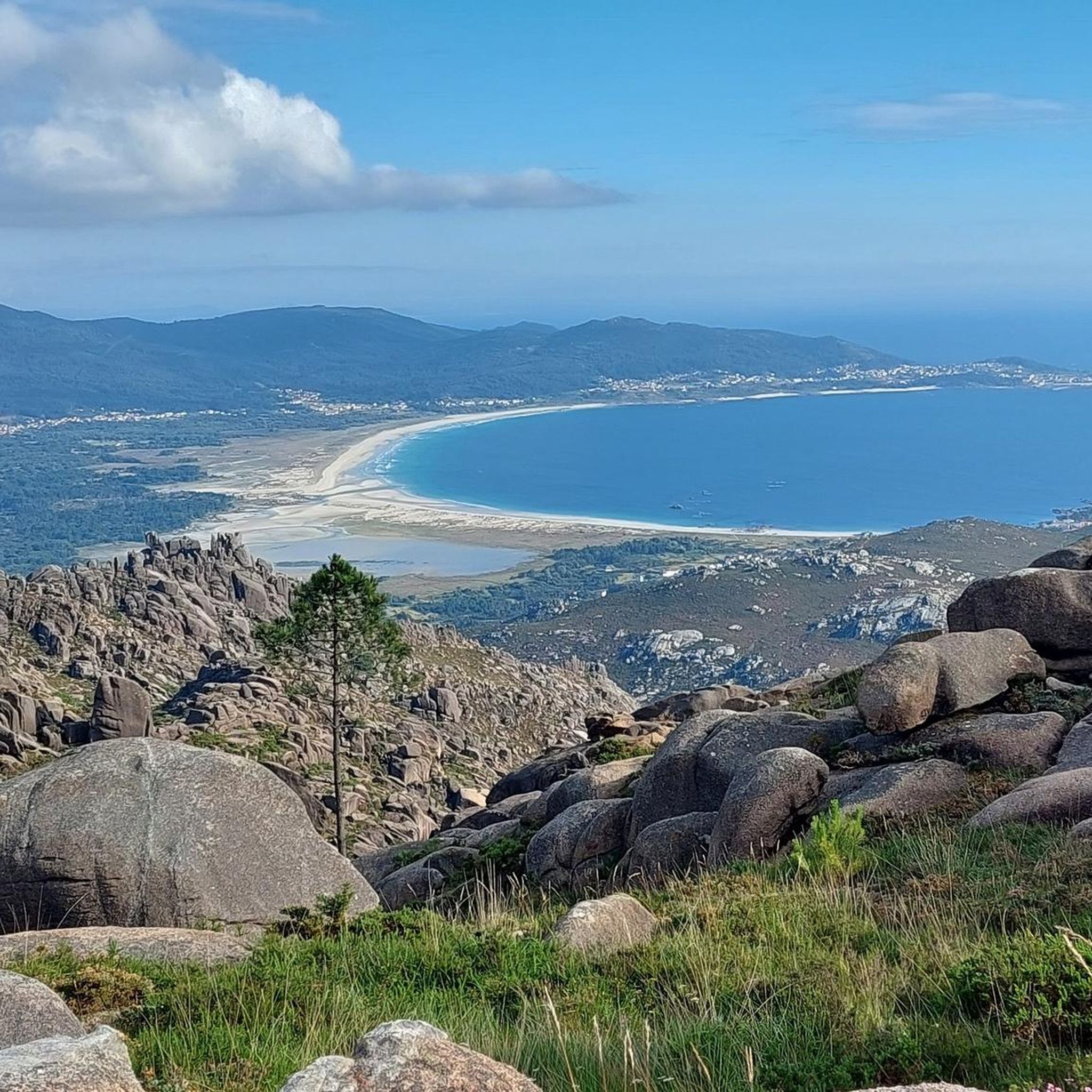
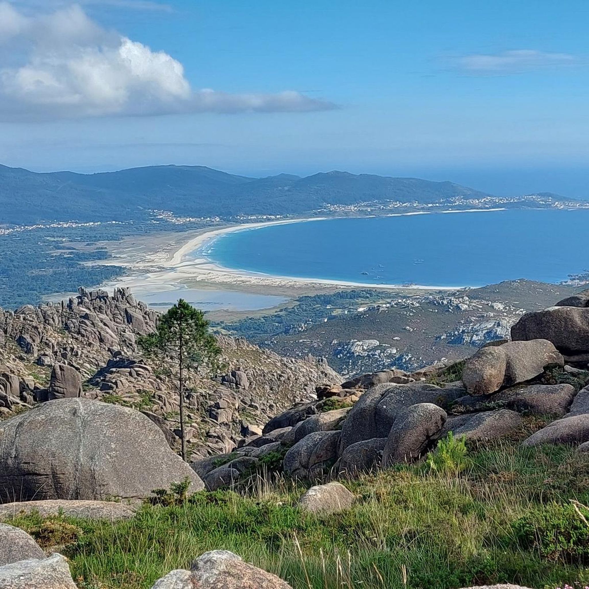
Panorama point over Ría de Muros and Noya The estuary of Muros and Noya (in Galician, ría de Muros e Noia), also known as ría de Muros or ría de Noya, is part of the rías Bajas and is located between the Corcubión estuary in the north and the estuary of Arosa in the south. It is located in the province of La Coruña, and the Barbanza Peninsula delimits its coasts to the south. The River Tambre flows into this estuary. The waters of the Tambre are those that originate at the confluence with the sea, a habitat in which bivalves, cockles and cockles develop, which are the economic engine of the peoples that surround it. The waters of the estuary starts from La Aguieira Beach in Puerto del Son, on the south coast, and ends at San Francisco Beach, in Louro, on the north coast. Among these are the beaches of As Gaivotas (in Miñortos), Testal (Noya), Broña (Outes), Medrón and Parameán (Esteiro), Cabanas (Tal) and O Castelo (Muros), among others. Among the villages to highlight are those that give name to the estuary: Muros, was founded behind Mount Louro as a fishing village hidden from the sight of pirates and corsairs; Noya, medieval village par excellence; other towns are Puerto del Son and Portosín. https://es.wikipedia.org/wiki/R%C3%ADa_de_Muros_y_Noya
4
0
카르노타 주변에서 가장 인기 있는 경로
카르노타 주변에서 가장 인기 있는 명소


더 살펴보기
다른 지역의 최고의 자전거 경로를 살펴보세요.
