칼라냐스 최고의 워킹 & 하이킹 경로
4.6
(13)
78
등산객
26
하이킹
정확한 경로를 찾는 것이 때로는 어렵지만 칼라냐스에서 하이킹을 하면 다양한 경치를 마음껏 감상할 수 있답니다. 칼라냐스에서 가장 멋진 하이킹과 워킹 중에서 마음에 드는 활동을 시작해보세요.
마지막 업데이트: 8월 30, 2026
3.8
(4)
8
등산객
10.3km
02:54
220m
220m
보통 하이킹. 좋은 체력 필요. 실력과 관계없이 누구나 쉽게 갈 수 있는 길.
17
등산객
11.8km
03:09
120m
130m
보통 하이킹. 좋은 체력 필요. 실력과 관계없이 누구나 쉽게 갈 수 있는 길.

무료 회원 가입
4.0
(1)
2
등산객
5.88km
01:38
110m
110m
초급용 하이킹. 모든 체력 수준에 적합. 실력과 관계없이 누구나 쉽게 갈 수 있는 길.
1
등산객
12.9km
03:25
130m
130m
보통 하이킹. 좋은 체력 필요. 실력과 관계없이 누구나 쉽게 갈 수 있는 길.
1
등산객
14.4km
04:06
300m
300m
보통 하이킹. 좋은 체력 필요. 실력과 관계없이 누구나 쉽게 갈 수 있는 길.
더 다양한 경로와 다른 탐험가들의 추천을 살펴보세요.
무료 회원 가입
이미 komoot 계정이 있나요?
투어 추천은 다른 사람들이 komoot에서 완료한 수천 개의 활동을 바탕으로 구성되어 있습니다.
오늘 무료 계정으로 시작하세요
다음 모험이 기다리고 있어요.
로그인 또는 가입하기





커뮤니티 팁

The Roman bridge over the Odiel River in Calañas is a historic structure that is part of the region's rich heritage. This bridge is a point of interest on several hiking trails that run through the area, allowing visitors to enjoy the natural beauty and cultural heritage of the area.
8
0
The route offers a unique experience, combining the tranquility of the natural environment with the opportunity to explore the history of the region. Hikers can enjoy the lush vegetation, diverse fauna and picturesque landscapes along the way.
2
0

Spanish town in the municipality of La Zarza-Perrunal. This town is closely related to mining since the Romans began to work these mountains.
2
0
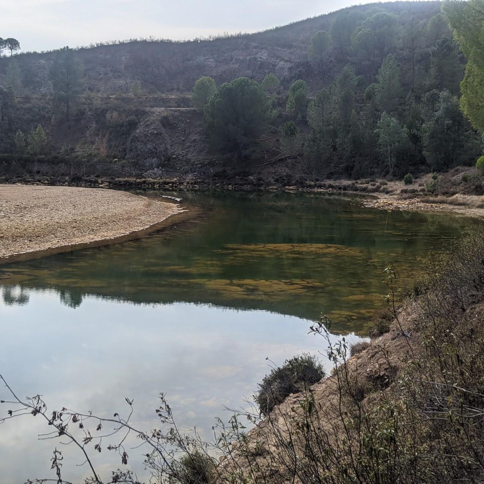
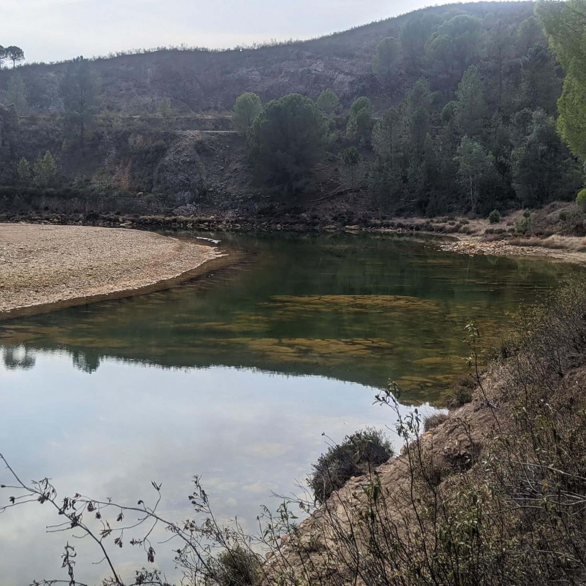
Old reservoir of the homonymous mine, in disuse today, and which has become a bathing and fishing area, with a landscape of steep shores and abundant vegetation.
2
0
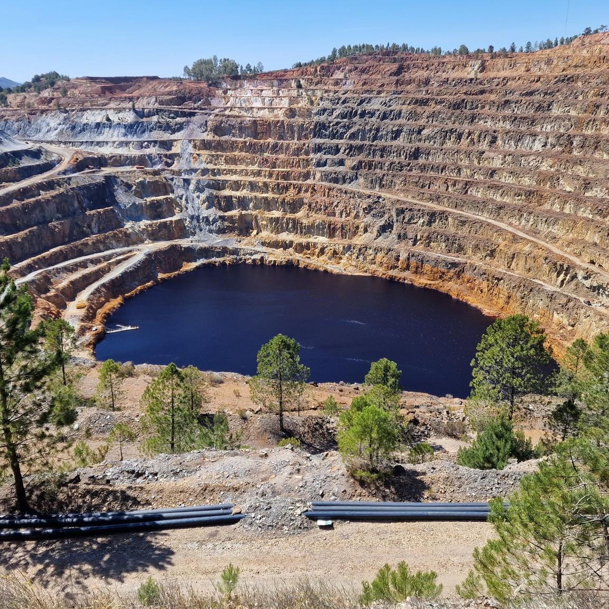
It was a mining operation located in the town of La Zarza_Perrunal, active from the mid-19th century to the end of the 20th century. It is currently partially flooded, forming a lake known as La Corta. It is worth going up to the viewpoint to observe the exploitation from its highest point.
2
0
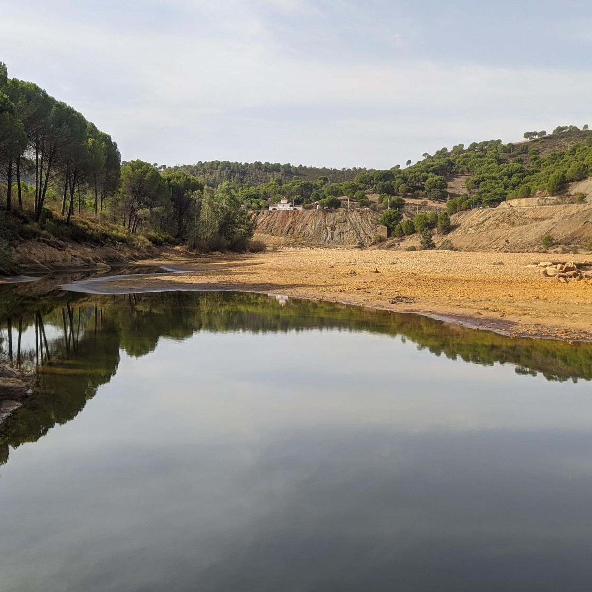
Path along the banks of the Odiel river where you can discover part of the historical and natural heritage such as the old flour mills that used water as the driving force of the Odiel. We can also see arched bridges from the 19th century, most of them in ruins, and a long etcetera highly recommended.
2
0
Bridge that crossed the Odiel river dating from the 18th century. It was a metal lattice bridge 19 meters high, of which only the 5 stone masonry piles remain.
2
0

칼라냐스 주변에서 가장 인기 있는 명소


더 살펴보기
다른 지역의 최고의 하이킹를 살펴보세요.
