20의 에스타블렛가지 명소 & 주요 장소
에스타블렛에는 둘러볼 만한 장소가 많답니다. 하이킹 또는 사이클링을 좋아한다면 에스타블렛에 숨겨진 20
가지 보석을 만날 수 있을 거예요. 이 지역의 주요 명소를 살펴보면서 다음 모험을 계획해보세요.
마지막 업데이트: 8월 30, 2026
번역문 보기
팁에 의해

샤토 드 라 샤르스
하이라이트 • 성
번역자 Google •
팁에 의해

이런 장소를 발견하려면 지금 가입하세요
최고의 싱글 트랙, 봉우리 및 다양한 흥미로운 야외 장소에 대한 추천을 받아보세요.
무료 회원 가입
오늘 무료 계정으로 시작하세요
다음 모험이 기다리고 있어요.
로그인 또는 가입하기
커뮤니티 팁

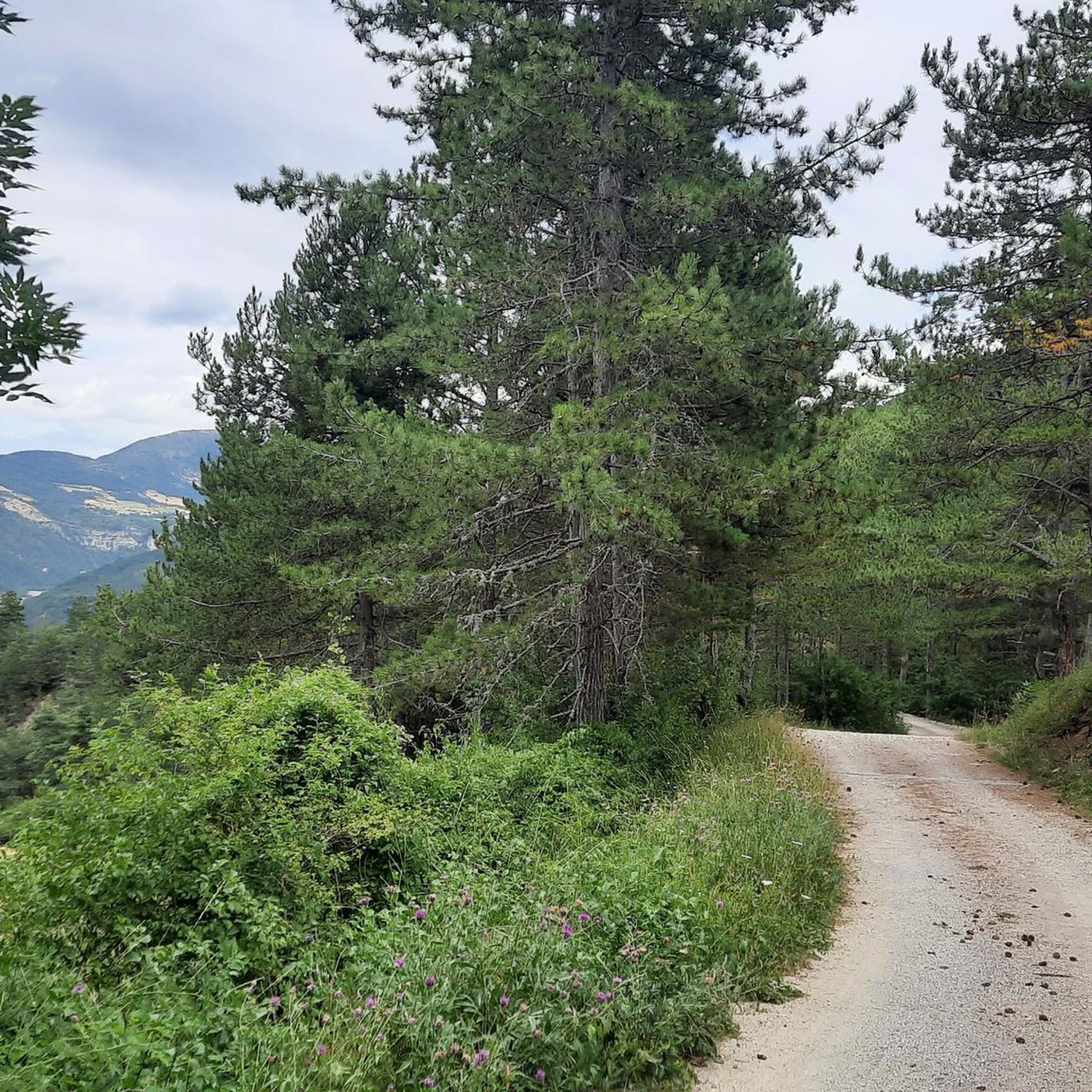
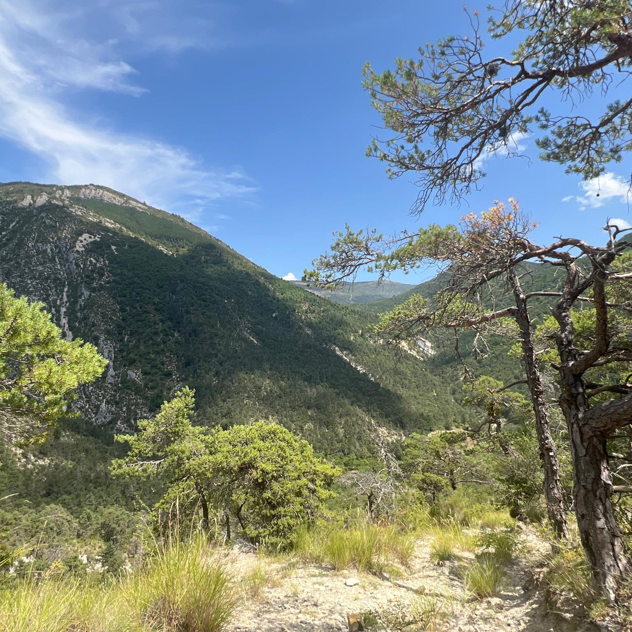
매우 아름다운 길목입니다. 이곳에서 자연은 최상의 모습을 보여주었습니다.
11
0
Rosans에서 Col de la Fromagère / Col de Pommerol까지의 오르막은 Hautes-Alpes 지역에 있습니다. 이 오르막은 길이가 6.6km이고 총 고도 차이는 371m입니다. Rosans에서 Col de la Fromagère / Col de Pommerol까지의 평균 경사는 5.6%입니다.
6
0
Rosans에서 Col de la Fromagère / Col de Pommerol까지의 오르막길은 Hautes-Alpes 지역에 있습니다. 이 오르막길은 길이가 6.6km이고 총 고도 차이는 371m입니다. Rosans에서 Col de la Fromagère / Col de Pommerol까지의 오르막길 평균 경사는 5.6%입니다.
5
0

Magnificent historic city, plan a day to visit Bouligons a few kilometers away towards Valdrôme.
0
0

The Col de la Fromagère turns into the Col de Pommerol when you reach the summit. The climb is nevertheless magnificent on a small mountain road, with good percentages sometimes approaching 12%
1
0

It all began in 1442 when a foundation broke away from the southern flank of Pic de Luc. As it slid, it hit a limestone spur, divided, broke into enormous blocks and blocked the Drôme at two points... thus two lakes were formed: the Petit downstream and the Grand upstream. The “Grand Lac” is 5 km long and arouses envy because it is full of fish. In 1561 it thus became the property of the Carthusians of Durban, monks to whom meat was forbidden. It was only in 1804 that a huge block, the “dad”, was pierced to let the water flow at the location of the current Saut de la Drôme. This vast dry body of water now gives way to an agricultural plain (ruined Bouligons farm and its formerly cultivated terraces) and the Bouligons marsh, the last vestige of the disappeared lake. The need to avoid the Claps during the construction of the “Briançonnais” railway line at the beginning of the 20th century also gave the site a magnificent viaduct, 244 m long and 44 m high.
1
0
에스타블렛 주변에서 가장 인기 있는 명소


더 살펴보기
찾고 있는 하이라이트를 아직 못 찾으셨나요? 다른 지역의 주요 명소 가이드를 확인해보세요:
