경로플래너기능업데이트
App
로그인 또는 가입
앱 다운로드
로그인 또는 가입
경로
Places to see
Mountain passes
프랑스
오베르뉴 론 알프스
원자가

바르비에르

바르비에르‬에서 가장 멋진 ‪7‬개의 산길

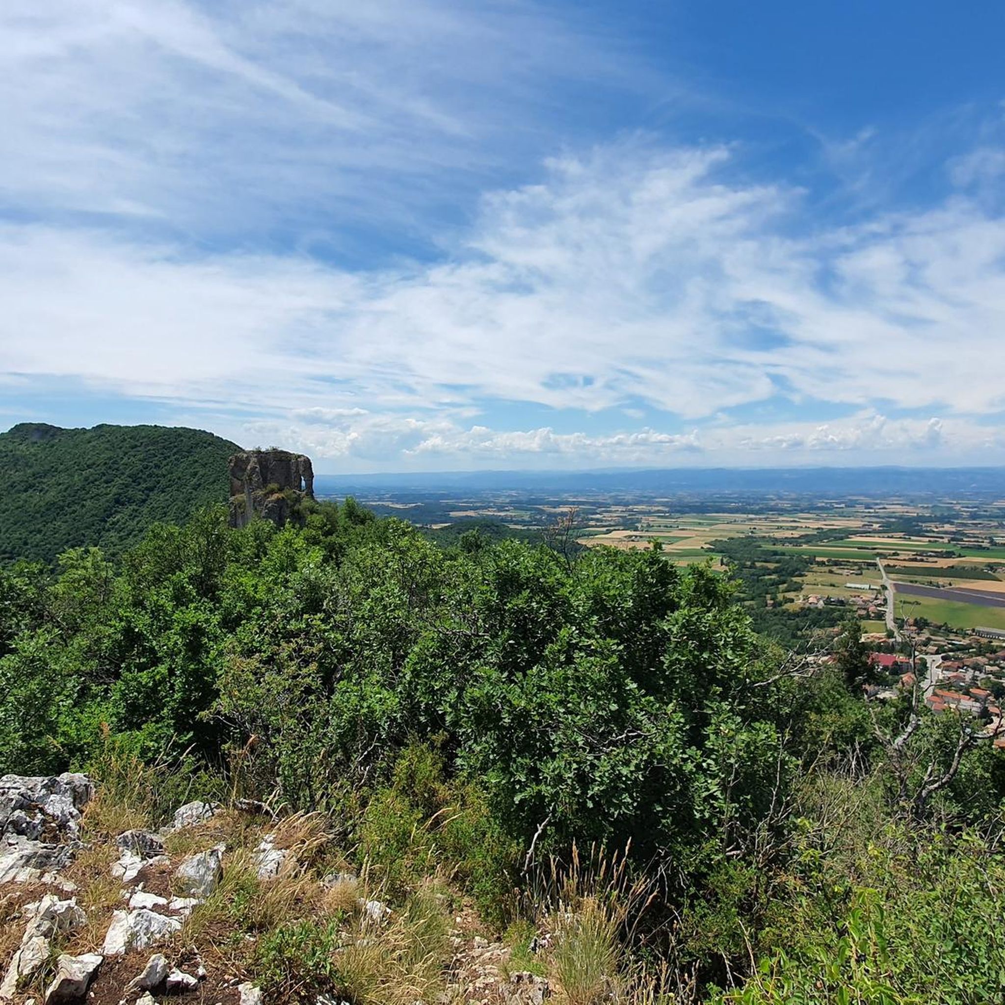
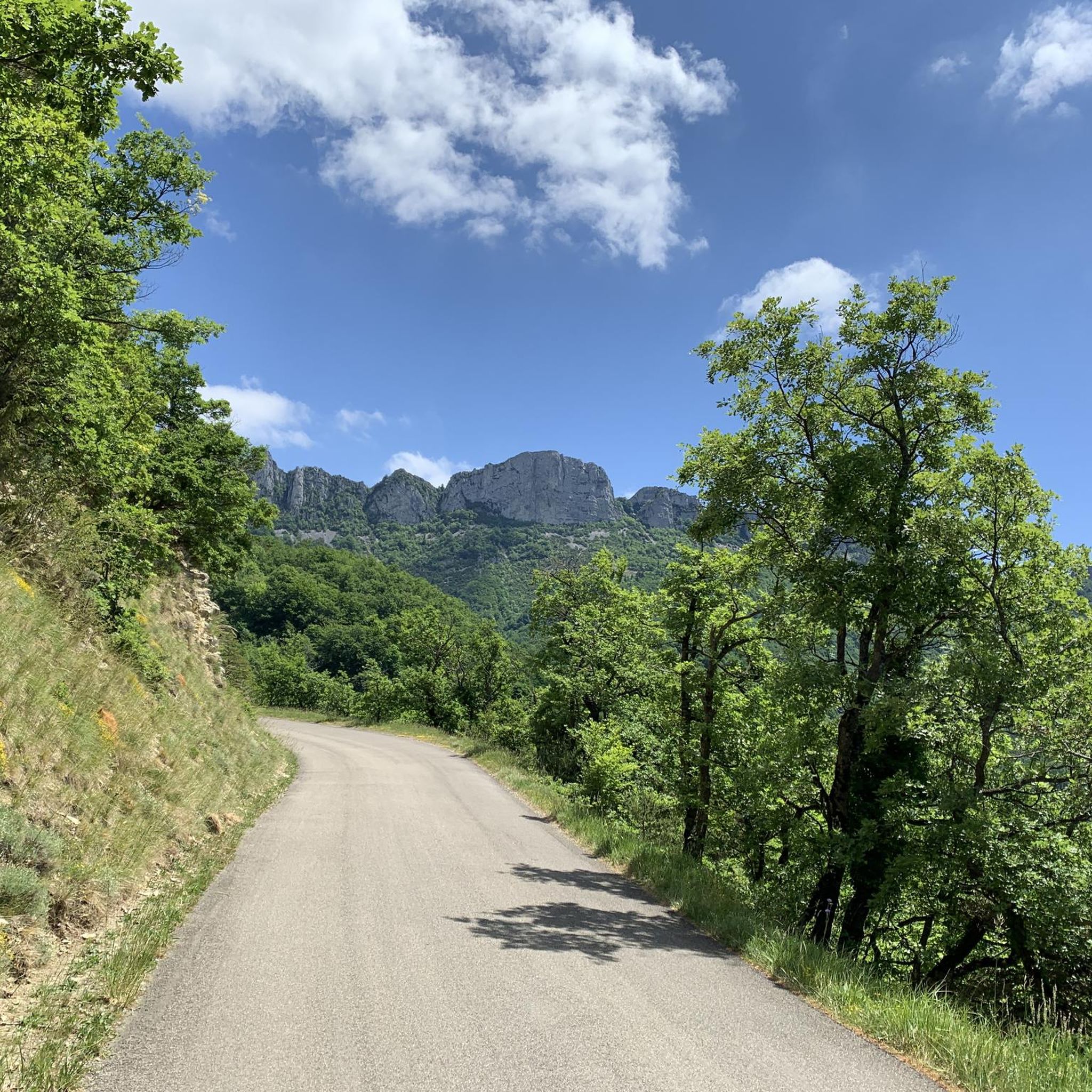
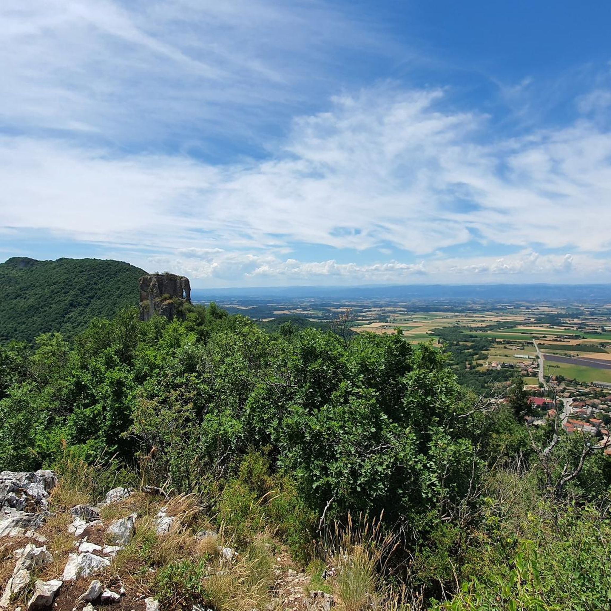
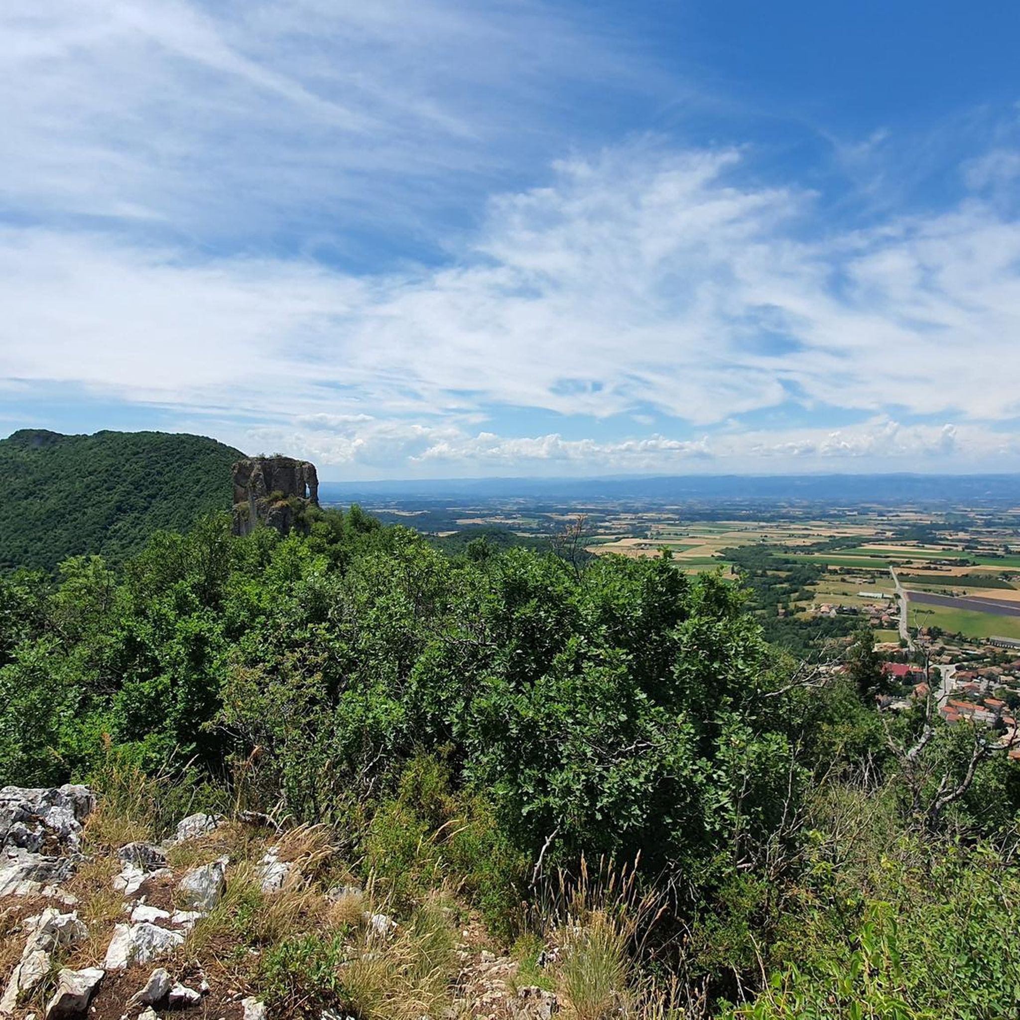
바르비에르에서 가장 멋진 산길을 아래에서 살펴보세요. 풍경을 감상하기에도 좋고, 오르막길/내리막길을 따라 걷기에도 좋은 곳이랍니다. 커뮤니티가 특별 도움을 통해 공유한 콘텐츠인 만큼 믿을 수 있는 정보이니 마음에 드는 산길이 있다면 바로 다음 모험 계획에 추가해서 바로 방문해보세요.

마지막 업데이트: 10월 27, 2026

바쿠스 고개

하이라이트 • 산악 고개

Nice little pass with a gradual climb from the Isère valley. Allows the seesaw with a nice green descent Plan de Baix

번역자 Google •

팁에 의해

라이딩 보기휴대폰으로 전송
저장

Col de la Bataille

하이라이트 • 산악 고개

Intermediate pass that is comparatively easy to experience from Léoncel. The landscape around the Col is so haunted by the wind that the tree line is hardly higher. Worthwhile views towards Gorge d'Omblèze and the Tête de la dame.

번역자 Google •

팁에 의해

저장

이런 장소를 발견하려면 지금 가입하세요

최고의 싱글 트랙, 봉우리 및 다양한 흥미로운 야외 장소에 대한 추천을 받아보세요.

무료 회원 가입

Col des Limouches

하이라이트 • 산악 고개

Nice gentle climb

번역자 Google •

팁에 의해

저장

콜 드 라 리무슈 남쪽 오르막

하이라이트 (구간) • 산악 고개

Here is the route for the ascent of the Col des Limouches
starting from Peyrus

번역자 Google •

팁에 의해

저장

콜 드 라 포르테트

하이라이트 • 산악 고개

This road pass culminates at an altitude of 1,173 meters in the middle of the Vercors massif. By car it is close to Bouvante.

번역자 Google •

팁에 의해

저장

무료로 가입하여 바르비에르 주변의 더 많은 산악 고개를 발견하세요.

무료 회원 가입

이미 komoot 계정이 있나요?

오늘 무료 계정으로 시작하세요

다음 모험이 기다리고 있어요.
로그인 또는 가입하기

바르비에르 주변 인기 장소

바르비에르 하이킹

바르비에르 로드 사이클링 경로

바르비에르 러닝 트레일

바르비에르 사이클링

바르비에르 MTB 트레일

바르비에르 주변 그래블 라이딩

커뮤니티 팁

Petersch
9월 4, 2026, Col de Bacchus

캠핑장 Valle drome soleil에서 D93을 거쳐 D70으로 가는 아름다운 오르막길이며, 이후 오르막길 방향으로 자전거를 타면 13.5km가 추가됩니다. 오후에는 너무 더워져서 아침에 했습니다. 아름다운 라이딩이었고 돌아오는 길은 보상이었습니다.

번역: Google•

0

0

Here is the route for the ascent of the Col des Limouches starting from Peyrus

번역: Google•

1

0

Jonathan
7월 10, 2025, Col de Bacchus

Gentle climb. Wine in the bottle for the Bacchus Pass!

번역: Google•

0

0

Marco
6월 26, 2025, Col des Limouches

This pass can be reached in no less than 5 ways. For touring cyclists, the route via Beaufort-sur-Gervanne is recommended, because it is the most constant and gradual.

번역: Google•

0

0

Small pass on the D199, unfortunately without a pass sign. There is a small water source not far away.

번역: Google•

0

0

The climb on the other side is no less strenuous, but it's nice to have made it.

번역: Google•

0

0

This road pass culminates at an altitude of 1,173 meters in the middle of the Vercors massif. By car it is close to Bouvante.

번역: Google•

3

0

Col de la Bataille is a climb in the Drôme region. It has a length of 12.8 kilometers and a climb of 381 vertical meters with a slope of 3% on average, which implies a difficulty level of 253. The top of the climb is located at 1,302 meters above sea level.

번역: Google•

1

0

바르비에르 주변에서 가장 인기 있는 경로

바르비에르 하이킹

바르비에르 주변에서 가장 인기 있는 명소

Places to see

Store rating

komoot 모바일 앱으로 영감을 받아보세요

무료 komoot 계정로 끝없는 야외 모험을 손쉽게 찾고, 맞춤 설정하며 길안내할 수 있어요.

또는

지금 komoot에 가입하세요
Store rating

더 살펴보기

이 가이드를 통해 더 많은 장대한 산악 통과를 확인해보세요 바르비에르 주변:

부반떼레온셀Saint-Laurent-En-RoyansSaint-Jean-En-Royans생마르탱 르 콜로넬에체비스르 샤팔로슈포르 삼손콤보빈뷰가르-바레오리올-엔-로얀스Sainte-Eulalie-En-RoyansSaint-Vincent-La-Commanderie페이루스샤토더블로슈키나르바르셀로나호스툰Saint-Thomas-En-Royans라 모트 판자스샤르피샤브이사울스 쉬르 론로리올 쉬르 드롬라 보메 코르닐란몽방드르Saint-Nazaire-En-Royans베제행진곡몽텔리에

근처 어드벤처 가이드

Saint-Vincent-La-Commanderie 즐길거리

background

새로운 정복을 위한 준비를 하세요

무료로 가입하기
탐험하기
경로경로 플래너기능바우처 사용하이킹MTB 트레일로드 사이클링 경로바이크패킹사이트맵
앱 다운로드
소셜 미디어에서 팔로우하기

© komoot GmbH

개인 정보 보호 정책