샹브리 최고의 워킹 & 하이킹 경로
4.5
(181)
1,229
등산객
137
하이킹
Chambry 주변 하이킹은 주로 강 계곡과 농업 풍경으로 특징지어지는 다양한 지형을 제공합니다. 이 지역에는 운하를 따라 걷는 길과 지역 삼림을 통과하는 길이 있으며, 완만한 고도 변화가 있습니다. 고도는 평평한 강변 트레일부터 낮은 언덕까지 다양하여 접근하기 쉬운 경험을 제공합니다. 이 풍경은 Ourcq 운하와 Marne 강과 같은 수로와 탁 트인 들판, 작은 숲이 우거진 지역으로 정의됩니다.
Chambry 최고의 하이킹 트레일
- 가장 인기 있는 하이킹 경로는 Ourcq 운하 – Varreddes에서 출발하는 Marne 강 전망 루프로, 10.3마일(16.5km) 길이이며 완료하는 데 약 4시간 15분이 소요되며 Marne 강 전망을 제공합니다.
- 현지 하이커들 사이에서 또 다른 인기 있는 코스는 Ourcq 운하 – Meaux에서 출발하는 Ourcq 운하 루프로, 6.5마일(10.4km) 길이의 적당한 코스입니다. 이 경로는 Ourcq 운하를 따라 이어지며 평평하고 경치 좋은 산책을 제공합니다.
- 현지 하이커들은 Penchard 시청 – Penchard에서 출발하는 Montassis 언덕 루프도 좋아합니다. 이 4.2마일(6.8km) 길이의 트레일은 지역 시골을 통과하며 일반적으로 약 1시간 50분 안에 완료됩니다.
- Chambry 주변 하이킹은 Ourcq 운하, Marne 강, 완만한 언덕으로 특징지어집니다. 이 네트워크는 쉬운 산책부터 더 긴 중간 난이도 코스까지 다양한 능력 수준에 맞는 옵션을 제공합니다.
- Chambry의 코스는 140개 이상의 리뷰에서 평균 4.4점의 높은 평가를 받은 komoot 커뮤니티에서 높은 평가를 받고 있습니다. 1000명 이상의 하이커가 komoot를 사용하여 Chambry의 다양한 지형을 탐험했습니다.
마지막 업데이트: 10월 8, 2026
4.9
(8)
33
등산객
16.5km
04:15
80m
80m
보통 하이킹. 좋은 체력 필요. 실력과 관계없이 누구나 쉽게 갈 수 있는 길.
5.0
(5)
42
등산객
10.4km
02:39
30m
30m
보통 하이킹. 좋은 체력 필요. 실력과 관계없이 누구나 쉽게 갈 수 있는 길.

8
등산객
6.76km
01:50
90m
90m
초급용 하이킹. 모든 체력 수준에 적합. 실력과 관계없이 누구나 쉽게 갈 수 있는 길.
3.0
(1)
10
등산객
24.7km
06:29
200m
200m
어려운 하이킹. 우수한 체력 필요. 실력과 관계없이 누구나 쉽게 갈 수 있는 길.
4.7
(3)
15
등산객
5.05km
01:22
60m
60m
초급용 하이킹. 모든 체력 수준에 적합. 실력과 관계없이 누구나 쉽게 갈 수 있는 길.
더 다양한 경로와 다른 탐험가들의 추천을 살펴보세요.
이미 komoot 계정이 있나요?
투어 추천은 다른 사람들이 komoot에서 완료한 수천 개의 활동을 바탕으로 구성되어 있습니다.
오늘 무료 계정으로 시작하세요
다음 모험이 기다리고 있어요.

커뮤니티 팁

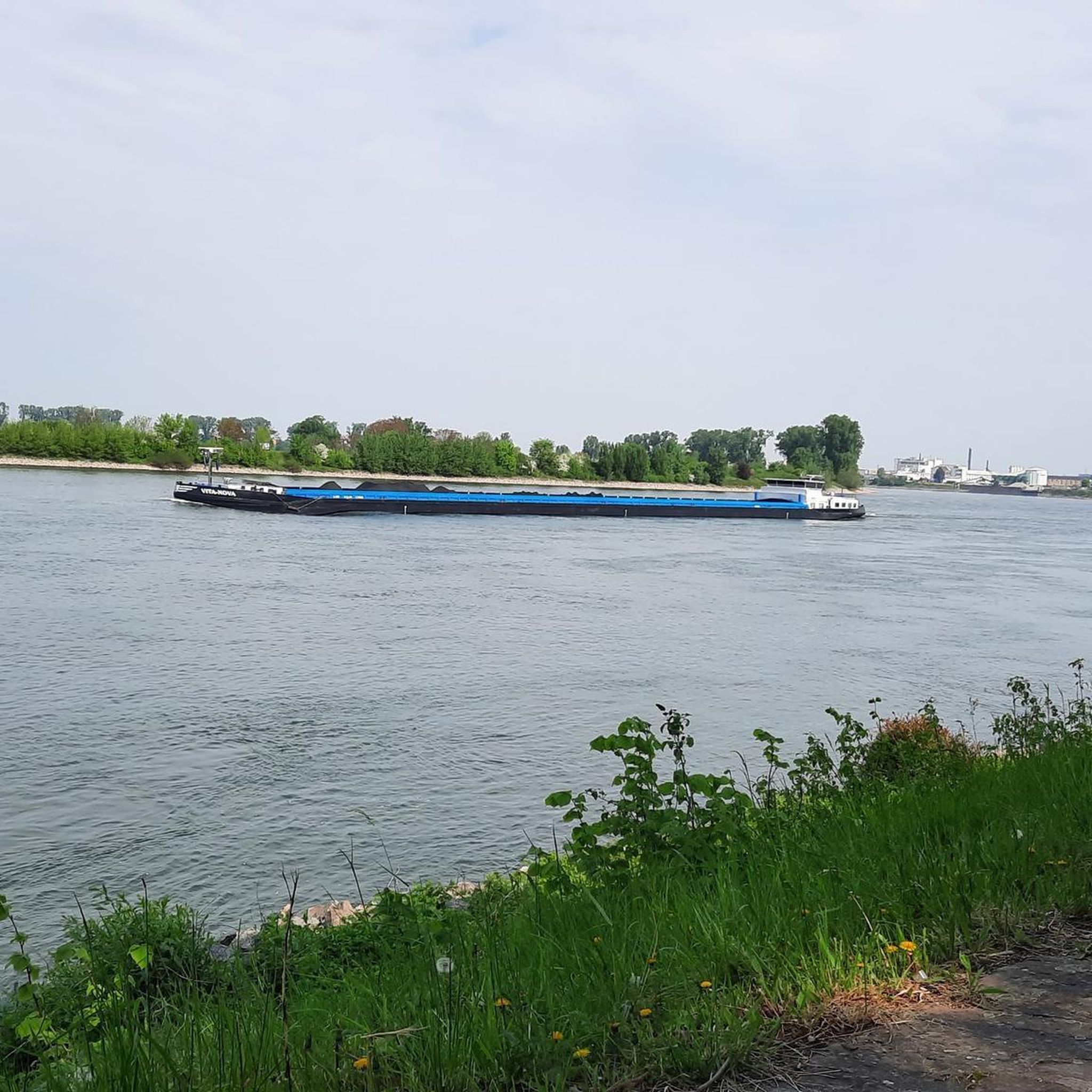
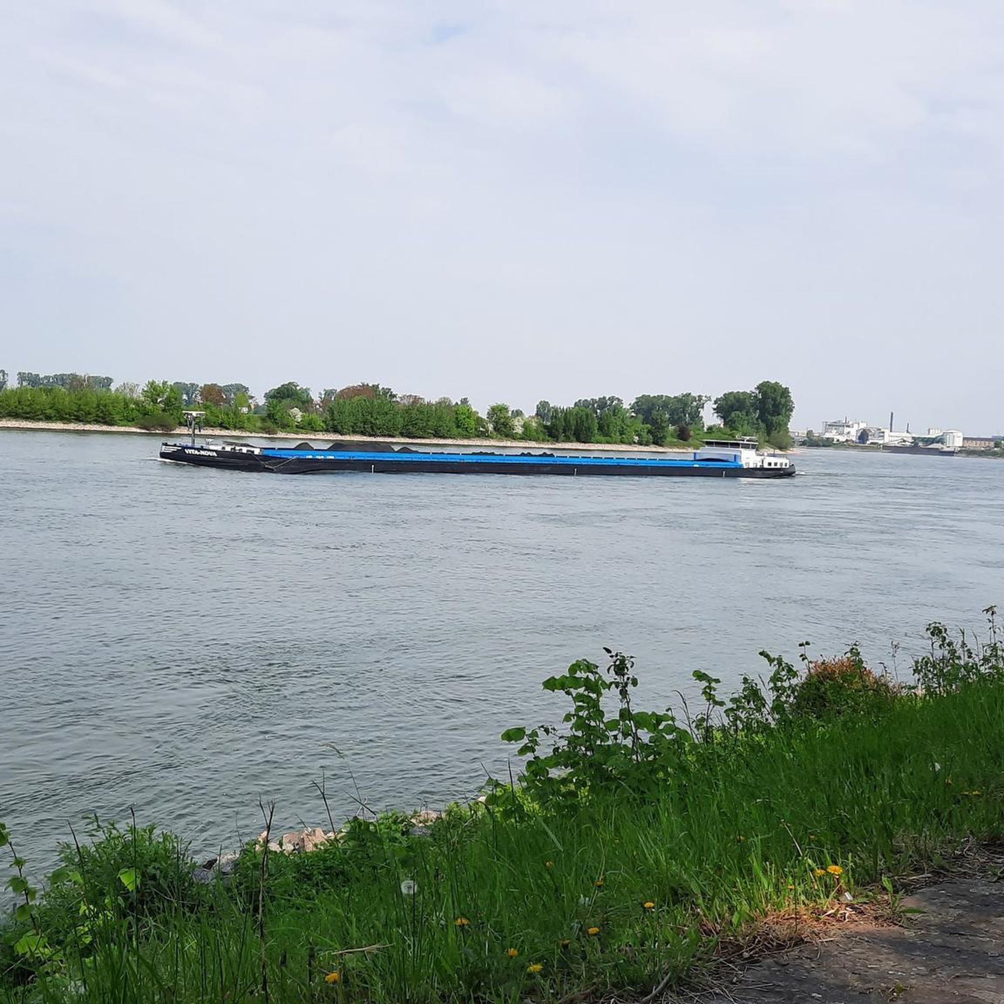
This is clearly a former towpath (also known as a "chemin de halage"), running alongside the canal bed, parallel to the man-made waterway. In earlier times, such paths were an indispensable part of the transportation infrastructure. Before ships could be propelled by motors, horses walked along the banks, pulling the vessels against the current. This was called "treideln," and that's how towpaths got their name, which has been passed down to this day. Where these paths, running close to the banks, have been preserved, they are popular with hikers, walkers, joggers, and cyclists.
0
0


Nothing too difficult to discover the Geodesic Tower, a very beautiful forest in spring
0
0

Magnificent Ourcq canal that starts from Paris and ends in Silly-La-Poterie in the Aisne department and crosses 5 departments. It takes about 110 kilometers to connect it from start to finish, but it is definitely worth doing.
0
0

the walk around the Ourcq canal
1
0

The banks along the Marne always offer beautiful motifs.
0
0

Nice place for a stopover
0
0

Bridge overlooking the Marne near the Grand-Voyeux nature reserve.
0
0
샹브리 주변에서 가장 인기 있는 명소


더 살펴보기
다른 지역의 최고의 하이킹를 살펴보세요.
