20의 루신지스가지 명소 & 주요 장소
루신지스에는 둘러볼 만한 장소가 많답니다. 하이킹 또는 사이클링을 좋아한다면 루신지스에 숨겨진 20
가지 보석을 만날 수 있을 거예요. 이 지역의 주요 명소를 살펴보면서 다음 모험을 계획해보세요.
마지막 업데이트: 10월 18, 2026
Col de Cou
하이라이트 • 산악 고개
번역자 Google •
팁에 의해

Téléphérique du Salève
하이라이트 • 정상
번역자 Google •
팁에 의해

이런 장소를 발견하려면 지금 가입하세요
최고의 싱글 트랙, 봉우리 및 다양한 흥미로운 야외 장소에 대한 추천을 받아보세요.


라 구이유 오 모르
하이라이트 • 호수
Gouille aux Morts: What an ugly name for this charming little pond. Beavers, mallards, herons, and especially frogs …
번역자 Google •
팁에 의해
무료로 가입하여 루신지스 주변의 더 많은 명소를 발견하세요.
이미 komoot 계정이 있나요?
오늘 무료 계정으로 시작하세요
다음 모험이 기다리고 있어요.
커뮤니티 팁

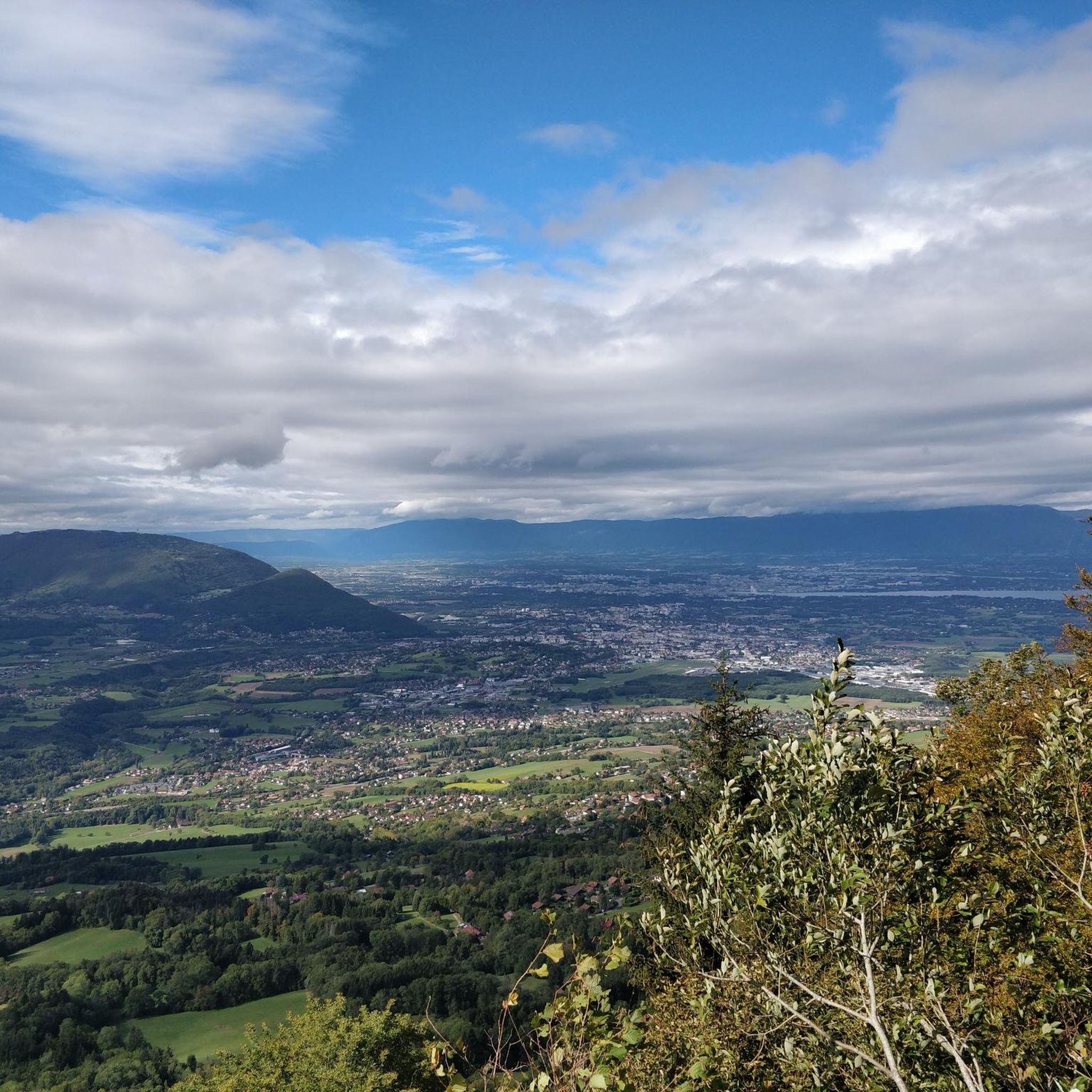
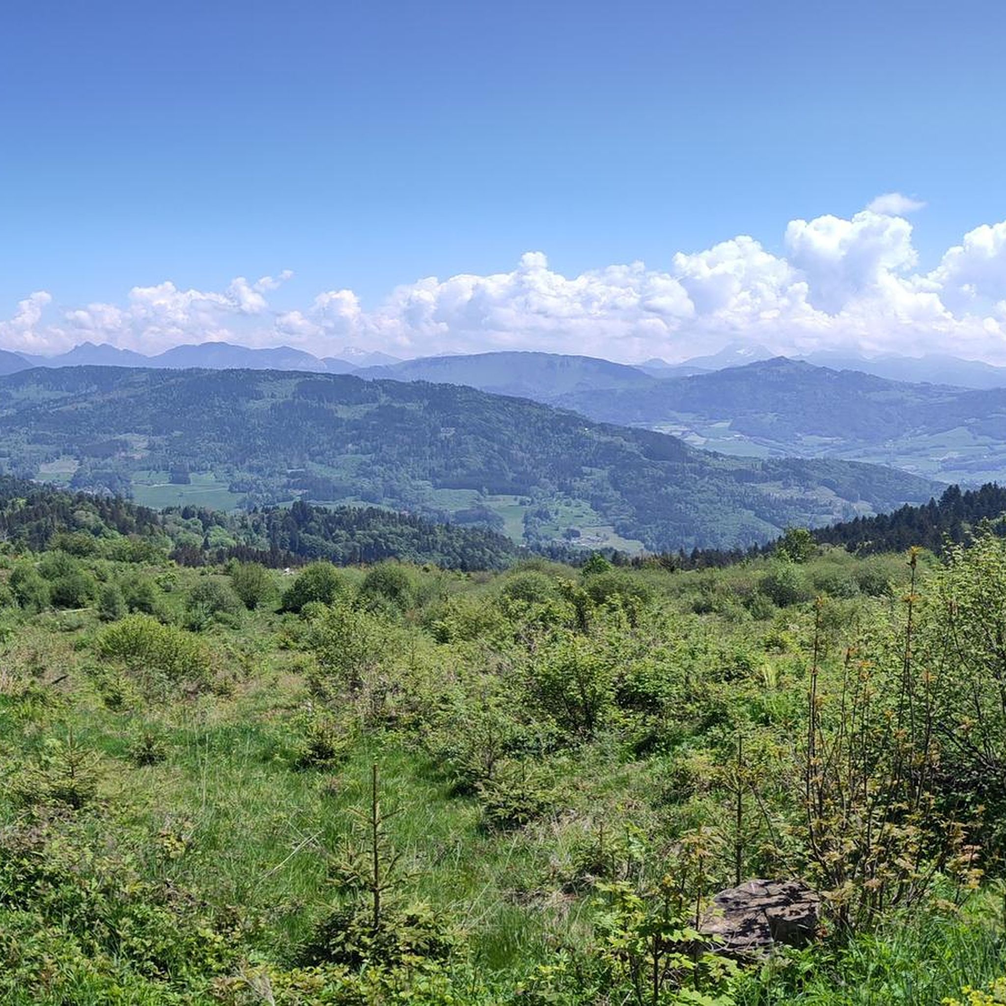
A beautiful view of Geneva, or rather, its clouds.
0
0

Intersection Point: La Gouille aux Morts (Pond of the Dead) Altitude 650m Gouille aux Morts: What an ugly name for this charming little pond. Beavers, mallards, herons, and especially frogs take shelter in its tall grass and breed there. The place is calm and peaceful, far from the road to the Vallée Verte (Green Valley), although you can still hear the sounds of traffic. Above it, the Molière à Vachat stream is mirrored in its waters. Its reflection blends with the water lilies scattered there, creating perfect harmony. A delight for the eye of the walker. It's impossible not to think of Monet's "Water Lilies." It is said that, long ago, two stonemasons working at the "Molière," located about fifty meters above, fell to their deaths there on a Sunday (yes, a Sunday...the Lord's Day). See: H. Savoie: Les Molières du Mont Vouan. Or perhaps the pond got its name because a peasant was swallowed up there with his cart...
1
0


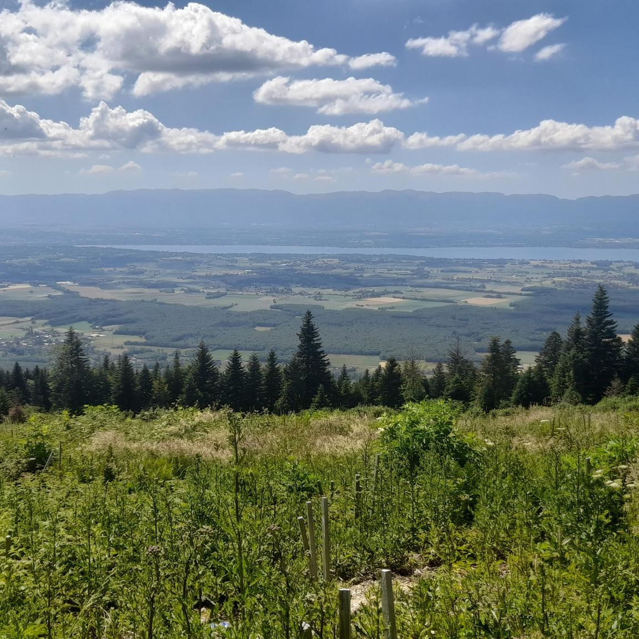
Cycling down from Salève, this breathtaking view of the Geneva region and the lake is the final reward of this demanding climb. You can dream for a long time in front of this landscape, or have a drink, stretch out on the lawn, and watch the paragliders fly just above. SUMMER SEASON | FROM APRIL 1, 2025 TO NOVEMBER 2, 2025 Open daily. Last ascent at 6:30 p.m. | Last descent at 6:45 p.m. Late openings on Thursdays, Fridays, and Saturdays: Last ascent at 10:30 p.m. | Last descent at 10:45 p.m. The 360° terrace closes at 6:30 p.m. Prices: €18 (adult) / €13 (reduced) / €6.50 (children)
0
0


Easy - free parking (with macaron) at Le Griffon Tennis Club. Can be very muddy in parts after rain. Good all year nature reserve but few birds in Winter.
0
0

The Col de Cou, at an altitude of 1,117 metres, takes you from the Vallée Verte to the Côte-en-Chablais region. Several roads lead there, which allows you to train by varying the routes and difficulties. The hardest climb is the one on the western slope from Fessy, with seven kilometres at an average of 7.5%.
1
0

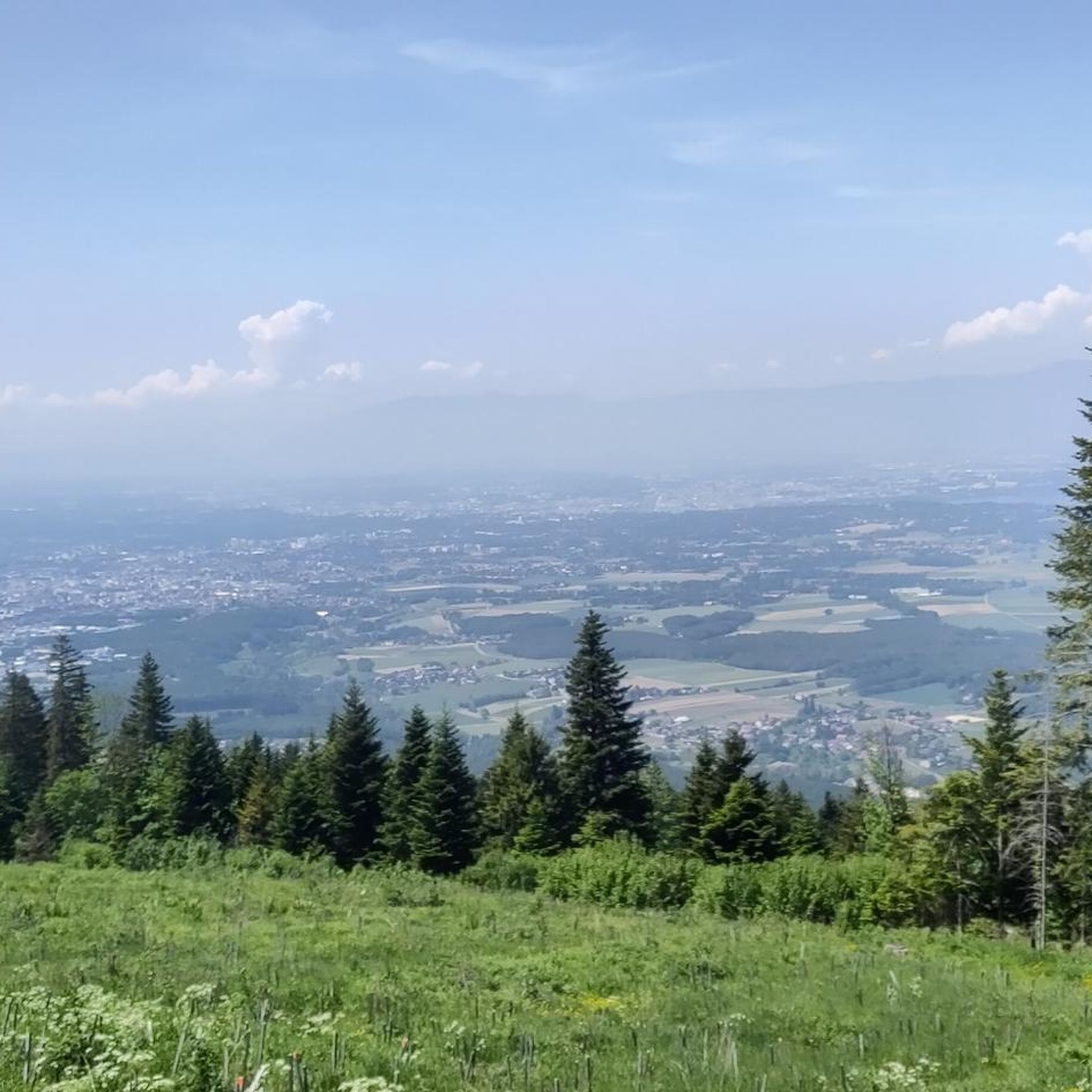
great walk, didn't last, magnificent view of the Alps, Jura, Saleve...I recommend it when you have 3 hours to spare
0
0
루신지스 주변에서 가장 인기 있는 명소


더 살펴보기
찾고 있는 하이라이트를 아직 못 찾으셨나요? 다른 지역의 주요 명소 가이드를 확인해보세요:
