몽길베르트 최고의 러닝 경로
4.6
(33)
1,288
달리기 하는 사람
58
러닝
몽길베르트에서 하이킹하며 생장 드 모리엔 구석 부분까지 살펴볼까요? 몽길베르트에 있는 모든 하이킹 및 워킹 경로 컬렉션 중 가장 멋진 하이킹 경로를 엄선하여 소개해드릴게요. 다른 하이커가 공유한 실제 팁과 사진을 살펴보고 후기를 읽으며 마음에 드는 몽길베르트 워킹 경로를 찾아보세요.
마지막 업데이트: 8월 25, 2026
115
달리기 하는 사람
68.8km
10:54
3,770m
3,760m
어려운 조깅. 우수한 체력 필요. 튼튼한 신발을 신고 미끄러지지 않게 조심해야 하며, 높은 산을 오른 경험이 있어야 함.
5.0
(1)
13
달리기 하는 사람
6.97km
00:52
280m
280m
보통 조깅. 좋은 체력 필요. 대부분 포장된 지면. 실력과 관계없이 누구나 갈 수 있음.

무료 회원 가입
8
달리기 하는 사람
14.2km
01:32
190m
190m
보통 조깅. 좋은 체력 필요. 대부분 포장된 지면. 실력과 관계없이 누구나 갈 수 있음.
6
달리기 하는 사람
5.39km
00:39
110m
110m
보통 조깅. 좋은 체력 필요. 대부분 포장된 지면. 실력과 관계없이 누구나 갈 수 있음.
3.0
(1)
3
달리기 하는 사람
9.10km
01:02
110m
110m
보통 조깅. 좋은 체력 필요. 대부분 포장된 지면. 실력과 관계없이 누구나 갈 수 있음.
더 다양한 경로와 다른 탐험가들의 추천을 살펴보세요.
무료 회원 가입
이미 komoot 계정이 있나요?
투어 추천은 다른 사람들이 komoot에서 완료한 수천 개의 활동을 바탕으로 구성되어 있습니다.
오늘 무료 계정으로 시작하세요
다음 모험이 기다리고 있어요.
로그인 또는 가입하기
몽길베르트 주변 인기 장소
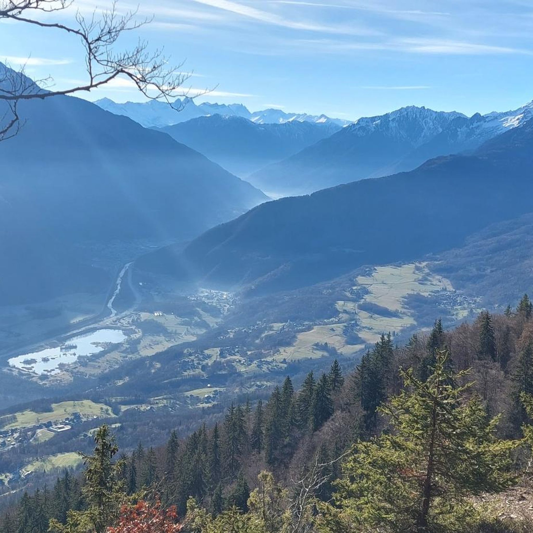
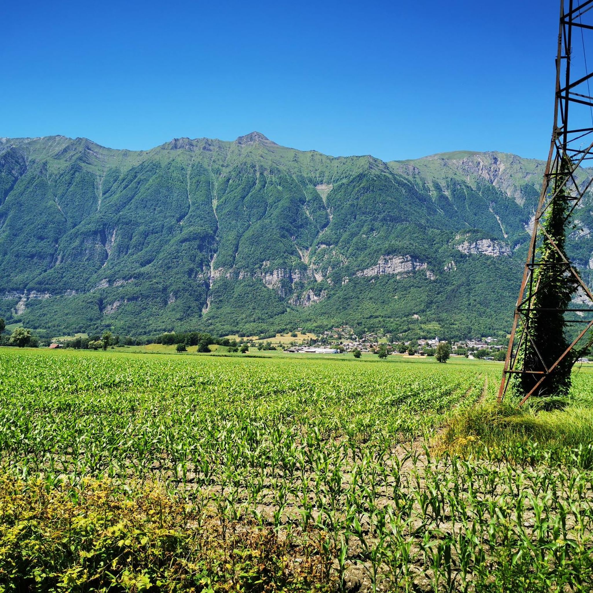
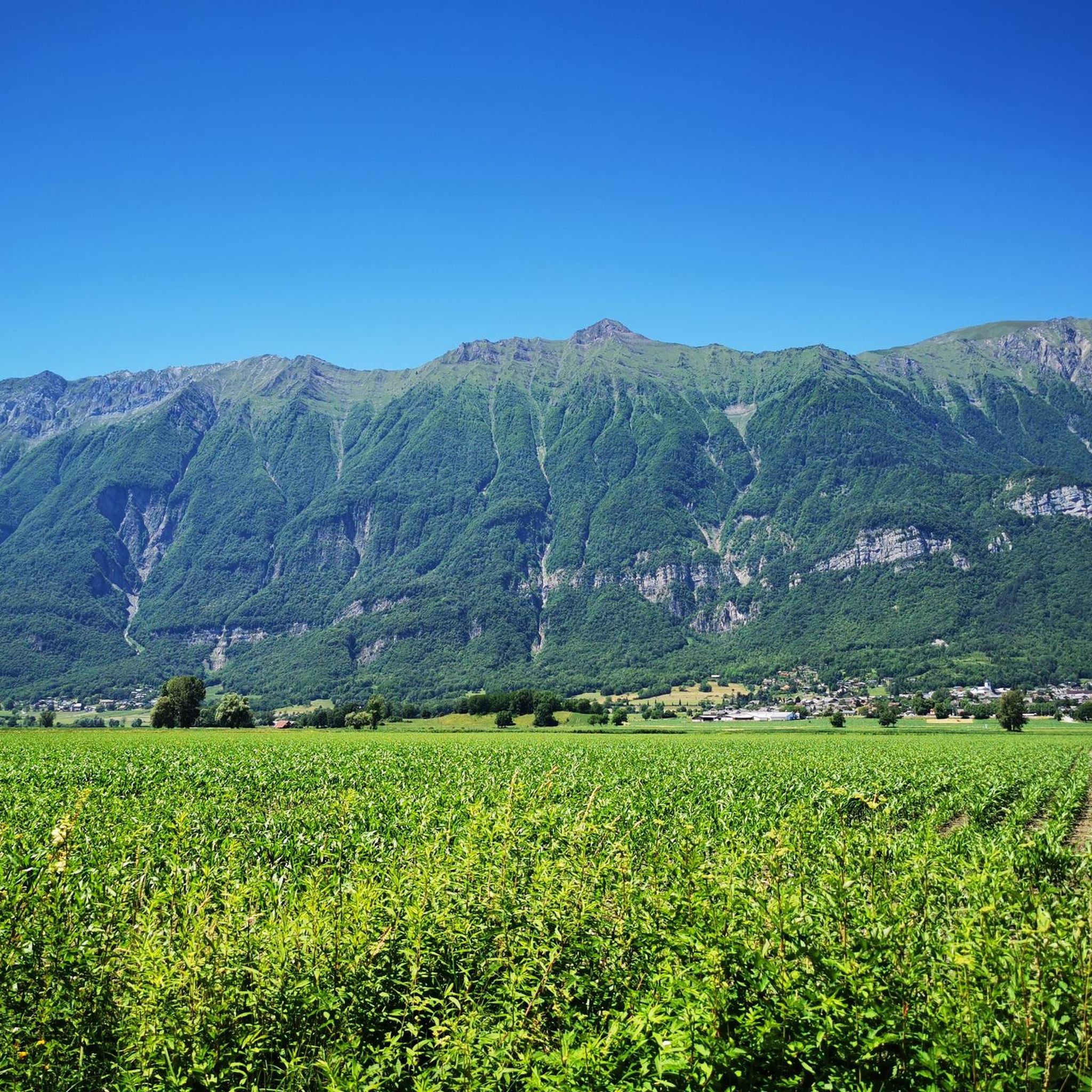
커뮤니티 팁

magnificent view of the snow-capped mountains at the end of May
1
0

Large parts of the tour have very little traffic, so you can enjoy the beautiful nature even more.
1
0

Col la Perche is located at an altitude of 1,986 meters, between Pointe de Rognier (2,341 meters) and Chapotet (2,083 meters).
0
0
Aiguebelle marks the entrance to the Maurienne valley. It is a small living town with a rich past, from where a good number of hikes start.
0
0
The Col de la Perrière is located at an altitude of 2,003 meters. It offers a superb view of the Grand Charnier, the Grands Moulins, the Frêche, the Tête de la Perrière and the Grand Miceau.
0
0
It is a superb passage, at an altitude of 1,850 meters. The panorama opens onto the Lauzière chain, Mont Blanc and Pointe de Rognier. A small lake is at the level of the pass, it is the lake of the Frogs.
0
0

Lovely col well away from the busy roads of the valley floor and a great picnic spot when the sun is out and legs are tired!
1
0

Very nice steady climb from Chamoux, under the trees, and on a road with good asphalt.
1
0
몽길베르트 주변에서 가장 인기 있는 경로
몽길베르트 주변에서 가장 인기 있는 명소


더 살펴보기
다른 지역의 최고의 러닝 트레일 & 경로를 살펴보세요.
