샤티용 앙 미샤유 최고의 라이딩 경로
4.5
(194)
3,515
자전거 타는 사람
12
라이딩
샤티용 앙 미샤유의 로드 사이클링 경로를 찾으시나요? 그렇다면 샤티용 앙 미샤유 로드 라이딩 컬렉션 중에서 가장 멋진 라이딩 장소를 아래에서 살펴보세요.
마지막 업데이트: 10월 10, 2026
4.5
(4)
45
자전거 타는 사람
38.2km
02:09
840m
840m
보통 도로 자전거 타기. 좋은 체력 필요. 지면 대부분이 잘 포장되어 있고 라이딩하기 쉬움.
31
자전거 타는 사람
48.4km
02:13
580m
580m
보통 도로 자전거 타기. 좋은 체력 필요. 지면 대부분이 잘 포장되어 있고 라이딩하기 쉬움.

20
자전거 타는 사람
31.5km
01:39
520m
520m
보통 도로 자전거 타기. 좋은 체력 필요. 지면 대부분이 잘 포장되어 있고 라이딩하기 쉬움.
28
자전거 타는 사람
27.7km
01:41
720m
720m
보통 도로 자전거 타기. 좋은 체력 필요. 지면 대부분이 잘 포장되어 있고 라이딩하기 쉬움.
17
자전거 타는 사람
20.3km
01:20
610m
610m
보통 도로 자전거 타기. 좋은 체력 필요. 지면 대부분이 잘 포장되어 있고 라이딩하기 쉬움.
더 다양한 경로와 다른 탐험가들의 추천을 살펴보세요.
이미 komoot 계정이 있나요?
투어 추천은 다른 사람들이 komoot에서 완료한 수천 개의 활동을 바탕으로 구성되어 있습니다.
오늘 무료 계정으로 시작하세요
다음 모험이 기다리고 있어요.



커뮤니티 팁


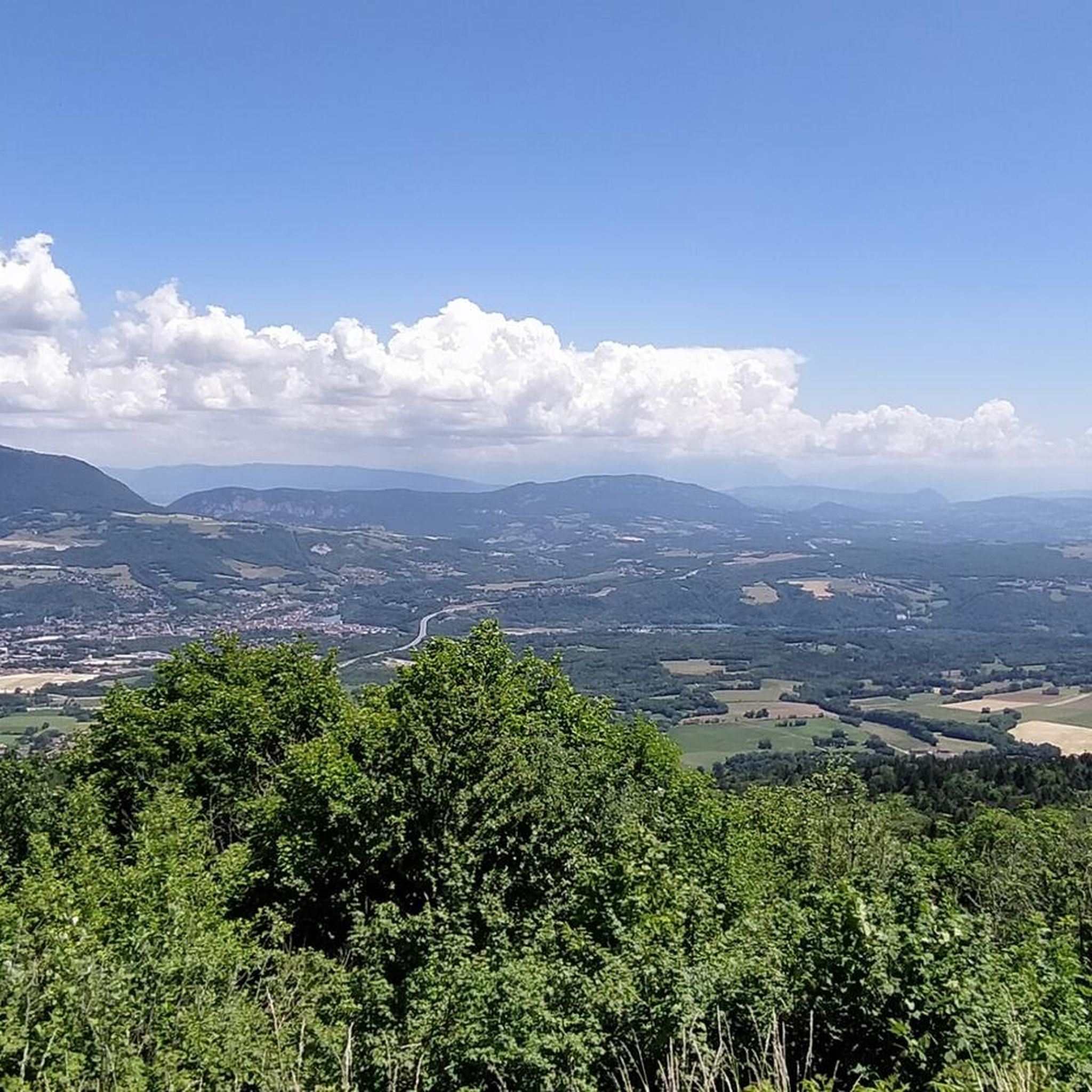
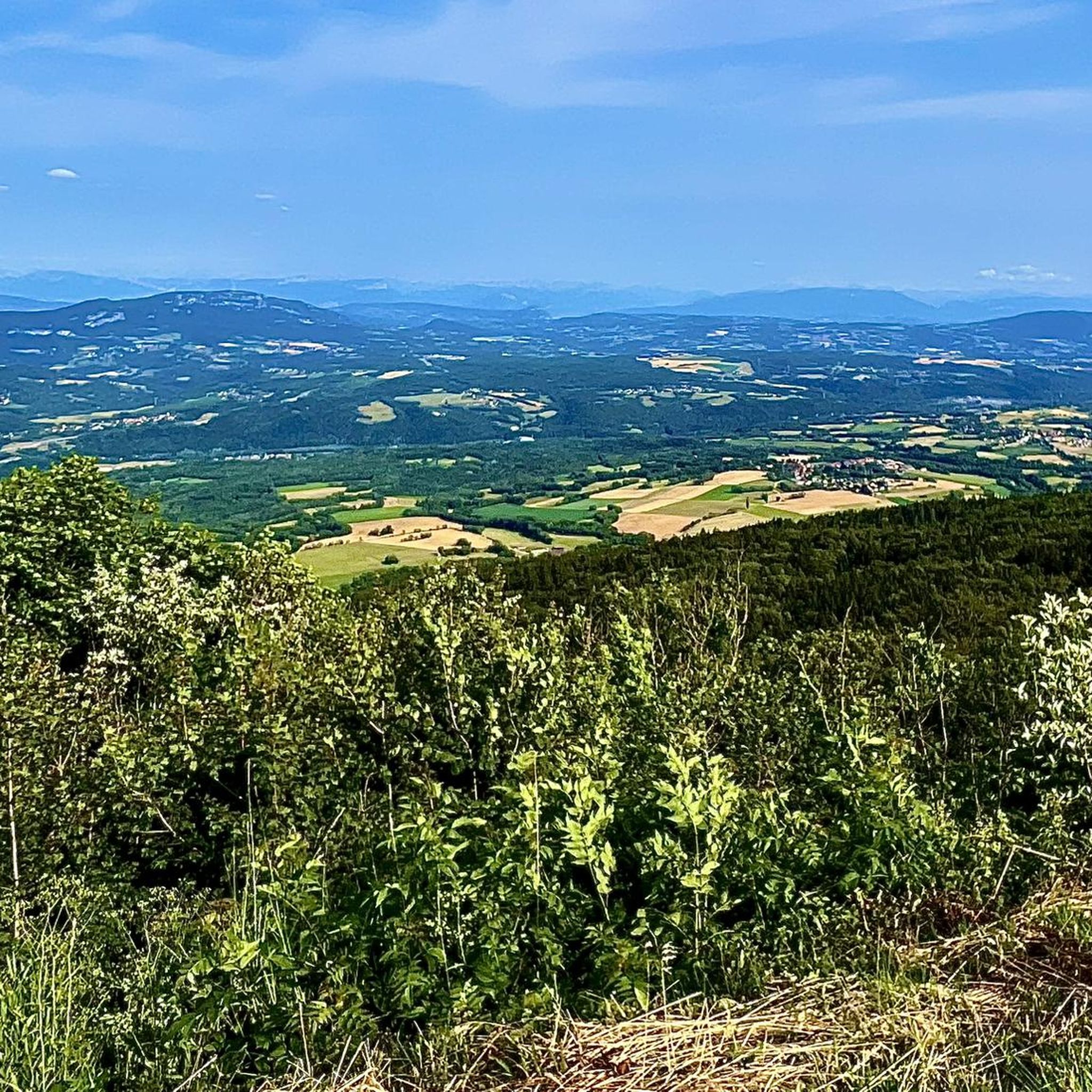
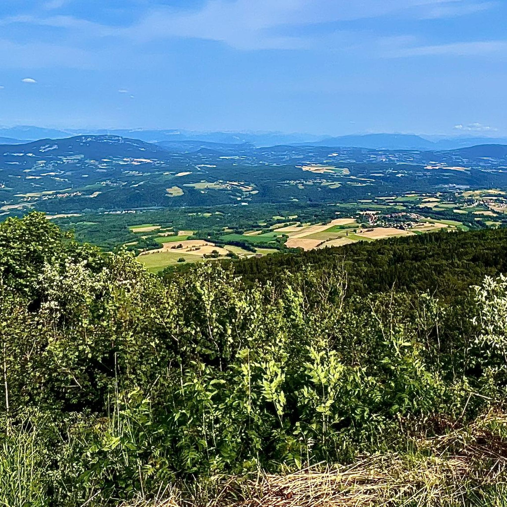
A 10 km climb from the small roundabout in Châtillon, it's more like 14 km from the Nantua road or the center of Bellegarde. The gradient is fairly steady, ranging from 5.5% to 7.2%, with about ten small steep sections at +8.5%. Very quiet, with very few cars. The road is generally in good condition, but nothing more. There are some beautiful views along the way.
1
1

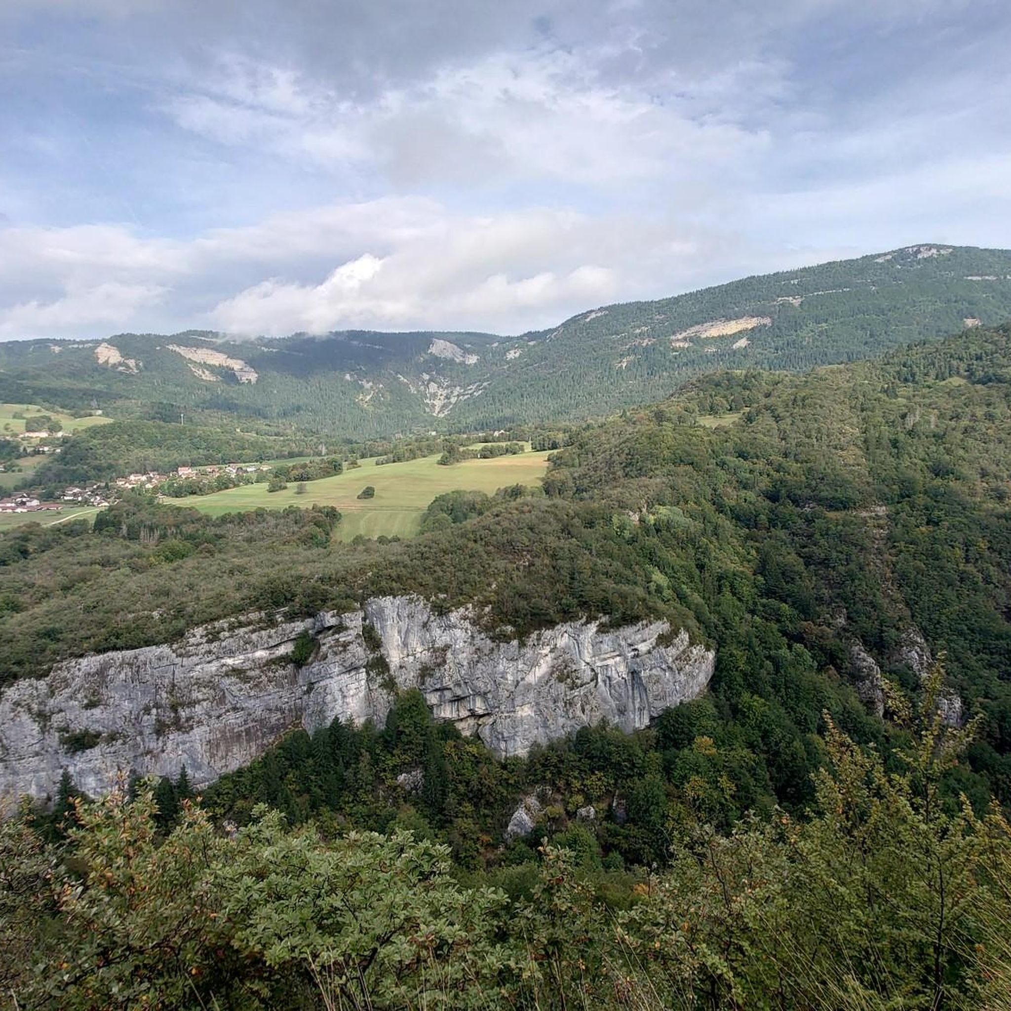
The Col de Bérentin connects the Valserine Valley to the Retord Plateau, passing through the beautiful Jura forests. Its ascent is gradual and the road is little traveled.
0
0


Second pass for today. Pass elevation 1144 m above sea level. Long climb, basically from Saint Germain to here. A total of about 700 m elevation gain and 12 km. The gradient is only 4-6%, but with 20 kg of luggage, everything is difficult ;) Here, too, the weather was still quite cool in very early April. Partly rain, partly windy.
0
0


Wall painted by “Hors les Murs” in the town of Billiat
0
0
샤티용 앙 미샤유 주변에서 가장 인기 있는 명소


더 살펴보기
다른 지역의 최고의 로드 사이클링 경로를 살펴보세요.
