20의 레 콤베가지 명소 & 주요 장소
레 콤베에는 둘러볼 만한 장소가 많답니다. 하이킹 또는 사이클링을 좋아한다면 레 콤베에 숨겨진 20
가지 보석을 만날 수 있을 거예요. 이 지역의 주요 명소를 살펴보면서 다음 모험을 계획해보세요.
마지막 업데이트: 9월 12, 2026
라 브레빈 기상 관측소
하이라이트 • 기념물
번역문 보기
팁에 의해

생트 라데곤드 예배당
하이라이트 • 기타
번역자 Google •
팁에 의해

이런 장소를 발견하려면 지금 가입하세요
최고의 싱글 트랙, 봉우리 및 다양한 흥미로운 야외 장소에 대한 추천을 받아보세요.

오테리브 라 프레세 근처 슈민 뒤 트레인
하이라이트 (구간) • 기타
번역자 Google •
팁에 의해
무료로 가입하여 레 콤베 주변의 더 많은 명소를 발견하세요.
이미 komoot 계정이 있나요?
오늘 무료 계정으로 시작하세요
다음 모험이 기다리고 있어요.
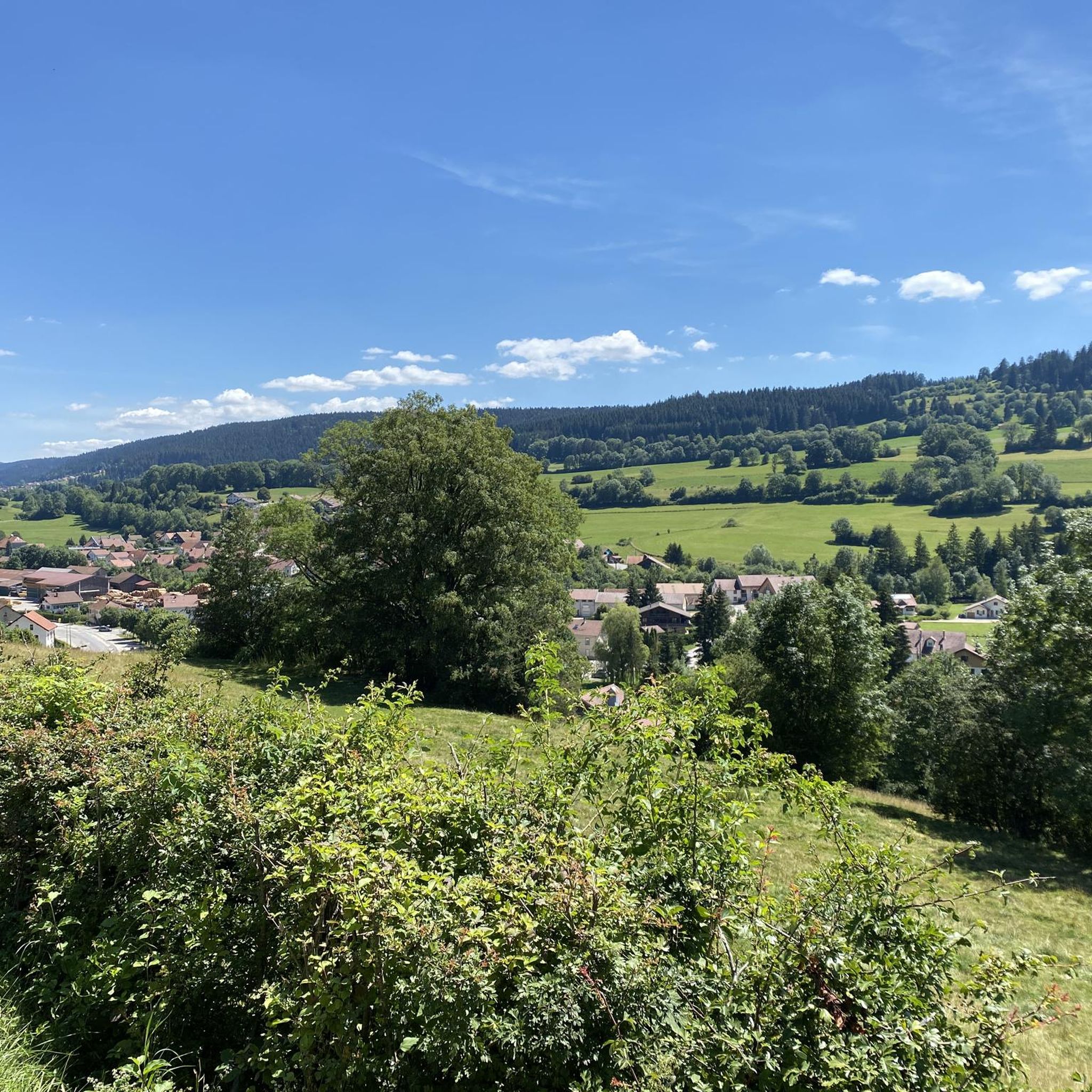
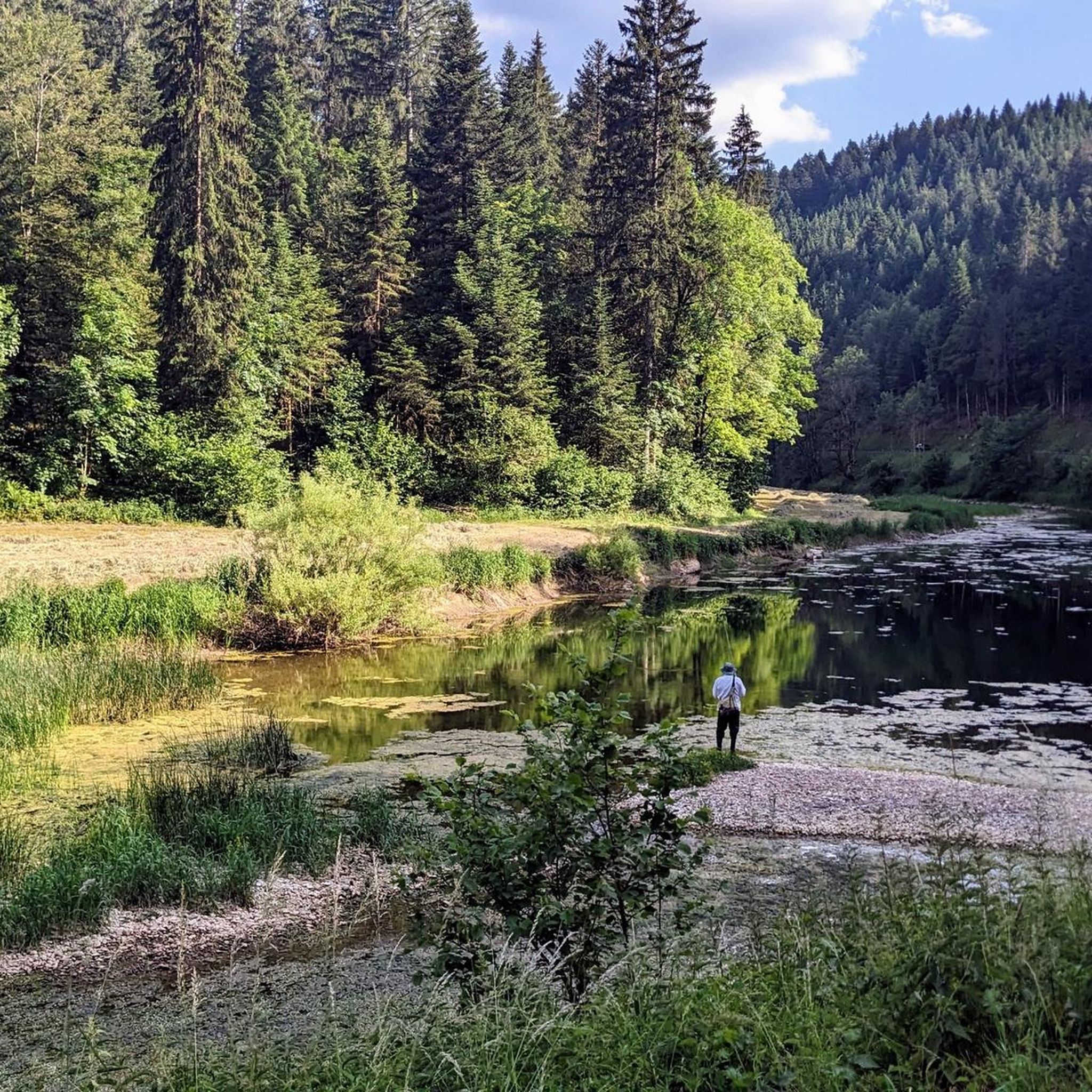
커뮤니티 팁


A unique promontory combining a place of worship and an exceptional panorama over the Val de Vennes and even the Jungfrau, a peak of over 4000m in the Bernese Alps in Switzerland!
0
0

When you are slowly losing your strength, such a path is wonderful. And when you still have strength, even more so
0
0

Col sur le Mont from Grand'Combe-Châteleu is a climb located in the Doubs region. This climb is 3.9 kilometers long, for an elevation gain of 203 meters. Col sur le Mont from Grand'Combe-Châteleu has an average slope of 5.2%. The highest point is 962 meters above sea level. The road is paved, but it's not the newest, so be careful, there might be potholes.
0
0

If you are looking for a historic and picturesque hike in the Doubs, you can visit the Sainte-Radegonde de Loray chapel. This chapel was built in 1541 and was a place of pilgrimage for people with walking difficulties. It is said that Sainte-Radegonde, former queen of the Franks, fought and defeated a ghoul there. The chapel is located near the Roche Barchey, a rock formation with a deep pit that was believed to be a gate to hell. You can enjoy the panoramic view from the Roche Barchey belvedere and see the traces of an ancient castle nearby.
3
0
This belvedere offers an exceptional panorama of the Val de Morteau, the Swiss Jura and even the Alps on a clear day. You can access the belvedere by car from Les Fins or Morteau, or follow a 7 km loop trail which starts from Les Beuclets and passes through the Bois des Suchaux and the Bois du Fol. The trail is well marked and mostly shaded, with some open field sections. You can picnic at the lookout, where there are several tables and orientation signs. You can also watch paragliders take off or land from the nearby slope. The Mont Vouillot Belvedere is an ideal place to admire the beauty of nature and breathe fresh air.
3
0

겨울철 스위스에서 가장 낮은 기온을 기록하는 곳: 라 브레빈(La Brévine)은 거칠고 비교적 습한 기후가 특징입니다. 겨울에는 완전히 고립된 라 브레빈 계곡(Vallée de la Brévine)에서 복사 냉각 밤 동안 차가운 공기 호수가 형성됩니다(맑은 하늘과 거의 또는 전혀 바람이 불지 않아 지표면의 최대 냉각을 복사로 인해 발생시킴). 이로 인해 종종 −30°C의 온도가 기록되며, 이로 인해 이 지역은 '스위스의 시베리아'라는 별명을 얻게 되었습니다. 라 브레빈 측정소에서는 1987년 1월 12일에 스위스 메테오스위스(MeteoSchweiz) 공식 관측소에서 기록된 최저 기온인 −41.8°C가 측정되었습니다. 1991-2020년 평균 기간 동안 연평균 기온은 5.3°C이며, 1월은 −3.5°C로 가장 추운 달 평균 기온을, 7월은 14.4°C로 가장 더운 달 평균 기온을 기록합니다. 평균적으로 이곳에서는 약 183일의 결빙일과 36일의 결빙일을 예상할 수 있습니다. 연평균 여름날은 15~16일이며, 평균적으로 1일의 폭염일이 기록됩니다. 메테오스위스 측정소는 해발 1050미터 높이에 위치해 있습니다.
0
0

Nice walk, practicable with a road bike. Slight false flat going up from Pontarlier. Beautiful wooden statues mark the end of the route.
0
0
레 콤베 주변에서 가장 인기 있는 명소


더 살펴보기
찾고 있는 하이라이트를 아직 못 찾으셨나요? 다른 지역의 주요 명소 가이드를 확인해보세요:
