밀리라포레 최고의 러닝 경로
4.6
(23)
610
달리기 하는 사람
42
러닝
밀리라포레에서 하이킹하며 에브리 구석 부분까지 살펴볼까요? 밀리라포레에 있는 모든 하이킹 및 워킹 경로 컬렉션 중 가장 멋진 하이킹 경로를 엄선하여 소개해드릴게요. 다른 하이커가 공유한 실제 팁과 사진을 살펴보고 후기를 읽으며 마음에 드는 밀리라포레 워킹 경로를 찾아보세요.
마지막 업데이트: 10월 16, 2026
4.0
(2)
146
달리기 하는 사람
24.1km
02:55
210m
210m
어려운 조깅. 우수한 체력 필요. 튼튼한 신발을 신고 미끄러지지 않게 조심해야 하며, 높은 산을 오른 경험이 있어야 함.
5.0
(2)
75
달리기 하는 사람
16.6km
02:01
180m
180m
어려운 조깅. 우수한 체력 필요. 대부분 포장된 지면. 실력과 관계없이 누구나 갈 수 있음.

4.7
(10)
46
달리기 하는 사람
9.45km
01:05
80m
80m
보통 조깅. 좋은 체력 필요. 대부분 포장된 지면. 실력과 관계없이 누구나 갈 수 있음.
18
달리기 하는 사람
18.2km
02:16
250m
250m
어려운 조깅. 우수한 체력 필요. 대부분 포장된 지면. 실력과 관계없이 누구나 갈 수 있음.
13
달리기 하는 사람
9.12km
00:58
20m
20m
보통 조깅. 좋은 체력 필요. 대부분 포장된 지면. 실력과 관계없이 누구나 갈 수 있음.
더 다양한 경로와 다른 탐험가들의 추천을 살펴보세요.
이미 komoot 계정이 있나요?
투어 추천은 다른 사람들이 komoot에서 완료한 수천 개의 활동을 바탕으로 구성되어 있습니다.
오늘 무료 계정으로 시작하세요
다음 모험이 기다리고 있어요.

커뮤니티 팁

The trail moves on to the main essentials The hall In 1479, by a special grace from Louis The North-South facing Hall, 46 m long, 16 m wide and 13 m high, covers a total surface area of 730 m2. 48 oak pillars, resting on “dice”-cut stone bases, support a chestnut frame typical of Ile-de-France at that time; this frame presents to the north (on the rue Langlois side) a “pavilion” farm. Today, La Halle is still the site of a market on Thursday afternoons. The square, the houses gathered all around, bear witness to the great commercial activity which already reigned in the region 500 years ago. La Halle has been classified as a Historic Monument since 1923. Bonde Castle is located near the town center of Milly-la-Forêt, Built near an artificial island in the l'École river to the west of the Notre-Dame collegiate church, its park is bordered to the west by the course of the river which forms a moat to the north protecting the châtelet. History Built in the 12th century by the lords of Milly, the castle was ruined during the English siege in 1432. At the end of the 15th century around 1475, owned by Admiral Louis Malet de Graville, it was rebuilt and enlarged. What was then the keep became the entrance gatehouse, the drawbridge was replaced by a permanent stone bridge and a gate closed access between the northern defense tower and the governor's house. A square courtyard was surrounded by a wall and had in the center a chapel dedicated to Saint Valentine. The castle was successively the property of Hugues III de Bouville, Olivier V de Clisson, Jean II de Montmorency, Jean-François de Faudoas d'Averton, Marc-Antoine Front de Beaupoil de Saint-Aulaire and Pierre Marie of Lau d’Allemans. In the 19th century, the towers of the chatelet were enhanced with brick battlements and a slender roof. In 1859 the Corne bridge was rebuilt near the castle washhouse which served as a watering trough for the animals. At the end of the 20th century the mills along the river were demolished. In 1964, the Bonde washhouse downstream of the river which was part of the estate was rehabilitated. On December 20, 1972, the castle was partly listed as a historic monument. The park was listed in 1991 for its fences, canals and paths. the house of Jean Cocteau. Entrance to the J. Cocteau house [This 17th century residence, flanked by turrets, was formerly called the Governor's House. It corresponds to an old outbuilding of the castle in front of which the vassals came to pay homage and faith to their lord. Jean Cocteau bought this house with Jean Marais in 1947 and lived there until his death. Notre-Dame de l’Assomption Church Founded in the 11th century, the former chapel of the castle, it was rebuilt around 1485 on the orders of Admiral de Graville in the Gothic style of the 13th and 14th centuries. The bell tower, 57 meters high, dates from the 11th century in its lower part and from the 12th and 13th centuries in its upper part. The arch of the main portal in the primitive Romanesque style comes from an old church in Milly (Saint-Pierre or Saint-Jacques). On the east side of the bell tower - Place Grammont side - the arms of Admiral de Graville are still visible. Many works of sacred art are found inside the church. The church was listed as a Historic Monument in 1926. The dovecote; Located on the old triangular square of the dovecote cul de sac, this old building was part of the Domaine du Moustier, property of Fulbert I, lord of Milly and officer at the court of Dagobert I in the 7th century. Destroyed in 1432 or 1433, the complex included a vast farm. According to a count in 1792 it had around 1200 niches. Only the lords held the right to build these premises designed for breeding. The Moustier de Péronne gate is one of the oldest vestiges of Milly and dates from the 7th century. It provided access to the moustier (monastery in old French) owned by Fulbert I, who obtained the land of Milly from Dagobert I. His son Wulfran was born there around the year 635. Entering religion, he became the apostle of the frieze (Netherlands), then bishop of Sens before retiring to Saint Wandrille where he died in 720.
1
0

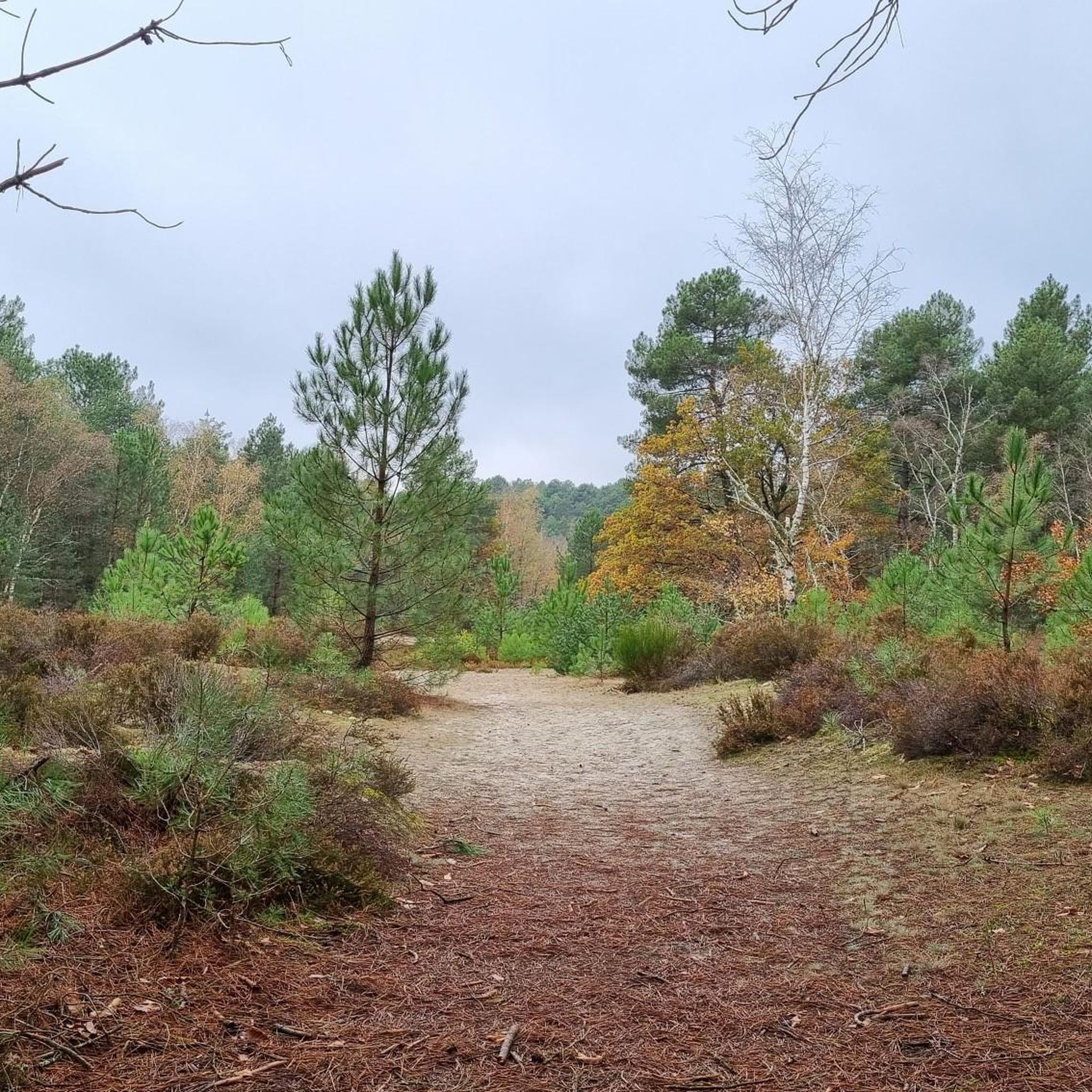
Miily-la-Forêt is a charming country town, in the heart of Gatinais. Ideal as a base from which to visit the forest of Fontainebleau and its famous rocks!
2
0

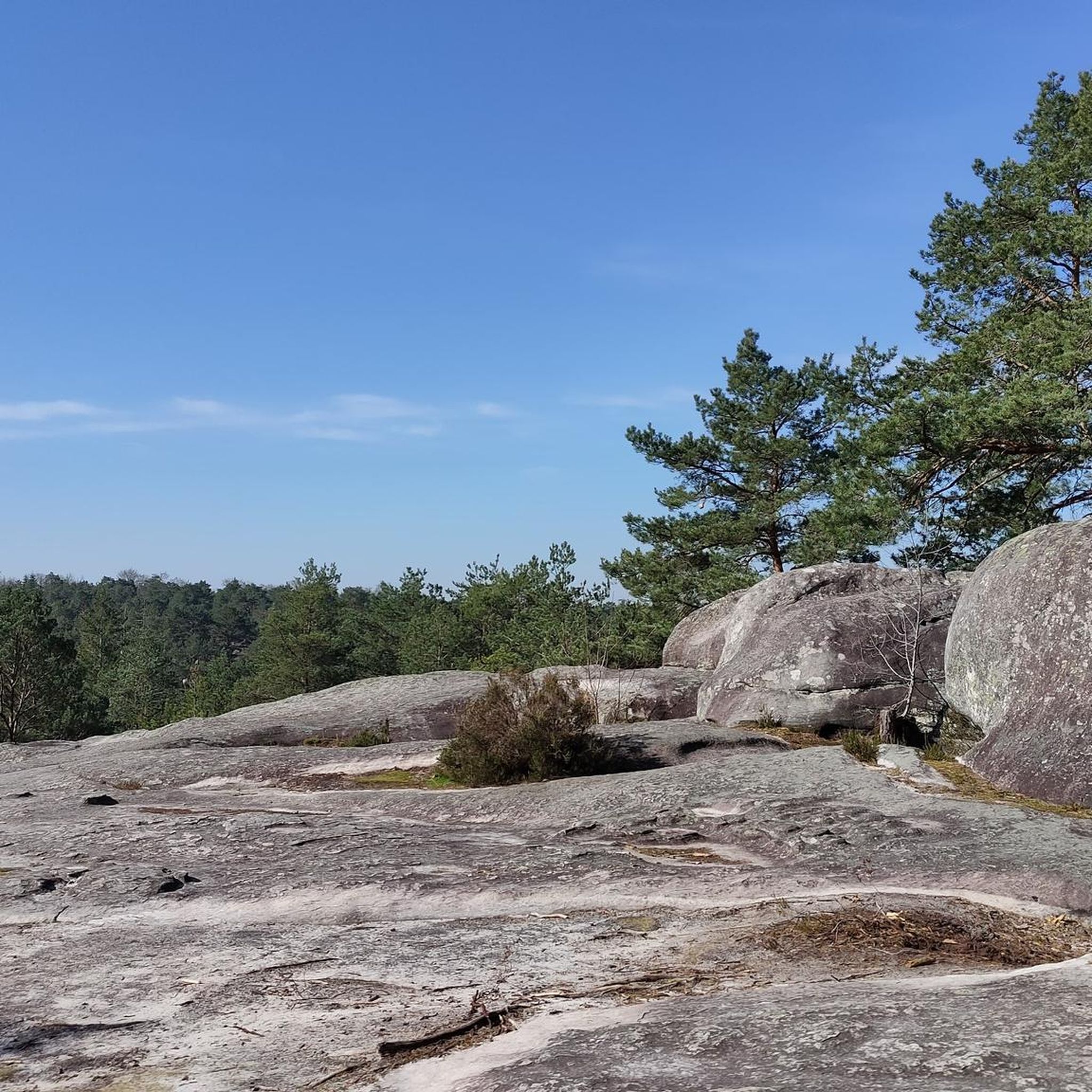
The single that overlooks this shelter is really nice
0
0

This set includes the old washhouse at La Bonde, restored in 1964 and originally intended for "small laundry" carried out once or twice a month. Separated by "the bridge of the Horn" rebuilt in 1859, the trough with 3 slopes with the paved bottom played a considerable role until 1930 because the very numerous domestic animals quenched their thirst there daily.
0
0

Collegiate Church of Our Lady of the Assumption of Milly-la-Forêt A chapel adjoining the castle was built in the 12th century. In the following century, it was erected as a collegiate church and the steeple raised. During the Hundred Years War, it was ruined like the rest of the city in 1356 then in 1371. Louis Malet de Graville who became lord of the place in 1480 began its reconstruction in a Gothic style. The choir and the nave were inaugurated in 1495. In 1630 the chapel of the Virgin was added then the right aisle in 1633, the same year as the portal recovered from the Saint-Pierre church, built in 667 on the left bank of the School. On March 6, 1926, the church was listed as a historical monument.
0
0
Located right next to the castle of the same name, this very well restored wash house offers a bit of freshness on these hot days.
0
0

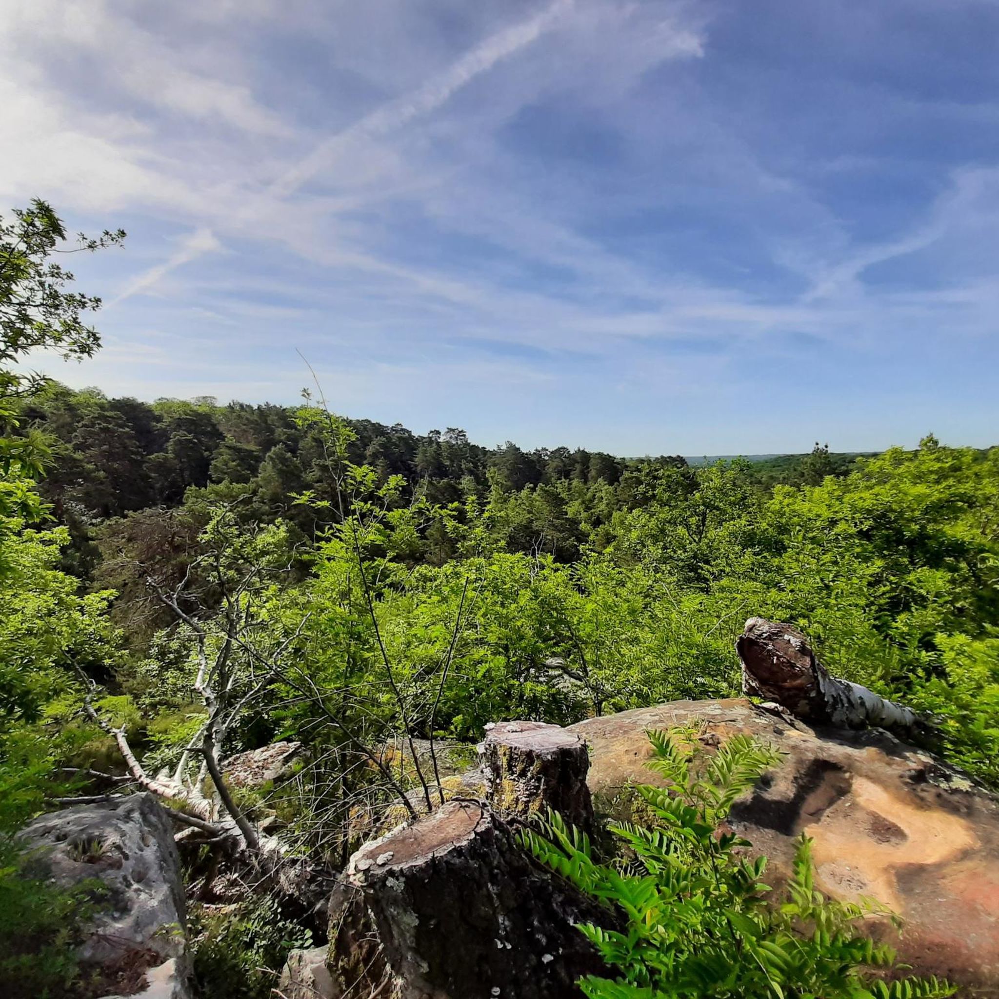
Ideal for a picnic or to take shelter
0
0

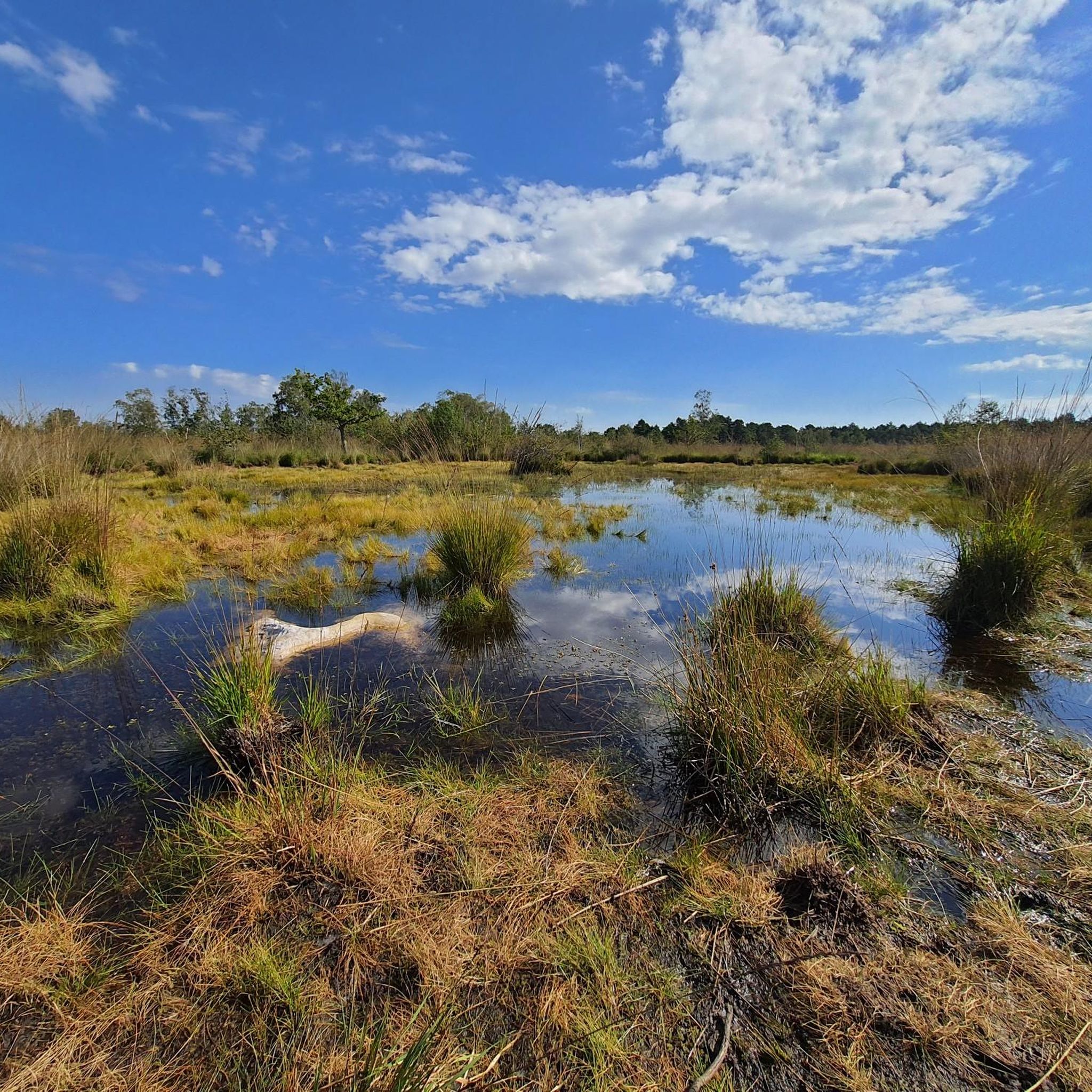
Beautiful plateau pond accessible near the superb Chemin de Courances à Coquibus.
0
0
밀리라포레 주변에서 가장 인기 있는 명소


더 살펴보기
다른 지역의 최고의 러닝 트레일 & 경로를 살펴보세요.
