레 오레스 최고의 라이딩 경로
4.4
(837)
37,128
자전거 타는 사람
112
라이딩
레 오레스의 로드 사이클링 경로를 찾으시나요? 그렇다면 레 오레스 로드 라이딩 컬렉션 중에서 가장 멋진 라이딩 장소를 아래에서 살펴보세요.
마지막 업데이트: 10월 16, 2026
4.8
(13)
504
자전거 타는 사람
46.9km
02:50
1,180m
1,180m
어려운 도로 자전거 타기. 우수한 체력 필요. 지면 대부분이 잘 포장되어 있고 라이딩하기 쉬움.
4.6
(24)
778
자전거 타는 사람
33.8km
02:09
980m
980m
어려운 도로 자전거 타기. 우수한 체력 필요. 지면 대부분이 잘 포장되어 있고 라이딩하기 쉬움.

4.8
(5)
114
자전거 타는 사람
50.0km
02:50
1,150m
1,150m
어려운 도로 자전거 타기. 우수한 체력 필요. 지면 대부분이 잘 포장되어 있고 라이딩하기 쉬움.
4.7
(3)
88
자전거 타는 사람
69.3km
04:15
1,810m
1,810m
어려운 도로 자전거 타기. 우수한 체력 필요. 지면 대부분이 잘 포장되어 있고 라이딩하기 쉬움.
5.0
(1)
53
자전거 타는 사람
27.2km
01:41
780m
780m
보통 도로 자전거 타기. 좋은 체력 필요. 지면 대부분이 잘 포장되어 있고 라이딩하기 쉬움.
더 다양한 경로와 다른 탐험가들의 추천을 살펴보세요.
이미 komoot 계정이 있나요?
투어 추천은 다른 사람들이 komoot에서 완료한 수천 개의 활동을 바탕으로 구성되어 있습니다.
오늘 무료 계정으로 시작하세요
다음 모험이 기다리고 있어요.

커뮤니티 팁

Châteauroux, the capital of the Indre, was founded around 937 AD when Raoul the Fat, Lord of Déols, built Château Raoul on the left bank of the Indre, the name from which the city derives. Developing as a center of craftsmanship, it was contested during the Hundred Years' War, becoming an important capital in the 19th century with industrialization and the construction of the railway.
4
0

great detox course
0
0
In the heart of the Hautes-Alpes, the Church of the Transfiguration (15th and 16th centuries) dominates the Durance Valley and houses highly valuable mural paintings.
9
0
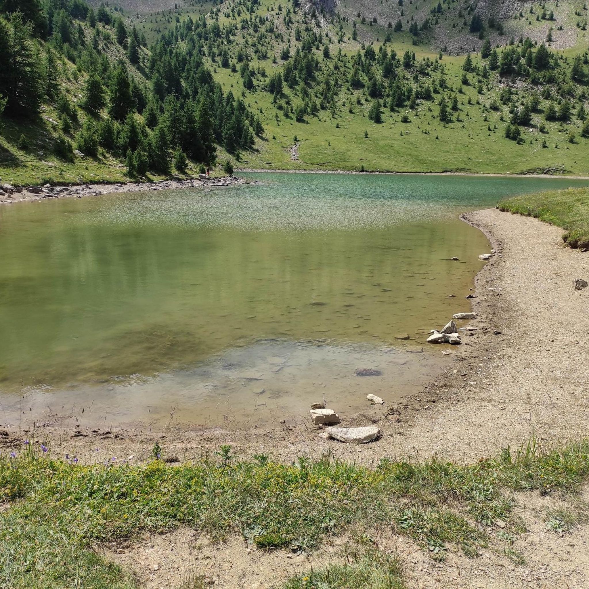
Artificial lake, attracts many tourists in summer.
11
0
From here you can admire Lake Sarre-Ponçon.
10
0

Perfect spot for sailing. I recommend the wingfoil and funboard school right next to the red bus (ask for Thierry)
0
0

레 오레스 주변에서 가장 인기 있는 명소


더 살펴보기
다른 지역의 최고의 로드 사이클링 경로를 살펴보세요.
