아울라스에서 가장 멋진 5개의 산 정상
아울라스의 산 정상에 오르면 이 지역의 아름다운 모습을 제대로 구경할 수 있어요. 다만, 5
곳이나 되는 산 정상 중에서 어떤 곳을 가야 할 지 고민된다는 게 문제죠. 아울라스에서 가장 멋진 산 정상을 살펴본 후에 마음에 드는 산 정상을 다음 모험 계획에 추가해보세요.
마지막 업데이트: 10월 30, 2026

발레라우그에서 아이구알 산 등반하기
하이라이트 (구간) • 등반
번역자 Google •
팁에 의해

이런 장소를 발견하려면 지금 가입하세요
최고의 싱글 트랙, 봉우리 및 다양한 흥미로운 야외 장소에 대한 추천을 받아보세요.


오늘 무료 계정으로 시작하세요
다음 모험이 기다리고 있어요.
커뮤니티 팁

염소를 만났을 때 팁: 사랑스럽지만 식탐이 많으니, 간식을 먹을 때는 염소 앞에서 꺼내지 마세요. 감당하기 어려워질 수 있습니다 😅
0
0


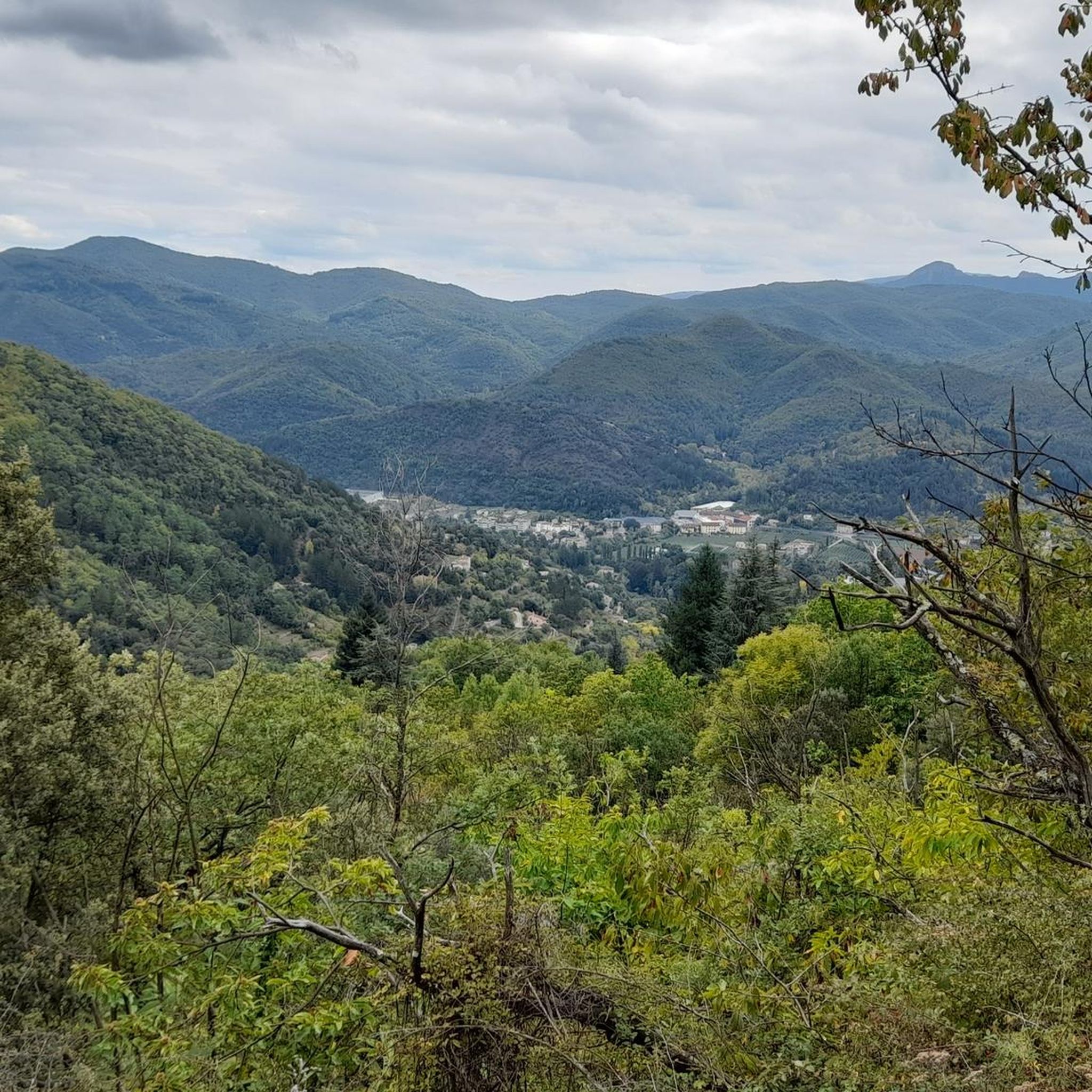
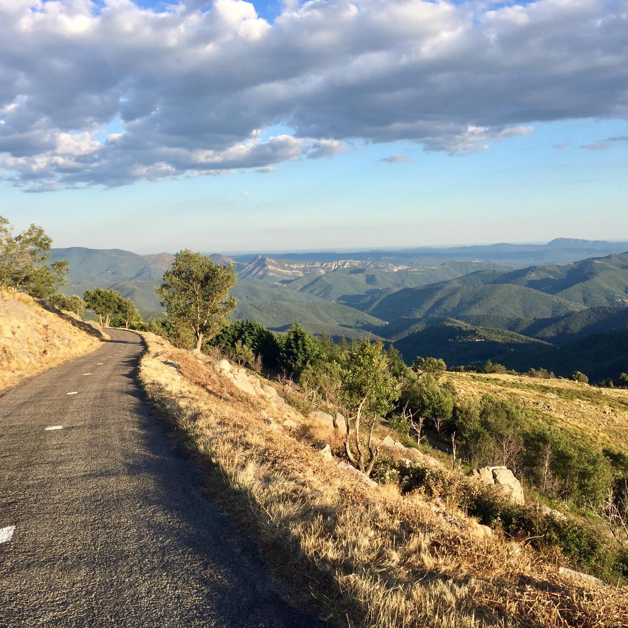
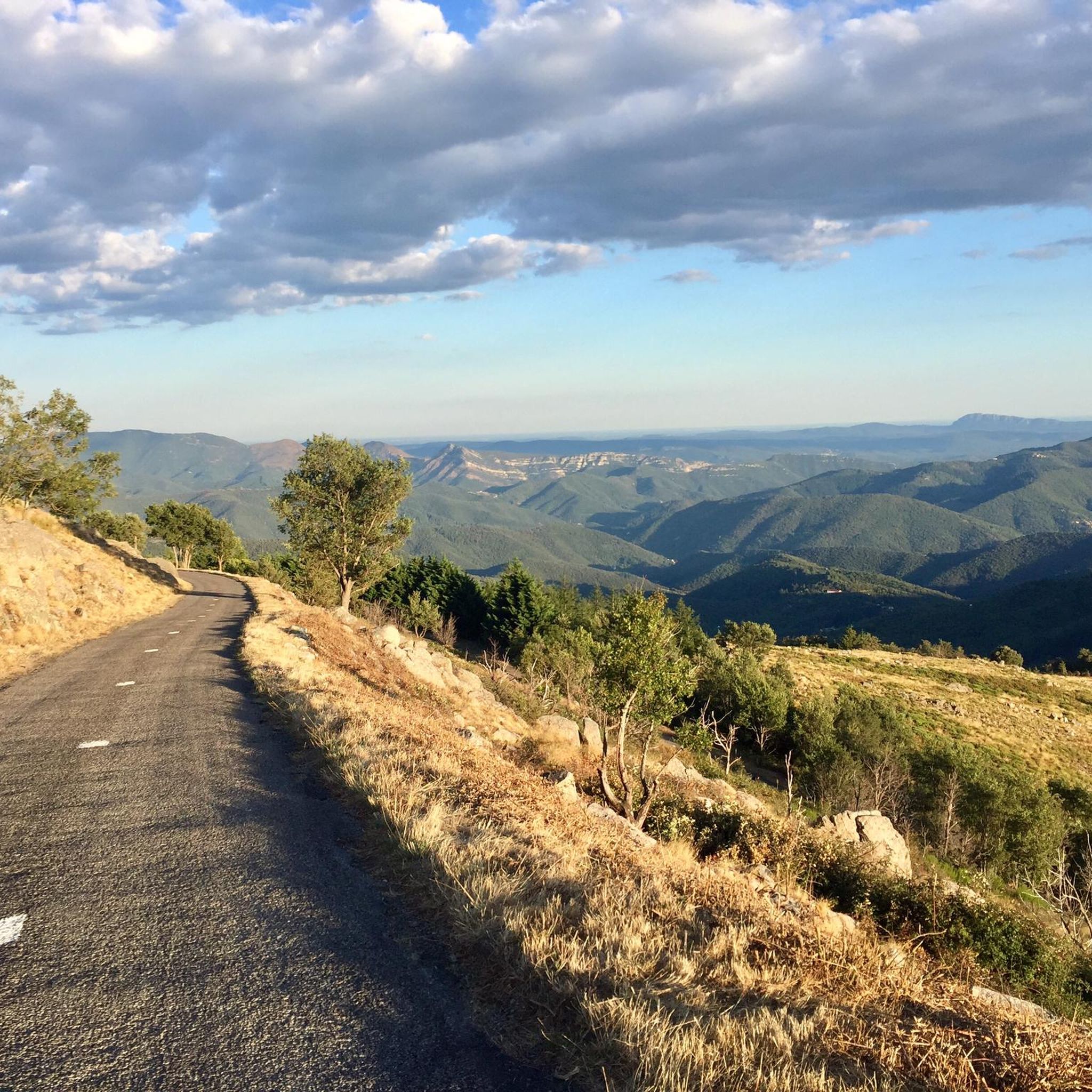
A first-class climb, the ascent of Mount Aigoual from Valleraugue is long but steady, covering 26 kilometers but averaging only 4.5%. Take your pace, don't push yourself, and admire the scenery.
0
0
Be careful, the ascent is technical and requires some fighting!
0
1

Culminating at an altitude of 864m, the Pic d'Anjeau offers a magnificent view of the Vis valley.
1
0

The rock of Saint-Guiral is well known because it is a place of passage of the Hospitaliers trail. It offers a superb panoramic view of the Cévennes.
1
0

Over 4000 stony steps to the summit: consistently steep but easy to walk
2
0

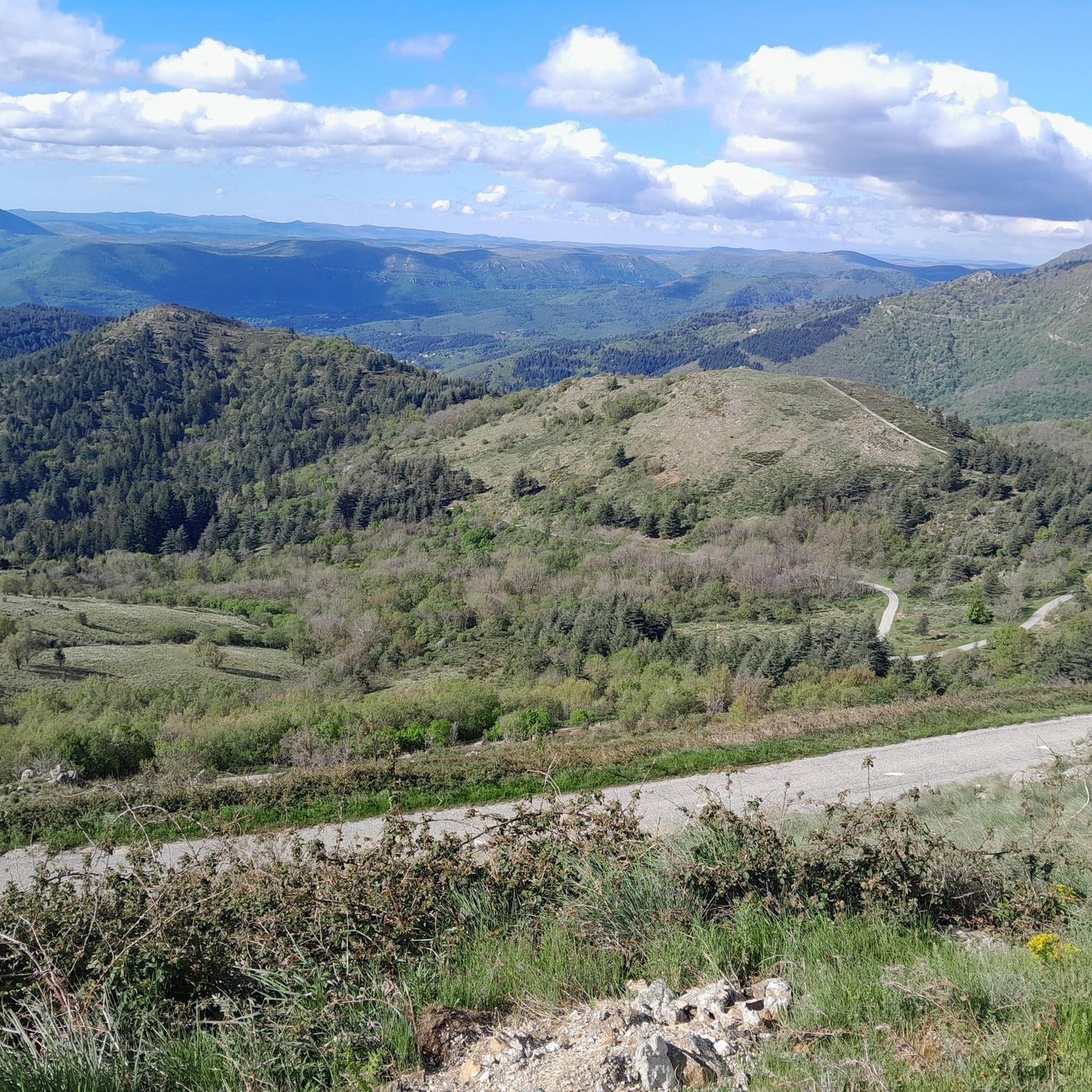
This section marks the actual core of the route: the ascent from Valleraugue to Mont Aigoual, the second highest point in the Cevennes, on which there is a weather station and viewing platform. There is a view to the Mediterranean in a southerly direction, which I was not allowed to do that day, and in a northerly direction to Mont Lozère. I would take sticks with me next time, because as an experienced trail runner you will speedhike over long distances. You don't have to constantly stare at your GPS, because you can't get lost on the ascent, at least. Theoretically there is a restaurant up here where you can buy something to eat or drink. When I got up here everything was closed and there were hardly any people around. So better take precautions.
1
0
아울라스 주변에서 가장 인기 있는 명소


더 살펴보기
이 가이드를 통해 아울라스 주변의 더 놀라운 정상들을 확인해보세요:
