바트 페테르스탈-그리스바흐 최고의 라이딩 경로
4.5
(315)
2,583
자전거 타는 사람
75
라이딩
바트 페테르스탈-그리스바흐의 로드 사이클링 경로를 찾으시나요? 그렇다면 바트 페테르스탈-그리스바흐 로드 라이딩 컬렉션 중에서 가장 멋진 라이딩 장소를 아래에서 살펴보세요.
마지막 업데이트: 10월 13, 2026
5.0
(1)
117
자전거 타는 사람
110km
05:48
1,920m
1,920m
어려운 도로 자전거 타기. 우수한 체력 필요. 지면 대부분이 잘 포장되어 있고 라이딩하기 쉬움.
4.5
(6)
60
자전거 타는 사람
43.6km
02:28
970m
970m
어려운 도로 자전거 타기. 우수한 체력 필요. 지면 대부분이 잘 포장되어 있고 라이딩하기 쉬움.

5.0
(2)
48
자전거 타는 사람
58.9km
02:29
340m
340m
보통 도로 자전거 타기. 좋은 체력 필요. 지면 대부분이 잘 포장되어 있고 라이딩하기 쉬움.
4.5
(4)
18
자전거 타는 사람
25.4km
01:15
360m
360m
보통 도로 자전거 타기. 좋은 체력 필요. 지면 대부분이 잘 포장되어 있고 라이딩하기 쉬움.
4.0
(1)
11
자전거 타는 사람
18.1km
01:18
670m
670m
보통 도로 자전거 타기. 좋은 체력 필요. 지면 대부분이 잘 포장되어 있고 라이딩하기 쉬움.
더 다양한 경로와 다른 탐험가들의 추천을 살펴보세요.
이미 komoot 계정이 있나요?
투어 추천은 다른 사람들이 komoot에서 완료한 수천 개의 활동을 바탕으로 구성되어 있습니다.
오늘 무료 계정으로 시작하세요
다음 모험이 기다리고 있어요.
바트 페테르스탈-그리스바흐 주변 인기 장소
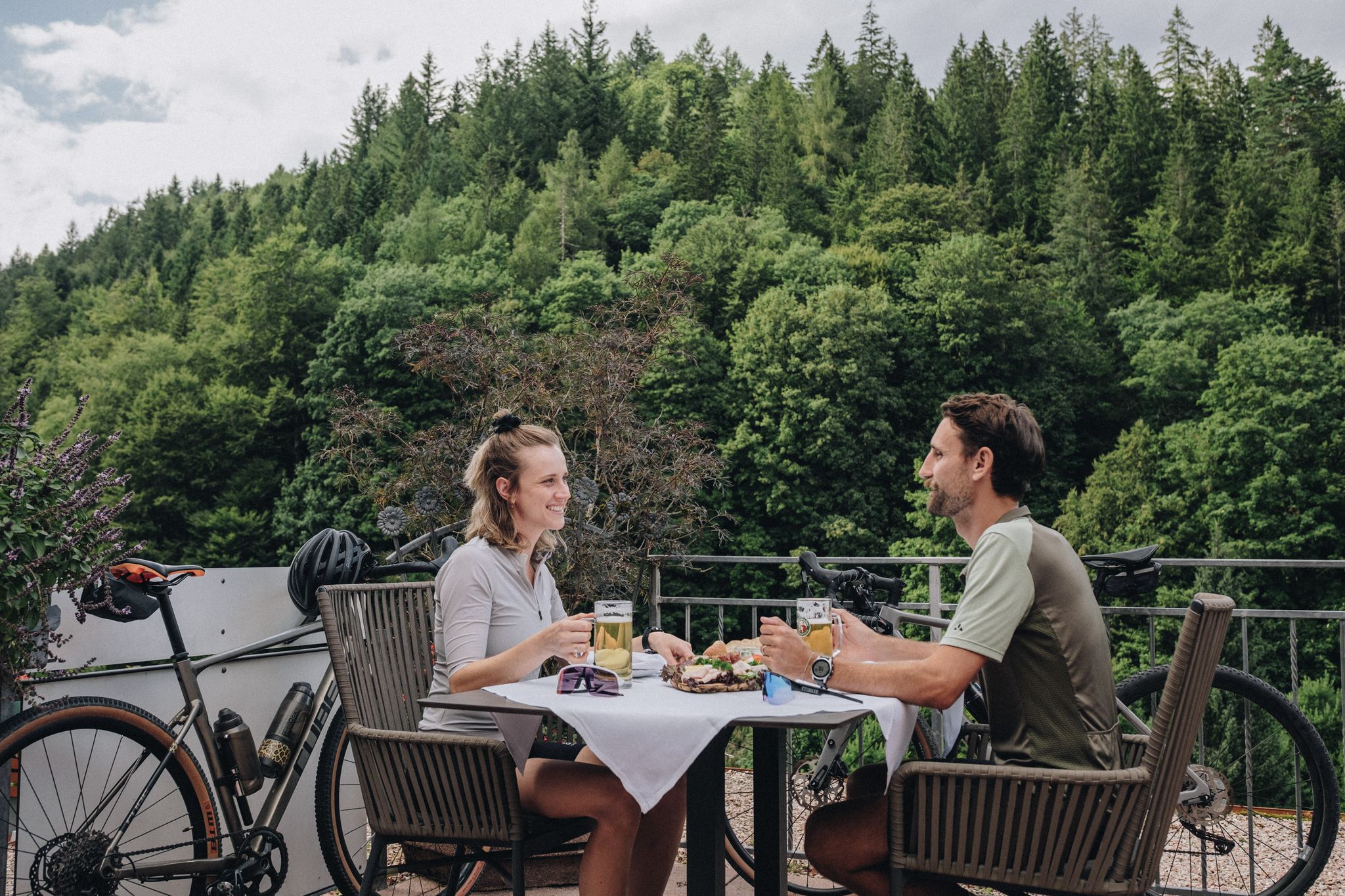
Feast, ride and discover – cycling and pleasure in the Black Forest
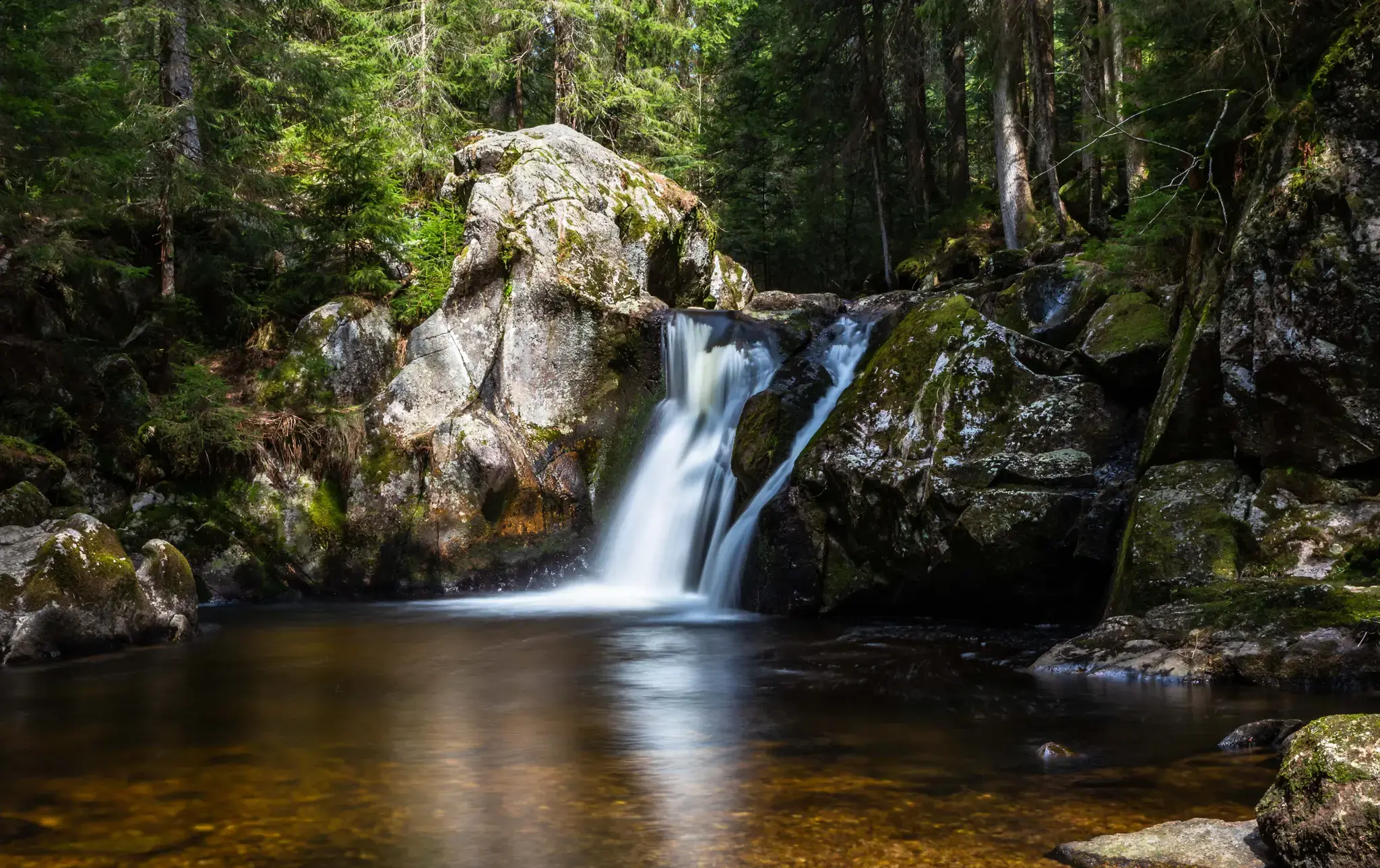
Hiking, ponds & waterfalls – superb Black Forest swimming spots

Coolcation in the Black Forest – hiking and cooling off in summer
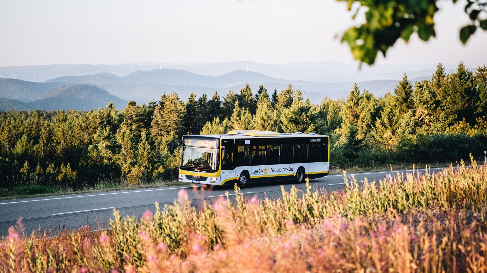
Pure nature: discover the Black Forest by bus and train
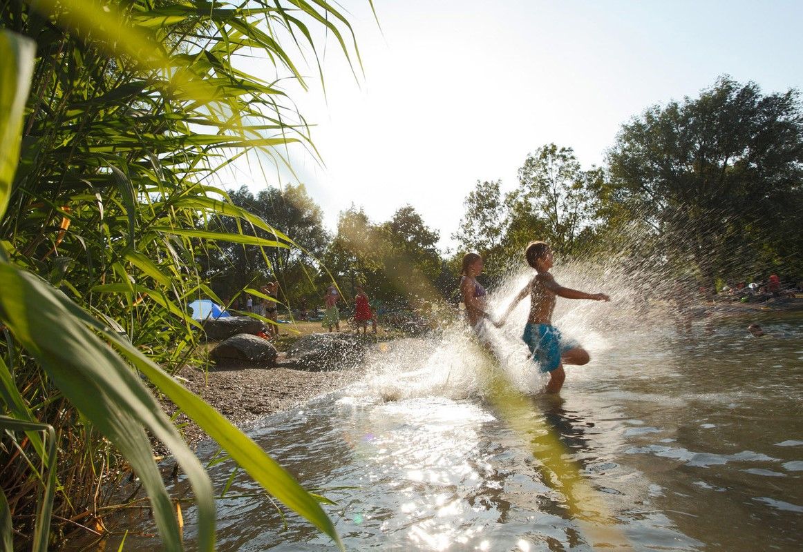
Refreshing summer hikes in Baden Wuerttemberg – bathing fun for the whole family
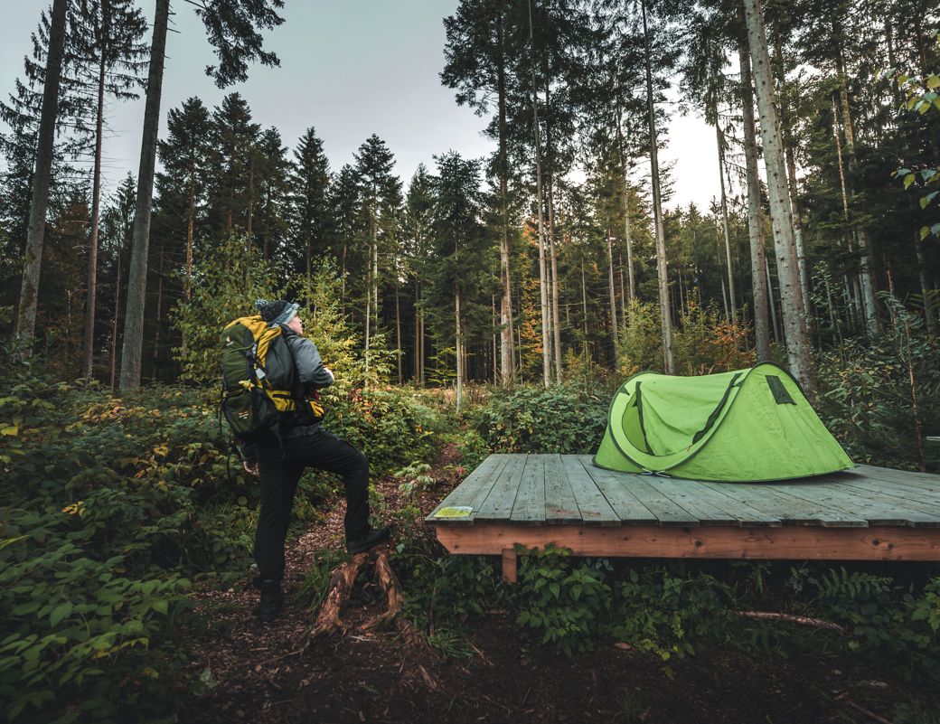
Special overnight stays and trekking camps in the Black Forest
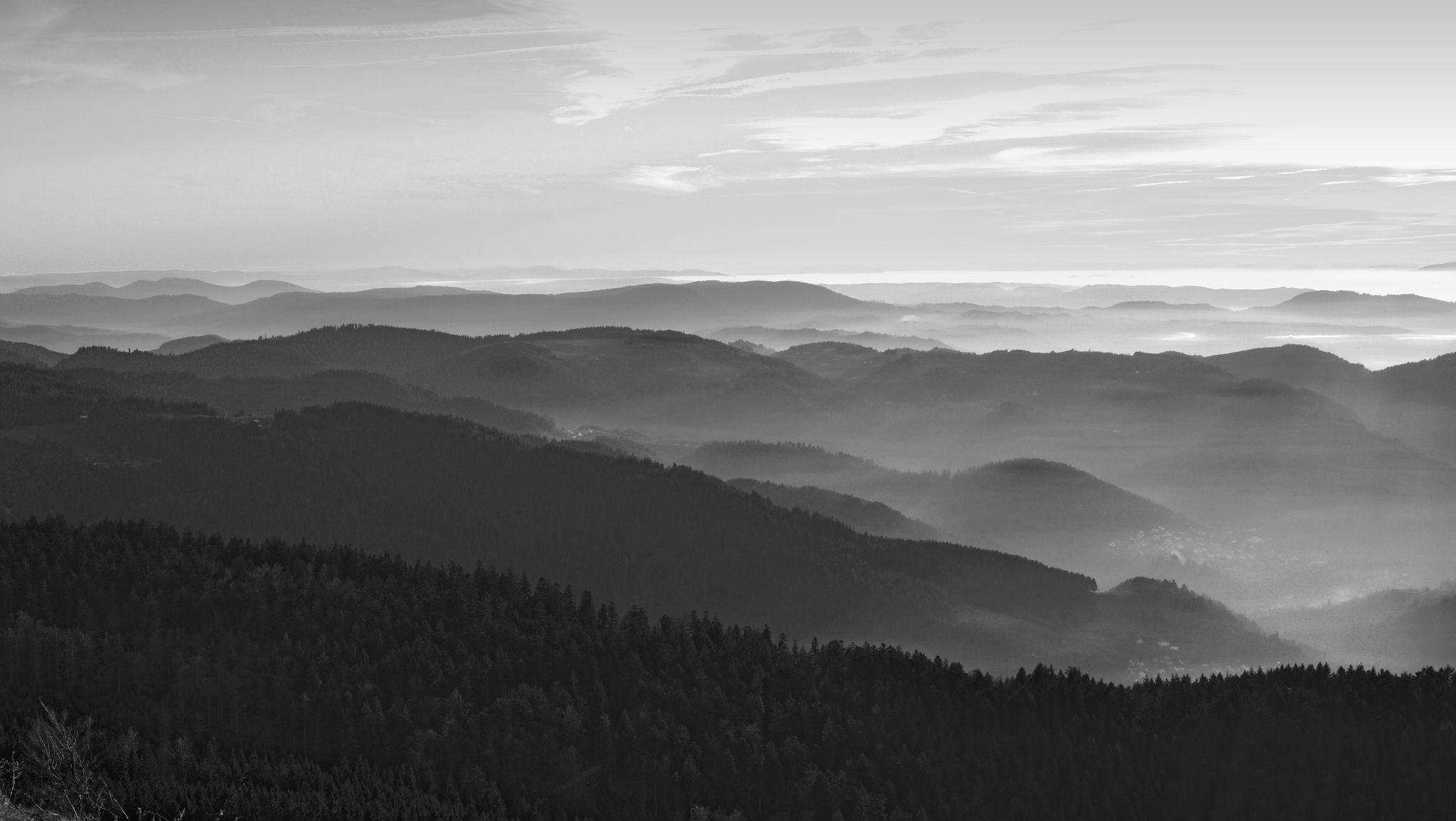
Let yourself be enchanted — hiking in the mystical Black Forest
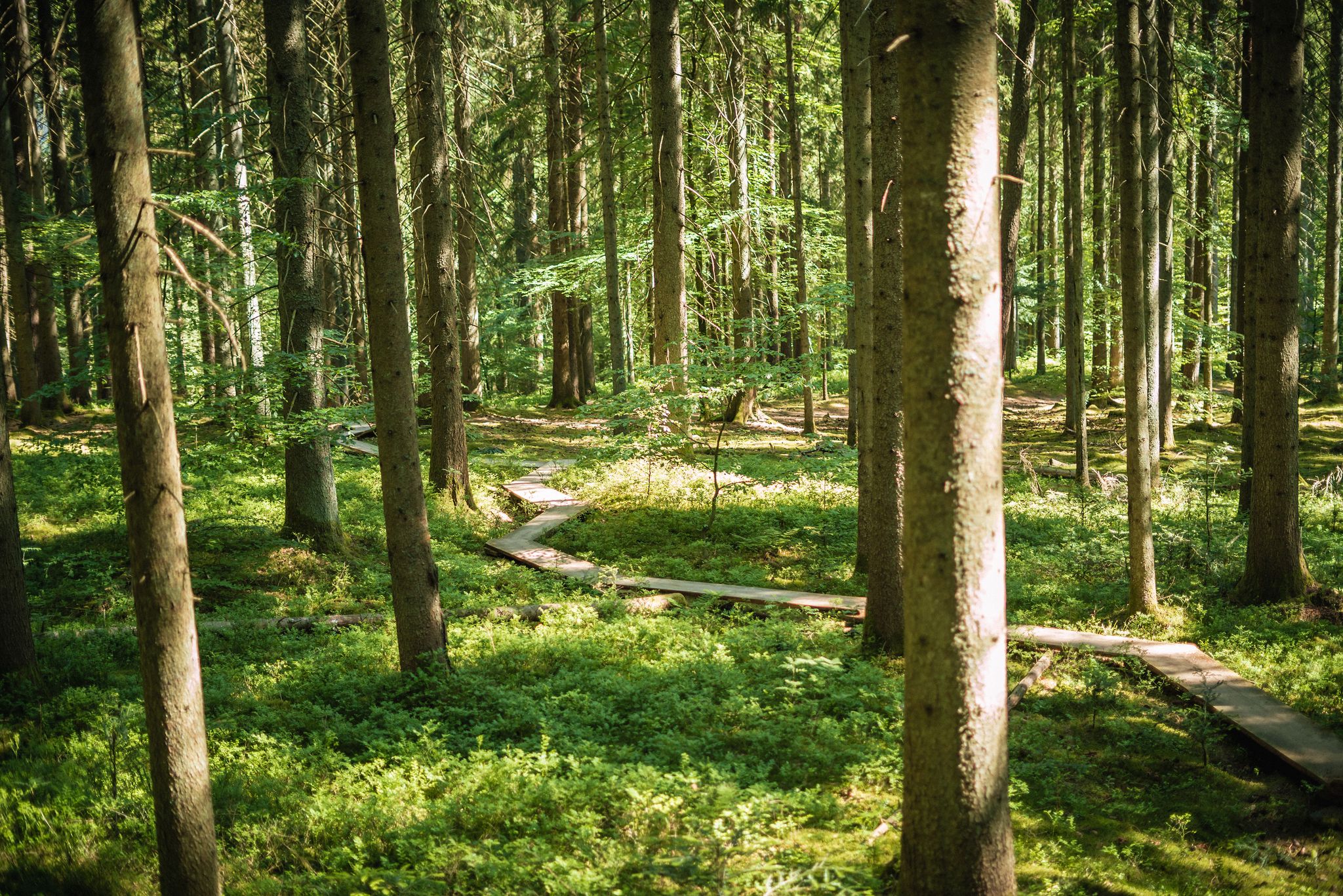
Adventure trails in the Black Forest for young and old alike
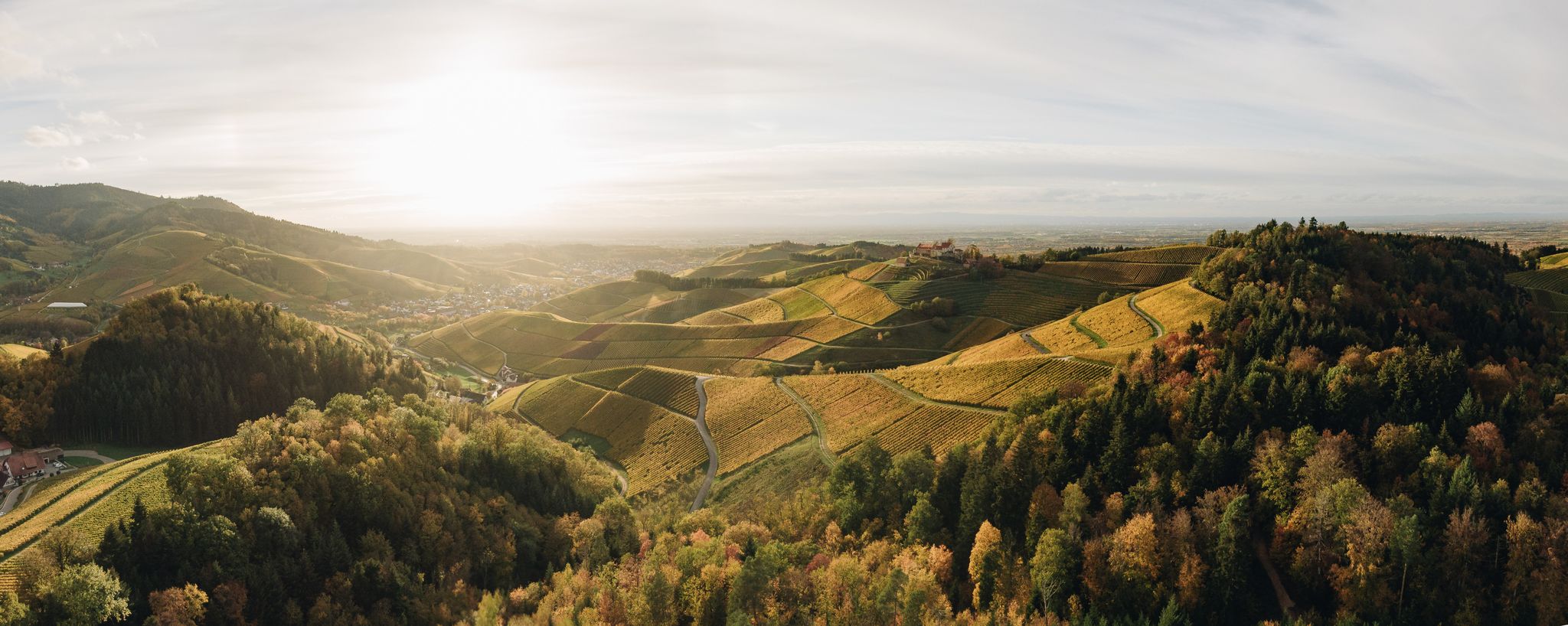
On the trail of pleasure — selected foodie trails in the Black Forest
Autumn views on Genießerpfade and quality Tours in the Black Forest
바트 페테르스탈-그리스바흐 주변의 다른 모험


커뮤니티 팁

TURM-BRÄU Freudenstadt는 독일에서 가장 큰 시장 광장에 바로 위치한 소박한 양조장입니다.
5
0

렌히는 길이가 57km입니다. 쥐플뤼히트 근처 해발 915m 높이에서 발원합니다. 헬름링엔 근처에서 렌히는 라인강으로 흘러 들어갑니다.
1
0
오펜라우(Oppenau)의 로스뷔흘(Rossbühl)(약 950m)은 슈바르츠발트호흐슈트라세(Schwarzwaldhochstraße) 근처 북부 슈바르츠발트(Nordschwarzwald)에 있는 전망대입니다. 라인 계곡까지 파노라마 전망과 휴식을 위한 하늘 침대, 그리고 패러글라이더의 유명한 이륙 장소를 제공합니다. 또한 사이클리스트를 위한 스토포마트(Stoppomat) 타임 트라이얼 코스의 종착지이며 역사적인 스키 점프대 근처에 있습니다.
0
0
휴식처는 들르기에 적합합니다 https://www.hotel-zuflucht.de/de/geniessen/rstaeurant/
0
0


프רוי덴슈타트의 훌륭한 음식과 멋진 위치를 자랑하는 아름다운 비어가르텐
4
0
The Dreifürstenstein (Three Princes' Stone) is a historic boundary stone in the Northern Black Forest, near the Alexanderschanze. It formerly marked the meeting point of the borders of three territories: the Duchy of Württemberg, the Margraviate of Baden, and the Prince-Bishopric of Strasbourg. Dating from the 18th century, the stone is an important testament to the territorial history of the Black Forest. Today, it is a cultural monument and a popular destination for hikers and history enthusiasts.
0
0
The Rench is 57 km long. It rises near Zuflucht at an altitude of 915 m. The Rench flows into the Rhine near Helmlingen.
3
0
바트 페테르스탈-그리스바흐 주변에서 가장 인기 있는 명소


더 살펴보기
다른 지역의 최고의 로드 사이클링 경로를 살펴보세요.
