퐁생트막상스 최고의 러닝 경로
3.5
(7)
237
달리기 하는 사람
30
러닝
퐁생트막상스에서 하이킹하며 오이세 구석 부분까지 살펴볼까요? 퐁생트막상스에 있는 모든 하이킹 및 워킹 경로 컬렉션 중 가장 멋진 하이킹 경로를 엄선하여 소개해드릴게요. 다른 하이커가 공유한 실제 팁과 사진을 살펴보고 후기를 읽으며 마음에 드는 퐁생트막상스 워킹 경로를 찾아보세요.
마지막 업데이트: 10월 16, 2026
14
달리기 하는 사람
5.35km
00:34
10m
10m
보통 조깅. 좋은 체력 필요. 대부분 포장된 지면. 실력과 관계없이 누구나 갈 수 있음.
13
달리기 하는 사람
13.4km
01:31
200m
200m
보통 조깅. 좋은 체력 필요. 대부분 포장된 지면. 실력과 관계없이 누구나 갈 수 있음.

45
달리기 하는 사람
24.3km
02:57
470m
470m
어려운 조깅. 우수한 체력 필요. 대부분 포장된 지면. 실력과 관계없이 누구나 갈 수 있음.
3.0
(3)
8
달리기 하는 사람
5.66km
00:39
40m
40m
보통 조깅. 좋은 체력 필요. 대부분 포장된 지면. 실력과 관계없이 누구나 갈 수 있음.
5
달리기 하는 사람
23.6km
02:31
80m
80m
어려운 조깅. 우수한 체력 필요. 대부분 포장된 지면. 실력과 관계없이 누구나 갈 수 있음.
더 다양한 경로와 다른 탐험가들의 추천을 살펴보세요.
이미 komoot 계정이 있나요?
투어 추천은 다른 사람들이 komoot에서 완료한 수천 개의 활동을 바탕으로 구성되어 있습니다.
오늘 무료 계정으로 시작하세요
다음 모험이 기다리고 있어요.

커뮤니티 팁

The orientation table that previously existed and the wooden terrace have been removed. The trees have grown, making the view non-existent. Before, on a clear day, it was possible to make out the Eiffel Tower.
1
0


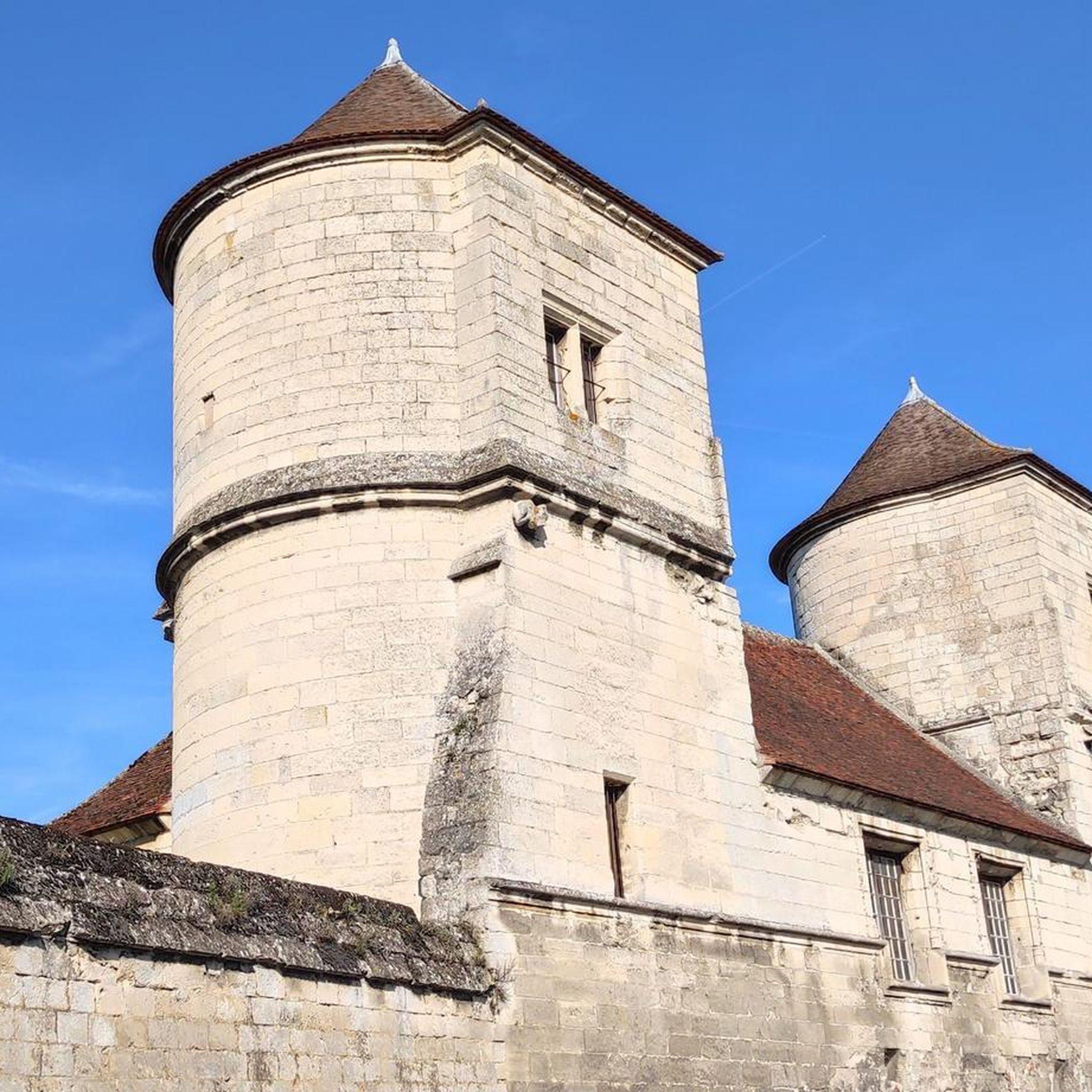
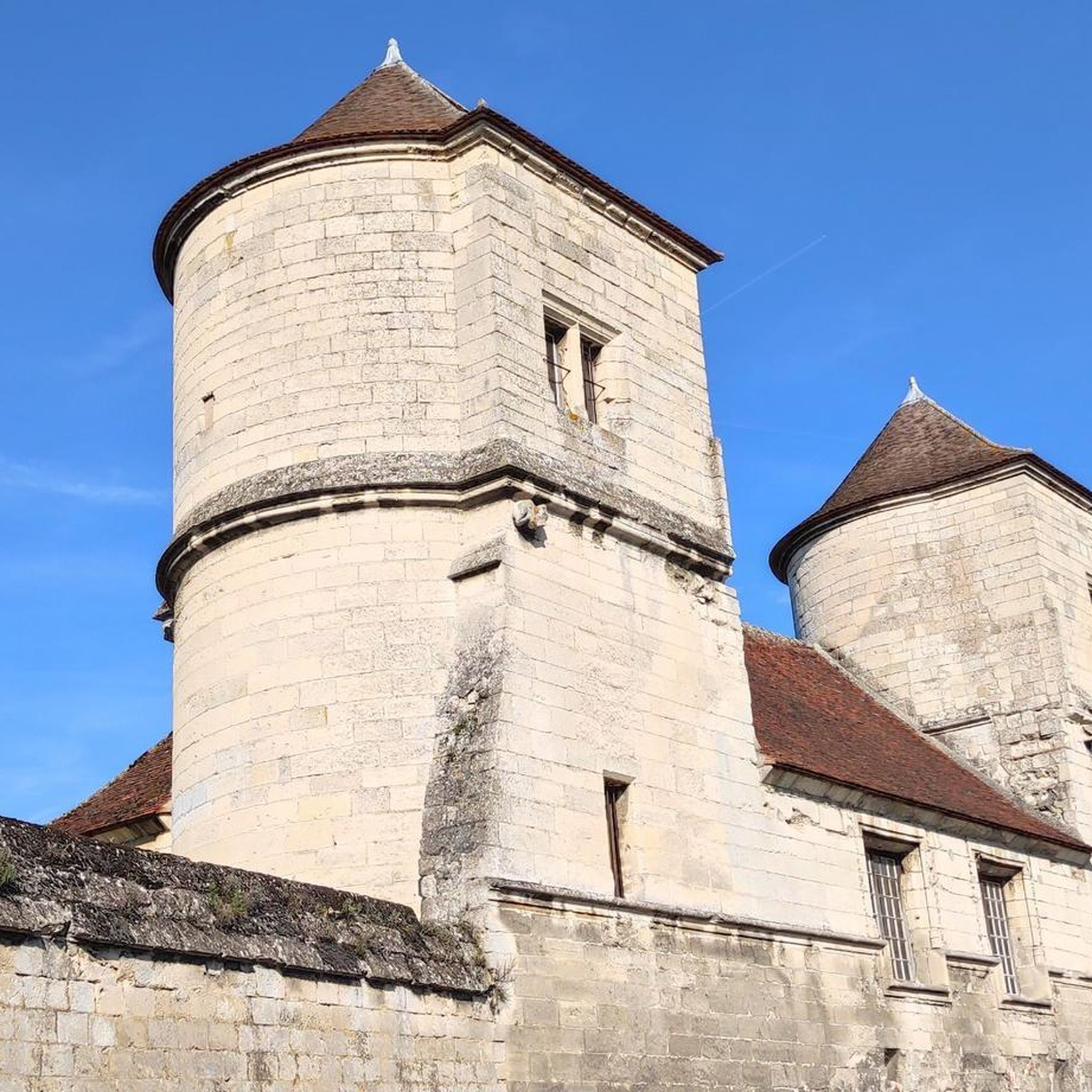
The royal abbey of Moncel was built in the 14th century by Philippe le Bel, next to an old manor which the king transformed into a royal residence at the same time. Without a doubt, a major place of French heritage!
2
0

Mont Pagnotte is the highest point in Valois and one of the highest in the Paris region, with an altitude of 222 meters. It was also an ancient Celtic and Gallo-Roman colony, of which you can still see some ruins along the way. The trail passes through the magnificent Halatte forest, where you can appreciate the diversity of trees and wildlife. From the summit of Mont Pagnotte, you can admire a panoramic view of the forest and the surrounding countryside. It's the perfect place for a run to escape the city.
4
0
Mont Pagnotte is the highest point in Valois and one of the highest in the Paris region, with an altitude of 222 meters. It was also an ancient Celtic and Gallo-Roman colony, of which you can still see some ruins along the way. The trail takes you through the magnificent Halatte Forest, where you can appreciate the diversity of trees and wildlife. From the summit of Mont Pagnotte, you can admire a panoramic view of the forest and the surrounding countryside. This is an ideal hike for a family outing or to escape the city.
2
0

Photos and images are powerful visual tools that enable us to showcase the pride and identity of different nations. When it comes to the German flag vector image, it represents the rich history and cultural heritage of Germany. By utilizing a high-quality German flag vector from https://depositphotos.com/vector-images/german-flag.html image, we can create visually captivating designs, educational materials, or patriotic promotions that celebrate the values and spirit of Germany. Let's explore reliable sources for vector images to ensure accurate representation, allowing us to pay tribute to the German flag through captivating visuals.
0
2

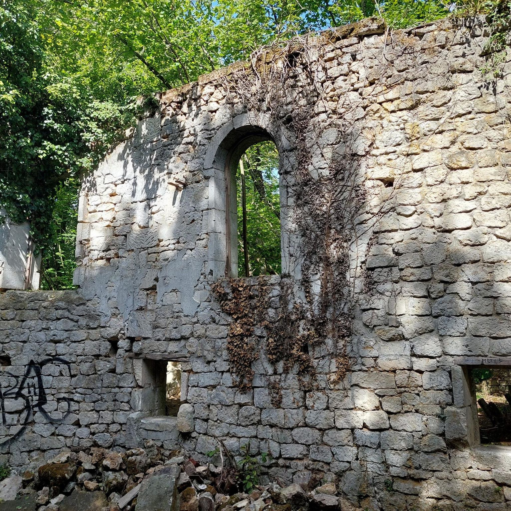
This abbey dates from the Middle Ages and is worth a visit. It is spacious and impresses with its dimensions, especially inside. It has been listed as a historical monument since 1920.
0
0

퐁생트막상스 주변에서 가장 인기 있는 명소


더 살펴보기
다른 지역의 최고의 러닝 트레일 & 경로를 살펴보세요.
