20의 생 줄리앙 드 라 네프가지 명소 & 주요 장소
생 줄리앙 드 라 네프에는 둘러볼 만한 장소가 많답니다. 하이킹 또는 사이클링을 좋아한다면 생 줄리앙 드 라 네프에 숨겨진 20
가지 보석을 만날 수 있을 거예요. 이 지역의 주요 명소를 살펴보면서 다음 모험을 계획해보세요.
마지막 업데이트: 10월 10, 2026

Saint-Roman-de-Codières 마을과 중세 탑
하이라이트 • 역사적 장소
번역자 Google •
팁에 의해

이런 장소를 발견하려면 지금 가입하세요
최고의 싱글 트랙, 봉우리 및 다양한 흥미로운 야외 장소에 대한 추천을 받아보세요.

오늘 무료 계정으로 시작하세요
다음 모험이 기다리고 있어요.


커뮤니티 팁

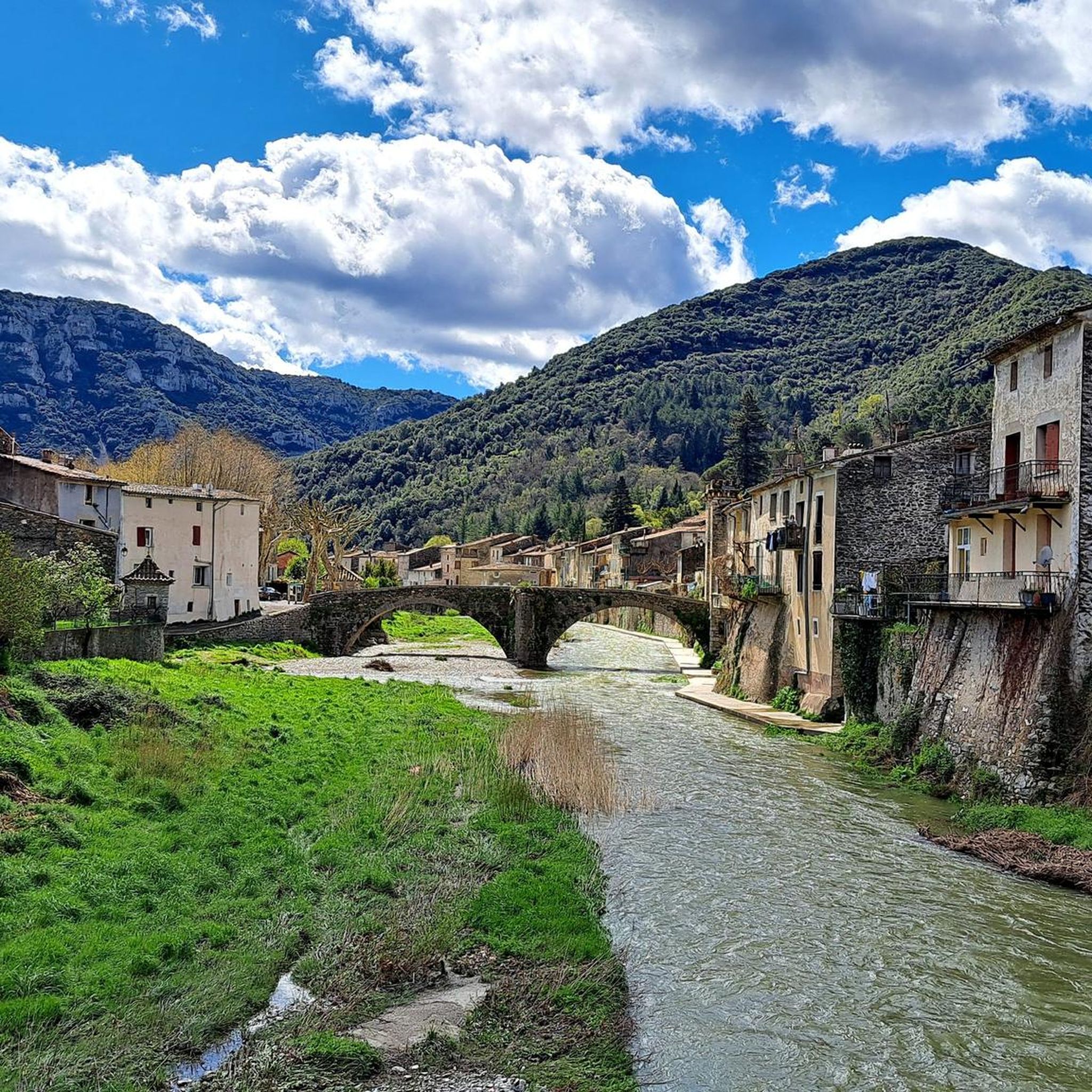
Pretty little village in the Cevennes.
0
0

A spectacular entrance! The interior is rich in concretion. The cave is blackened by the fires of yesteryear, and by different minerals. A few ropes, or you have to be equipped! I was able to climb as a caver, it's not bad, especially at the entrance on the right, which opens onto a balcony, at the top of the cavity! DO NOT VENTURE THERE WITHOUT EQUIPMENT, it's VERY DANGEROUS! A few beautiful gours in passing. Too bad this cavity is so busy, some have no respect for anything, which degrades the authentic appearance of this beautiful cavity.
1
0


Montdardier, whose name means "desired mountain," contains deposits of precious minerals. Even more precious is the water this village harbors, a true treasure on these arid limestone plateaus. This town is also located on an ancient Roman road between Le Vigan and Lodève. It was once an important crossroads for trade between the Cévennes and the Causses. Montdardier Castle is an eye-catcher in this relatively flat landscape, rising above the town. This fortress, built in the 12th century, has been sacked many times and partially destroyed. It was the French architect Eugène Viollet-le-Duc who restored it in 1860.
0
0
Although located in the Cévennes, the small town of Le Vigan forms a sort of junction between the Massif Central and the Mediterranean world. It's a geographical frontier at the crossroads of different climates and cultures. It is quite isolated compared to the nearest major cities, such as Alès or Nîmes. It is fed by three rivers, the main one being the Arre. A spring supplies the town with water, which, in these relatively dry regions, is an undeniable asset. The town center is very pleasant.
4
0
The historical heritage of this village is very old. Testimony of the Neolithic, of the seven menhirs identified in the town, five are still erected. This town is located on the Saint-Roman pass, which gives it strategic importance. The name of the village comes from a military camp built by the Romans in the 1st century AD. The camp was then called Romanus de Codeyra. Aware of the strategic location of the Col de Saint-Roman, a castle was built in the Middle Ages instead of the Roman oppidum and the tower built by the Saracens.
2
0

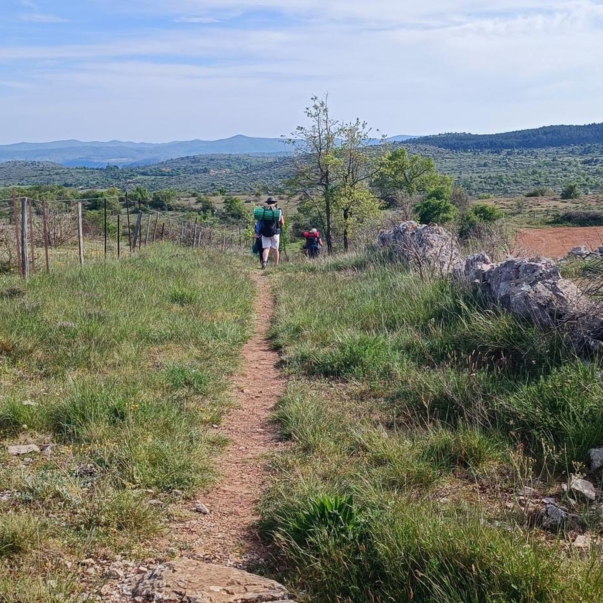
Take the time to cross the village of St Laurent and climb to St Bresson, then switch to Le Vigan
1
0
생 줄리앙 드 라 네프 주변에서 가장 인기 있는 명소


더 살펴보기
찾고 있는 하이라이트를 아직 못 찾으셨나요? 다른 지역의 주요 명소 가이드를 확인해보세요:
