보빌 최고의 러닝 경로
4.5
(44)
3,317
달리기 하는 사람
20
러닝
보빌에서 하이킹하며 셰르부르 구석 부분까지 살펴볼까요? 보빌에 있는 모든 하이킹 및 워킹 경로 컬렉션 중 가장 멋진 하이킹 경로를 엄선하여 소개해드릴게요. 다른 하이커가 공유한 실제 팁과 사진을 살펴보고 후기를 읽으며 마음에 드는 보빌 워킹 경로를 찾아보세요.
마지막 업데이트: 7월 22, 2026
64
달리기 하는 사람
24.1km
03:04
710m
710m
어려운 조깅. 우수한 체력 필요. 대부분 포장된 지면. 실력과 관계없이 누구나 갈 수 있음.
4.0
(2)
17
달리기 하는 사람
10.3km
01:14
160m
160m
보통 조깅. 좋은 체력 필요. 대부분 포장된 지면. 실력과 관계없이 누구나 갈 수 있음.

무료 회원 가입
17
달리기 하는 사람
9.63km
01:12
280m
280m
보통 조깅. 좋은 체력 필요. 대부분 포장된 지면. 실력과 관계없이 누구나 갈 수 있음.
16
달리기 하는 사람
35.3km
04:24
1,010m
1,010m
어려운 조깅. 우수한 체력 필요. 대부분 포장된 지면. 실력과 관계없이 누구나 갈 수 있음.
9
달리기 하는 사람
16.3km
01:54
60m
60m
어려운 조깅. 우수한 체력 필요. 대부분 포장된 지면. 실력과 관계없이 누구나 갈 수 있음.
더 다양한 경로와 다른 탐험가들의 추천을 살펴보세요.
무료 회원 가입
이미 komoot 계정이 있나요?
투어 추천은 다른 사람들이 komoot에서 완료한 수천 개의 활동을 바탕으로 구성되어 있습니다.
오늘 무료 계정으로 시작하세요
다음 모험이 기다리고 있어요.
로그인 또는 가입하기



커뮤니티 팁


Five hectare botanical garden and animal farm. The audio guide tells a lot about the history and the plants and trees in the garden.
1
0


This ancient tomb is partly collapsed. A covered walkway was always covered with stones or earth. What you can see now is what remains of the structure of this Neolithic monument. This dolmen is dated 4,500 years before present time. You have a beautiful 360 degree view when you are on site.
1
0

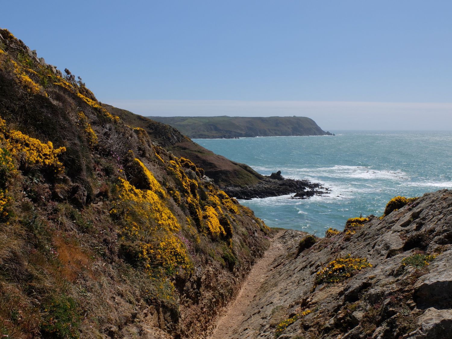
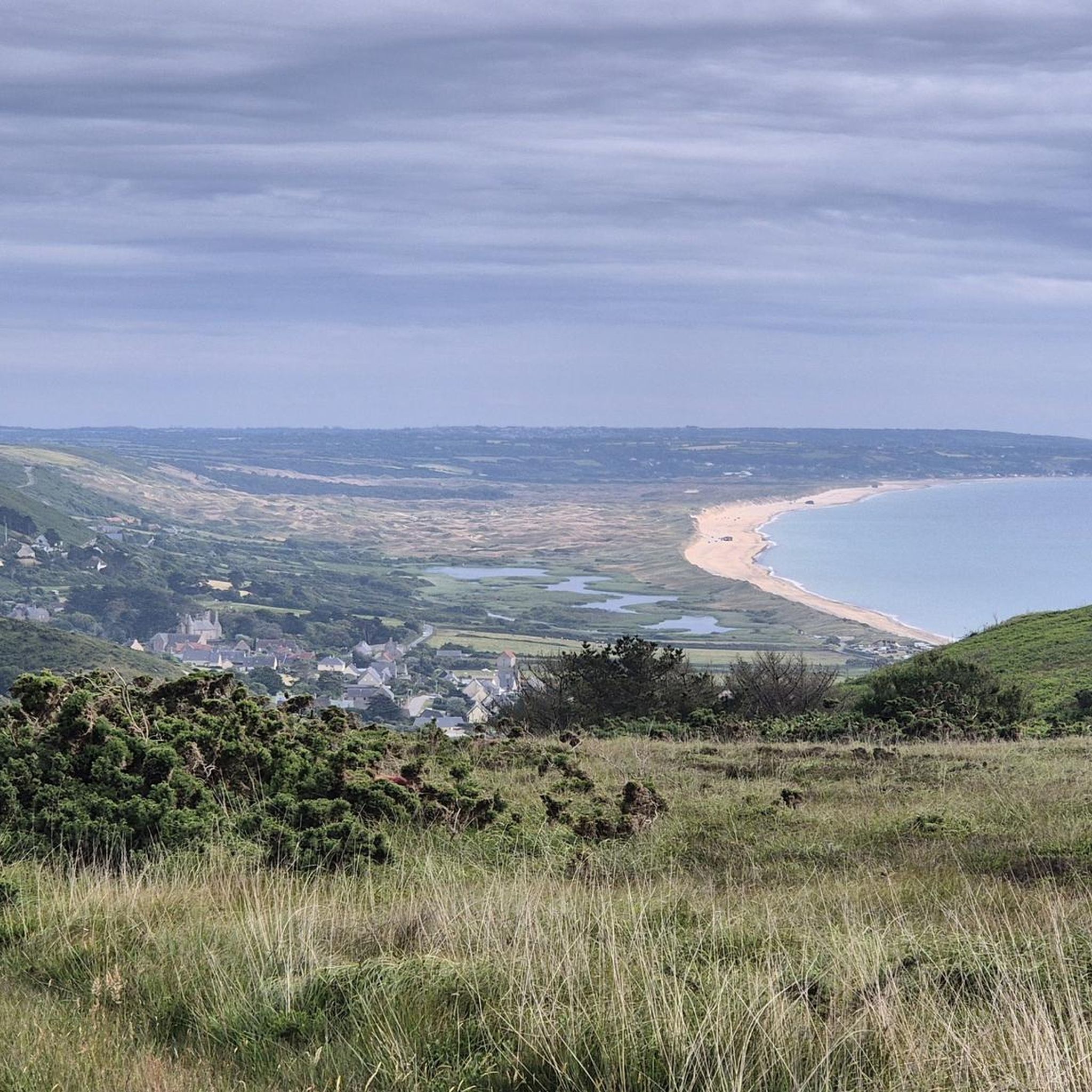
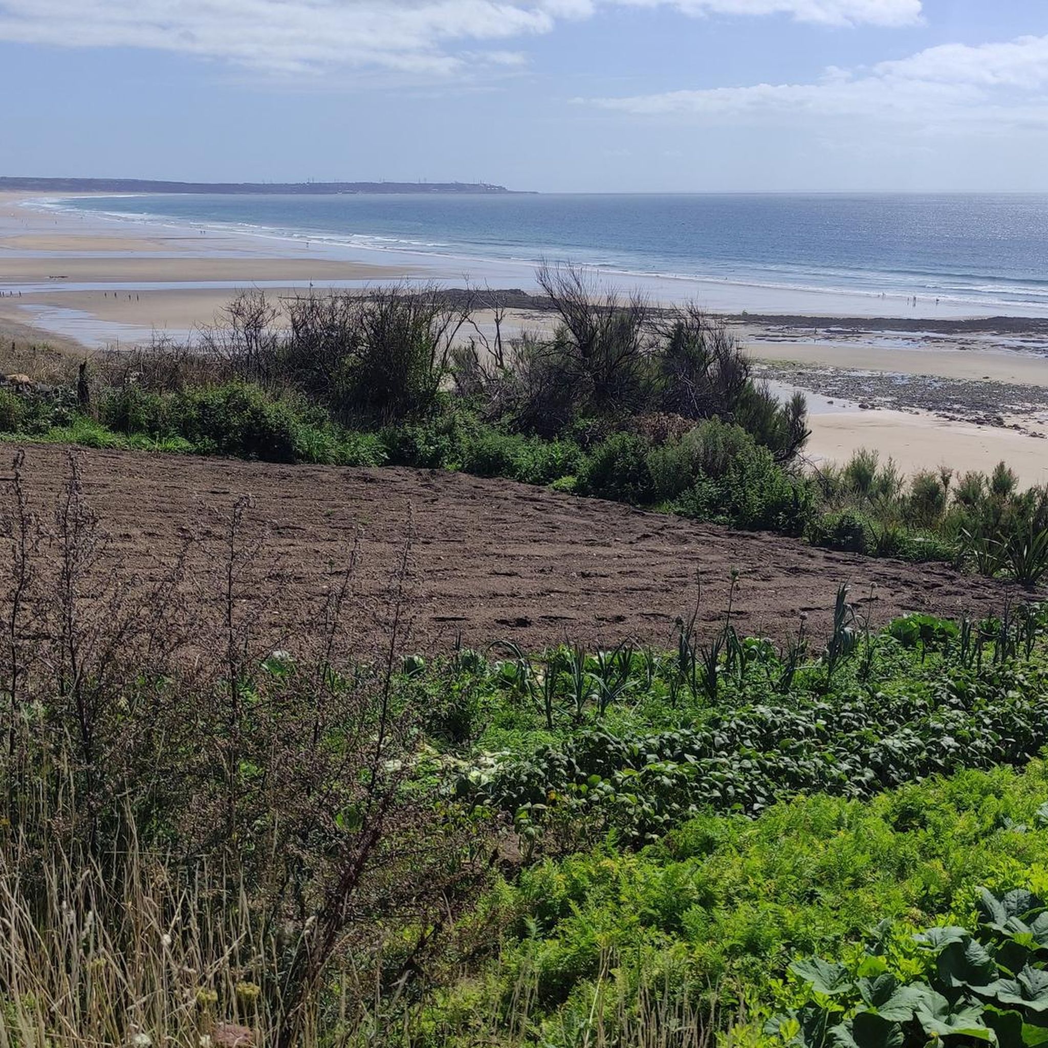
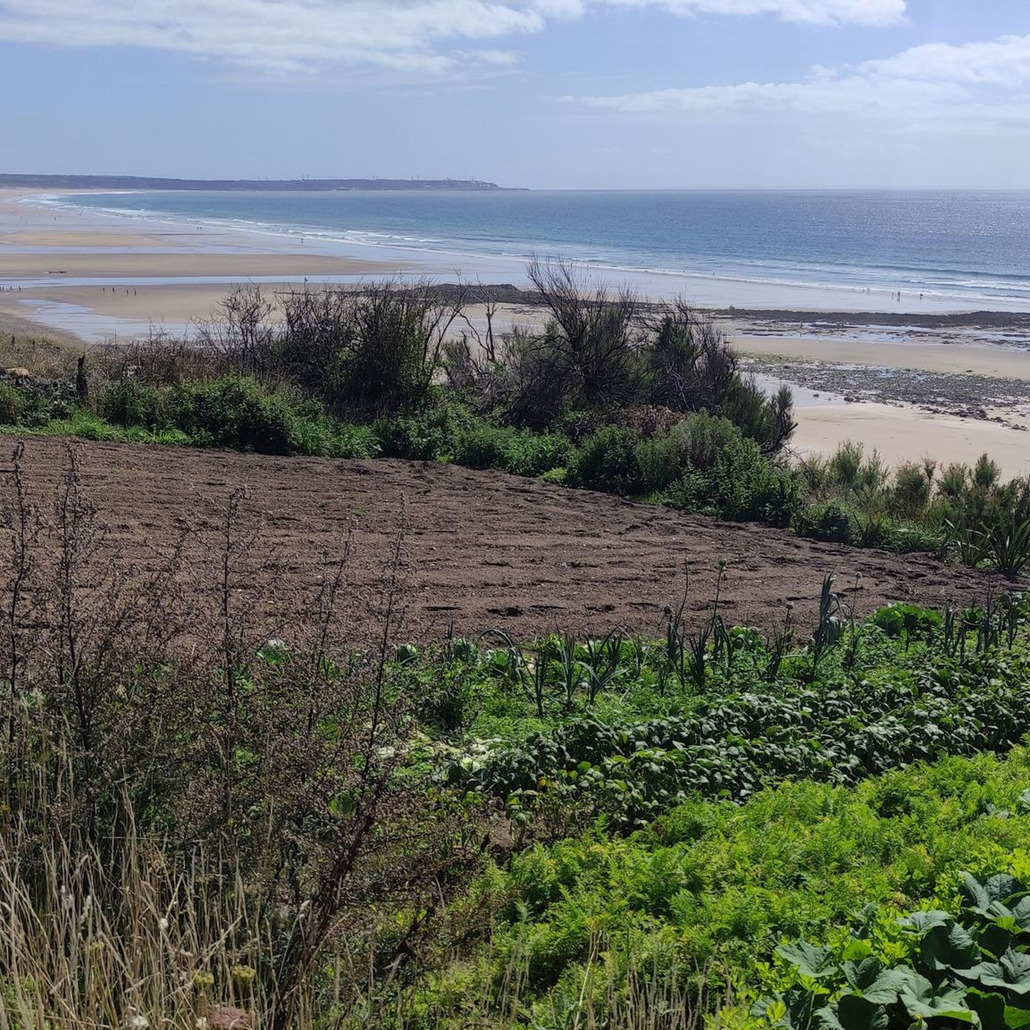
You absolutely must stop to see the panorama of Treize-Vents. This viewpoint offers a breathtaking view of the coast, the cliffs and the bay of Vauville. The panorama is named after the 13 winds that blow in this region, so be prepared for gusts. You can also admire the old windmill which has been restored and which dominates the village from the top of the hill. It is an ideal place to appreciate the beauty and diversity of the Normandy landscapes.
2
0

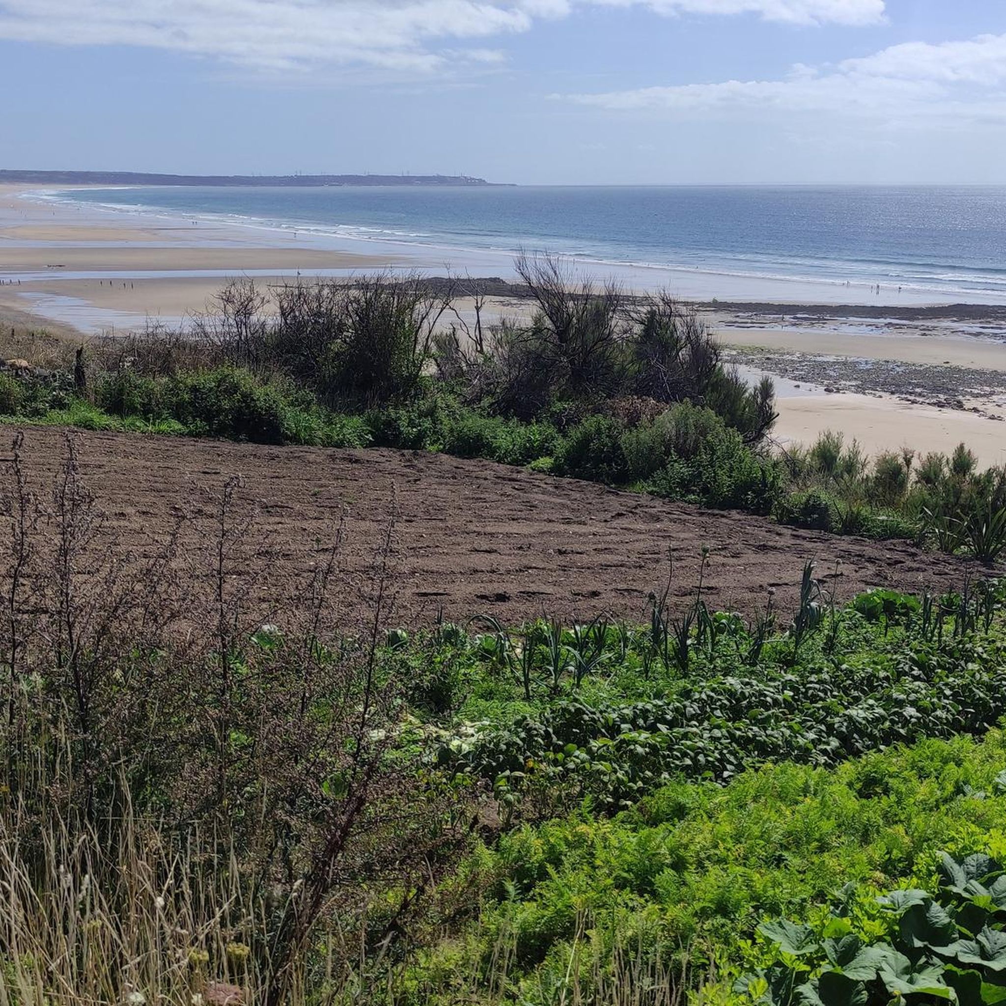
Dune landscape and Mare de Vauville nature reserve.
3
0

The Pierres Pouquelées are a Neolithic covered walkway dating around 4500 BC. There is a beautiful view of Vauville and the Manche The covered walkway faces north-west/south-east. Very ruined, it is currently 14.50 m long for an interior width of about 1.25 m and an exterior width of 2.40 m for a height under the table of 1.20 m. The entrance appears to be sideways to the southwest. The slabs are in quartz sandstone, except for two cover tables which are in granite and probably come from a site 3 km away, located at sea level. The covered walkway was excavated in 1755, before the covering tables were removed, by the Royal Academic Society of Cherbourg. At the beginning of the 19th century (around 1830), the cover tables were recovered by the inhabitants in order to build a bridge. Alerted, the sub-prefect of Valognes ordered it to be put back in place, but the blocks were simply deposited on the site: they are certainly those lying on the ground a few meters from the alley1. A good part of the orthostats disappeared in 1833.
1
0

보빌 주변에서 가장 인기 있는 명소


더 살펴보기
다른 지역의 최고의 러닝 트레일 & 경로를 살펴보세요.
