20의 오빌가지 명소 & 주요 장소
오빌에는 둘러볼 만한 장소가 많답니다. 하이킹 또는 사이클링을 좋아한다면 오빌에 숨겨진 20
가지 보석을 만날 수 있을 거예요. 이 지역의 주요 명소를 살펴보면서 다음 모험을 계획해보세요.
마지막 업데이트: 8월 30, 2026
Sentier des Douaniers 해안길
하이라이트 (구간) • 트레일
번역자 Google •
팁에 의해

보빌 연못 자연보호구역
하이라이트 • 자연 기념물
번역자 Google •
팁에 의해

이런 장소를 발견하려면 지금 가입하세요
최고의 싱글 트랙, 봉우리 및 다양한 흥미로운 야외 장소에 대한 추천을 받아보세요.
무료 회원 가입
피에르 푸껠레의 알레 쿠베르트
하이라이트 • 역사적 장소
번역자 Google •
팁에 의해


비빌과 바스티빌의 듀엔과 바스티빌
하이라이트 • 기타
번역자 Google •
팁에 의해
무료로 가입하여 오빌 주변의 더 많은 명소를 발견하세요.
무료 회원 가입
이미 komoot 계정이 있나요?
오늘 무료 계정으로 시작하세요
다음 모험이 기다리고 있어요.
로그인 또는 가입하기

커뮤니티 팁

The website for the film documentary "Border Paths – The Customs Officers' Trail" states: "The historic Customs Officers' Trail, now one of France's most popular hiking trails, begins at the famous pilgrimage site of Mont St. Michel. Along its 1,700 kilometers, between Mont St. Michel in the north and St. Nazaire in the south of the Breton peninsula, visitors can discover impressive landscapes with a diverse range of flora and fauna. Passing rugged cliffs, vast dune landscapes, and seemingly endless beaches, hikers become border crossers on a floating border that shifts with the rhythm of the tides." The film about the "Sentier des Douaniers" (duration: 43 minutes / language: German) in the ARD media library can be found via the following link =>> https://www.ardmediathek.de/video/grenzwege-der-zoellnerpfad/grenzwege-der-zoellnerpfad/mdr/Y3JpZDovL21kci5kZS9zZW5kdW5nLzI4MjA0MC81MjE2OTktNTAxNzM2
0
0

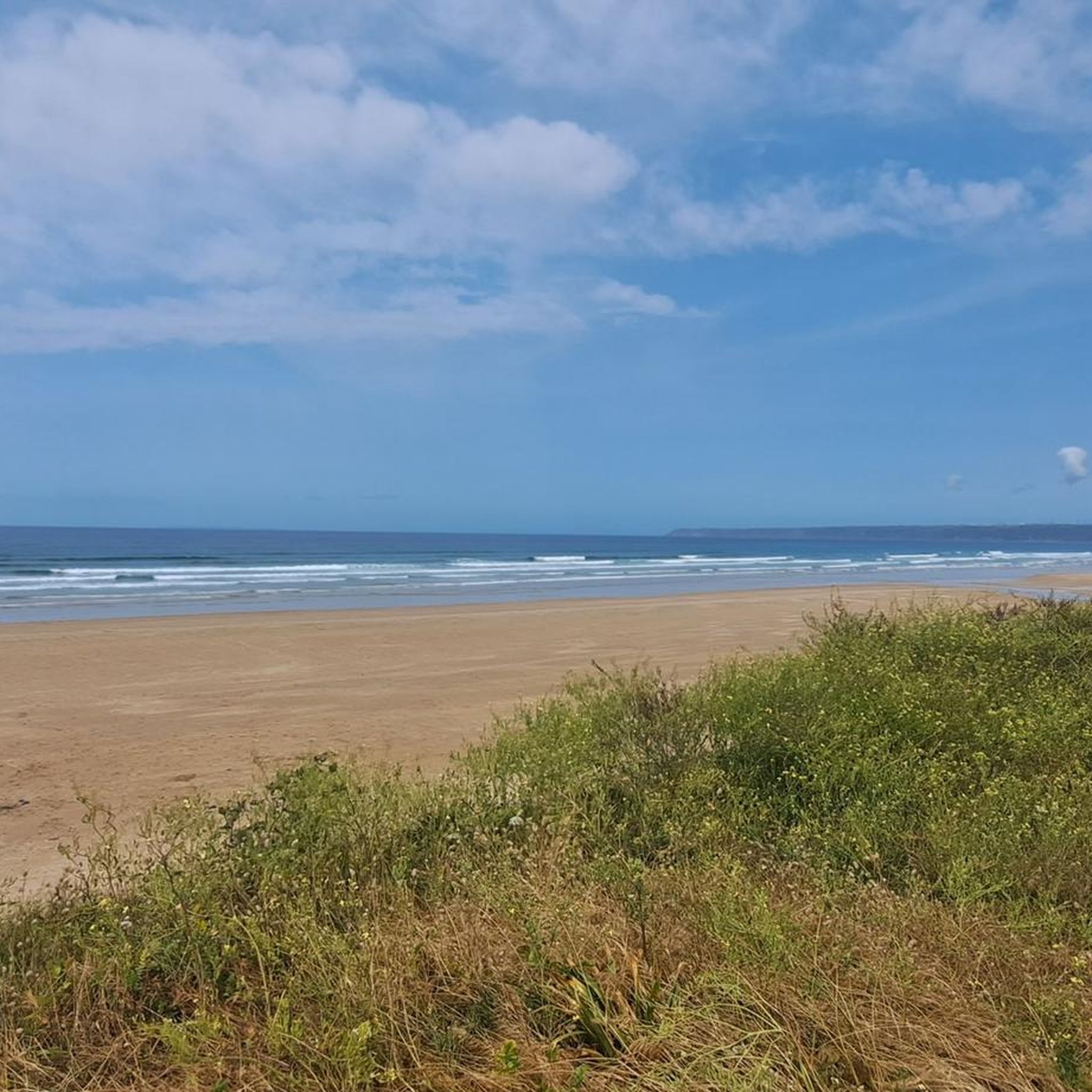
We specifically waited until the tide went out.
0
0

This ancient tomb is partly collapsed. A covered walkway was always covered with stones or earth. What you can see now is what remains of the structure of this Neolithic monument. This dolmen is dated 4,500 years before present time. You have a beautiful 360 degree view when you are on site.
1
0

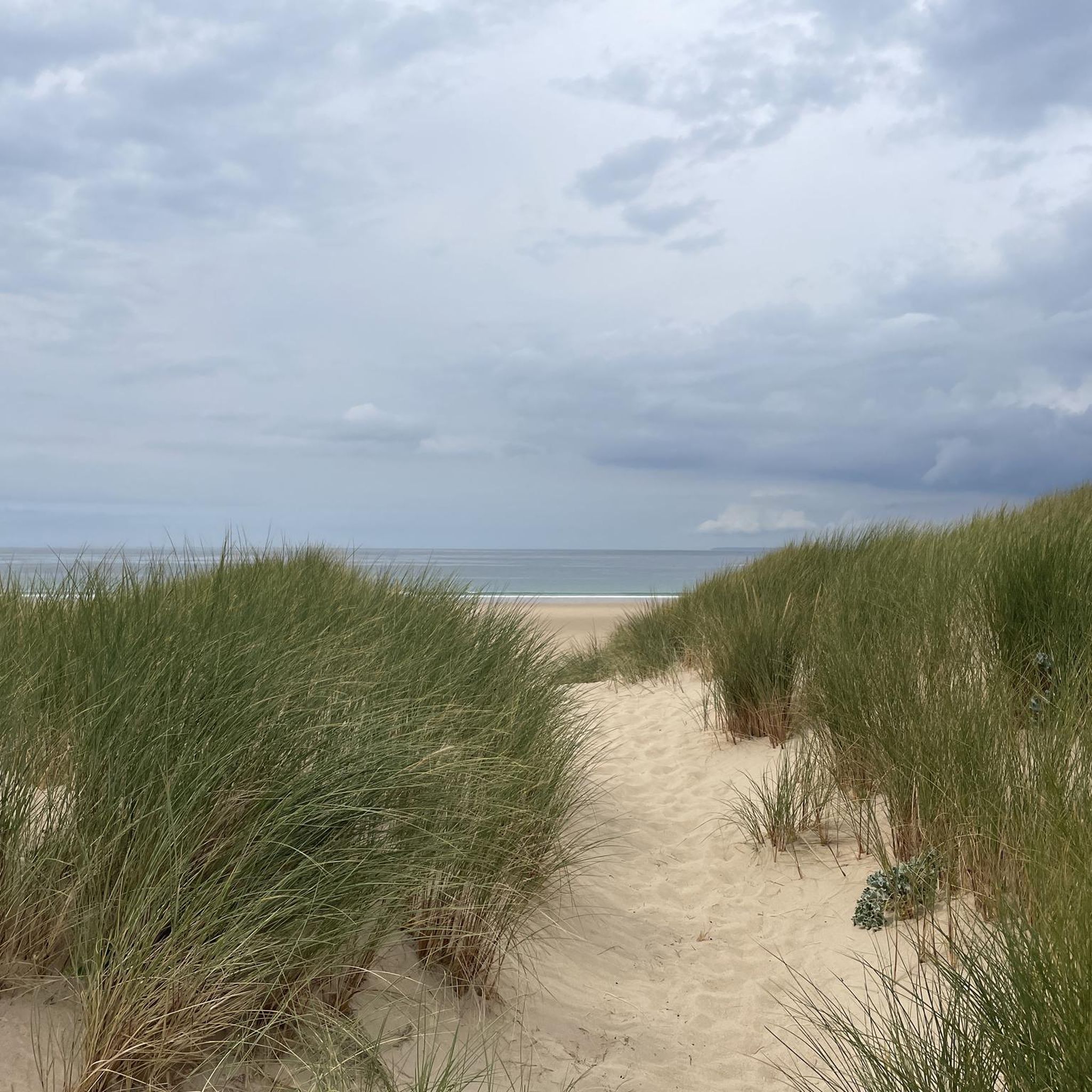
Very nice old customs officer path
1
0

The Pierres Pouquelées are a Neolithic covered walkway dating around 4500 BC. There is a beautiful view of Vauville and the Manche The covered walkway faces north-west/south-east. Very ruined, it is currently 14.50 m long for an interior width of about 1.25 m and an exterior width of 2.40 m for a height under the table of 1.20 m. The entrance appears to be sideways to the southwest. The slabs are in quartz sandstone, except for two cover tables which are in granite and probably come from a site 3 km away, located at sea level. The covered walkway was excavated in 1755, before the covering tables were removed, by the Royal Academic Society of Cherbourg. At the beginning of the 19th century (around 1830), the cover tables were recovered by the inhabitants in order to build a bridge. Alerted, the sub-prefect of Valognes ordered it to be put back in place, but the blocks were simply deposited on the site: they are certainly those lying on the ground a few meters from the alley1. A good part of the orthostats disappeared in 1833.
1
0

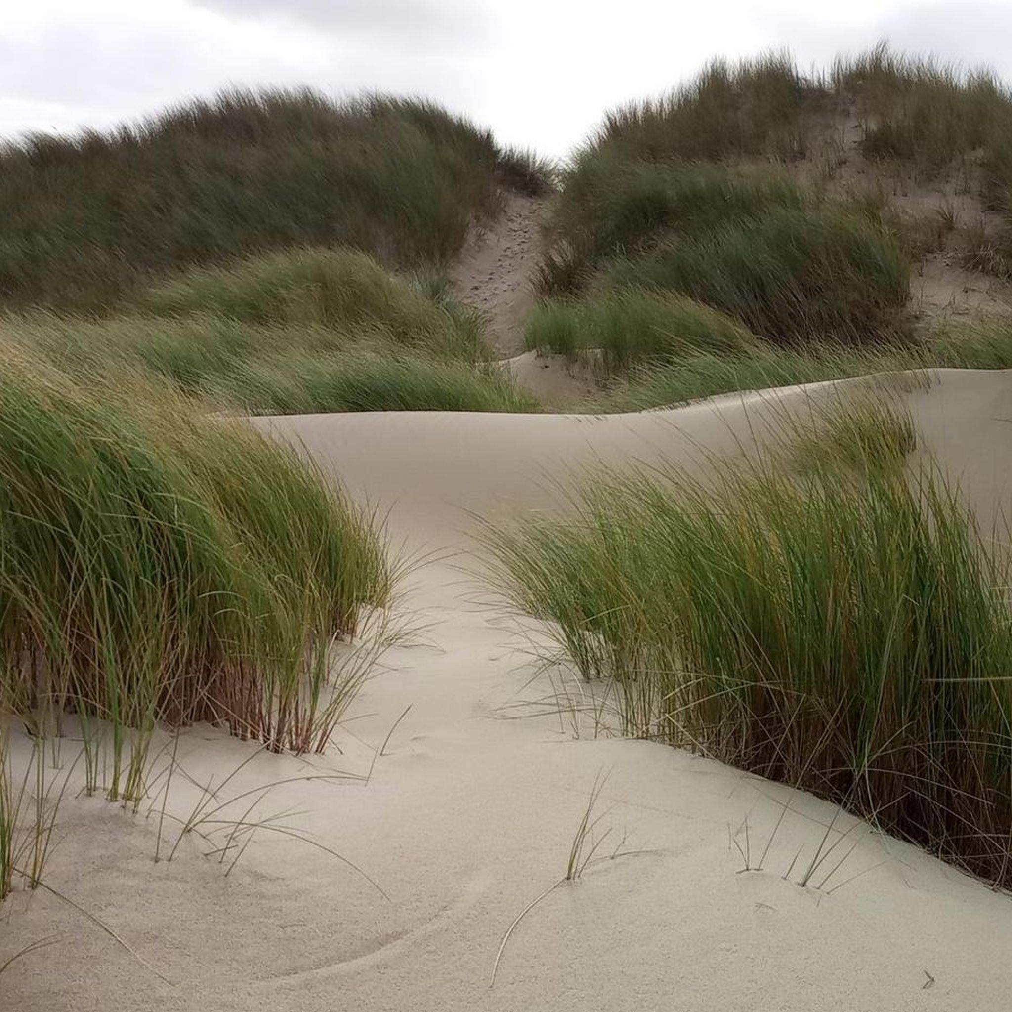
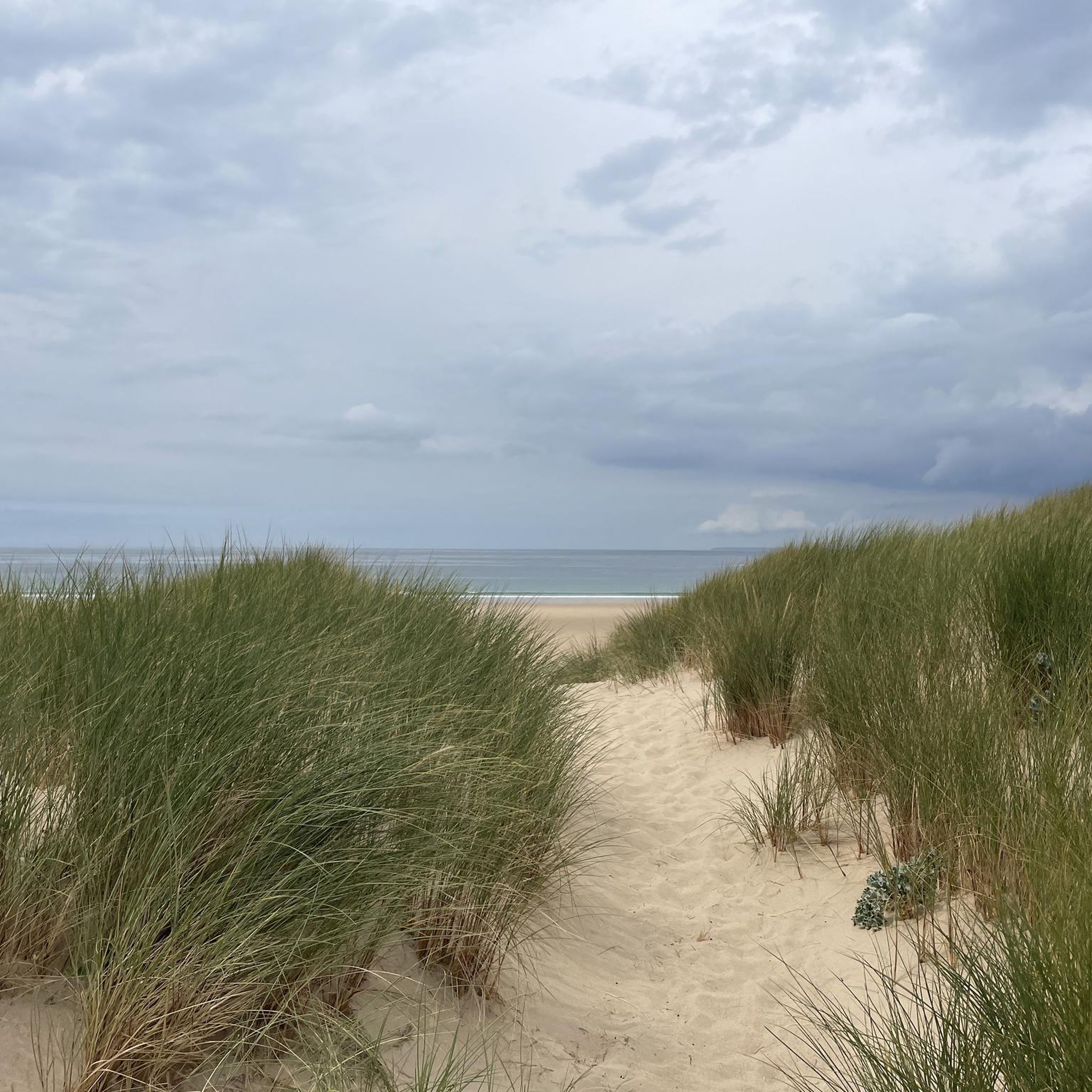
Very high and in the long run also strenuous dunes to climb... but worth every step
4
1
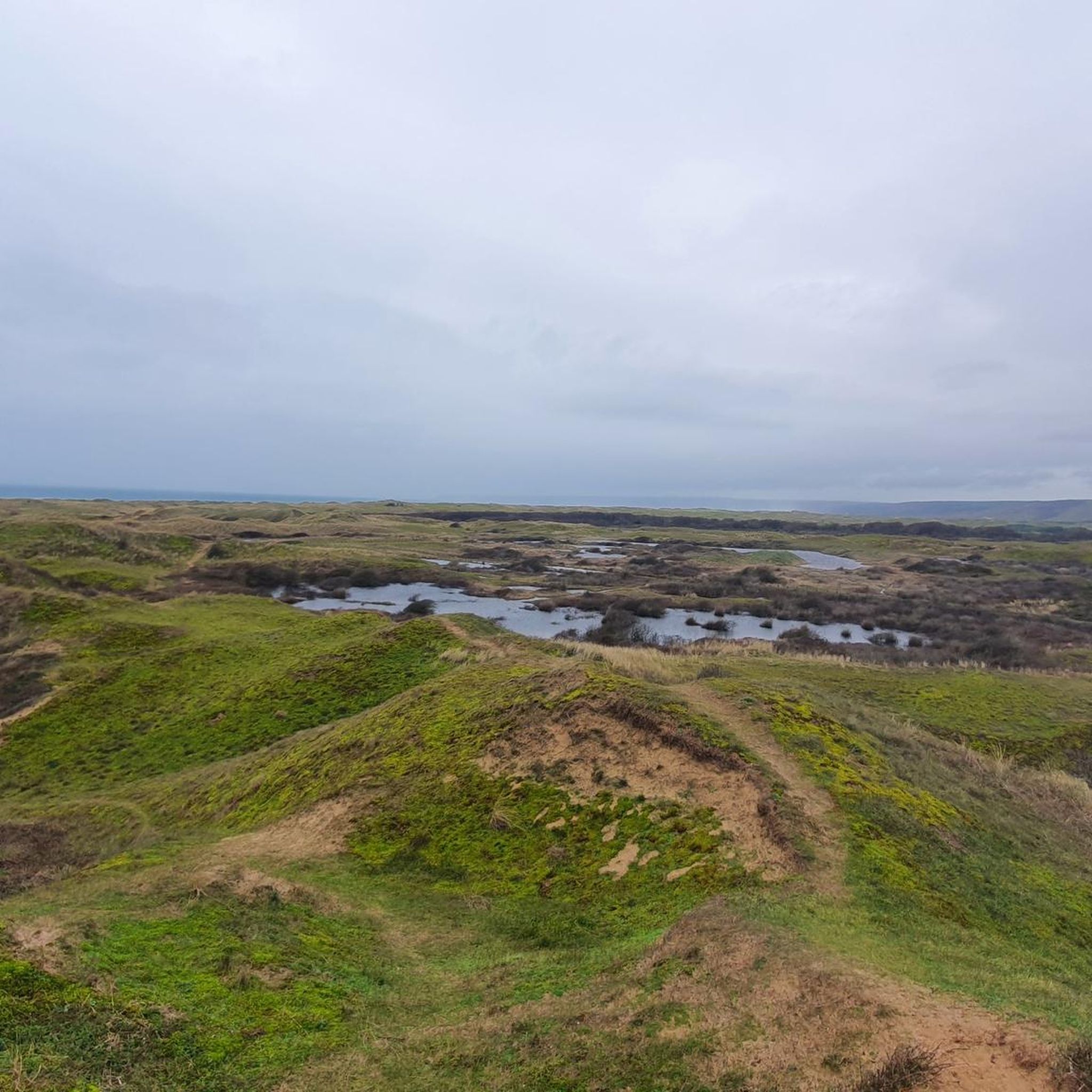
Bird observatory in a hut in the reed belt
4
0
오빌 주변에서 가장 인기 있는 명소


더 살펴보기
찾고 있는 하이라이트를 아직 못 찾으셨나요? 다른 지역의 주요 명소 가이드를 확인해보세요:
