라 프라네에서 가장 멋진 16개의 호수
라 프라네에서 가장 멋진 호수를 방문하고 싶나요? 호숫가의 고요한 분위기를 느끼거나 날씨가 따뜻한 날 호수에 발을 살짝 담글 수 있다면 얼마나 좋을까요? Komoot 커뮤니티가 추천한 라 프라네의 주요 호수를 아래에서 살펴보고, 다음 모험 때 직접 찾아가보세요!
마지막 업데이트: 10월 10, 2026

그랑보 수도원 유적지와 아바이의 노트르담 드 라 나티비테 교회
하이라이트 • 종교적 장소
번역자 Google •
팁에 의해

이런 장소를 발견하려면 지금 가입하세요
최고의 싱글 트랙, 봉우리 및 다양한 흥미로운 야외 장소에 대한 추천을 받아보세요.


오늘 무료 계정으로 시작하세요
다음 모험이 기다리고 있어요.

커뮤니티 팁

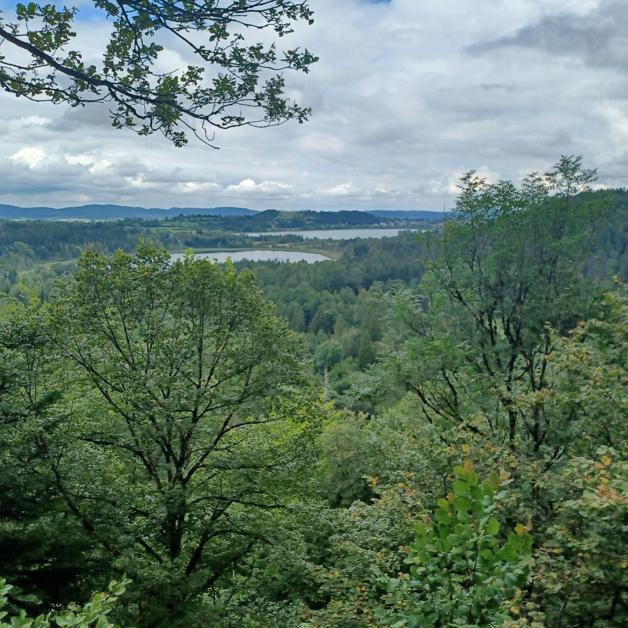
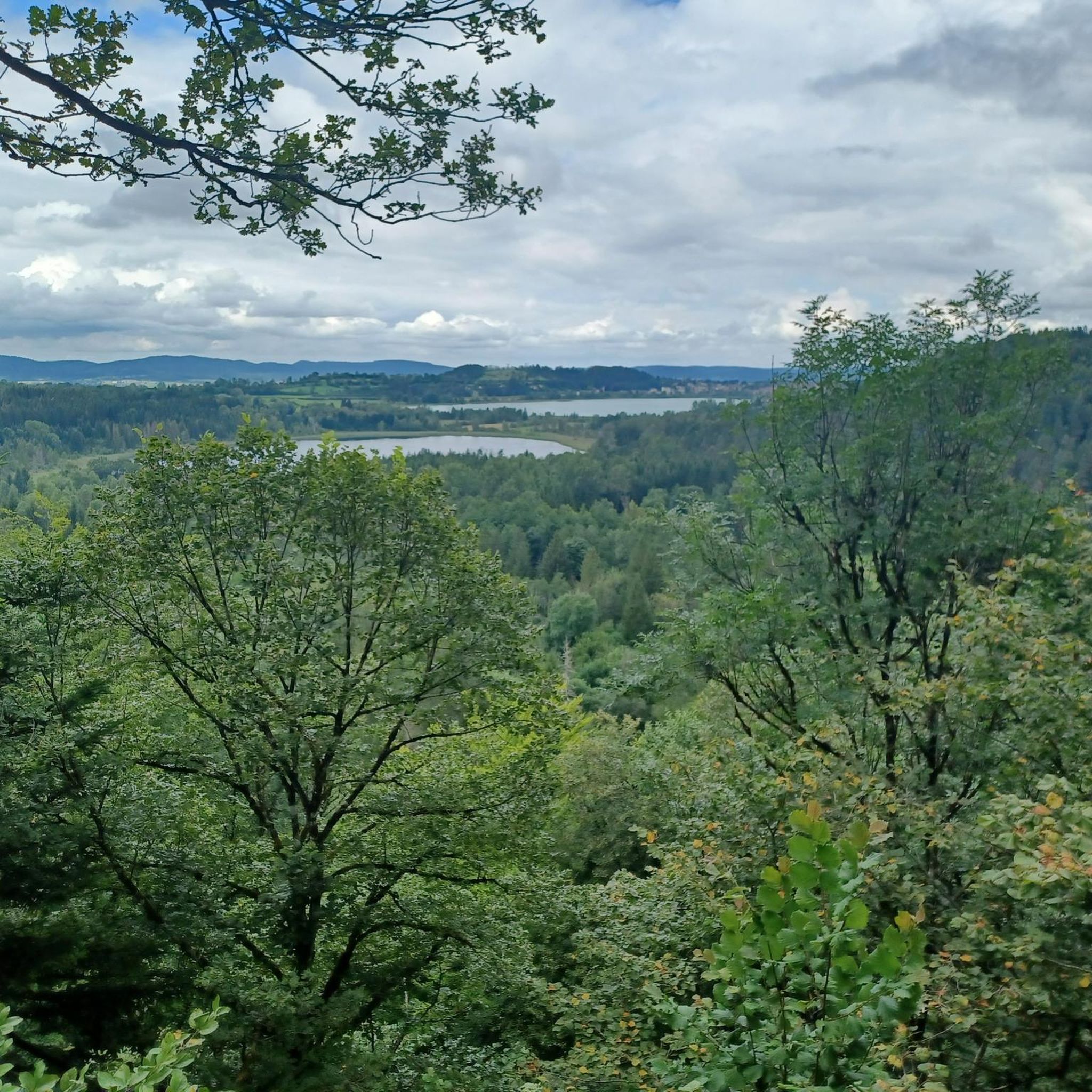
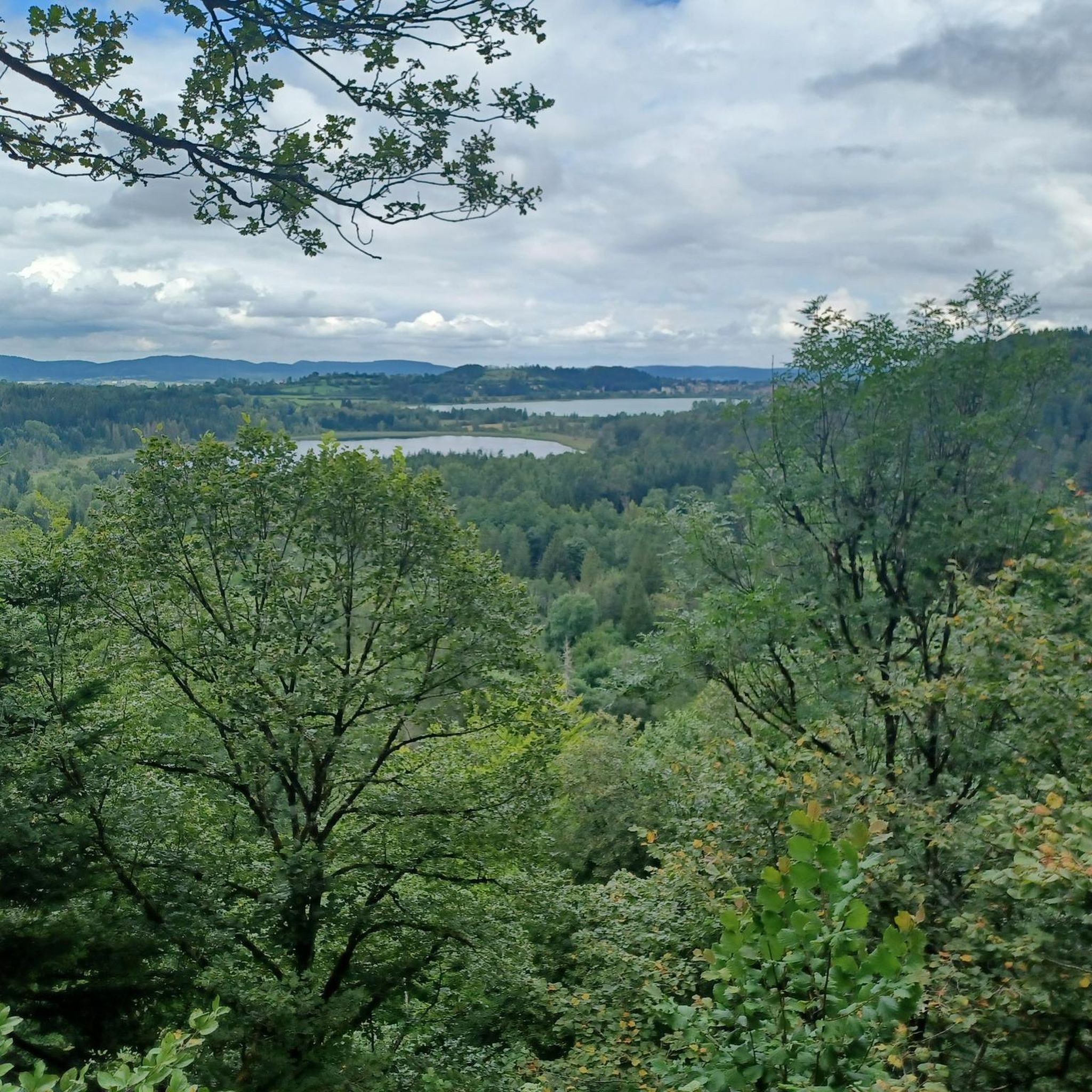
Lac d’Ilay는 Lac de la Motte라고도 불리며, 프랑스 쥐라 데파르트망에 있는 쥐라 산맥의 호수로, 샹폴리뉴에서 남쪽으로 약 14km 떨어진 프랑슈-콩테에 있습니다. 해발 774m에 위치하며 Le Frasnois와 La Chaux-du-Dombief 코뮌의 영토에 걸쳐 있으며 면적은 약 0.7km²입니다. 호수는 길이가 1.9km, 최대 너비가 400m이며 작은 섬(Île de la Motte)을 가지고 있습니다. 최대 수심은 32m입니다.
5
0

On most maps it is called "Lac d’Ilay". The other name probably comes from the small island "Île de la Motte" which is located in the lake.
1
0

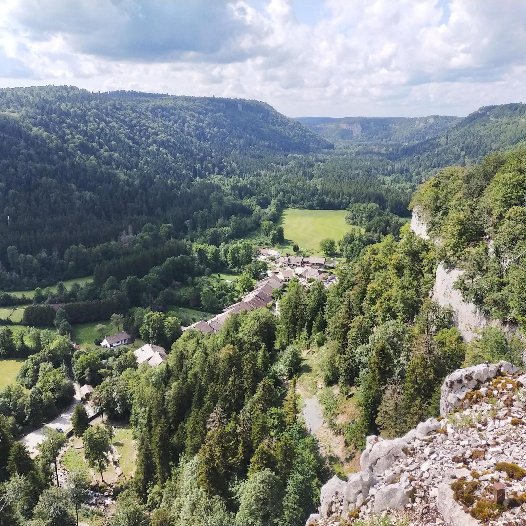
The monks of Saint-Claude are credited with establishing a monastery in the 6th century to the southwest of the Abbey Lake on the island known as sur la Motte. Then, probably having fallen into disuse for several centuries, a second monastery succeeded it in the 12th century (1172) built to the northeast of the lake on the current site of the hamlet of l'Abbaye by the canons of the Abbey of Abondance (Augustinians of Haute-Savoie). The status of abbey, served by a particular abbot, remained for a century, until the monastery was the subject of an exchange of goods between the abbot of Abondance and that of Saint-Claude. Once again dependent on the Abbey of Saint-Claude, the Abbey of Grandvaux regained the status of priory. From the fortified buildings of the 12th century, which were accessed by a drawbridge, there remains today an old farm building (called La Joséphine after the former owner of the place), a presbytery and a church, dedicated to Notre-Dame de la Nativité, like that of Abondance. The site has been listed since September 15, 1966. A site to discover through a stroll in 4 scenes, evoking the history of the site.
0
0

Very nice on the way back along the south of the lake
1
0
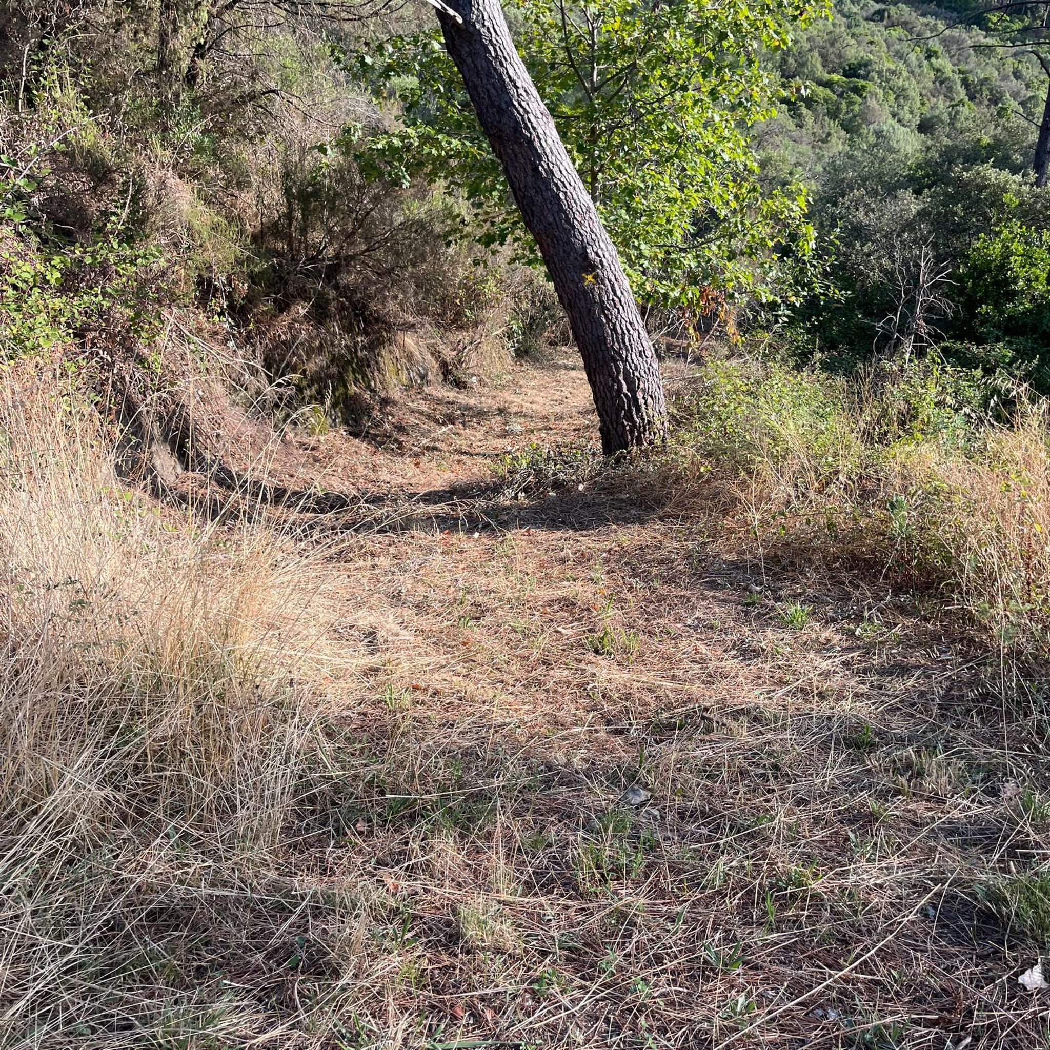
The tour of the lakes is not of much interest, mainly being wide paths, without much relief, and with no view worthy of the name, including on the lakes (which we see very little, except on the eastern part, which is a shame). The western part is even difficult (we follow the road for 2km...). In short, a walk to forget, except perhaps for a running outing, or a detour via the Eagle peak.
0
1

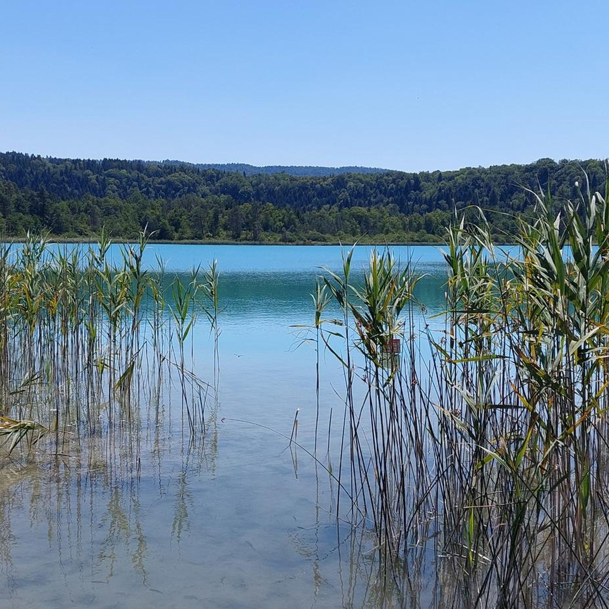
It is a natural lake of glacial origin with a wild appearance. This lake will surprise you with its turquoise shores on a clear day and its cliffs in the background. It is otherwise known as Lake Ilay. With an area of 72 hectares and an average depth of ten meters, it is fed mainly by Lake Grand Maclu, to which it is connected by a small natural canal approximately 200 meters long. Possible activities: Hiking (tour of the three lakes/four lakes) and mountain biking (tour of the five lakes), horse riding, holiday activities and entertainment... Swimming is tolerated, under your own responsibility.
1
0


Lake L'Abbaye in the Jura Mountains is surrounded by hills and forests. Its clear waters reflect the landscape, offering a peaceful setting for boating, fishing, and hiking. Unfortunately, swimming is not permitted.
0
0
라 프라네 주변에서 가장 인기 있는 명소


더 살펴보기
라 프라네 주변에서 완벽한 호수를 아직 못 찾으셨나요? 이 지역의 가이드를 확인하여 더 아름다운 장소를 찾아보세요.
