론노에서 가장 멋진 15개의 산길
론노에서 가장 멋진 산길을 아래에서 살펴보세요. 풍경을 감상하기에도 좋고, 오르막길/내리막길을 따라 걷기에도 좋은 곳이랍니다. 커뮤니티가 특별 도움을 통해 공유한 콘텐츠인 만큼 믿을 수 있는 정보이니 마음에 드는 산길이 있다면 바로 다음 모험 계획에 추가해서 바로 방문해보세요.
마지막 업데이트: 10월 13, 2026


이런 장소를 발견하려면 지금 가입하세요
최고의 싱글 트랙, 봉우리 및 다양한 흥미로운 야외 장소에 대한 추천을 받아보세요.
크루아 데 푸르슈 고개
하이라이트 • 산악 고개
번역문 보기
팁에 의해

오늘 무료 계정으로 시작하세요
다음 모험이 기다리고 있어요.
커뮤니티 팁

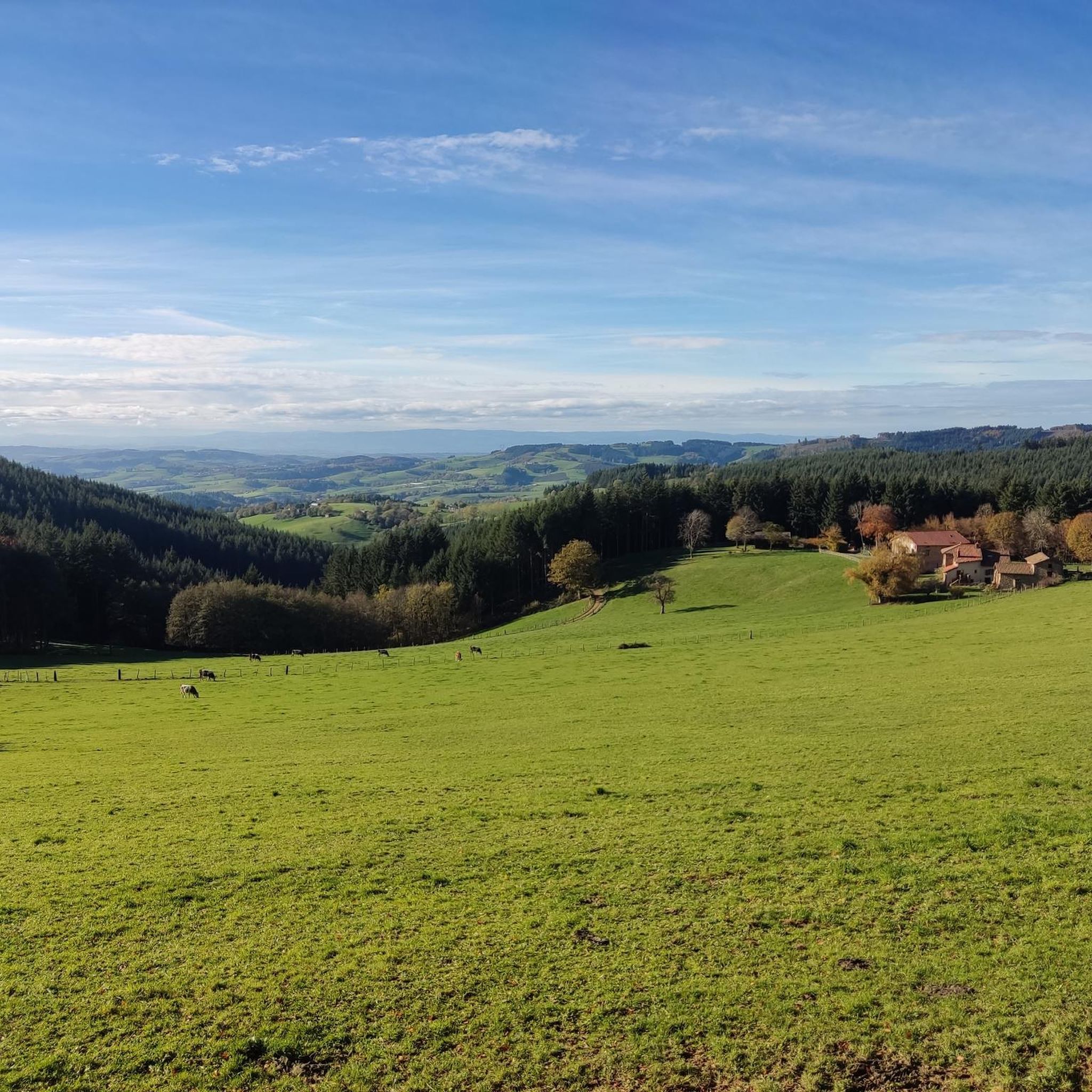
The pass of the pavilion culminates at 755 meters above sea level. The view of the western slope is quite unobstructed. I recommend a stop at the Le Pavillon hostel-hotel, which offers good food and allows you to take a break after climbing the pass.
0
0

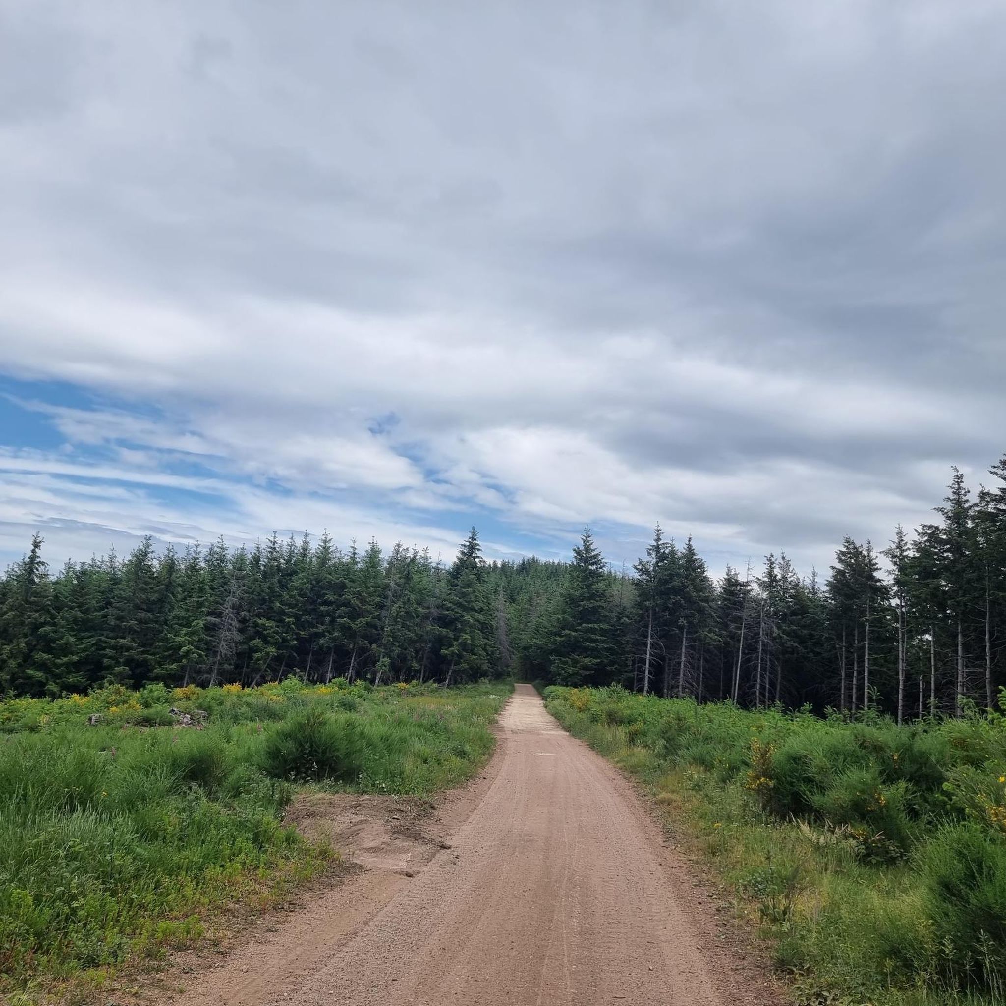
Col de la Croix des Fourches, in the middle of the forest, on the heights of the village of Saint-Just d'Avray.
1
0

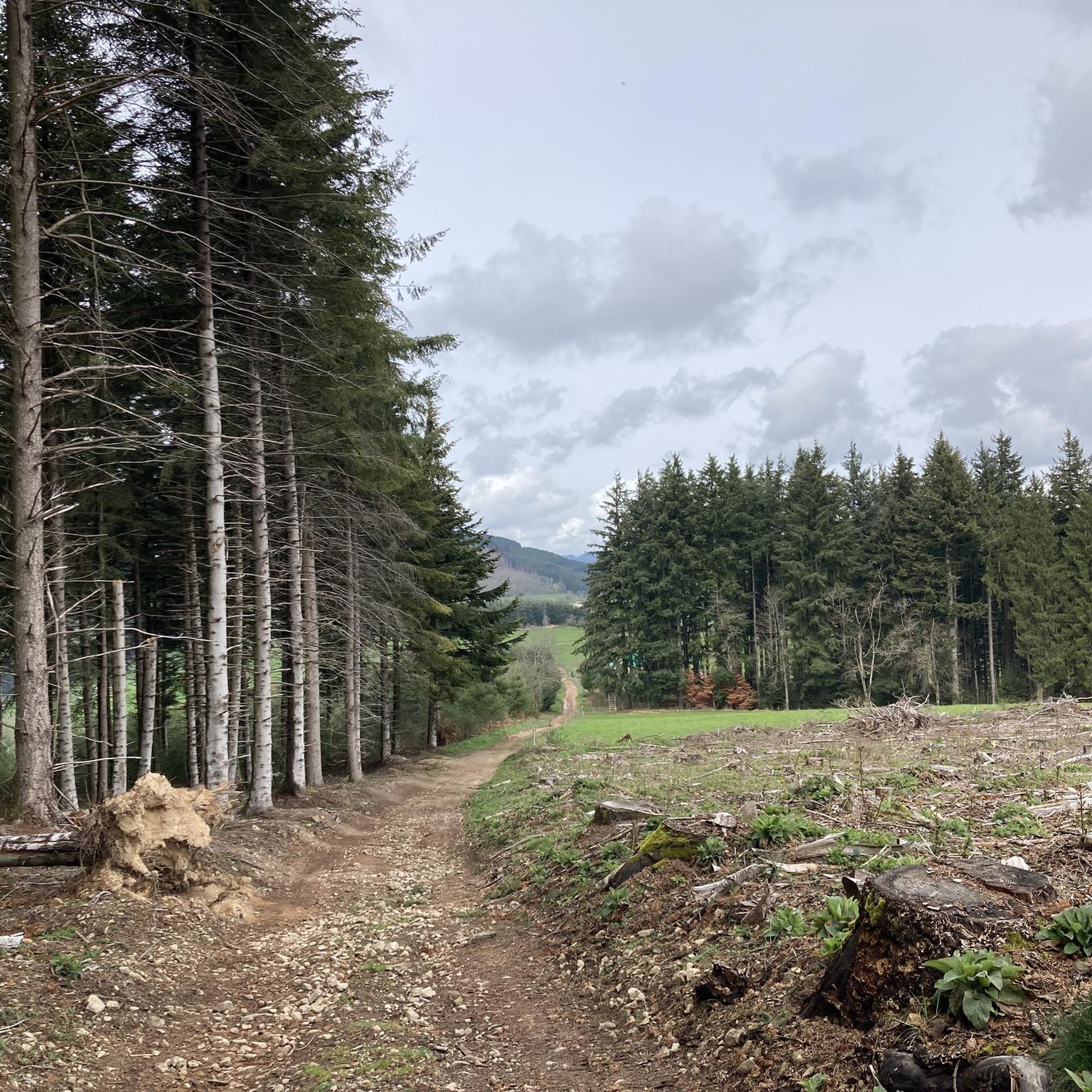
Nice pass to do from: Chambost-Allières, Chamelet, Létra, La Saule d'Oingt in the extension of the Col du Chêne. Nice percentages on the Chamelet side, Létra and in the beginning of the ascent from Chambost, at the end the slope flattens out. From Chambost, we climb in a beautiful semi-mountain atmosphere. The connection from the Col du Chêne to the Joncin offers a magnificent view all along over the Azergues. It is the starting point of a beautiful forest trail in the Cantinière forest, to be done in gravel, and mountain bike trails.
2
0
Nice pass to do from: Chambost-Allières, Chamelet, Létra, La Saule d'Oingt in the extension of the Col du Chêne. Nice percentages on the Chamelet side, Létra and in the beginning of the ascent from Chambost, at the end the slope flattens out. From Chambost, we climb in a beautiful semi-mountain atmosphere. The connection from the Col du Chêne to the Joncin offers a magnificent view all along over the Azergues. It is the starting point of a beautiful forest trail in the Cantinière forest, to be done in gravel, and mountain bike trails.
0
0
Culminates at 755 m. To be done from several sides: St Vincent de Rhins, Cours la ville, La Ville, from the Rhine via Thel, from Mardore. On all sides fairly simple collar overall without large percentage. An inn is at the top for a supply possibly. Nice views but not amazing either. The view is unobstructed on the west side at the top.
0
0
3 or even 5 possible climbs: from Azergues via Grandris 3: the main one, a small annex in less good condition from Grandris Haut and a terrible variant via Gondras with passages at 25% from Grandris bas. They all return to the main road before the pass. The main road and on a road in fairly good condition, little gradient 3/4% for about 9 km with beautiful landscapes and quite a few clear views. On the Rhine valley side, you can climb from Cublize (approximately 5% average but much shorter) or from Magny via Meaux la Montagne. On the latter the climb to Meaux is quite steep at 7/8% then after Meaux the slope is gentle not far from 2/3%. On these faces the landscapes are less clear but still appreciable. In summer be careful because good parts of the pass especially from the Rhine are in full dodger for quite a long time.
2
0
Ronno 쪽에서는 꽤 쉬운 고개입니다. Col du Pilon의 시작 부분은 차들로 꽤 붐비지만, 더 조용한 도로로 갈라집니다. 풍경은 별로 없지만, 특히 습한 날씨에는 숲 속의 분위기가 환상적입니다. Saint-Just-d'Avray 쪽에서는 Azergues 계곡에서부터 오르막이 길지만 점진적입니다. 경사도는 Saint-Just부터 정말 흥미로워집니다. 이쪽에서는 풍경이 더 탁 트여 있다가 마지막 구간으로 접어들기 전에 숲으로 들어가며, 더 가파른 경사도(6% 및 7%)와 함께 특히 여름에 상쾌한 분위기를 느낄 수 있습니다. 능선 임도까지 그래블이나 산악자전거로 도달할 수 있습니다.
1
0

론노 주변에서 가장 인기 있는 명소


더 살펴보기
이 가이드를 통해 더 많은 장대한 산악 통과를 확인해보세요 론노 주변:
