게마페 최고의 라이딩 경로
4.3
(333)
4,056
자전거 타는 사람
485
라이딩
게마페의 로드 사이클링 경로를 찾으시나요? 그렇다면 게마페 로드 라이딩 컬렉션 중에서 가장 멋진 라이딩 장소를 아래에서 살펴보세요.
마지막 업데이트: 8월 26, 2026
4.0
(3)
22
자전거 타는 사람
35.9km
01:26
170m
170m
보통 도로 자전거 타기. 모든 체력 수준에 적합. 투어 중 라이딩하기 어려운 비포장 구간이 있을 수 있음.
5.0
(5)
18
자전거 타는 사람
63.1km
02:37
410m
410m
보통 도로 자전거 타기. 좋은 체력 필요. 지면 대부분이 잘 포장되어 있고 라이딩하기 쉬움.

무료 회원 가입
4.3
(3)
11
자전거 타는 사람
55.4km
02:22
380m
380m
보통 도로 자전거 타기. 좋은 체력 필요. 지면 대부분이 잘 포장되어 있고 라이딩하기 쉬움.
10
자전거 타는 사람
23.4km
00:55
110m
110m
초급용 로드 라이딩. 모든 체력 수준에 적합. 지면 대부분이 잘 포장되어 있고 라이딩하기 쉬움.
9
자전거 타는 사람
60.1km
02:23
230m
230m
보통 도로 자전거 타기. 좋은 체력 필요. 지면 대부분이 잘 포장되어 있고 라이딩하기 쉬움.
더 다양한 경로와 다른 탐험가들의 추천을 살펴보세요.
무료 회원 가입
이미 komoot 계정이 있나요?
투어 추천은 다른 사람들이 komoot에서 완료한 수천 개의 활동을 바탕으로 구성되어 있습니다.
오늘 무료 계정으로 시작하세요
다음 모험이 기다리고 있어요.
로그인 또는 가입하기



커뮤니티 팁

Mont César rises to a height of 138 meters on the left bank of the Thérain River, near the hamlet of Froidmont, in the municipality of Bailleul-sur-Thérain, in the Oise department. The hill, which overlooks the valley and surrounding marshes, has been inhabited since the Bronze Age and was likely a Gallo-Roman oppidum on an ancient, fortified Gallic camp. Archaeological excavations carried out since the 18th century have unearthed numerous objects and remains of fortifications. During excavations conducted in 1878 by Isidore Berton, Gallic coins and various objects from the Roman period were discovered. Want to know more? Click through to the source: https://fr.wikipedia.org/wiki/Mont_C%C3%A9sar
0
0

Small hill over 500 meters through fields and woods, with a positive elevation gain of 26 meters.
0
0


Monument to the dead of Neuville-Saint-Vaast during the two world wars. The village was evacuated at the start of the Great War, destroyed by the fighting of 1915. The village was completely rebuilt after the war, hence its motto Resurgam and its coat of arms with the phoenix. The reconstruction was completed in the 1930s.
0
1
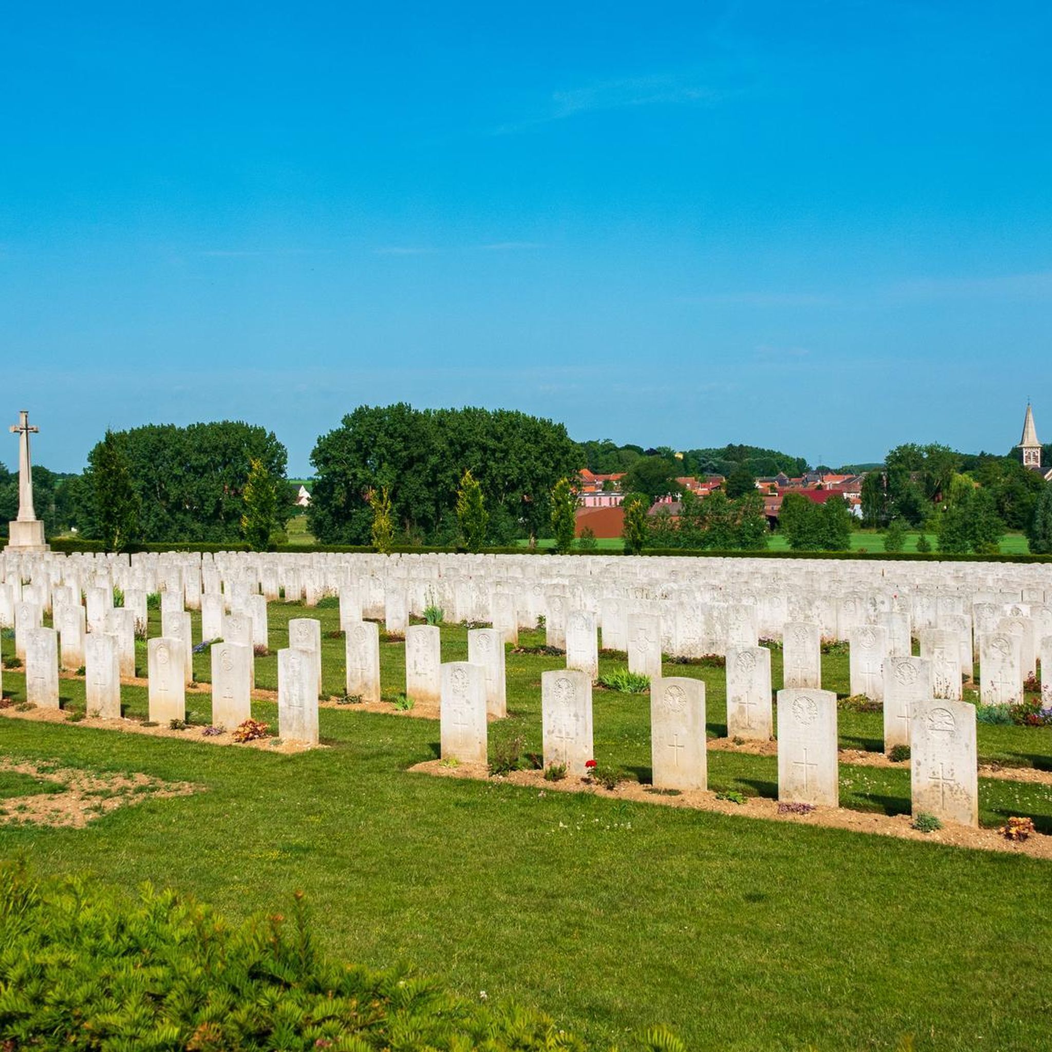
Zivy-Crater was one of two mine craters that were used by the Canadian Corps Burial Officer in 1917 for the burial of bodies found on the Vimy battlefield.
0
0
The Chapel, built in 1624, is located on the edge of the lands of Etrun Abbey, and visible along the old Gallo-Roman road. According to legend, the chapel was built on this location to respect the wishes of two nuns.
1
0

Very rolling greenway, somewhat monotonous but still pleasant
1
0

Entrance to the Biache marshes, on the towpath side
0
1
게마페 주변에서 가장 인기 있는 명소


더 살펴보기
다른 지역의 최고의 로드 사이클링 경로를 살펴보세요.
