뮌헨 뒤뜰 산맥 최고의 워킹 & 하이킹 경로
4.5
(104664)
577,285
등산객
12,307
하이킹
뮌헨 뒤뜰 산맥에서 하이킹하며 티롤 구석 부분까지 살펴볼까요? 뮌헨 뒤뜰 산맥에 있는 모든 하이킹 및 워킹 경로 컬렉션 중 가장 멋진 하이킹 경로를 엄선하여 소개해드릴게요. 다른 하이커가 공유한 실제 팁과 사진을 살펴보고 후기를 읽으며 마음에 드는 뮌헨 뒤뜰 산맥 워킹 경로를 찾아보세요.
마지막 업데이트: 9월 26, 2026
4.8
(7844)
42,040
등산객
7.10km
01:54
80m
90m
Embark on an easy hike around the stunning Eibsee Loop Trail, a picturesque route that offers continuous views of Lake Eibsee's crystal-clear waters and its charming small islands. This 4.4-mile (7.1 km) path is generally flat and well-maintained, making it accessible for most. You will gain a gentle 277 feet (84 metres) in elevation, and the entire loop typically takes around 1 hour and 54 minutes to complete. As you walk, you'll pass through dense forests, discover quiet bays, and cross wooden footbridges, with the majestic Zugspitze often reflecting beautifully on the lake's surface. Keep an eye out for the Kotbach Waterfall, adding to the trail's natural charm.
This easy loop is suitable for all fitness levels and families, providing a relaxed outdoor experience. You will find benches conveniently placed along the route for resting and enjoying the scenery. For refreshments, the Eibsee Hotel and Eibsee Pavilion restaurant are located at the start and end of the loop, offering a perfect spot to refuel. Consider visiting during the warmer months, from May to October, when you can also enjoy swimming and boating on the lake.
The Eibsee Loop Trail is renowned for its unique geological setting, nestled in the Wetterstein mountains. The lake itself is famous for its jewel-toned hues, which shift with the light, and the numerous small islands that dot its surface, creating a distinctive landscape. This trail stands out in the region for its combination of easy accessibility and dramatic alpine views, making it a popular choice for those seeking a tranquil yet visually rewarding outdoor adventure near Germany's highest peak.
4.7
(3092)
17,876
등산객
6.38km
01:56
190m
190m
Embark on a moderate hike through the Partnach Gorge, where you will navigate paths carved into sheer rock walls with the river rushing below. The trail then ascends, opening up to expansive alpine scenery and views of the surrounding peaks. This loop covers 4.0 miles (6.4 km) and involves an elevation gain of 617 feet (188 metres), typically completed in about 1 hour and 56 minutes.
Begin your journey from the Garmisch Olympia Ski Stadium, following the clear path towards the gorge entrance. Although the route through the gorge is well-maintained, it is essential to wear sturdy shoes with good grip, as sections can be wet and slippery. On the return leg via Graseck, you will find opportunities for refreshment at various mountain farms and hotels.
This trail showcases the impressive geological forces that shaped the Partnach Gorge, a significant natural landmark in the region. The experience offers a unique blend of dramatic, enclosed canyon landscapes and the contrasting open vistas of the Bavarian Alps.

4.8
(3622)
15,346
등산객
11.8km
04:43
630m
630m
Embark on a moderate 7.3-mile (11.8 km) hike through the dramatic Höllentalklamm, also known as Hell Valley Gorge, a journey that takes around 4 hours and 43 minutes to complete. You will experience a significant elevation gain of 2061 feet (628 metres) as you navigate well-maintained walkways, wooden bridges, and rocky steps, with paths etched into the gorge walls. The Hammersbach river roars through deep ravines, creating numerous waterfalls and showcasing magnificent turquoise waters. You will pass through electrically lit tunnels and along narrow cliffside ledges, offering a constantly changing and adventurous landscape. After exiting the gorge, the path opens up to reveal panoramic views of the Wetterstein mountains, including the towering Zugspitze, Waxensteine, and Riffelwände, especially as you approach the Höllentalangerhütte.
This trail is generally considered medium-difficult, requiring good fitness and sure-footedness. Sturdy, non-slip hiking shoes are essential, as sections within the Höllentalklamm can be wet and slippery, especially after rain. The initial approach from Hammersbach is an easy gravel path, but the gorge itself involves rocky steps and narrow ledges. While not technically difficult, it is less suitable for families with small children under six years old. The cool, moist climate within the gorge offers a refreshing experience, particularly on hot summer days.
The Höllentalklamm offers an immersive and thrilling journey, characterized by its rugged passages and unique tunnels carved into the rock. The Höllentalangerhütte, a modern mountain hut renovated in 2015, provides food, drinks, and overnight stays in a fantastic location. This hut also serves as a crucial base for more challenging alpine climbs, including the famous Höllentalroute to Zugspitze, Germany's highest mountain. The trail provides breathtaking views of the surrounding Bavarian Alps, culminating in the panoramic vistas from the hut.
4.8
(3260)
14,553
등산객
15.0km
05:04
630m
630m
Embark on the Ehrwalder Alm - Seebensee Trail, a challenging hike that guides you through serene alpine meadows and dense, enchanting forests. As you ascend, the path frequently opens up to reveal expansive panoramic views of the surrounding mountains and valleys. This difficult 9.3-mile (15.0 km) journey involves a significant 2065 feet (629 metres) of elevation gain and typically takes about 5 hours and 3 minutes to complete. Your efforts are rewarded with the sight of Lake Seebensee, its clear, blue-green waters beautifully framed by towering peaks, often reflecting the majestic Zugspitze.
When planning your visit, be aware that the overall difficulty can change based on your chosen route. If you hike directly from the Ehrwalder Almbahn valley station, expect a demanding route that requires good physical fitness. Options like the "Hoher Gang" are particularly exposed and challenging, so you will need alpine experience and a good head for heights to tackle them safely.
This trail is notable for its dramatic alpine scenery, culminating at Lake Seebensee, which is often considered one of the most picturesque lakes in the Tiroler Zugspitz Arena. The route offers a true mountain experience, combining varied terrain with rewarding vistas. It is a classic choice for those seeking a strenuous but highly scenic day hike in the region.
4.7
(1828)
7,052
등산객
5.21km
01:32
150m
150m
보통 하이킹. 모든 체력 수준에 적합. 대부분 갈 수 있는 길. 미끄러지지 않게 조심해야 함.
4.7
(1448)
6,427
등산객
4.96km
01:29
140m
140m
보통 하이킹. 모든 체력 수준에 적합. 대부분 갈 수 있는 길. 미끄러지지 않게 조심해야 함.
4.6
(1494)
7,044
등산객
3.39km
01:15
120m
120m
초급용 하이킹. 모든 체력 수준에 적합. 실력과 관계없이 누구나 쉽게 갈 수 있는 길.
4.7
(1095)
3,915
등산객
12.4km
03:38
350m
350m
보통 하이킹. 좋은 체력 필요. 실력과 관계없이 누구나 쉽게 갈 수 있는 길.
4.8
(1366)
5,163
등산객
6.06km
01:58
180m
180m
보통 하이킹. 모든 체력 수준에 적합. 대부분 갈 수 있는 길. 미끄러지지 않게 조심해야 함.
4.8
(1329)
4,656
등산객
12.9km
04:26
310m
310m
보통 하이킹. 좋은 체력 필요. 실력과 관계없이 누구나 쉽게 갈 수 있는 길.
더 다양한 경로와 다른 탐험가들의 추천을 살펴보세요.
이미 komoot 계정이 있나요?
투어 추천은 다른 사람들이 komoot에서 완료한 수천 개의 활동을 바탕으로 구성되어 있습니다.
오늘 무료 계정으로 시작하세요
다음 모험이 기다리고 있어요.
뮌헨 뒤뜰 산맥 주변 인기 장소
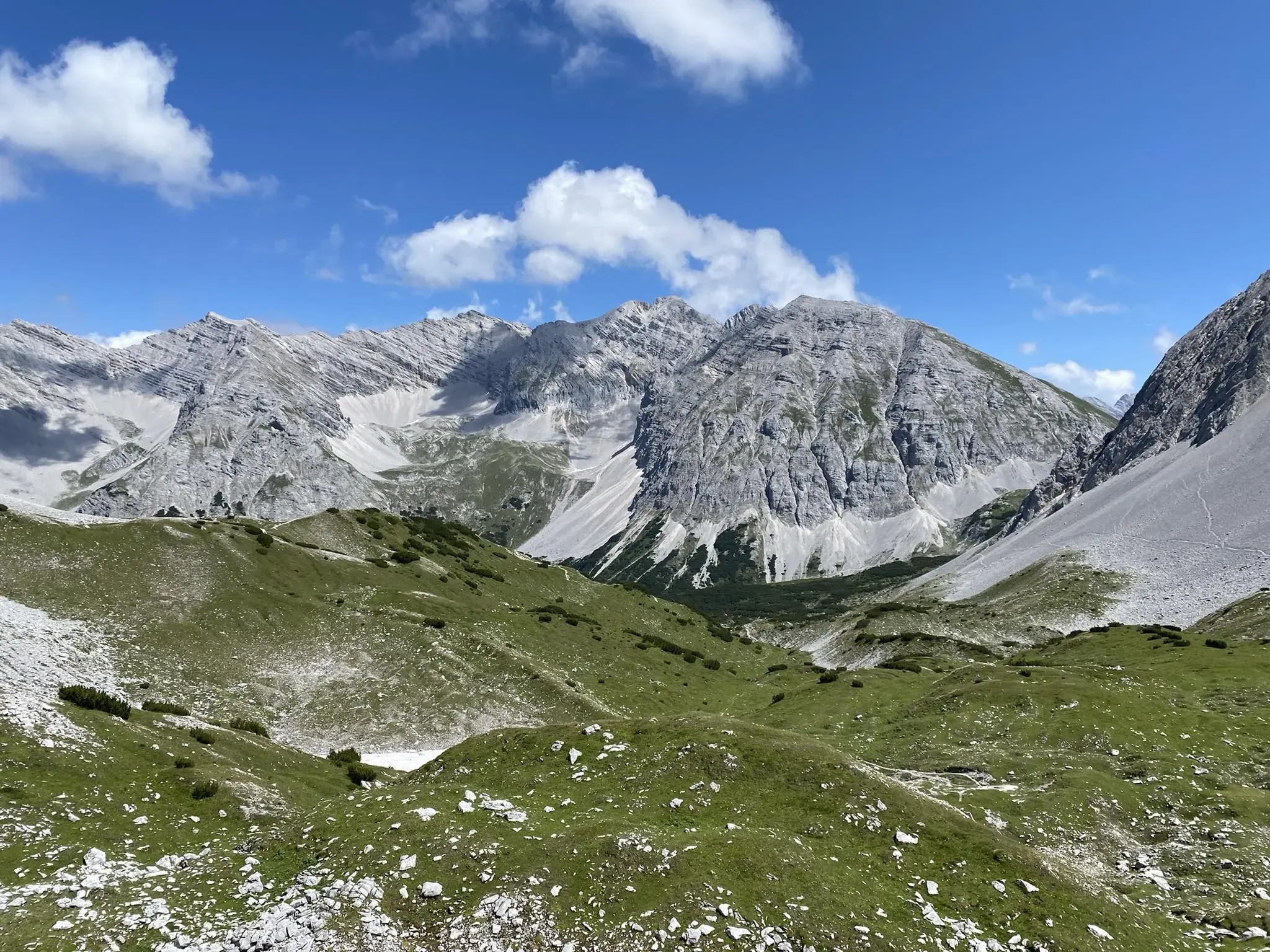
카르벤델 교차로 - 인스브루크에서 실베인슈타인슈파이허
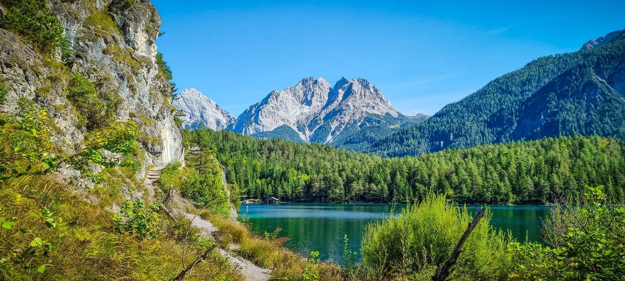
호수, 협곡 및 귀족 경로 - Starkenberg Panorama Trail
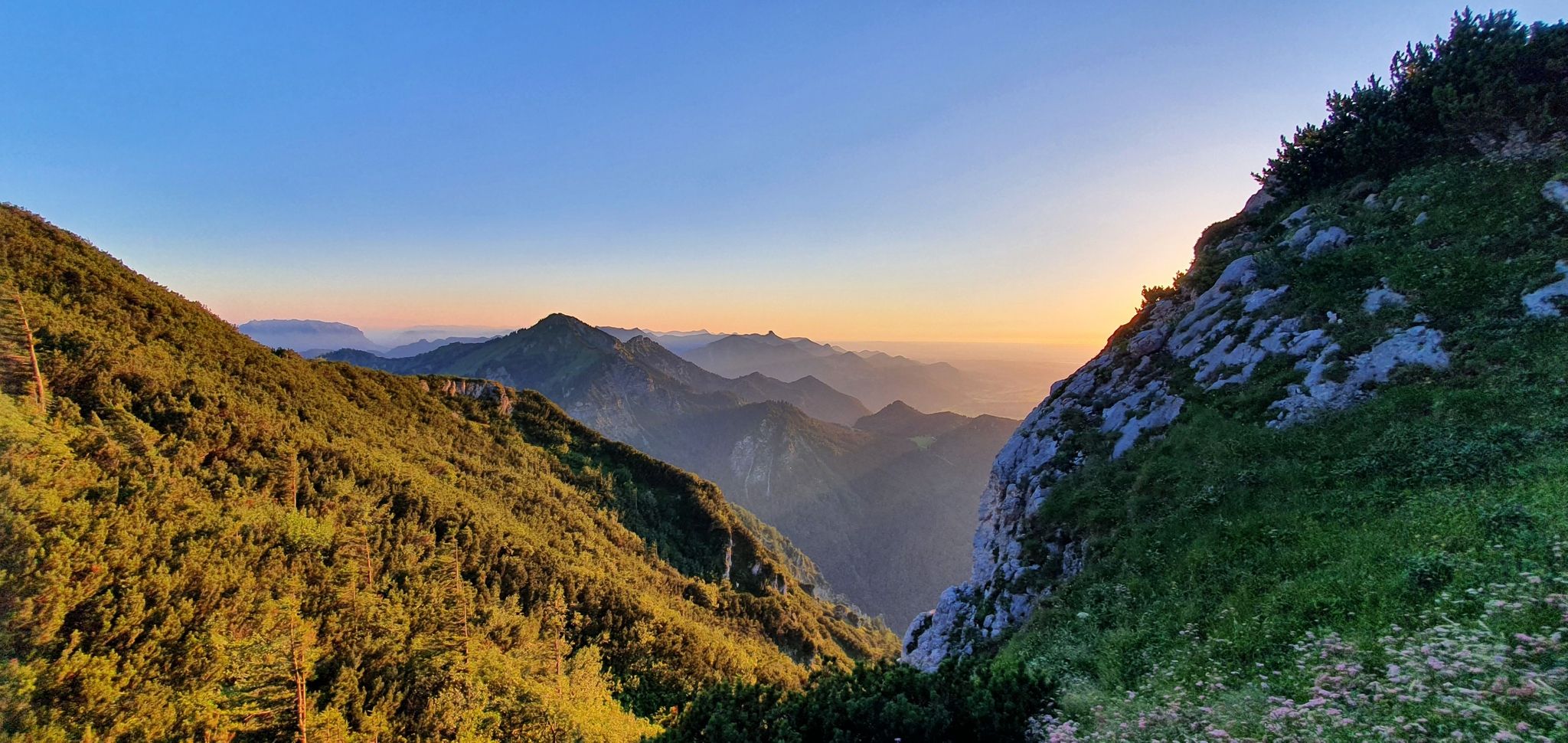
흰 금의 추적: 살츠알펜슈타이크

클래식 알프스 교차로부터 멀리 - L1 가르미쉬에서 브레시아까지

보ден젠에서 쾨닉젠까지 막시밀리안스weg에서
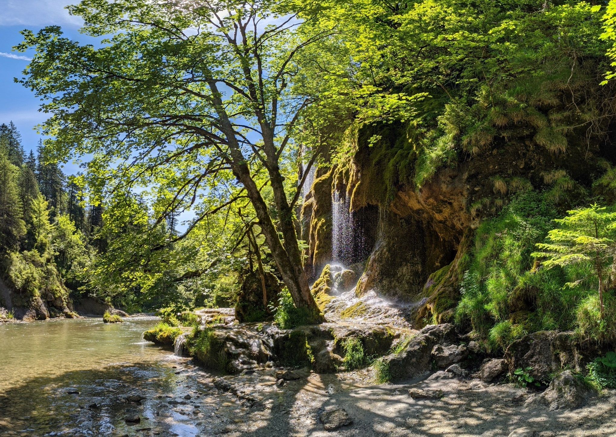
呼吸을 해 보세요 - 바이에르 암메르가우 알프스 명상의 길

오스트리아 보헤미아 숲에서 카르니크 알프스까지 하이킹 - 루페르티 트레일
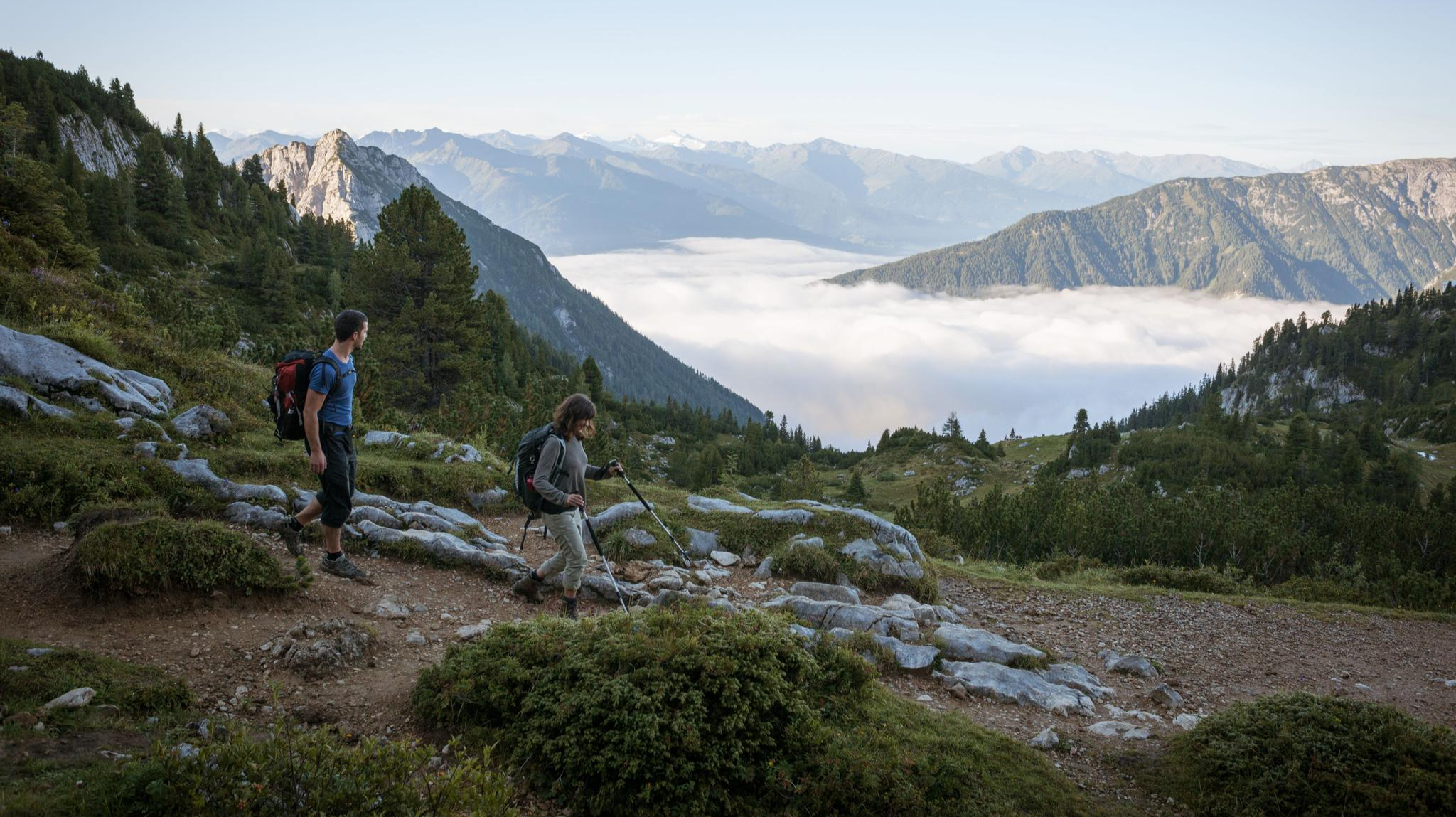
웅장한 독수리 산책로를 따라 하이킹 — 위대한 산책

오스트리아를 49일 동안 걸어다니기 - 북알프스 트레일 01
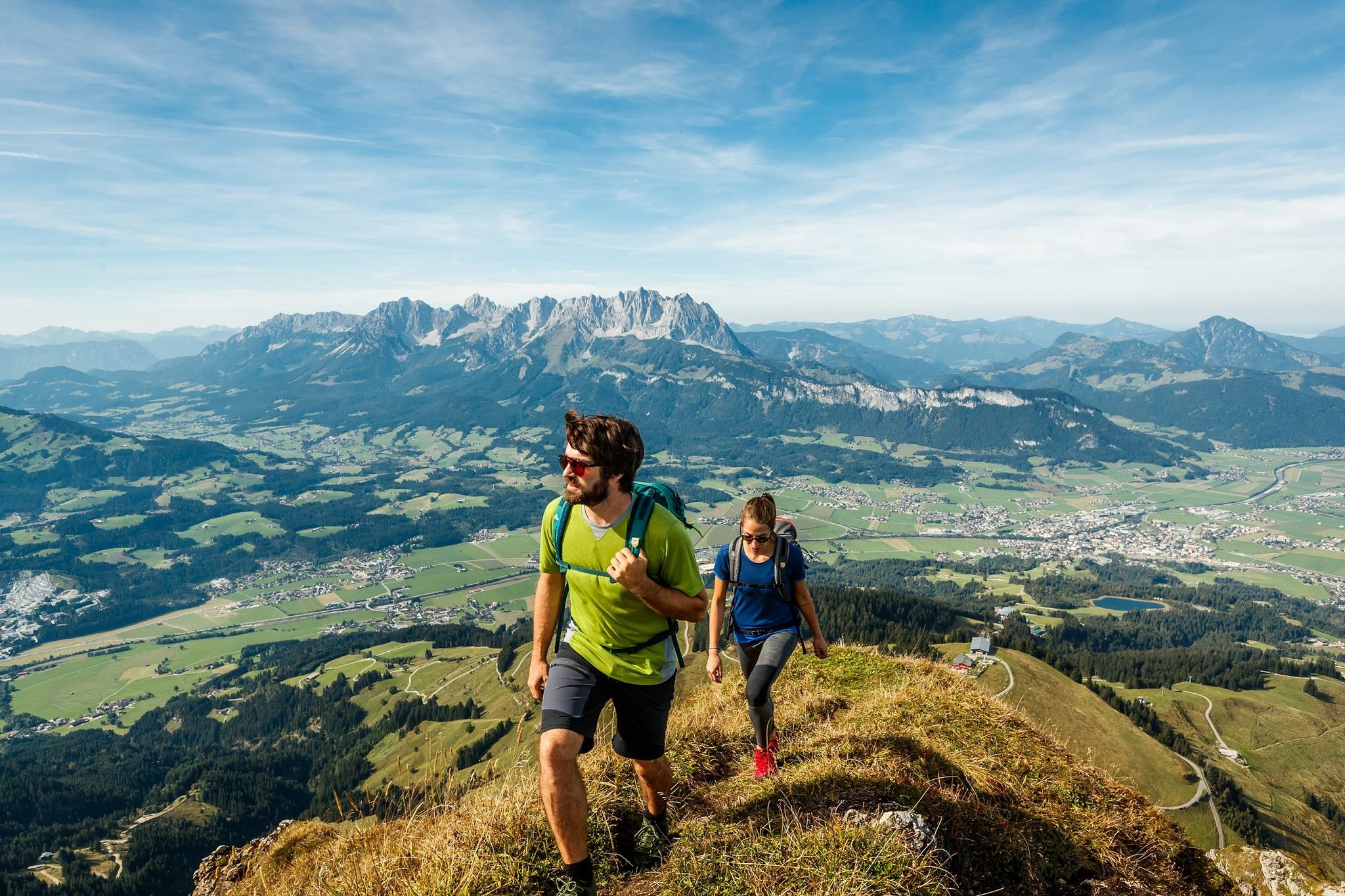
Kitzbühel Alps Trail – Keep on hiking, 3 versions
뮌헨 뒤뜰 산맥의 다른 모험


커뮤니티 팁

쾨니히스 호숫가에 있는 작은 돌탑들은 평온함, 균형, 자연과의 연결을 상징하는 인기 있는 표식입니다. 방문객들은 돌을 조심스럽게 쌓아 베르히테스가덴 알프스의 인상적인 풍경을 배경으로 작고 덧없는 예술 작품을 만듭니다. 특히 호수의 고요한 분위기 속에서 이 탑들은 조화와 단순한 것들의 아름다움을 상징하는 것처럼 보입니다.
0
0

또 다른 정보 지점은 Hintersee에서 Klausbach 계곡으로 가는 길에 있습니다. 그곳에는 수많은 정보가 있습니다.
0
0


If you come here, you cannot help but make a small contribution
0
0

Lake Königssee is a mountain lake located mostly within the Berchtesgaden National Park. Nestled between the steep slopes of the Watzmann and Hagen Mountains, the elongated lake, together with the smaller Obersee to the southeast—around which the Steinernes Meer (Sea of Stones) forms the head of the valley—has a fjord-like character. From the Königssee parking area, a path leads past picturesque boathouses into the national park. Passing the former Café Malerwinkl, the walk continues to the so-called Malerwinkel (Painter's Corner). This hike is also very popular as a winter walk, when the path to Malerwinkl is cleared and gritted.
1
0

The Leutaschklamm is perhaps not as well known as the Partnachklamm, for example, but it is definitely worth seeing and worthwhile.
2
0

Fairly easy to reach by e-bike and also a popular destination for hikers, so, as Thomas already mentioned, it's usually crowded. However, most people don't go any further than the lakeshore, and it quickly becomes quieter towards the top if you avoid the motorway to the Coburger Hütte.
4
1


