생미셸레포르트에서 가장 멋진 8개의 산길
생미셸레포르트에서 가장 멋진 산길을 아래에서 살펴보세요. 풍경을 감상하기에도 좋고, 오르막길/내리막길을 따라 걷기에도 좋은 곳이랍니다. 커뮤니티가 특별 도움을 통해 공유한 콘텐츠인 만큼 믿을 수 있는 정보이니 마음에 드는 산길이 있다면 바로 다음 모험 계획에 추가해서 바로 방문해보세요.
마지막 업데이트: 10월 13, 2026


이런 장소를 발견하려면 지금 가입하세요
최고의 싱글 트랙, 봉우리 및 다양한 흥미로운 야외 장소에 대한 추천을 받아보세요.


남쪽에서 Col de l’Arzelier까지 오르막
하이라이트 (구간) • 산악 고개
번역자 Google •
팁에 의해

무료로 가입하여 생미셸레포르트 주변의 더 많은 산악 고개를 발견하세요.
이미 komoot 계정이 있나요?
오늘 무료 계정으로 시작하세요
다음 모험이 기다리고 있어요.


커뮤니티 팁

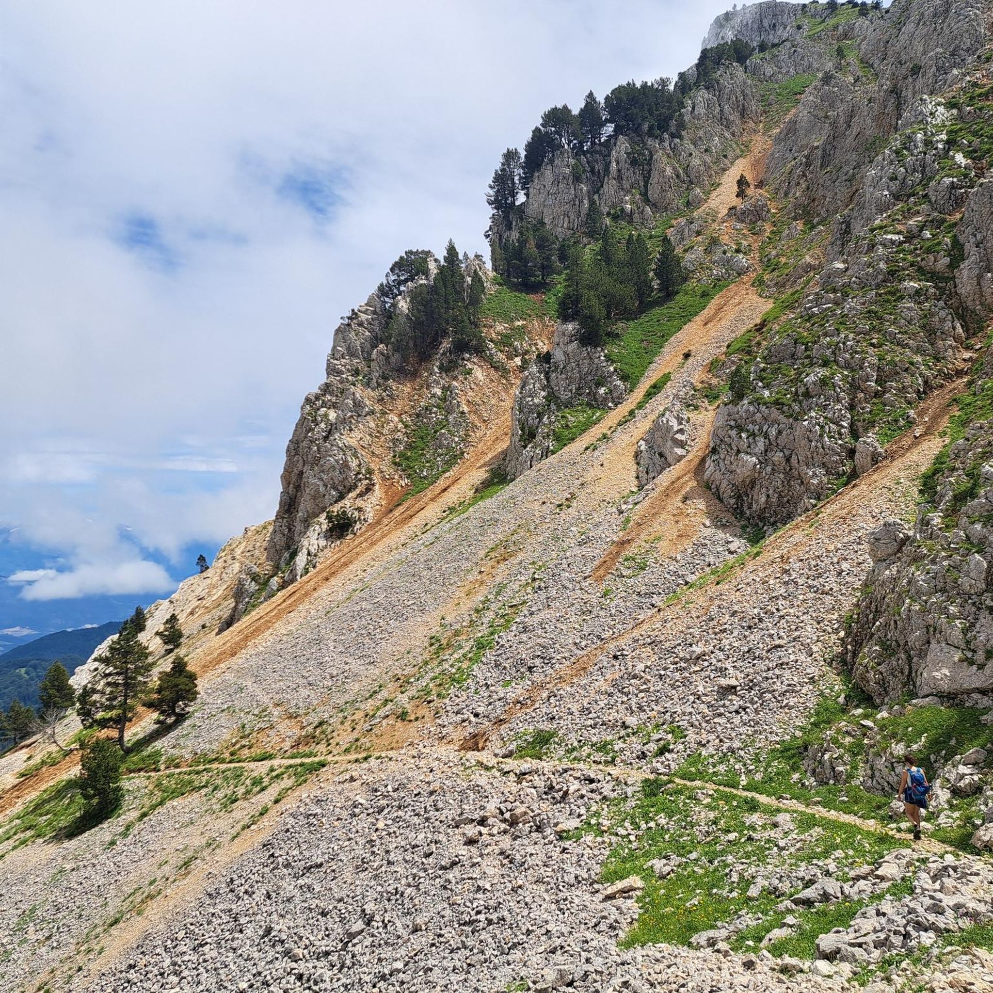
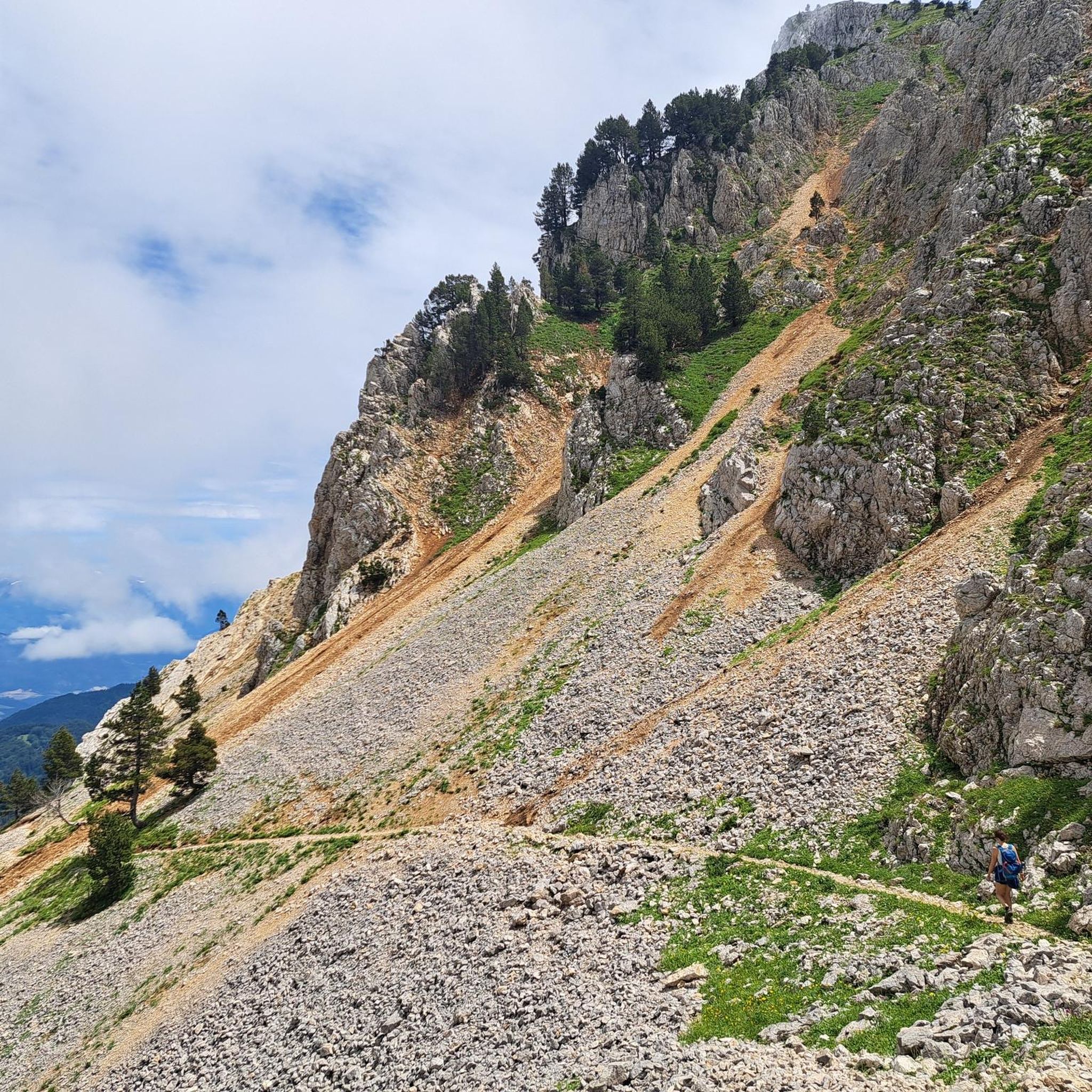
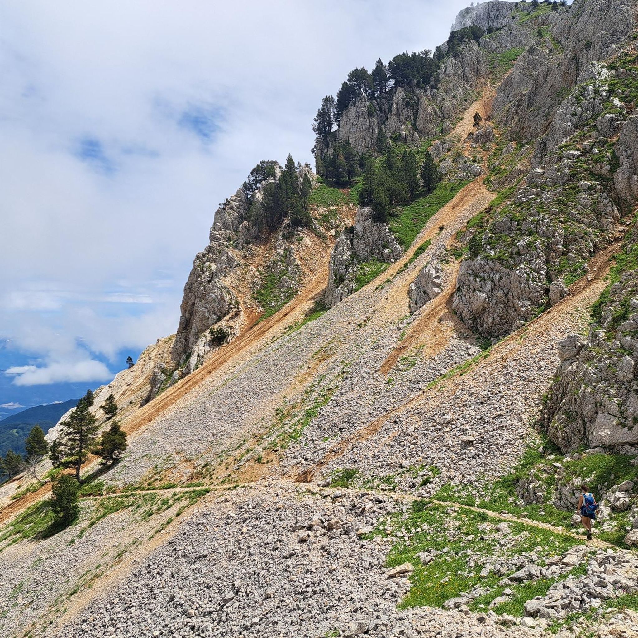
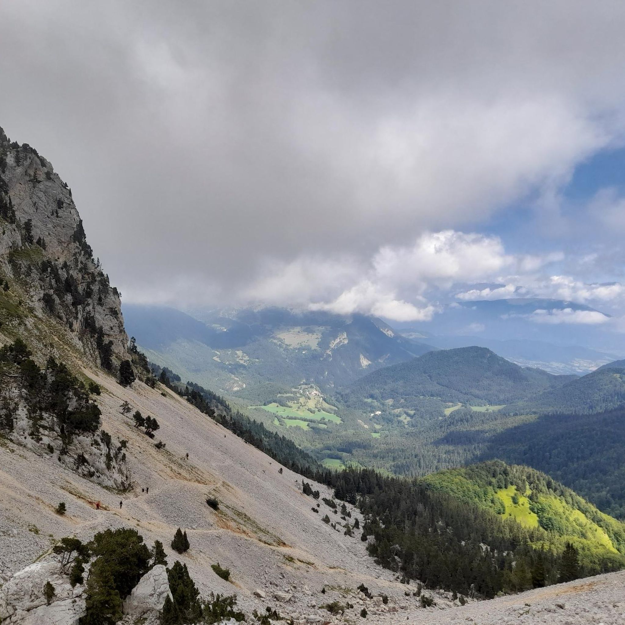
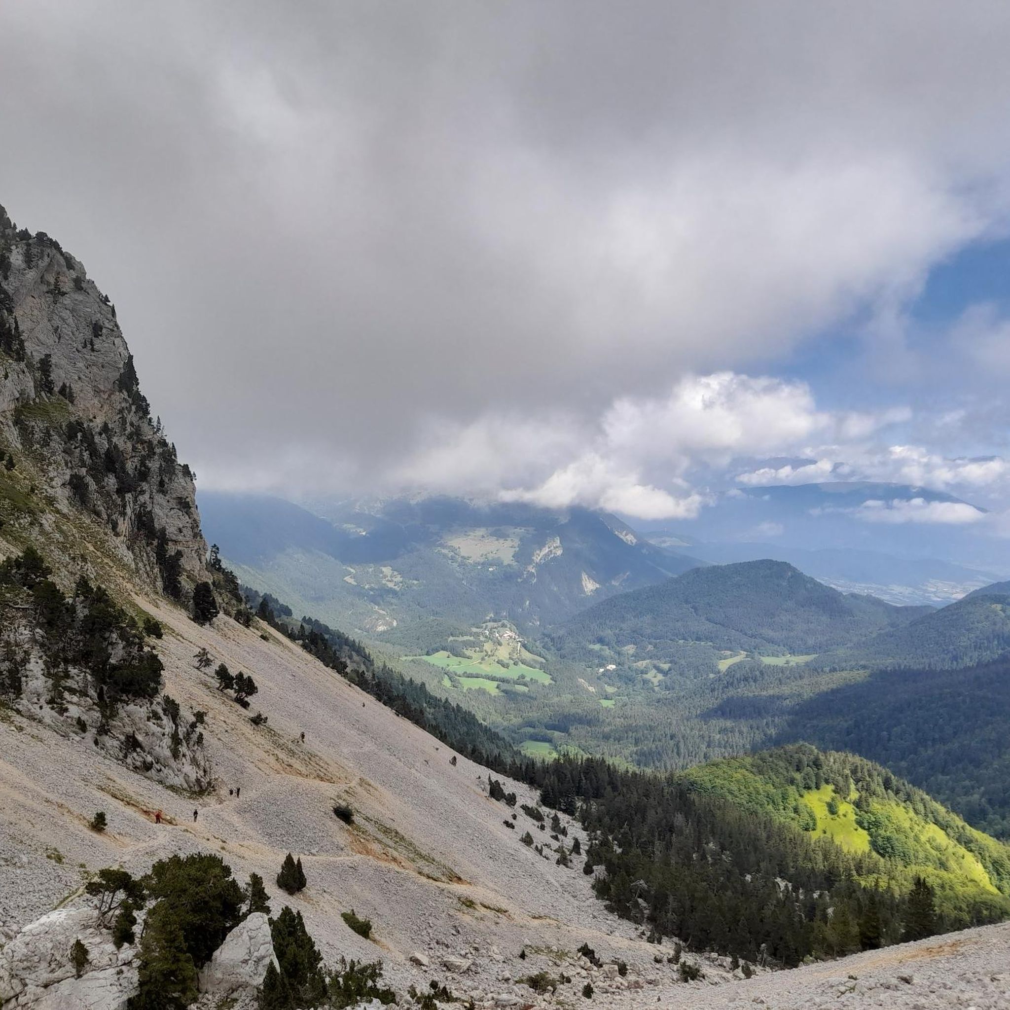
오후의 뜨거운 햇볕 아래 남쪽 경사면은 그늘이 거의 없습니다. 마지막 3km는 가파릅니다. 주의, Bâtie(묘지 문이 잠겨 있음)에는 물이 없으니 미리 충분히 보충하세요!
0
0

From Saint-Michel-les-Portes, it's about 7 km at an average gradient of 8%. The last few kilometers often reach double digits. A cruel climb if it's the last one of your day...
0
0


This is "the normal route". You can also go via Miribel Lanchatre and St Guillaume and climb the pass from the other side. But it's longer and less enjoyable because of the changes in gradient.
1
0

Here is the route for the ascent of the Col de l'Arzelier starting from Saint-Guillaume
2
0
the station is closed, but there are still small restaurants
0
0

The Col des Deux is not located in the Bauges Massif but in the Vercors between the Col de l’Arzelier and the Col de l’Allimas. This trilogy is well known to cyclists in the Grenoble metropolitan area.
0
0

Whether you're on gravel or mountain bike, this is a must-do for the many trails, paths, and roads that surround it. And the view of Mont-Aiguille 🤩
0
0
생미셸레포르트 주변에서 가장 인기 있는 명소


더 살펴보기
이 가이드를 통해 더 많은 장대한 산악 통과를 확인해보세요 생미셸레포르트 주변:
