우르티에르 최고의 러닝 경로
4.3
(35)
1,171
달리기 하는 사람
96
러닝
우르티에르에서 하이킹하며 몽벨리아르 구석 부분까지 살펴볼까요? 우르티에르에 있는 모든 하이킹 및 워킹 경로 컬렉션 중 가장 멋진 하이킹 경로를 엄선하여 소개해드릴게요. 다른 하이커가 공유한 실제 팁과 사진을 살펴보고 후기를 읽으며 마음에 드는 우르티에르 워킹 경로를 찾아보세요.
마지막 업데이트: 9월 13, 2026
27
달리기 하는 사람
13.9km
02:10
600m
600m
This difficult 8.6-mile (13.9 km) jogging route in Parc du Doubs offers challenging terrain and stunning views between mountain and river.
4.0
(1)
5
달리기 하는 사람
13.8km
01:40
410m
410m
어려운 조깅. 우수한 체력 필요. 대부분 갈 수 있는 길. 일부 구간에서 미끄러지지 않게 조심해야 함.

93
달리기 하는 사람
11.0km
01:13
120m
120m
보통 조깅. 좋은 체력 필요. 대부분 포장된 지면. 실력과 관계없이 누구나 갈 수 있음.
65
달리기 하는 사람
23.8km
03:18
920m
920m
어려운 조깅. 우수한 체력 필요. 대부분 포장된 지면. 실력과 관계없이 누구나 갈 수 있음.
16
달리기 하는 사람
9.27km
00:58
80m
80m
보통 조깅. 좋은 체력 필요. 대부분 포장된 지면. 실력과 관계없이 누구나 갈 수 있음.
더 다양한 경로와 다른 탐험가들의 추천을 살펴보세요.
이미 komoot 계정이 있나요?
투어 추천은 다른 사람들이 komoot에서 완료한 수천 개의 활동을 바탕으로 구성되어 있습니다.
오늘 무료 계정으로 시작하세요
다음 모험이 기다리고 있어요.

커뮤니티 팁

Please note that most of the photos associated with the route are photos of the via ferrata and the names of the ladders themselves, which are very solid stairs and not rope bridges! It is perfectly feasible for hiking, even if the height can be disconcerting.
4
1

Everything is in good working order. A beautiful experience, thank you to whomever keeps this maintained and safe!
1
0

Spectacular and refreshing after a walk in the sun!
1
0

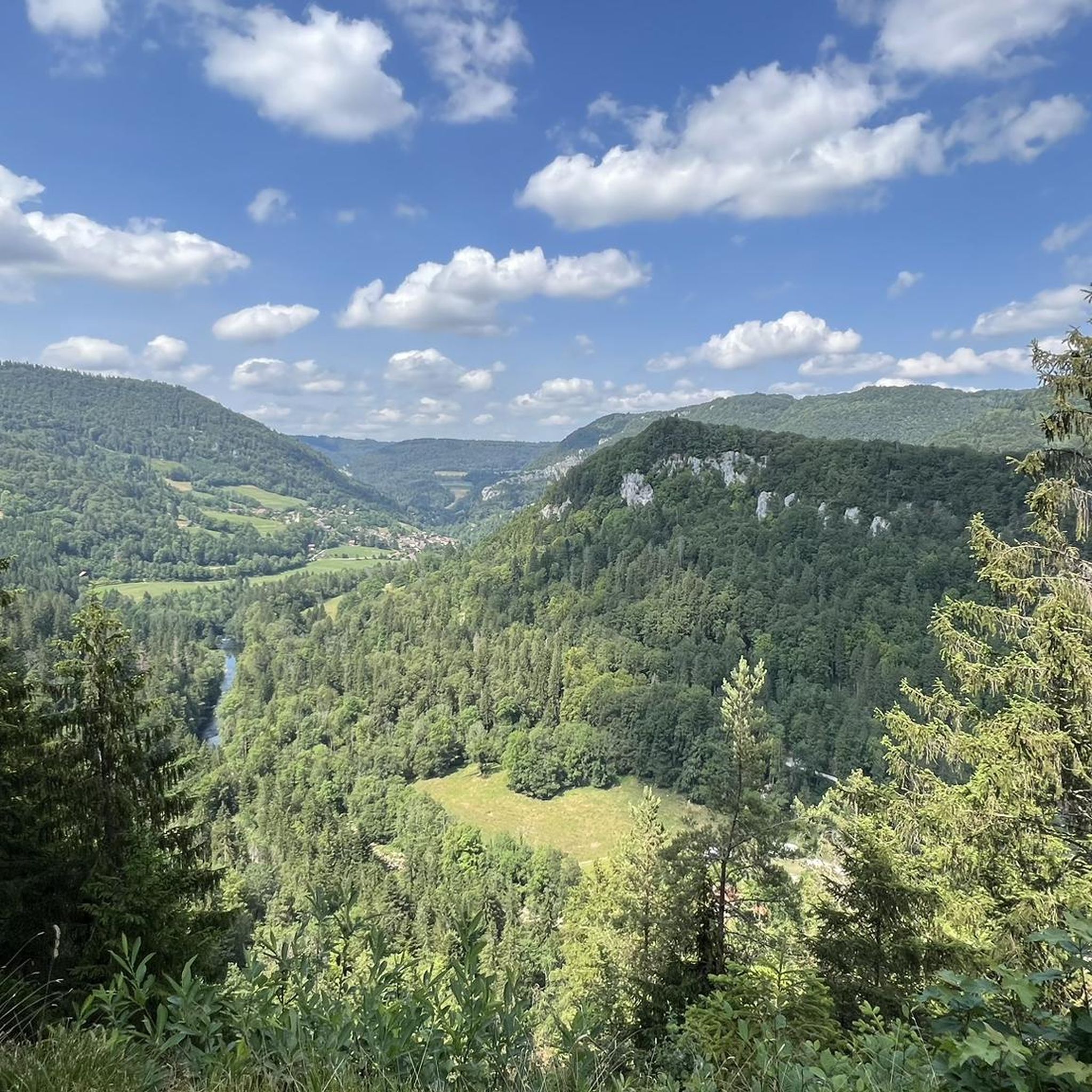
Take a short break here to enjoy the extraordinary views of the Doubs valley, France and part of the Franches-Montagnes.
0
0
Superb setting between river and mountain. The Doubs represents the border between Switzerland and France.
0
0
Beautiful forest path with magnificent views of the Doubs valley.
0
0

This 500 meters long via ferrata with a 100 meters positive difference in altitude takes place on the French-Swiss border, in the grandiose and vertiginous setting of the Doubs gorges which for a long time sheltered the smuggling activities between these two countries. Very playful and vertiginous with ladders, footbridges, a zip line, cable and Nepalese bridges, it is certainly one of the most beautiful and impressive via ferrata of the region. After a few minutes of walking on a path, the course begins in the beautiful vertical limestone cliff by a first ladder soon followed by a Nepalese bridge, a beam and a slightly overhanging dihedral. This is the most physical part of the route, and it precedes the first escape route that leads to the Cendrée lookout. The next section offers a short, slightly overhanging passage, then a Tibetan bridge made of logs and a 42-meter-long "3-strand" cable bridge, both of which test your balance. The itinerary continues across a ledge (second possible escape route), takes a descending ladder, crosses a new cable bridge ("2 strands" this time), then goes up vertically by exploiting the weaknesses of the wall. The ladder and the beam that follow announce the long 60 meter zip line that can be avoided via the third escape route (but that would be a shame!). A last beam and a steep and original rope ladder bring you to the end of the via ferrata. A safe path follows the cliff, passes by the belvedere where you can still admire the superb landscapes, then follows the route of the smugglers of yesteryear before bringing you back to the parking lot. (https://www.directmountain.com/en/activities/807-via-ferrata-charquemont/)
4
0
우르티에르 주변에서 가장 인기 있는 명소


더 살펴보기
다른 지역의 최고의 러닝 트레일 & 경로를 살펴보세요.
