다스부르크에서 가장 멋진 10개의 산 정상
다스부르크의 산 정상에 오르면 이 지역의 아름다운 모습을 제대로 구경할 수 있어요. 다만, 10
곳이나 되는 산 정상 중에서 어떤 곳을 가야 할 지 고민된다는 게 문제죠. 다스부르크에서 가장 멋진 산 정상을 살펴본 후에 마음에 드는 산 정상을 다음 모험 계획에 추가해보세요.
마지막 업데이트: 8월 31, 2026

다보 바위와 생 레옹 9세 예배당
하이라이트 • 전망대
번역자 Google •
팁에 의해

이런 장소를 발견하려면 지금 가입하세요
최고의 싱글 트랙, 봉우리 및 다양한 흥미로운 야외 장소에 대한 추천을 받아보세요.
무료 회원 가입


무료로 가입하여 다스부르크 주변의 더 많은 봉우리를 발견하세요.
무료 회원 가입
이미 komoot 계정이 있나요?



커뮤니티 팁

Large rocky plateau; “Hohwalsch” means the height of Walsch, i.e. of Walscheid.
0
0


Beautiful summit with a wonderful panoramic view... however, the way up is mostly pathless and difficult to find... currently the western descent is very overgrown with tall grass...
1
0

Hohwalsch' means the height of Walsch, that is to say of Walscheid. Walscheid was first called 'Walterescett', which means Walter's Forest. This name developed on the border from Walter to Walscheid, because the village was on the border between Belgian Gaul and Upper Germania. [https://www.pays-sarrebourg.com/] From the top of this rock, we have an extensive view, as long as visibility allows.
3
0

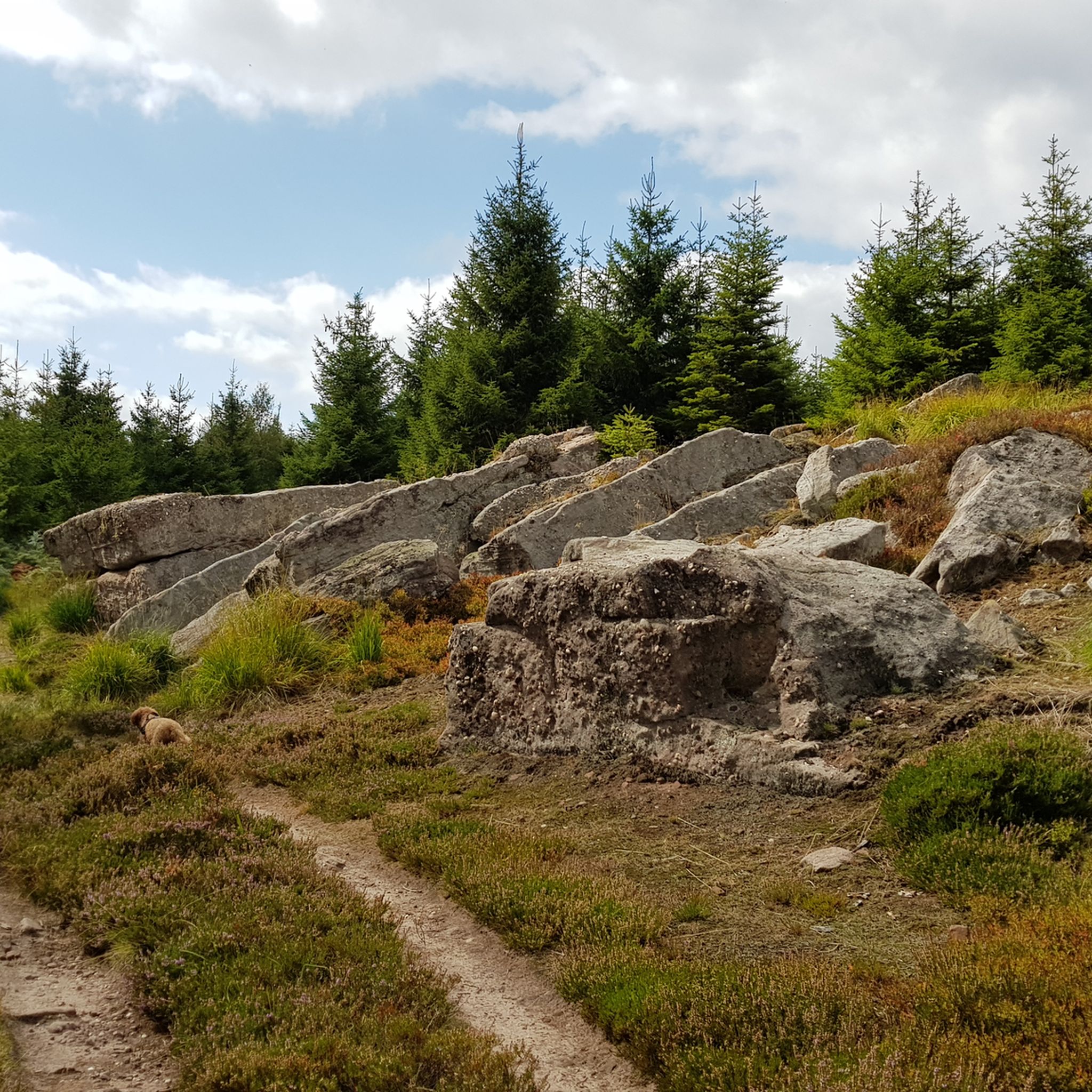
The summit of Narion requires you to branch off from the main path. But this little detour is doubly worth it. Firstly because it offers an admirable view of the southern Vosges and then because its summit rock is remarkable. If this isn't a perfect spot for a nap or a picnic, I don't know what is.
1
0
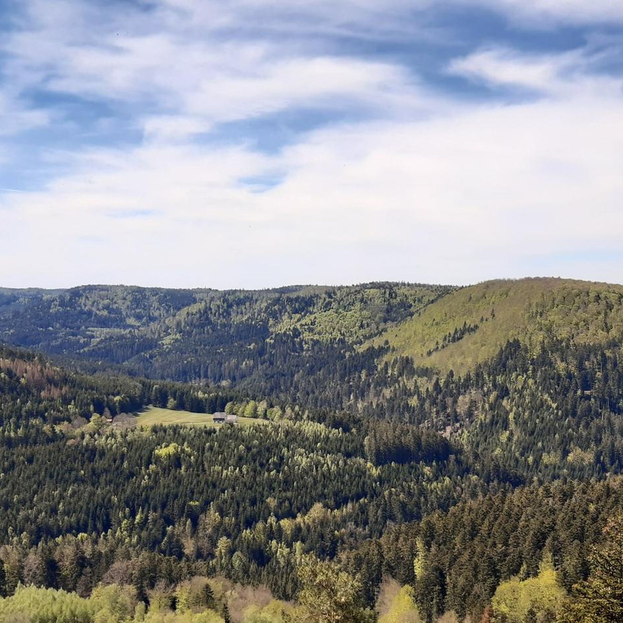
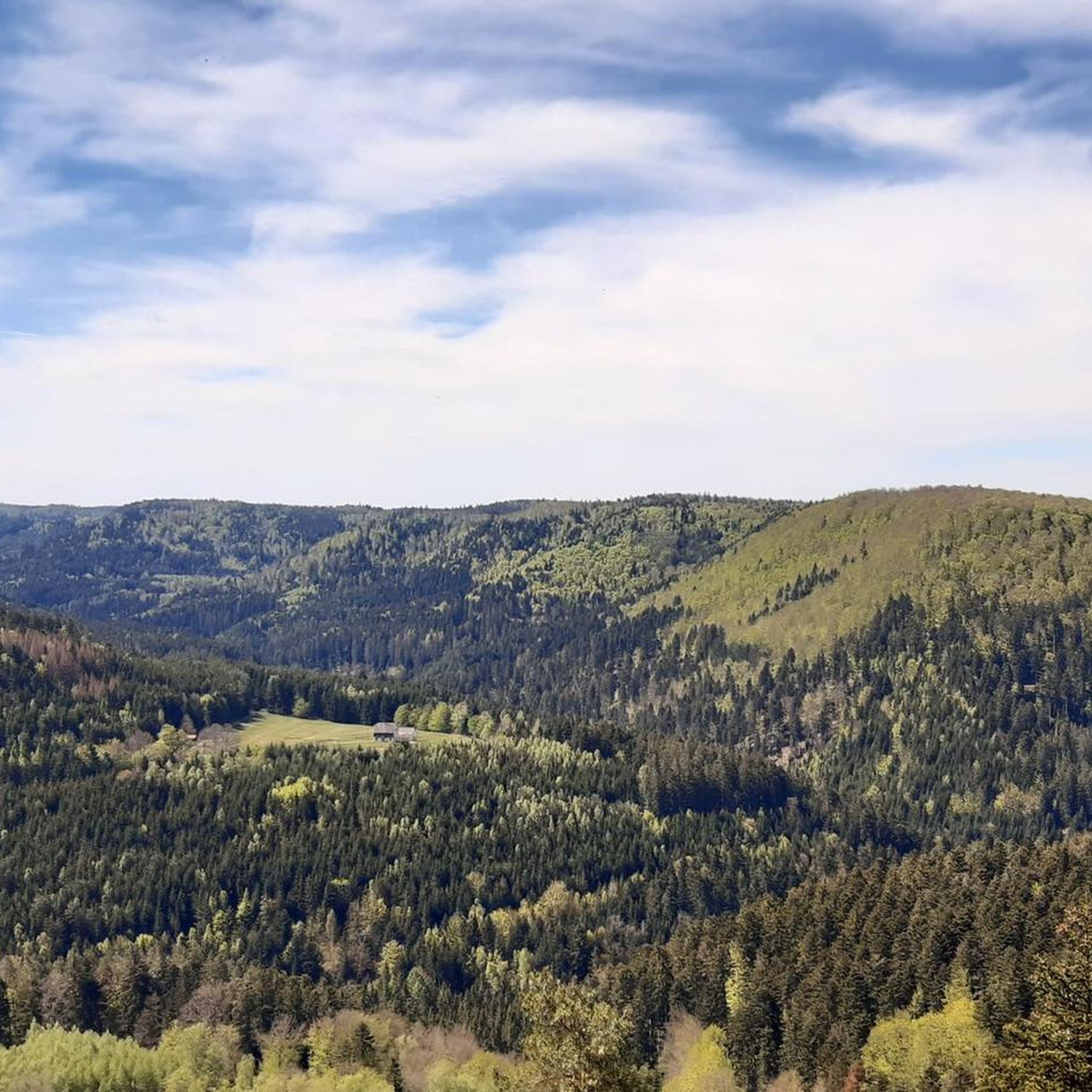
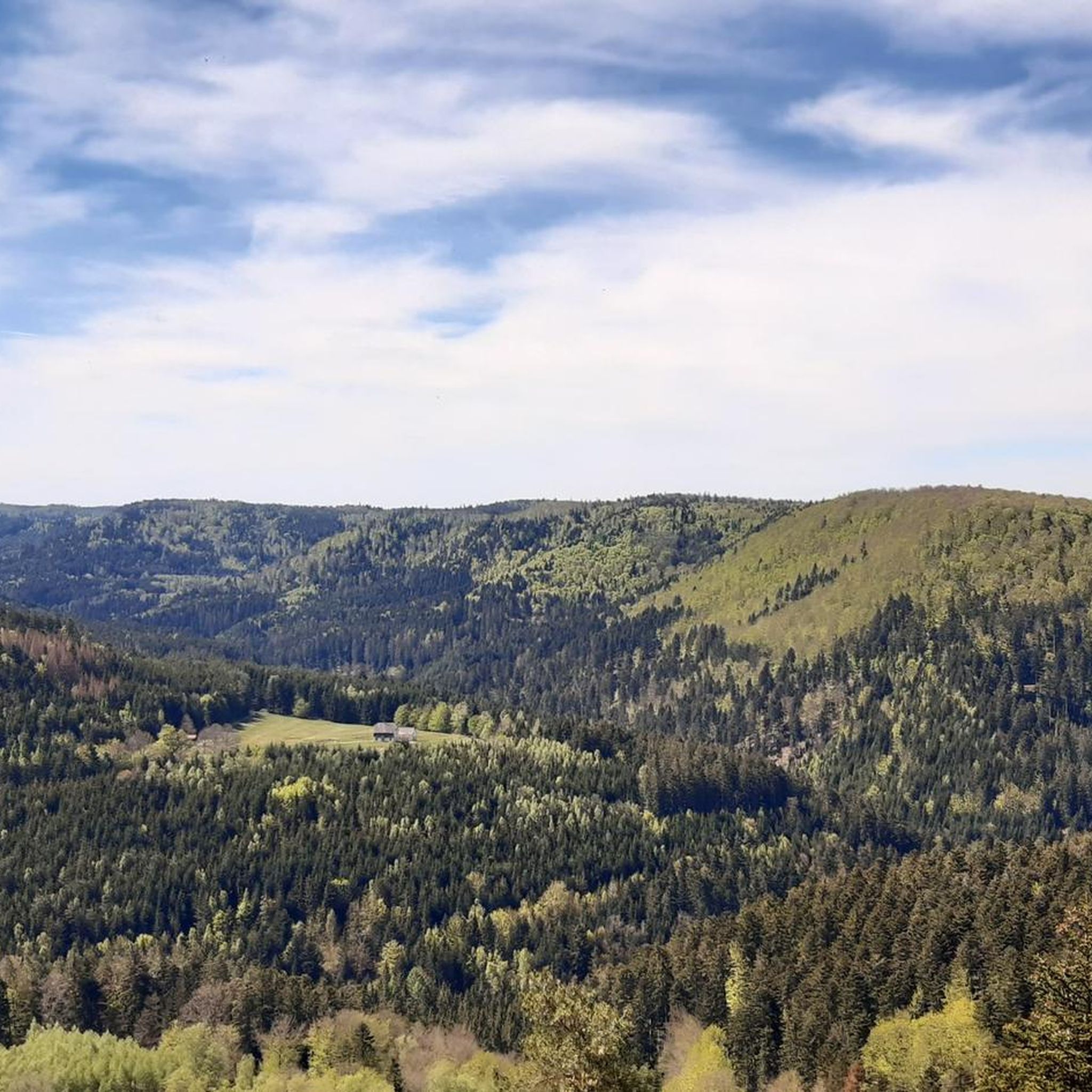
The Schneeberg is a Vosges summit which rises to an altitude of 961 meters and offers a superb view of the Champ du Feu plateau to the south. It also allows you to admire the upper Mossig valley and the Oedenwald forest.
5
0
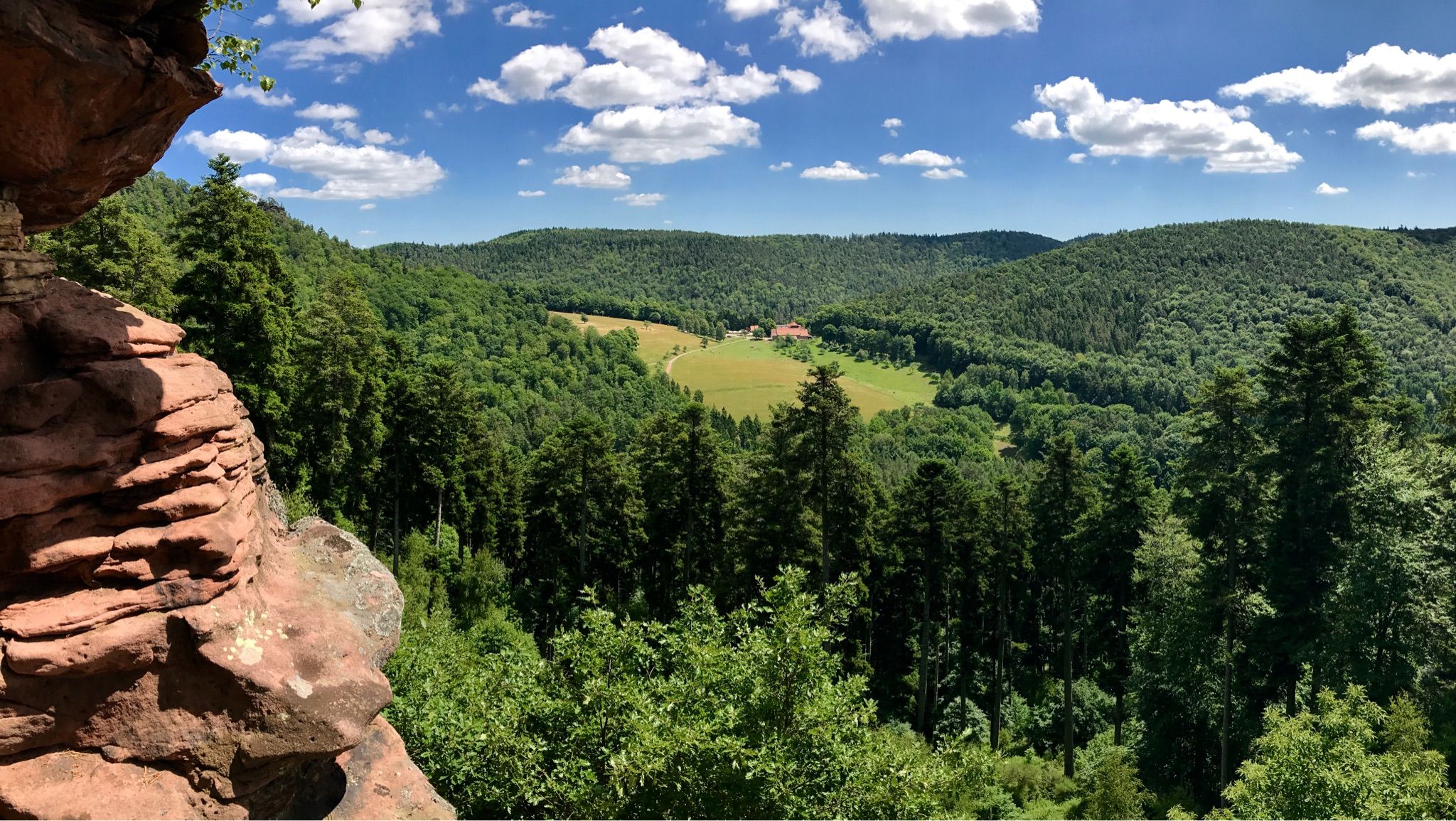
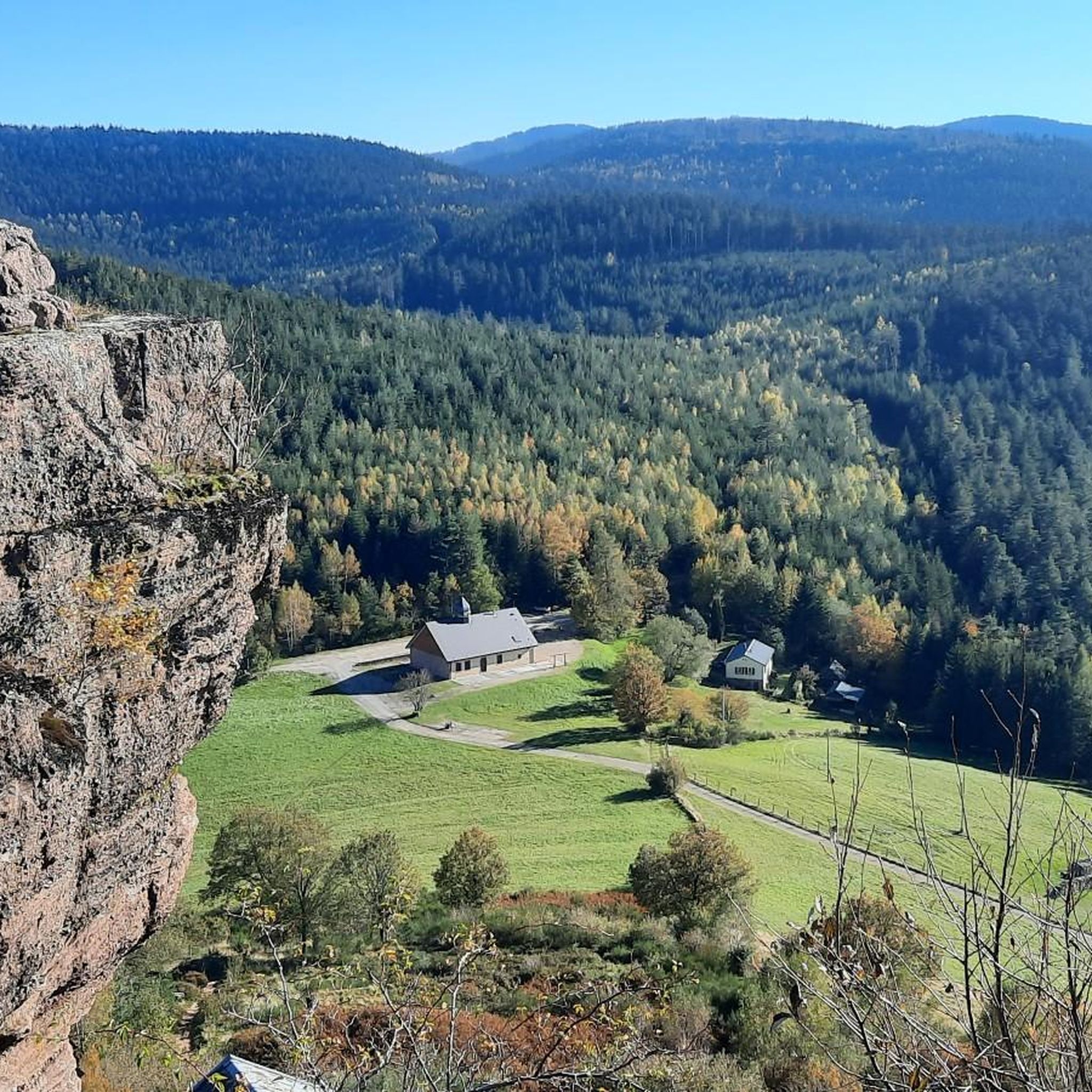
Emerging from the forest, from a height of 664 meters, the pink sandstone rock is a unique site. Places of Celtic worship, the Rock was topped in medieval times by a powerful castle, seat of the legendary county of Dabo. It was destroyed in 1690 on the orders of Louis XIV when the county was annexed to France. The current neo-Romanesque chapel is dedicated to Pope Leo IX, a native of the country. The Rocher de Dabo offers a grandiose view of the vast Vosges forest and the Lorraine plateau. The Rock is visible all year round but access to the platform is regulated during the winter. https://www.visit.alsace/ An observation tower is also integrated into the chapel, from where you can probably admire one of the most beautiful panoramas of the Vosges (weather permitting).
4
0

Le Narion is a peak in the northern Vosges (Vosges) in the French department of Bas-Rhin. Depending on the source, the mountain has an altitude of 998m or often 999m. It is located one kilometer west of the Rocher de Mutzig (1010m), which separates it from the Col du Narion (922m). In the west, 700m away is Le Noll (990m), which is more of a forepeak of Le Narion, as there is a plateau between the two hills and the deepest saddle has a height of 973m - which corresponds to a lumpy height from Le Noll 17m. Le Narion is surrounded by deep forests on all sides, and only its summit area, the plateau towards Le Noll and the uppermost northern slopes have been treeless since December 26, 1999, when Hurricane Lothar felled all the trees here. The summit itself is a 2m high sandstone block that stands on the summit plateau and can be easily climbed with simple climbing (Rock I; T3). In the north, a forest path leads close to the summit, and finally you have to climb without a path through the rubble of rotting trees (T1-2). From the south, a forest aisle leads 400 meters directly and steeply to the summit. Some traces of the path can be seen, but the most beautiful climb to Le Narion is rarely attempted.
2
0
다스부르크 주변에서 가장 인기 있는 명소


더 살펴보기
이 가이드를 통해 다스부르크 주변의 더 놀라운 정상들을 확인해보세요:
