경로

플래너

기능

업데이트

App

로그인 또는 가입

앱 다운로드

로그인 또는 가입

경로
Places to see
프랑스
옥시타니아
생고당

레즈

20의 레즈가지 명소 & 주요 장소


레즈에는 둘러볼 만한 장소가 많답니다. 하이킹 또는 사이클링을 좋아한다면 레즈에 숨겨진 20
가지 보석을 만날 수 있을 거예요. 이 지역의 주요 명소를 살펴보면서 다음 모험을 계획해보세요.

마지막 업데이트: 8월 30, 2026

콜 드 멘테

하이라이트 • 산악 고개

The Col de Menté connects the Garonne valley to that of the Ger, culminating at an altitude of 1,349 meters. Its ascent from the village of Saint-Béat is 9.3 kilometers …

번역자 Google •

에 의해

라이딩 보기

휴대폰으로 전송

저장

픽 뒤 가르

하이라이트 • 정상

This peak must be climbed when you come to the Frontignes. To have the chance to observe the sunrises and sunsets there is... Do not hesitate to stop at the …

번역자 Google •

에 의해

저장

이런 장소를 발견하려면 지금 가입하세요

최고의 싱글 트랙, 봉우리 및 다양한 흥미로운 야외 장소에 대한 추천을 받아보세요.

무료 회원 가입

로마 침입의 절벽

하이라이트 • 기타

This rock wall is in fact the vestige of a spectacular old quarry which was for a long time one of the main activities of Saint Béat, the city of …

번역자 Google •

에 의해

저장

피크 드 카지르

하이라이트 • 정상

I would like to make hikers aware that this route can become particularly dangerous in winter, particularly because of the ridge towards the Pas de l'Ane which can become covered …

번역자 Google •

에 의해

저장

아레스 고개

하이라이트 • 산악 고개

Nice little pass between the Garonne valley and the Ger valley.
More information: quaeldich.de/paesse/col-des-ares

번역자 Google •

에 의해

저장

무료로 가입하여 레즈 주변의 더 많은 명소를 발견하세요.

무료 회원 가입

이미 komoot 계정이 있나요?

오늘 무료 계정으로 시작하세요

다음 모험이 기다리고 있어요.

로그인 또는 가입하기
레즈 주변 인기 장소

레즈 로드 사이클링 경로

레즈 사이클링

레즈 하이킹

레즈 러닝 트레일

레즈 MTB 트레일

커뮤니티 팁

Andrés Sisó
2월 23, 2026, Col des Ares

A beautiful transitional port between the Le Ger river valley and the Garonne river valley

번역: Google

0

0

Impressive rock landmark

0

0

Also, stop at the Là Soulan hostel for a well-deserved break. Very warm welcome. 👍

번역: Google

0

0

Marie B
5월 21, 2025, Pic de Cagire

Very beautiful peak! Magnificent view of the Aneto massif! I recommend it!

번역: Google

0

0

Pascal
2월 10, 2025, Pic de Cagire

I would like to make hikers aware that this route can become particularly dangerous in winter, particularly because of the ridge towards the Pas de l'Ane which can become covered in ice. In this case, ice axes and mountaineering crampons are essential. 2 people died at this location on 1/1/2025, which triggered access bans. I have taken steps to have these bans lifted while raising awareness in a constructive way. Take the time to find out about the snow conditions before undertaking this hike. Enjoy your walks!

번역: Google

9

1

StevieKyle
11월 24, 2024, Pic du Gar

This is essentially a 14km clockwise loop. The ascent to the peaks is pretty well marked out although I’d always suggest downloading an offline route map. It’s not particularly technical just some simple clambering over a few steep rocky sections before the 1st col (Teyech). I wouldn’t fancy that rocky section if it’s frozen mind you. After the 2 stunning peaks the rest of the loop is a few kms along the ridge before turning down back through the forest. If it’s snowy, you’ll very easily lose the path (i did a lot) so another good reason to download the route.

0

0

When you start the Col de Menté through Sant Beat, right on the first ramp, you come across this work of art, which can be admired from the road.

번역: Google

0

0

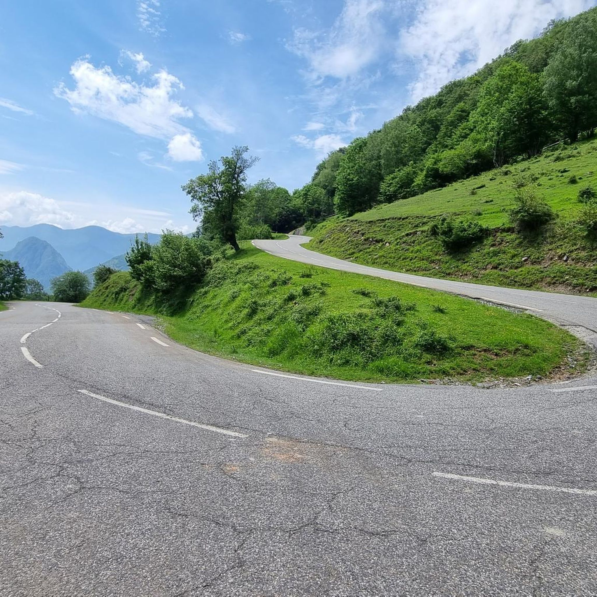
One of the mythical Pyrenean ports of the Tour de France, known largely for the tragic fall of Luis Ocaña in the 1971 Tour when he was leading the general classification. Its 2 aspects have a lot of crumbs: - west slope that starts from Saint Béat: it is the hardest. It is 9.7 km with an average slope of 8.7%. It is a very constant climb, with a small break when passing through Boux. The first part is a little harder and uglier since you barely have any views and you go up through the middle of a valley. The final part is spectacular with its many horseshoe curves, good panoramic views and the monument to the place where Luis Ocaña fell. - east slope: it is longer, with an initial section of 7 km very winding with a slope of 4%. It also has a break in its intermediate zone. Once the hard part starts, it is also very constant, like the west slope, although the average slope is 7-8%. This aspect has even more twists than the previous one. For more information, consult the profile published by cylcingcols.com -- > http://www.cyclingcols.com/col/Mente

번역: Google

0

0

레즈 주변에서 가장 인기 있는 경로

레즈 로드 사이클링 경로

레즈 주변에서 가장 인기 있는 명소

Mountain passes

Store rating

komoot 모바일 앱으로 영감을 받아보세요

무료 komoot 계정로 끝없는 야외 모험을 손쉽게 찾고, 맞춤 설정하며 길안내할 수 있어요.

또는

지금 komoot에 가입하세요

Store rating

더 살펴보기

찾고 있는 하이라이트를 아직 못 찾으셨나요? 다른 지역의 주요 명소 가이드를 확인해보세요:

가린구오 드 라부스트카자릴 라스페네스캐서비엘푸보빌리에르오오Benque-Dessous-Et-Dessus포테 드 루숑주르비엘카조 드 라부스트트레봉 드 루숑생마메트생아방탱Saint-Paul-D'Oueil카스티용 드 라부스트바네르 드 루숑무스타종안티냑몽토방 드 루숑사쿠르비엘의아한부르드우유시에 드 루숑시레스메이레뉴주제 드 루숑소데구오 드 루숑Salles-E-Pratviel아티그알로스마리냑생비트시르프 가우드밀하스라제큐이예아스펫멜레스Juzet-D'Izaut이자우 드 로텔Portet-D'Aspet헤란레주카조-레이리스Frontignan-De-Comminges아르게노스포스바초스센구아네트구란아르바스복스베장-가로프론삭생페다르데친데수스우라우에스타덴스Argut-DessousAntichan-De-Frontignes말베지시냑비노스바렌카자누스아르본푸가론몬타스트뤼크 드 살리에차움광석루르드제노스부르갈레이몽캅Sauveterre-De-Comminges에스테노스페이수스바르바잔루스칸바기리몽드갈리에카바나카조갈리에라브로케르발카브레르팬티수이히Saint-Bertrand-De-Comminges라바르트 리비에르아르디에주시에르 드 리비에르세일한루에드쿠레앙꼬스 레 테르메스마르트르 드 리비에르구르당-폴리냥레가드후오스살리히피가롤라바르트 이나르아스프레-사라트몽레조쿠구론레 투레유퐁라-테일레부르오손포인티스 드 리비에르클라락레스피토포인티스 이나드몬테스판보샬롯프랑카잘몽가야르 드 살리에카스텔비아그갈기레스텔-드-생-마르토리카사냐애인로크포르 쉬르 가론미라몽 드 커밍즈몽소네스에스탄카본아르노 길헴카스티용 드 생 마르토리세펙스벨베즈 앙 커밍즈Proupiary오싱리우카제사바르테스생메다르에스쿨리스라투에테레바스뚜이그의란도르테망시살리에 뒤 살라생마르토리아우자스라피트 투피에르마제르 쉬르 살라보르드 드 리비에르아울론카즈뇌브 몽토앨런마르술라리우소에포마레드오리낙빌뇌브 드 리비에르생 이냥르 프레셰부진생마르세몽툴리외-생-베르나르부산카스타네드라르칸카르데일하크르 꾸잉로드세데일락프랑크비엘생-엘릭스-세글란생플랑카드확성기레쿠상보드락빌뇌브-레쿠상페이루제트불로뉴 쉬르 게세라로크벤케랄로레 라피토퓨이마우린장삭 드 불로뉴블라얀생라리 부장생페델보스크에스카네크라베L'Isle-En-Dodon바하스Saint-Ferréol-De-Comminges시아두몰라생루프앙커밍즈니잔게세사레카브몽모랭카사냐베르 투르나스사레메잔찰스사만사무용페길앙몬딜한레스푸그몽가야르 쉬르 세이브보이세드발레스타카자릴-탐부레

근처 어드벤처 가이드

Argut-Dessous 즐길거리

background

새로운 정복을 위한 준비를 하세요

무료로 가입하기

탐험하기
경로경로 플래너기능바우처 사용하이킹MTB 트레일로드 사이클링 경로바이크패킹사이트맵
앱 다운로드
소셜 미디어에서 팔로우하기

© komoot GmbH

개인 정보 보호 정책