잔존물 최고의 라이딩 경로
4.5
(280)
2,620
자전거 타는 사람
23
라이딩
잔존물에서 로드 사이클링을 하실 계획인가요? 잔존물의 모든 로드 라이딩 중에서 가장 멋진 라이딩 장소를 엄선했으니 잔존물에서 가장 마음에 드는 로드 사이클링 경로를 찾아보세요.
마지막 업데이트: 10월 21, 2026
4.0
(2)
38
자전거 타는 사람
53.6km
02:18
380m
380m
보통 도로 자전거 타기. 좋은 체력 필요. 지면 대부분이 잘 포장되어 있고 라이딩하기 쉬움.
4.0
(1)
12
자전거 타는 사람
33.1km
01:34
330m
330m
보통 도로 자전거 타기. 좋은 체력 필요. 지면 대부분이 잘 포장되어 있고 라이딩하기 쉬움.

15
자전거 타는 사람
57.4km
02:41
690m
690m
보통 도로 자전거 타기. 좋은 체력 필요. 지면 대부분이 잘 포장되어 있고 라이딩하기 쉬움.
16
자전거 타는 사람
32.2km
01:18
160m
160m
초급용 로드 라이딩. 모든 체력 수준에 적합. 지면 대부분이 잘 포장되어 있고 라이딩하기 쉬움.
11
자전거 타는 사람
32.1km
01:26
310m
310m
보통 도로 자전거 타기. 좋은 체력 필요. 지면 대부분이 잘 포장되어 있고 라이딩하기 쉬움.
더 다양한 경로와 다른 탐험가들의 추천을 살펴보세요.
이미 komoot 계정이 있나요?
투어 추천은 다른 사람들이 komoot에서 완료한 수천 개의 활동을 바탕으로 구성되어 있습니다.
오늘 무료 계정으로 시작하세요
다음 모험이 기다리고 있어요.
커뮤니티 팁

Angenrod와 Billertshausen 사이에 있는 개신교 교회 "Getürms".
3
0
From Katzenberg you have a direct view of the Catholic church of Seibelsdorf.
3
0
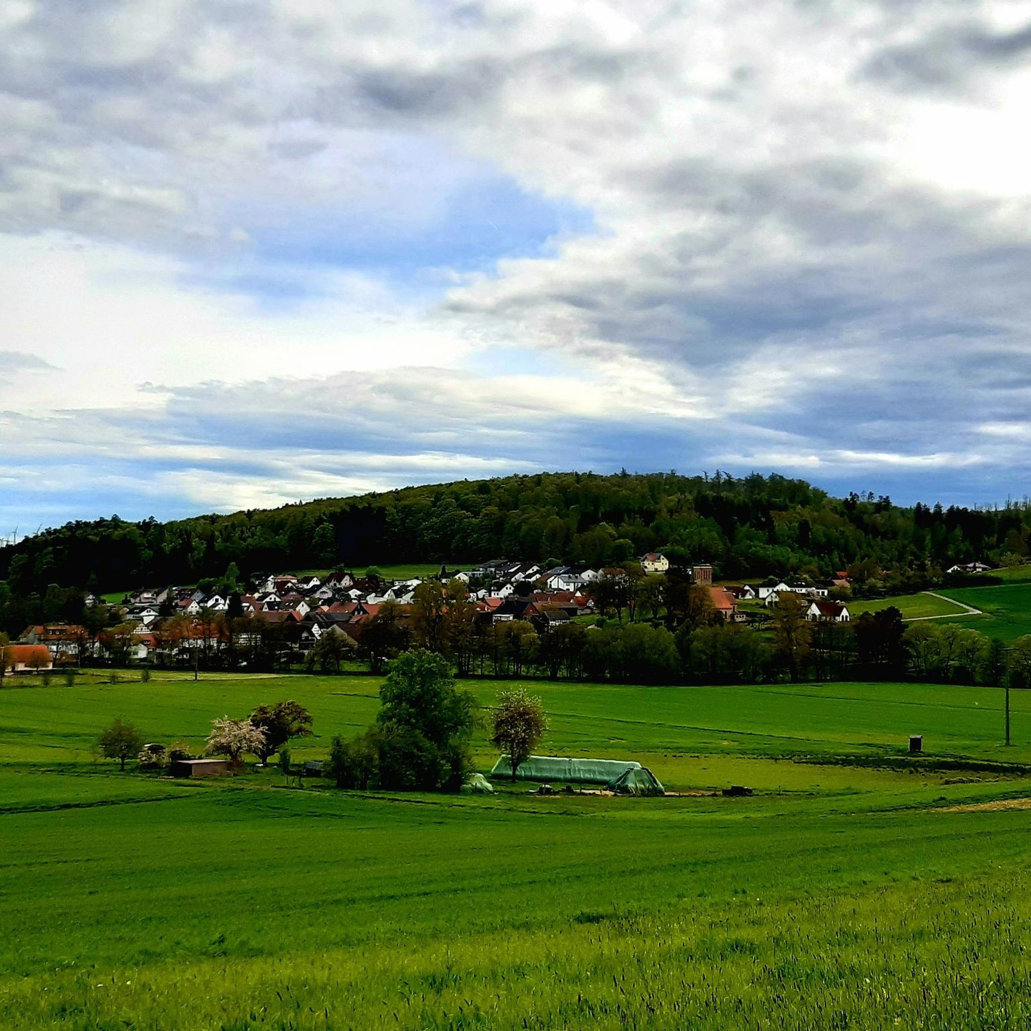
From Katzenberg, one has a magnificent view of Seibelsdorf and the surrounding Antrifttal valley.
4
0

The square is named after the fountain of the same name and has been exclusively accessible to pedestrians since the 1970s, thus creating a quiet zone within the old town. One of the most striking features is the legend: According to this legend, the stork myth plays a role here—the stork retrieved "newborn children" from the fountain or brought them to their parents.
6
0
The Katzenberg, also known as "Chattenberg," was once a place of execution. An information panel provides information about the history of this place. The panoramic view of Seibelsdorf is picturesque and beautiful!
7
1

Directly on the old railway embankment stands a wooden sculpture of Little Red Riding Hood
2
0

The Grenff rises in the Ottrau Uplands, its source 1.2 km southeast of Görzhain in a clearing on the northern flank of the Frohnkreuzkopf, the western foothills of the Rimberg (591.8 m), at an altitude of approximately 395 m. From Görzhain, the Grenf flows to the right of the Rotkäppche cycle path.
1
1
Here, the Grenf flows into the Schwalm after a 21.9 km run and a 181 m elevation gain. Its source is 1.2 km southeast of the Ottrau district of Görzhain in a clearing on the northern flank of the Frohnkreuzkopf (approx. 530 m above sea level), the western foothills of the Rimberg (591.8 m), at an elevation of approximately 395 m. From Görzhain onward, the Grenf accompanies the Little Red Riding Hood Cycle Path on the right.
2
0
잔존물 주변에서 가장 인기 있는 명소


더 살펴보기
다른 지역의 최고의 로드 사이클링 경로를 살펴보세요.
